

| Scenery AddOn Instructions and Legends | ||||
.png) |
RTMM Add-On is now available for use. There are now three "express" packages people can use to initially install RTMM in their sim. There is a more traditional version for FSX, FSX-SE, P3D 3.5, P3D 4+ also a version for P3D V4 and P3D V5. These latter two use the XML method for installation. Using these methods you can install ALL RTMM scenery Locations and Libraries in a matter of minutes. Click on the button to the left to go to the RTMM Add-On install table. (Click on green RTMM Complete Setups icon to the left for express installation.) | |||
Download NOTAM: All of the locations below may be downloaded and installed in the traditional manner. That means downloading each of these one at a time. However, all of the locations below are built into the new RTMM express methods of installation. (See: Downloads). |
|

| Click on a Letter to Navigate Alphabetically or Scroll Down to Browse |
| A B C D E F G H I J K L M N O P Q R S T U V W X Y Z |
| A | |||||||||||||||||||||||||||||||||||||||||||||||||||||||||||||||||||||||||||||||||||||||||||||||||||||||
|
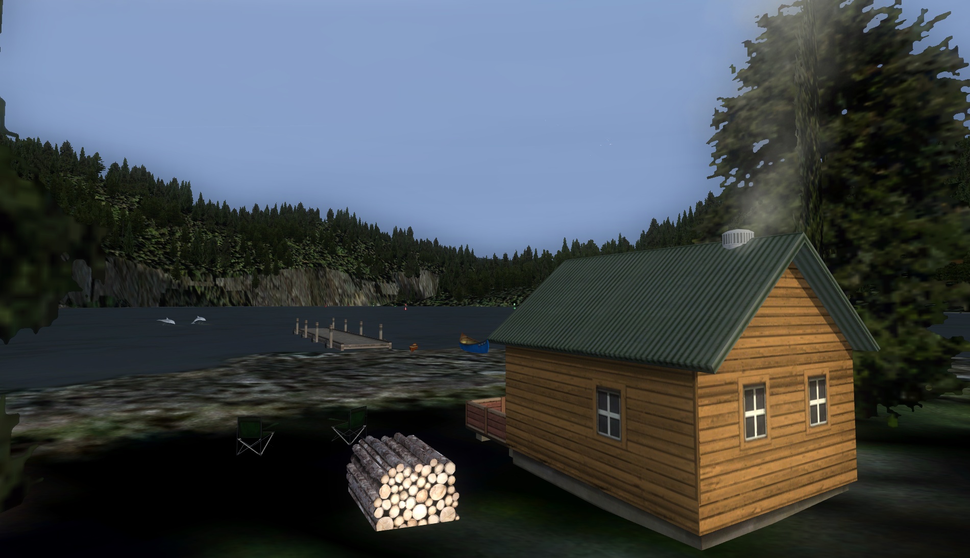
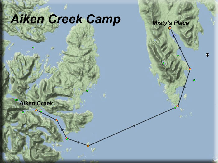
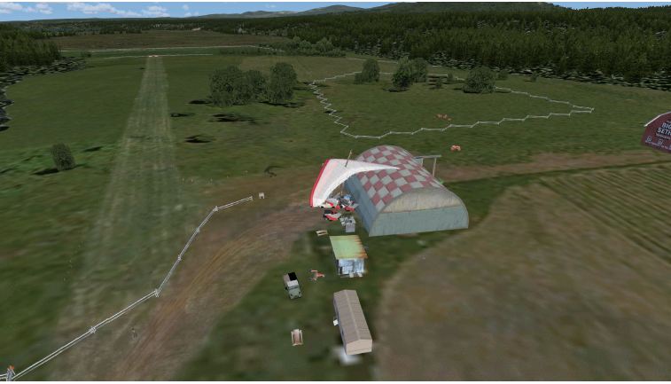
Aiken Creek Camp (Refreshed V2.0-07.07.2019) Scenery enhancements created by Brad Allen Storyline By Kim Gowney and Brad Allen Start: N55 7.18...W132 12.19...Mag:004 ...Water...WP: R001A NOTAM: Many new users start here with Aiken Creek. It is actually a very difficult landing zone. You might want to first try "Herring Bay" ... be sure you have Misty's Place installed. The flight plan starts you from Misty's Place airstrip so we recommend that you have this scenery installed, as advised in the NOTAM. You'll be landing on water [hopefully] at your destination so an 'amphibian' is required. You fly to the northern tip of Gravina Island and then west towards the Prince of Wales Island. As your near Moira Sound, north of the Egg Rocks, you'll see a 500 yard gap in the surrounding hills that opens into a sheltered waterway, the outline of which bears a passing resemblance to the Red Sea that lies between Africa and Asia. Halfway up this waterway is the mysteriously named 'Diechman Island' - the origin of the name has been lost in the mists of time. Continue flying north and you'll see a series of bays and inlets along the eastern shoreline that form the north-western corner of the channel. Lying under and north of Eudora Mountain [3515ft/1071m] is Aiken Cove. A narrow channel forks away to the left from the Cove to flow west past a steep sided ravine for about a quarter of a mile to open into the peaceful and secluded backwater that is Aiken Creek. Because of the high ground that shelters it from local storms it is a tricky place to land a seaplane. Your approach will need to be very much in the style of the Alaska Bush pilot - low and slow! You'll see several red and green navigational buoys marking the route up the channel from Aiken Cove onwards. A sharp left turn at the entrance to the Creek will set you up for a quick drop to the water's surface with enough room to run out. After you have tied your plane to the jetty in front of the cabin, enjoy the ambiance of your surroundings as you relax in the green chairs nearby. This is a magical place to see various types of wildlife and experience the tranquility of a backwoods lifestyle.
|
||||||||||||||||||||||||||||||||||||||||||||||||||||||||||||||||||||||||||||||||||||||||||||||||||||||
|
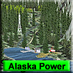
Alaska Power Project - See Alaska Power Plant Page (Refreshed V2.0-06.16.2019) By the Dr Thomas Menzel, Doug Linn and the RTMM Team Return to Misty Moorings ("RTMM") presents: The "Alaska Power Project" ("APP"). Dr. Thomas Menzel, Doug Linn and the team at RTMM have put together a unique new set of scenery locations and enhancements that we believe will give users many hours of enjoyment all along the Southeastern Alaska "Panhandle" region. We highlight and take an up close look at some of these power plants. Hydroelectric power is a cornerstone of the energy solution for Alaska with all of the remote areas that are within reach of these important power generating facilities. This project highlights some of those facilities and adds to your knowledge of hydroelectric power service in the area. It gives you, as best as we can create, a simulated view of these hydroelectric plants and their support structures. We will use these scenery locations to continue the RTMM focus in the area and give users a great new example of our "From Here to There" approach. We begin by creating the individual facilities in the area that coincides with their real world location where possible. Then by using objects from the RTMM libraries that we have access to, we try to make them look similar to their real world designs as best we can. We continue by building dispatches, scenic flight plans and creating tours that will take the user on various delivery and maintenance runs out and back to these beautiful and sometimes remote locations.
|
||||||||||||||||||||||||||||||||||||||||||||||||||||||||||||||||||||||||||||||||||||||||||||||||||||||
 Click to Enlarge
|
Allakaket Lodge and 6A8 (Refreshed 11.27.2021) By Doug Linn Lodge Dock Start: N66 33.8489 - W152 39.3328 – Mag: 103.3 Lodge Airstrip Start: N66 33.7736 - W152 39.4076 – Mag: 173.4 Lodge Airstrip Dock: N66 33.8014 - W152 39.4399 – Mag: 90.5 Altitude: 650' ... WP: R002A This is an "outliers" scenery location for the BWEP Dalton Highway pipeline segment. But you do not need BWEP to use this. This is a fictitious lodge placed on the river at Allakaket near 6A8 Airport. The lodge has a unique grass airstrip built out into the river. You can also land a float plane beside that airstrip where you will find a pullout ramp for amphibs and a dock for float planes. The lodge is located about 1 mile from 6A8, on a heading of 291. Only Prepar3d and FSX Prepar3d V5 folder here:
|
||||||||||||||||||||||||||||||||||||||||||||||||||||||||||||||||||||||||||||||||||||||||||||||||||||||
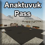 |
Anaktuvuk Pass Airport (For P3Dv5 Only) - 12.07.2021 Location: 68.13921 -151.73172 Anaktuvuk Pass Airport (IATA: AKP[2], ICAO: PAKP, FAA LID: AKP) is a public use airport located in Anaktuvuk Pass,a city in the North Slope Borough of the U.S. state of Alaska. The airport is owned by North Slope Borough. Situated inside the Gates of the Arctic National Park's . boundaries, at the top of a 2,000 foot mountain pass, the village of Anaktuvuk Pass is a great place to start your exploration of the north central areas of Gates of the Arctic National Park and Preserve. Anaktuvuk Pass is accessible by commercial air service from Fairbanks and hosts a ranger station staffed by National Park Rangers during the summer season. A small village off of the road system, Anaktuvuk Pass does have limited services available to visitors. Most of the residents of Anaktuvuk Pass are Nunamiut Inupiaq, and many still rely on subsistence activities to supplement their lives. If you visit or travel through the village and Native corporation lands in the area, please respect these traditional subsistence activities.The Nunamiut have a rich history living in the Brooks Range that dates back generations, and you can learn more about their culture at the Simon Paneak Memorial Museum located within the village.
NOTAM: This is new, but included in the latest P3D V5 master file. |
||||||||||||||||||||||||||||||||||||||||||||||||||||||||||||||||||||||||||||||||||||||||||||||||||||||
|
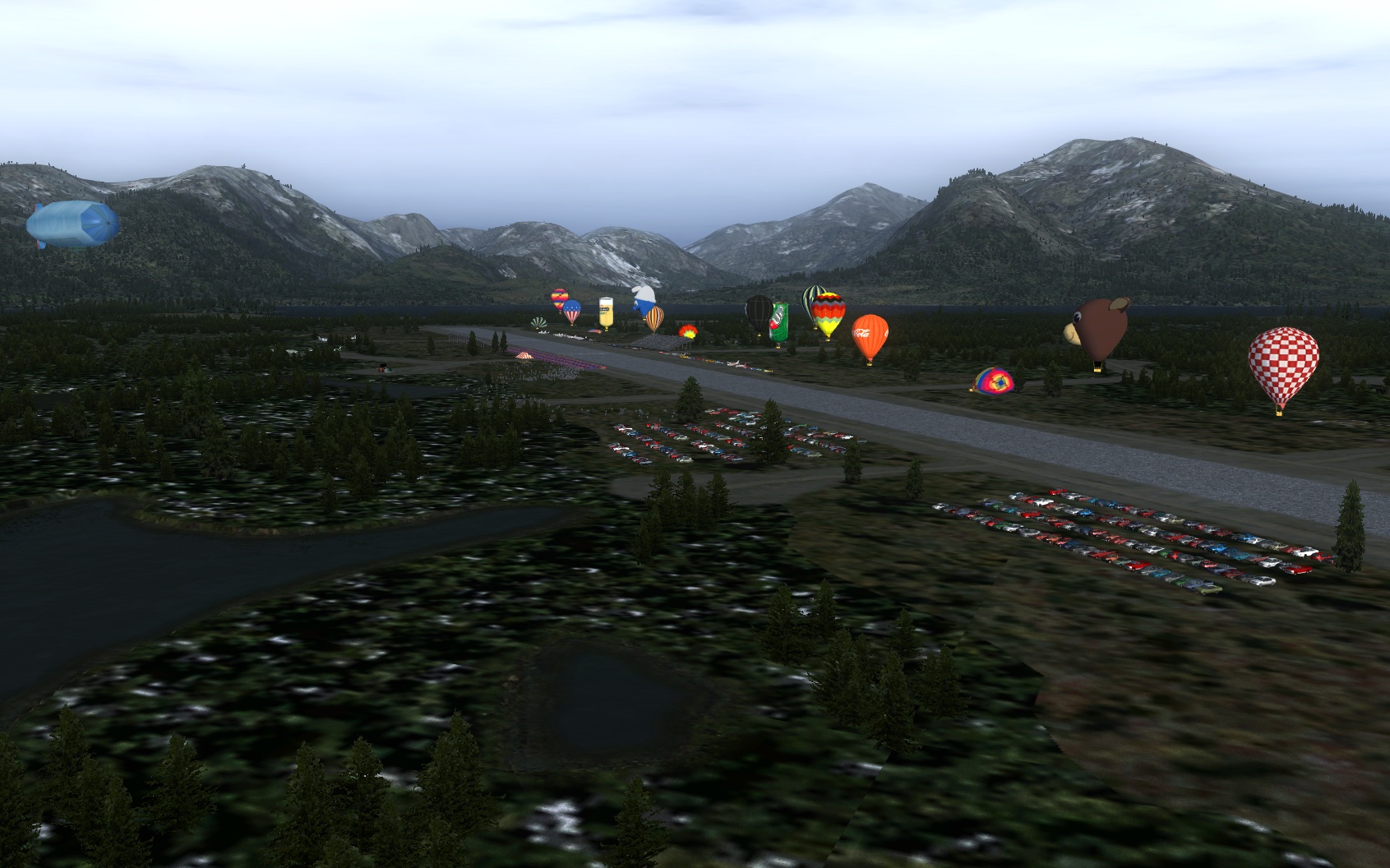
Annette Island Fly-In (Refreshed V2.0-07.26.2019)
Storyline and Design by Brad Allen Many aviators and non-aviators attend the annual Annette Island’ Fly In’ because it gives them a chance to get together to talk about their ups and downs of the past winter and their plans for the coming spring. Pilots camp out by the runway, view various attractions and enjoy the festivities. The highlight of the weekend is the ‘STOL’ Competition. ‘STOL’ stands for Short Take Off and Landing. This happens at an area located at the alternate runway on Annette Island (PANT) that gives pilots in various types of aircraft a chance to practice their STOL skills before heading on up to Valdez [PAVD] for the annual "Mayday Fly-In". This is where the best STOL pilots compete for the various prizes in the competition and it's a highlight of the weekend for the Fly-In festivities. Go here to see what it’s all about: https://www.valdezflyin.com/. Posted on this site are the STOL Competition rules real world pilots must follow: ‘Fly In info/ Pilot Packet’. Specific to this scenery, at PANT runway 02/20, there are a couple of lines painted on the runway with two cones resting at the starting (START) line and touchdown line (FINISH). The starting point is closer to the RWY 20 threshold and the touchdown point is closer to the RWY 02 threshold. The hot air balloons you see are anchored during the competition, making a colorful backdrop and they 'fly-off' afterwards. There may also be flight demonstrations by several private collection owners. This scenery can be used at any time to practice the skills required to win the competition and it's been made with the intention to hold multi-player online competitions in the future at RTMM.
|
||||||||||||||||||||||||||||||||||||||||||||||||||||||||||||||||||||||||||||||||||||||||||||||||||||||
| Back to Top | |||||||||||||||||||||||||||||||||||||||||||||||||||||||||||||||||||||||||||||||||||||||||||||||||||||||
 Click to Enlarge


 Click to Enlarge
 | B | ||||||||||||||||
 Click to Enlarge Click to Enlarge
|
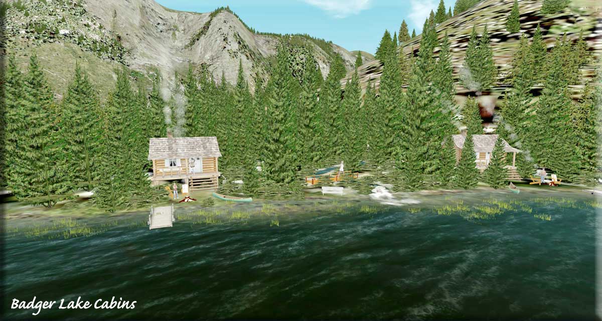
Badger Lake Cabins V2.0 by Doug Linn (Refreshed V2.0-07.02.2019) Storyline by Garry Scanlan Start: N55 12.8658 ... W130 48.1373 ... Mag: 049...Water...WP: R003A The two cabins are tucked into the outflow section of Badger Lake. The flight plan starts you from Wilson River Lodge (land) and you will be landing on water that does not freeze in the winter. The outfall lake is very short, so as you approach the end of Badger Lake, be ready for a sharp turn to port and be just above the treetops with 1/2 flaps and slow speed. The location area is richly landscaped. There is a higher level pond for fishing with a small ramp and dock. There is a stream coming from the higher pond to the lower lake. There is a path connecting the cabins and the upper pond. A walk up the path beside the stream to meet the lake is worth the effort because a wildlife surprise awaits! A great place for two families to camp.
|
|||||||||||||||
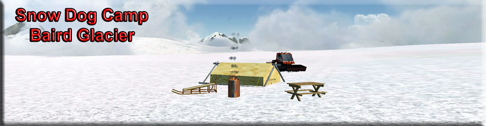
| Baird LeConteTour V2.0 (Refreshed V2.0-06.01.2019) By Doug Linn (site) - N57 15.1762...W13 12.7186...Alt 5000 ft... Mag 135...Ice Start: PAWG Above Petersburg are two beautiful glaciers that are easily accessible by bush plane. Snow Dog Tours has set up a camp near the summit of the Baird Glacier to give folks a first-hand look at the glacier. You fly out of Petersburg, to Thomas Bay, up the Baird Glacier ... stop at the Snow Dog Camp while the pilot drops off supplies, ... then continue to the summit and down the LeConte Glacier. Then you return back to Petersburg. It is about an 80 mile round trip that doesn't take long to fly. This is more about the journey than the destination, so use the Flight Seeing Tour and the V2 Trip Ticket. If you click on the Trip Tic button below, you'll see we have added much historical and geographical information to this tour. NOTAM: With this is a detailed Trip Ticket that has a lot of narrative in it so you can learn more about the area, its history and geology. The Flight-Seeing Tour (flight plan) follows the Trip Ticket.
|
||||||||||||||||
| Barnstormers V1.0 (Refreshed V1.0-05.26.2019) By Xavier Carre and Chris Losh Start: Streaham Farm Airstrip PF51 This is a redone and now re-introduced scenery location done by Xavier Carre' with some additional scenery locations by Chris Losh. We have combined these into a single rendering, so read the instructions carefully. This is Bush Flying at its BEST! A beautiful high plateau area in British Columbia, deceivingly "simple" for navigating, and 100% capable of getting you completely LOST! Combined, the package has over 30 locations with several new small airports. The attention to detail is excellent. Carefully go through the Readme.pdf that is enclosed in the download and you will have a good preview of what enjoyment you are going to have with this re-done, beautiful package. NOTAM: If you want this ORIGINAL scenery with a Season Switcher Overlay, you can download that below this entry ... "Barnstormers Seasonal". DO NOT run both locations at the same time, choose either Barnstormers or Barnstormers Seasonal.
|
||||||||||||||||
 Click to Enlarge
|
Barnstormers Seasonal (Refreshed V2.0-06.14.2019) Original Scenery By Xavier Carre and Chris Losh (01.06.2019) Season Switcher overlay created by Brad Allen Start: Streaham Farm Airstrip PF51 This is the exact ORIGINAL scenery from Xavier Carre and Chris Losh's Barnstormers ... but with Season Switcher Files added in overlay by Brad Allen. None of the original location scenery was changed. You will find some green evergreens in hard winter, but otherwise this works well with the season switcher Brad has overlayed. If you want to use the original scenery without the season switcher, use "Barnstormers" ... the entry above this one. NOTAM: DO NOT use both locations at the same time.
|
|||||||||||||||
|
Bear Camp Research V2.0 (Refreshed V2.0-06.14.2019) Original Scenery by Marvin Carter Scenery information and conversion by Mike Broemme Start: N49 32.8325...W122 29.2505... Mag:208...Land...Alt:2980...WP: R004A This is a fictitious research center located in the mountains north of Langley/BC, back in a canyon above Pitt Lake. It has short take off and landing field. Airfield elevation is 2814 ft, dirt strip length is 600 ft. This is an extremely challenging airstrip. It has a very short dirt runway with trees on both sides of the approach, and no "run out" at the end. You will need a short take off and landing aircraft. The camp is located up a canyon on a bend of Pitt Lake. You will need to negotiate through the canyons to reach it. If you leave from Langley/CYNJ at a heading of about 35 degrees you fly up Pitt Lake to the bend at about 3200 ft. I would suggest setting a low approach speed before you enter the tight confines of the canyons. If you have your autogen set all the way, it will be more challenging. The path for the approach is very tight. There is no service and no fuel available at the camp. - (Scenery Description by Marvin Carter)
|
|||||||||||||||
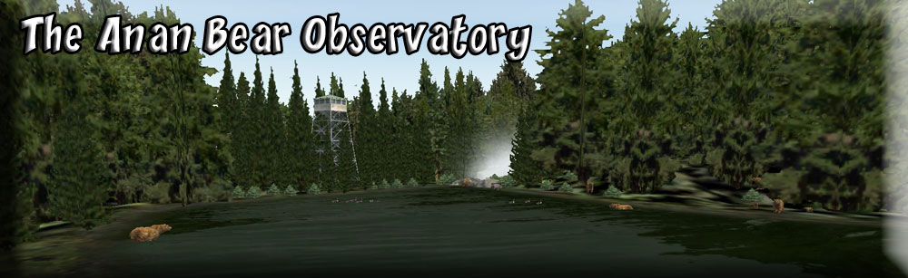
| Bear Observatory at Anan Lake V2.0 (Refreshed V2.0-06.14.2019) by Doug Linn Start: N56 10.9420...W131 53.4225...M:329 ...Water...WP: R005A The Anan Bear Observatory is now "open" at RTMM. This package has three locations (1) a dock (2) a landscaped 2 mile path (3) the bear observatory and (4) bear cabin where you can stay (it is also a place to fly to up on Anan Lake). Anan Creek is an area of rich history. The Stikine Tlingit clans had summer fish camps here and used Anan Creek’s large salmon spawning run to catch and preserve salmon for their winter food supply. Anan was unique because the large amount of salmon available made it possible to have several clans sharing one fish camp. The abundance of salmon also drew non-native people to Anan Creek. In 1901, Pilot Fish Packing Company set up a large fish trap at Anan that allowed few fish to make it up the creek. This lack of escapement was very destructive to the Anan salmon population. Commercial fish traps were outlawed shortly after Alaska became a state in 1959.
|
||||||||||||||||
|
Bettles Lodge & Airport V2.0 By Doug Linn (Refreshed 07.22.2020) VFR Location: 20 Miles WNW of PAPR Start: N66 55.0935...W151 31.0584...Mag: 127...Land...WP: R006A Bettles Airport and Lodge is a "real" location. It is located about 20 miles west northwest of Prospect Creek. This is an "outlier" location for the BWEP Pipeline ... for the Dalton Highway Section. A nice place to fly to as you are tracking the pipeline up to Prospect Creek. From their web page: "Bettles is located 35 miles north of the Arctic Circle in one of the last true pristine wilderness areas in the world. The small village of Bettles resides on the banks of the Koyukuk River, in the foothills of the Brooks Range - the northernmost mountain range in North America. It is known as the "jumping off" point of adventure into the Brooks Mountain Range, Gates of the Arctic National Park & Preserve, Noatak National Preserve, and Kobuk Valley National Park. Bettles Lodge offers complete trip packages as well as those individual services you may require. We offer unguided or guided wilderness trips including fishing, backpacking, canoe & rafting, photography and flight-seeing. In the winter, come enjoy the Northern Lights viewing, dog mushing and cross country skiing. There are no limits to the possibilities that await you in the Last Frontier. " Version for Non Prepar3d V5
Version for Prepar3D V5
|
|||||||||||||||
|
Big Creek Lodge - by Doug Linn (Refreshed V2.0-07.02.2019) Storyline by Garry Scanlan VFR Location: 95 miles NW of Campbell River BC VFR Location: 32 miles SW of CAF4 Dock: N51 9.1362...W123 33.5555...Mag: 346...Water Terminal: N51 8.9570...W123 33.5897...Mag: 208...Land...WP: R007A This is a fictitious set of 3 lodges just east of the ORBX PNW flight region ... this one is in the NRM (Northern Rocky Mountain) ORBX area. It is located about 25 miles Mag 135 from Twin Lakes (CAG4). The lodge complex consists of 3 lodges with a full road system connecting them. There is an amphibian pullout complete with taxi way to the main airstrip terminal area. Fuel is available for the float plans and for helicopters and fixed wing aircraft. The airport name is Big Creek Lodge and its ICAO designation is PF61. The NDB for this facility is on frequency 262. The scenery comes with the RTMM Season Switcher. The water freezes in winter (November to March) so be prepared for a ski or tundra landing in the water area. There is navigational night lighting for both marine and ground operations. Marine lighting blinks while ground navigation stays "on" steadily. Flying into and out of Big Creek Lodge is the most fun at sunset or dawn because all of the lighting is on for you plus the mountains look beautiful at these times of day. If you are landing from the North on the water runway, touch down just after the green flashing markers. Taxi toward the PORT (left) shore. Keep the green flashing lights to your left and the red ones to your right. Once you enter the Lodge lagoon, turn to port and you will find the amphibian pull out and the float dock just ahead (be sure to put the landing gear down). Go up the ramp area and follow it to the airstrip operations complex. Water Start: N51 9.1404 ... W123 33.5587 ... Mag: 248.3
|
|||||||||||||||
|
Big Fall Hydro - (Refreshed V2.0-07.02.2019) Scenery by Doug Linn, Storyline by Garry Scanlan Upper Lake: N53 59.0809...W129 43.4838...Mag:138...Water Lower Lake: N53 59.0042...W129 44.2512...Mag:25...Water...WP: R008A The Big Fall Hydro complex scenery package comprises four locations:
This location is accessible by float plane, boat or helicopter (there are two helipads). It is about 30 miles from Prince Rupert on a bearing of 105 degrees. Be sure to check out the power plant after dark ... it's lit up rather well.
|
|||||||||||||||
|
Big Lake Cabin - (Refreshed 04.24.2020) Scenery Created by Brad Allen and Story by Brad Allen Start: N55 25.6140...W131 11.0292...Mag: 306...Water...WP: R009A Big Lake has a small cabin on its shores. This old, but still usable, hut will provide shelter if pressed into service. This is a last resort for those trapped on the Lake when the weather turns. Keeping it company is a dilapidated and overgrown mooring [that you will want to stay away from if you want to remain warm and dry], plus a few pine trees. Despite its run down appearance this little scenery has a certain charm, particularly in wintertime - go check it out when you want to get away from it all. This scenery is complemented by RTMM's Mesa Lake Cabin and Gokachin Lake Cabin scenery packages which we recommend installing to get maximize your enjoyment of flying around this area, especially if you use the TripTic route. The Trip Ticket for this also includes Gokachin and Mesa Lake Cabins.
|
|||||||||||||||
 Click to Enlarge Click to Enlarge
|
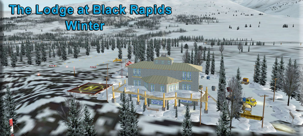
Black Rapids Lodge - (Refreshed V2.0-07.30.2019) By Doug Linn, Steve Weinkamer and Dex Thomas Storyline by Garry Scanlan Start: N63 33.1318...W145 51.8760...Mag: 25.4...Land...WP: R010A There is also a built in way point, 'BLKRP', that you can put into your GPS to find the lodge. It is actually located just a few miles north of Black Rapids Airport [5BK]. There is also AI traffic out on the water by courtesy of Dex Thomas. The README is HERE. This location adds to our locations along the BWEP Pipeline. This beautiful area is a MUST for your Alaska 'Bucket List' and you can go there now, courtesy of RTMM! Our special thanks to the management at The Lodge at Black Rapids for giving us permission to use their website pictures to make this a more realistic location for your enjoyment. You can contact them at: 877-825-9413 | 907-388-8391 or make reservations through their website listed above.
|
|||||||||||||||
 Click to Enlarge Click to Enlarge
|
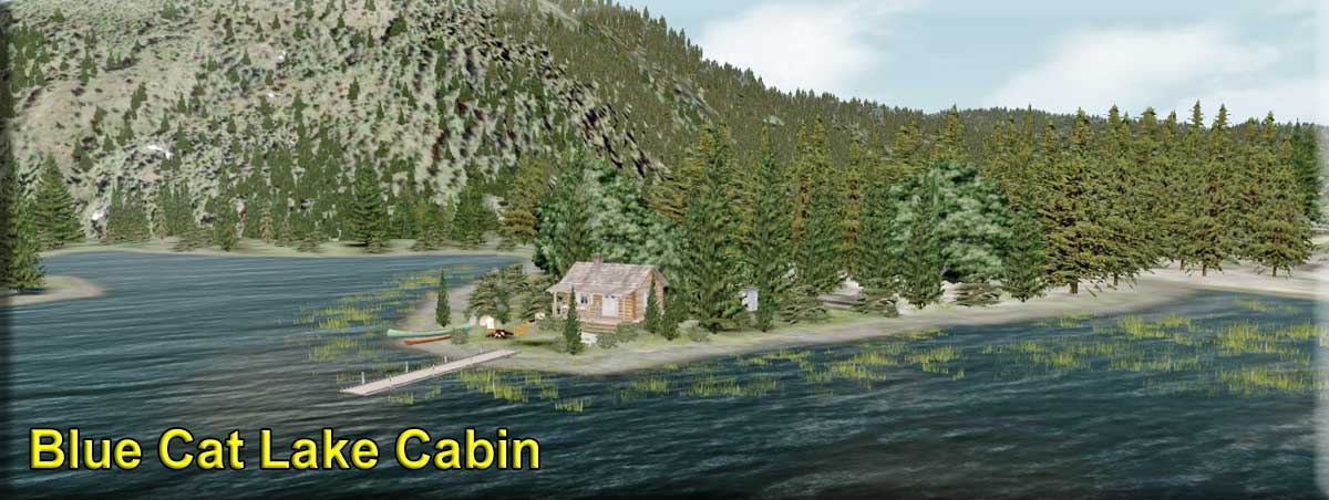
Blue Cat Lake Cabin - (Refreshed V2.0-07.02.2019) Scenery by Doug Linn, Storyline by Garry Scanlan Start: N55 30.5191 ... W133 40.0474 Head: 44.3...WP: R011A Blue Cat Lake Cabin is located in the very center of Noyes Island. It is a simple log cabin on a higher altitude fishing lake that freezes in winter. Most of the building materials used to construct it came from the surrounding forest and the rest was flown in by plane and helicopter. You can fly at 1200 feet all the way. At the end of the flight try to be at 1000 feet with full flaps as you approach the edge of the lake. NOTAMs:
|
|||||||||||||||
 Click to Enlarge Click to Enlarge
|
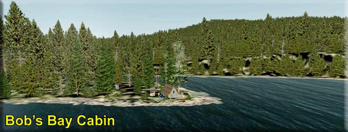
Bob's Bay Cabin - by Doug Linn (Refreshed V2.1-06.14.2019) Start: N55 12.6226 ... W133 9.7150 ... Head: 250 ... Water ... WP: R012A This locations consists of a small "A" Frame cabin on an inlet of Bob's Bay. This is only about 6 nm southeast of Waterfall, but staying over water at low altitude, the distance is about 10 nm. Be LOW and SLOW on the final turn, the landing zone is narrow and short. This is a great little hide-away. Starting here gives you a short, easy trip to Waterfall. You might want to fly over this and look at it the first time, the approach and landing are deceptively difficult.
|
|||||||||||||||
|
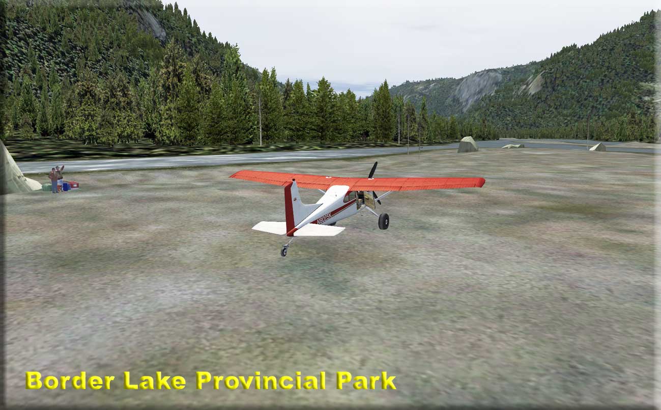
Border Lake Provincial Park (Refreshed V2.0-07.02.2019) Scenery created by Brad Allen and Story by Brad Allen Start: N56 20.34 ...W130 44.71 ... Mag: 186 ... Land ... WP: R013A Border Lake Provincial Park rests in the Uniq River Valley, on the border of Alaska. The occasional river rafter will enjoy the pristine, wild waters of the Unuk River, flowing through the park and into the Misty Fjords National Monument in Alaska. The highly productive wetland complex surrounding three small lakes included in the park offers habitat for a wide range of vegetation, waterfowl, mammals and fish. Good sport fishing isn’t hard to find in Alaska. In fact, in this land of 3,000 rivers, 3 million lakes and 6,640 miles of coastline, a sport fisher’s greatest challenge can be deciding where to get started. From an angler’s perspective, Alaska is enormous; fishing it all would require one to cast across a million square acres of streams, lakes and water-lapped shorelines every day for a full year. Think of it as the old anglers’ quandary – so much water, so many fish, so little time – but on a wilder, grander scale. This location is only reached by small water craft or bush plane. The landing area here is a gravel and mud bank in the middle of the Unuk river. There are large boulders from long gone glaciers that litter the river valley run off Skilled pilots will aim for the closest boulder to the rivers edge and come to a stop on the uneven surface. This scenery is inspired by the Discovery Channel TV series, "Flying Wild Alaska" and the ongoing adventures of Era Alaska COO and bush pilot extraordinaire, Jim Tweto. He routinely makes landings on similar river banks while dragging his tundra tires in the shallow water to slow his speed down just before coming ashore. Two clients are waiting near one of the large boulders with their gear.
|
|||||||||||||||
|
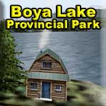
Boya Lake Provincial Park - (Refreshed V2.0-07.02.2019) Scenery and Story line by Brad Allen Start: N59 22.06 ... W129 6.24 - Mag: 301 - Water - WP: R014A Boya Lake is situated on the Liard Plain, an area carved out by glaciers 20,000 years ago. The area is characterized by eskers [elongated ridges] and small egg-shaped hills called 'drumlins' . The bottom of the lake is composed of marl, a mix of silt and shell fragments and the lake's aqua-marine color is a result of the sunlight reflecting through the crystal clear waters Boya Lake offers scenic camping, varied water activities [it is one of the few lakes in the north that gets warm enough for swimming in the summer], two short hiking trails, a mountain bike trail and its limitless bays and islands are perfect to discover by canoe or motor boat - it was once named 'Puzzle Lake' because of all the convolutions of its shoreline. Boya Lake Park, established in November 1965, lies within the traditional territory of the Kaska Dene First Nation, who currently live in and around the settlement of Good Hope Lake. Boya Lake is named for Charlie Boya, a First Nations man from the area. The interesting landscape of this park was formed by glaciers about 8,000 years ago, leaving a maze of gravel eskers and pothole lakes. This scenery includes several cabins and other points of interest all around the lake and park area. Look for campers in tents and cabins.
|
|||||||||||||||
|
Bradley Lake Hydro (Refreshed V2.0-06.14.2019) By Doug Linn & Rod Jackson Start: N59 45.29 ... W150 51.25 ... Mag: 278 ... Water ... WP: R015A Bradley Lake is about 14 miles northeast of Halibut Cove. Bradley Lake is a glacial lake taking the runoff from the Kachemak Glacier. The lake was dammed and a tunnel was built through the mountain toward the ocean on the other side. There the water comes out of the tunnel and goes into hydroelectric generators, then out falls to a stream that goes down the mountain and to the sea. The whole story of the hydroelectric project is in the Readme that comes with the scenery. This is a great side trip from beautiful Halibut Cove.
|
|||||||||||||||
|
Brad's BBQ Skeena River (Refreshed V2.0-07.13.2019) Scenery by Doug Linn - Sound by Dex Thomas - Object by Xavier Carre Start: N54 19.22 .... W129 13.17, Mag 156 ... Water ... WP: R016A You will be finding "Brad's Bait & BBQ" along many rivers as the franchise grows. These are small restaurants with a fueling pier where you can tie up and even spend the night on a long river journey. They serve the finest BBQ north of Memphis. Brad's Bait & BBQ #1 - Skeena River This is the first location of the new franchise. It is located at the outfall of the Alastair River on the Skeena River. This is a great place to start a run up the Alastair River to get to "The Landings" on Alastair Lake. Caters to boats, helicopters with floats and float planes.
|
|||||||||||||||
| Brad's BBQ Stewart -(Refreshed V2.0-06.01.2019) By Doug Linn - Special Objects by Steve Weinkamer Start: N55 55.09 ... W129 59.71 ... Mag: 170.9 - Water ... WP: R017A Brad's BBQ Stewart is located about 3 miles from the CZST airport directly off the runway leading to the water. At this facility, you will find a working fuel pump, an operational windsock and lots of activity as people enjoy the food and drink. Also included in this package is an (optional) Fuel Trigger for CZST (located by the fence) and an (Optional) NDB. (To disable these easily, check the "readme." The NDB is "CZS" and the frequency is "352". This is a great stopover as you are working the Ice Stations of CIRP and when coming and going from Stewart. You'll find a great deal of water activity at this site, the Hovercraft going down to Soule Landing starts near here and several cruise ships dock at Stewart.
|
||||||||||||||||
|
Bronson Creek (Refreshed V2.0-06.14.2019) Scenery and Story created by Brad Allen Start: N56 40.59 ... W131 5.63 ... Mag: 132 ... Land ... WP: R018A Deep within the Iskut River Valley of British Columbia was one of the largest gold mines in North America - the Snip Gold Mine. The lack of roads and constant requirement for re supply warranted the use of air support to keep the mine running. It's a tricky approach and a dirt airstrip that has an incline to it. Also, there is construction near the South end of the airstrip. Look for equipment moving the earth down there to fill in the large depression in the terrain.
|
|||||||||||||||
|
Burnett Inlet Cabin (Refreshed V2.0-06.14.2019) Scenery and Story created by Brad Allen Start: N56 9.7584 ... W132 27.9776 ... Mag: 131.1 ... Water ... WP: R019A A small isolated "A" frame cabin in Burnett Inlet, this location is a perfect place to find solitude and live off the land. Burnett Inlet is a narrow fjord on Etolin Island. Arriving here is a pleasure as the surrounding terrain in the fjord seems to climb straight up in places. The island contains a population of introduced elk and plenty of fishing, hunting and exploration await those who stay here. Bear frequent the area so take all necessary precautions. Did you know that although the triangle shape of the A-frame has been present throughout history, it saw a surge in its popularity around the world in the post-World War II era, roughly from the mid-1950s through the 1970s. It was during this time that the A-frame acquired its most defining characteristics and this cabin was one of the first A-frame cabins in the region.
|
|||||||||||||||
 lick to Enlarge lick to Enlarge |
Blue Wave Energy Partners: Southern Alaska A-BWEP Southern Alaska Default (Added 09.16.2016)* B-BWEP Southern Alaska with PAVD(Added 10.12.2016)* Project Leader, Scenery Creation, Placement by Brad Allen The "Blue Wave Energy Partners" [BWEP] pipeline project attempts to replicate a crude oil delivery platform similar to the actual Trans-Alaska Pipeline [TAPS]. In trying to strike a perceptive balance between the real and virtual worlds, RTMM is attempting to highlight the rugged Alaskan landscape alongside the engineering marvel that the real world pipeline is. This project is in no way an exact replica of the actual pipeline; it's not supposed to be anything but a fictional creation based on a real-world project. It does not follow the same course and does not represent the correct layout design of the real pipeline. The BWEP pipeline uses the real-world pipeline as a guideline, not a rule! While it is based on its real world counterpart, it's a unique design that enables the virtual pilot to fly 400mi/644km of the varied, vast and desolate scenery of the 'Last Frontier' from Prudhoe Bay to Valdez. We must also credit Orbx for producing such excellent scenery to make this possible. There is AI Traffic by Dex Thomas that, sadly, does not work in P3D v5. Additionally, there are some superb BWEP repaints from Klaus Tröppner for various stock and payware airplanes, helicopters, boats and ships."
*NOTAM: There are two versions of BWEP Airports ...
|
|||||||||||||||
| Back to Top | ||||||||||||||||
 Click to Enlarge
 Click to Enlarge
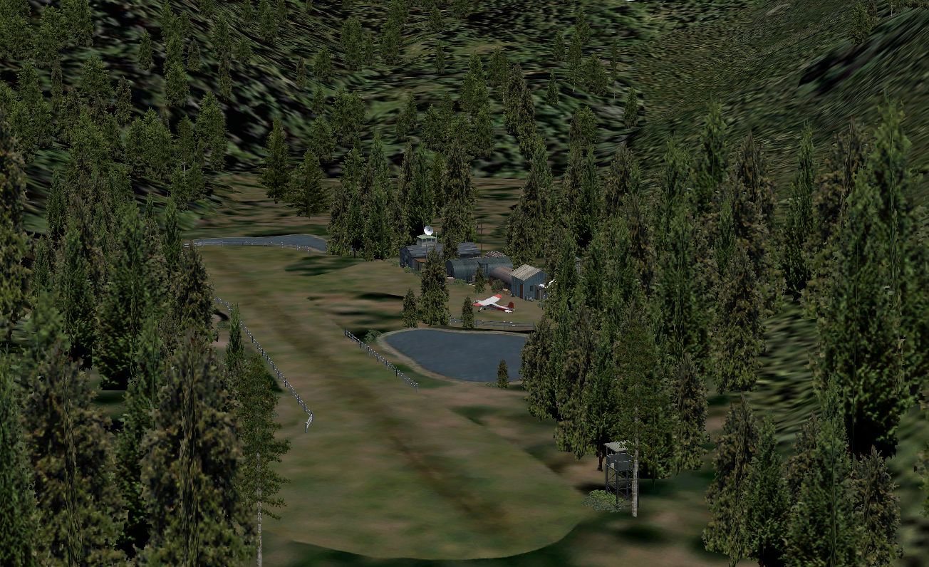 Click to Enlarge
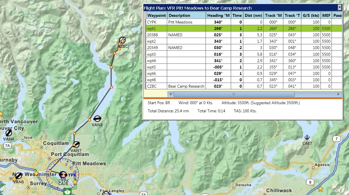
 Click to Enlarge
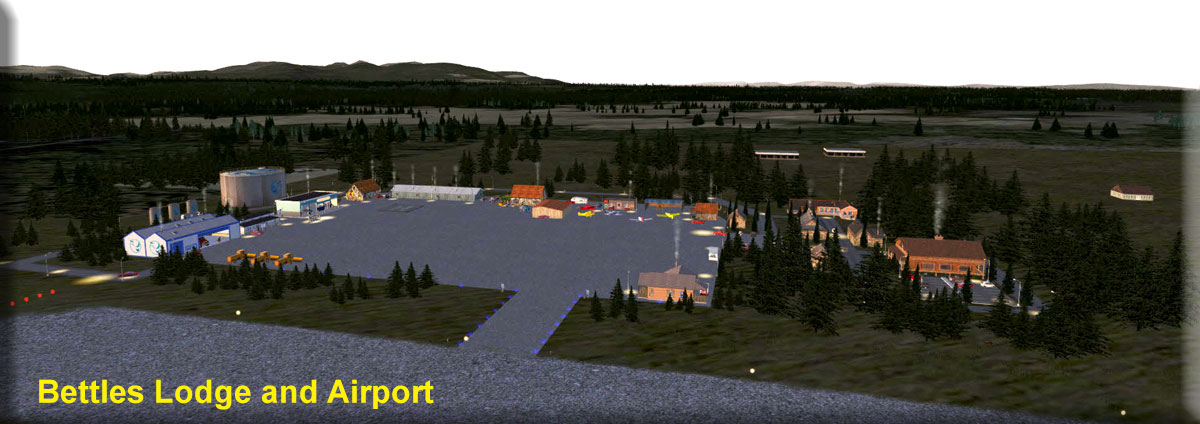 Click to Enlarge
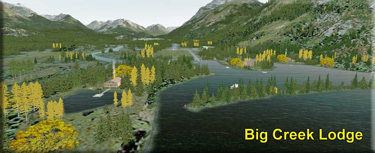 Click to Enlarge
 Click to Enlarge
 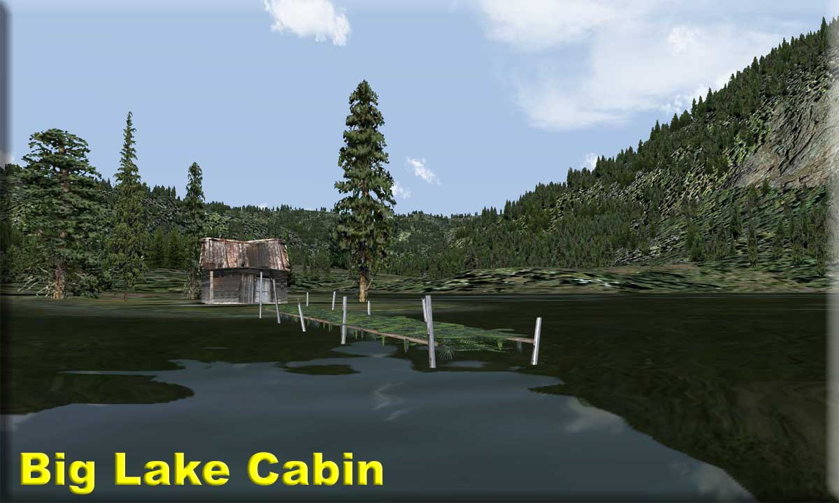 Click to Enlarge
 Click to Enlarge
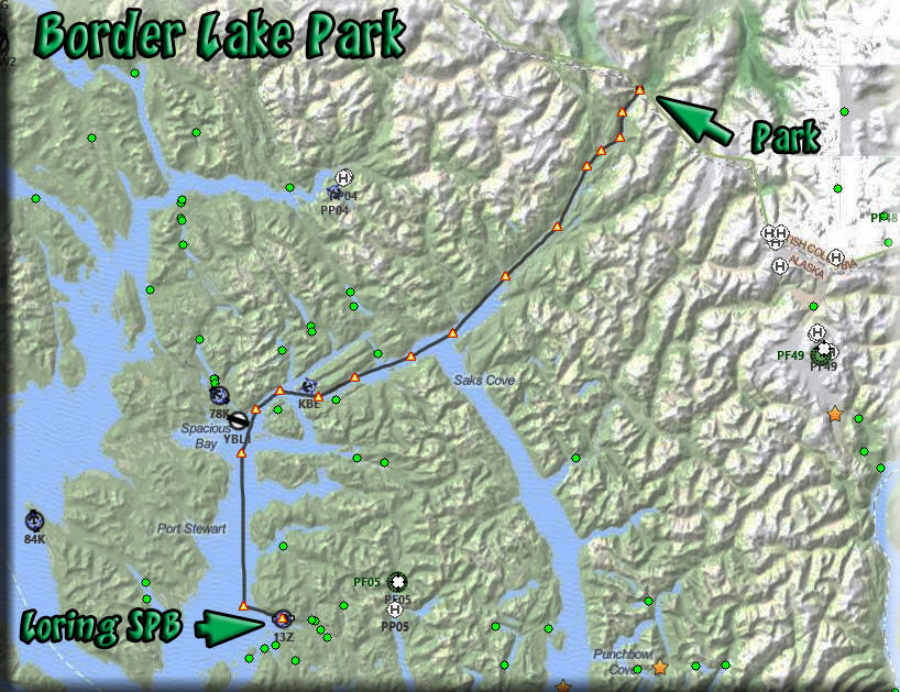
 Click to Enlarge
 Click to Enlarge
 Click to Enlarge
 Click to Enlarge
 Click to Enlarge
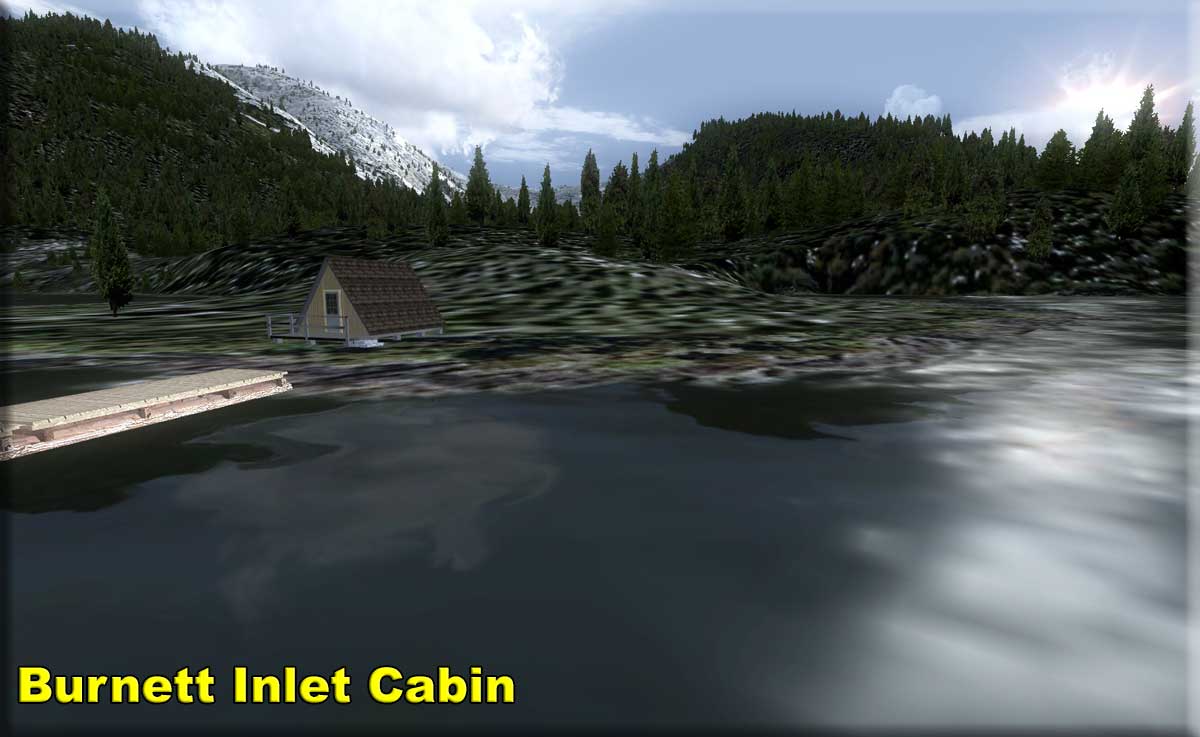


| C | |||||||||||||||||||||||||||||||||||||||||||||||||||||||||||||||||||||||||||||||||||||||||||||||||||||||||||||||||||||||||||||||||||||||||||||||||||||||||||||||||||||||||||
| C.I.R.P. Ice Stations (Combined) (Refresh V2.0-06.01.2019) Scenery by: Brad Allen, Chris Brisland, Doug Linn, Xavier Carre', Dex Thomas "RTMM is proud to bring you its version of the FS2004 masterpiece, 'SIRP', by "The Amigos". SIRP stands for "Stikine Icefield Research Project". This scenery centers on the Cambria Icefield and others nearby in the Stewart area. The original inspiration for this scenery came from SIRP, but we were re-inspired by this website: Cambria Icefield & Salmon-Frank Mackie Glaciers that has many fine photographs of the CIRP area and is well worth a visit. In this package are ten isolated research camps at various locations in the Cambria Icefield and flying to these camps will enable the RTMM pilot to explore this seldom visited area of North America. All the camps are situated on the ice; some are small and hard to find and some are easily approachable. NDB radio beacons for each ice station are included in the package that you can tune to in your aircraft's ADF. Landing at these ice camps presents challenges you won’t find on any other surface and tests even the most experienced aviator. The weather will vary and each visit will yield different conditions. Even if you only fly out to one location several times in a row, it’s never going to be “routine” up here. For many, these challenges are part of the attraction. There are also many scenic treasures up above the mountaintops. This area has been beautifully rendered with glacial textures and accurate land class in the ORBX FTX scenery package, “Pacific Fjords" and after you have landed, you can explore at ground level or set out on a resupply mission. RTMM provides a 6-wheeled military vehicle called the 'Stalwart' and a hovercraft for these trips across the ice. There are special sounds and effects that were created exclusively for this package [such as blowing snow] and they can be installed from the respective zip files. CIRP repaints are available for the Grumman Goose and several types of helicopters. There is AI traffic at Bromley Peak Ice Station. There is an extensive PDF README that you should read thoroughly to familiarize yourself with the ice stations and their installation Click on the button below "Read Me" to get the file. Below this location entry, you will find several others that are "add-ons" for C.I.R.P.. Download and install them as any other RTMM scenery package. Click on the 'GoTo CIRP' link button below to go to the CIRP page.
C.I.R.P. Combined Ice Stations download is on the CIRP page.
|
|||||||||||||||||||||||||||||||||||||||||||||||||||||||||||||||||||||||||||||||||||||||||||||||||||||||||||||||||||||||||||||||||||||||||||||||||||||||||||||||||||||||||||
 Click to Enlarge Click to Enlarge |
C.I.R.P Blowing Snow Effect (Refresh V1.0-06.01.2019) Original Effects Created by Ed Truthan Re-engineered by Steve Weinkamer Blowing snow effects at each of the CIRP ice stations are now possible!! This is a series of files that work well for us up here on the icefields of CIRP. Originally designed for use in the FS9 scenery, SIRP, these files use the effects found in the Ed Truthan Blowing snow file that you can find on our CIRP Extra Addon's area. You must have that file installed in FSX or P3D to see these effects files work with CIRP. This has been completely re-engineered by Steve Weinkamer to work with FSX/P3D. Click HERE to see a short video of the effect.
|
||||||||||||||||||||||||||||||||||||||||||||||||||||||||||||||||||||||||||||||||||||||||||||||||||||||||||||||||||||||||||||||||||||||||||||||||||||||||||||||||||||||||||
|
|
C.I.R.P. Bear River Lodge- (Refresh V2.0-06.01.2019) Scenery by Xavier Carre' (C.I.R.P. Addon) Start: N56 5.43 ... W129 53.27... Mag: 059 ... Water ... WP: R020A Bear River Lodge is an exquisite house, built on Bear River. A place for rest and delectation. Very good food, fishing and hiking through the wilderness. Often, a bear family come here for brunch! You can see them on the opposite riverside.
|
||||||||||||||||||||||||||||||||||||||||||||||||||||||||||||||||||||||||||||||||||||||||||||||||||||||||||||||||||||||||||||||||||||||||||||||||||||||||||||||||||||||||||
|
|
C.I.R.P. PAKT Office Default (for stock PAKT) (Refresh V2.0-06.24.2019) By Brad Allen and Xavier Carre' (C.I.R.P. Addon) This office complex is not only a small supply depot for CIRP, but it's located at the larger regional Ketchikan Airport in Alaska and is situated within a few steps from the main passenger terminal at the airport. Because of this great location, many passengers come into the office looking to take tourist flights out to the glaciers in the Cambria Icefield near Stewart. Tourists can visit the vast glacier area and land at several ice stations situated on the glaciers for various activities. There are excursions at the Summit Ice Station that takes visitors on a hovercraft tour over the nearby Salmon and Frank Mackie glaciers.
|
||||||||||||||||||||||||||||||||||||||||||||||||||||||||||||||||||||||||||||||||||||||||||||||||||||||||||||||||||||||||||||||||||||||||||||||||||||||||||||||||||||||||||
|
|
C.I.R.P. PAKT Office - Payware- (Refresh V2.0-06.01.2019) This office complex is not only a small supply depot for CIRP, but it's located at the larger regional Ketchikan Airport in Alaska. The tour office is located in the lower level of the airport, a short walk from the ferry terminal. Each year hundreds of people come to take tourist flights out to the glaciers in the Cambria Icefield near Stewart. Tourists can visit the vast glacier area and land at several ice stations situated on the glaciers for various activities. There are excursions at the Summit Ice Station that takes visitors on a hovercraft tour over the nearby Salmon and Frank Mackie glaciers. This scenery is part of the Cambria Icefield Research Project package by the team at RTMM.
This package contains several remote outposts situated in the icefields near Stewart. NOTAM: This version includes both the upper level and lower level CIRP offices and supply centers. NOTAM: The ORBX PAKT and the SP1 for PAKT (Ketchikan Airport) Scenery must be installed before this will work. This addition is intended to put a CIRP office in the NEW PAKT Scenery from ORBX. This scenery is ONLY for the new PAKT with the slanted runways. NOTAM: You should also download the AI Traffic Fix, this new PAKT gives us an AI traffic conflict that can be fixed with THIS FILE (also found under enhancements/PAKT AI Traffic Conflict.
|
||||||||||||||||||||||||||||||||||||||||||||||||||||||||||||||||||||||||||||||||||||||||||||||||||||||||||||||||||||||||||||||||||||||||||||||||||||||||||||||||||||||||||
|
|
C.I.R.P. Premier Gold Mine - (Refresh V2.0-07.03.2019) By Brad Allen (C.I.R.P. Addon) Lat: N56 3.6 ... W130 0.3 ... no landing ... WP: R021A Premier was a large gold mining camp in British Columbia, Canada, some 18 miles from Stewart, that started operations in 1910. The mine was a major employer in the area. The property sat idle from 1967-1988 until it was reopened as an open pit mine in 1989 by Westmin Resources. Underground operations began in 1993, continuing until the pit closed for the final time in 1996. These days Premier is described as a 'ghost town'.
|
||||||||||||||||||||||||||||||||||||||||||||||||||||||||||||||||||||||||||||||||||||||||||||||||||||||||||||||||||||||||||||||||||||||||||||||||||||||||||||||||||||||||||
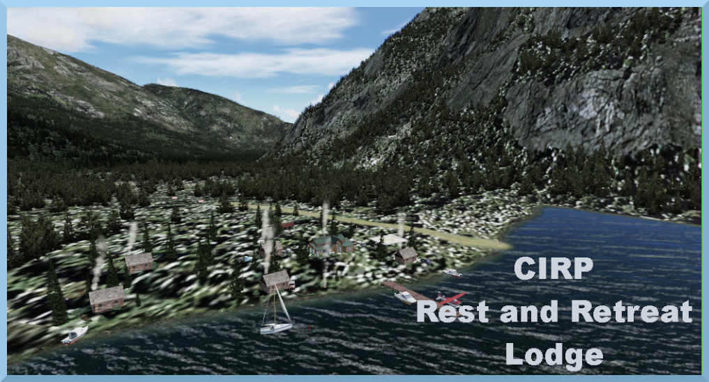
| C.I.R.P. Rest and Relaxation Lodge - (Refreshed 06.01.2020) Scenery by Doug Linn Land Start: N55 52.8737 ... W130 11.9496 ... Mag: 255 ... WP: R571A Water Start: N55 52.8737 ... W130 11.9496 ... Mag: 255 CIRP Rest and Relaxation Lodge is a retreat from the CIRP altitude for the workers that toil among the snowy clouds of the Ice Stations. This is a place where people can sit by a fire, or relax in a lounge and a GOOD bed away from the rigors of the frigid altitude environment of the Ice Stations. There are cabins for privacy, a lodge, a short airstrip, boats available and some fine fishing right off the dock.
|
|||||||||||||||||||||||||||||||||||||||||||||||||||||||||||||||||||||||||||||||||||||||||||||||||||||||||||||||||||||||||||||||||||||||||||||||||||||||||||||||||||||||||||
|
|
C.I.R.P. Soule Glacier - (Refresh V2.0-06.01.2019) By Doug Linn (C.I.R.P. Addon) Start: N55 52.90 ... W130 11.96 ... Mag: 070 ... Water ... WP: R022A This CIRP Extra gives you two new locations: Soule Landing and Rest and Relaxation Lodge. This package is mostly for people who enjoy traveling by land vehicle (hovercraft) on the ice. The entire Frank Mackie side of CIRP is now connected by land routes, all clearly marked with special markers guiding you from one place to another. The routes connect Summit Ice Station, Through Glacier Research Center, Rest and Relaxation Lodge, Soule Landing and the Operations Center at Stewart. You can travel from sea level to 6000 feet easily using the well-marked routes. The Rest & Relaxation Lodge is for the ice workers who spend long periods of time out on the ice in relatively harsh conditions. They are given an automatic "time out" for a 3-5 day mini-vacation to the R&R Lodge where they can fish, hike, go boating, take canoe trips and even go horseback riding using horses from the included stable. The Lodge is accessible by float plane, wheeled (STOL) aircraft, hovercraft and helicopter. Soule Landing is at the outfall of an ancient water runoff from the Soule Glacier. CIRP takes advantage of this natural "landing" so it can be used to supply the Frank Mackie side of the CIRP project. There is a large dock for larger boats to carry supplies and people. Because of the activity, a small community has spring up there complete with a Brad's Bait & BBQ for those who need a meal along the way. This package comes with 12 "flight plans" that you can put into the gps of your land-based vehicle to get you safely from "here to there." It is possible (and even fun) to run these routes at dusk and night time. Each of the markers have strobe lights that flash after dark to make them easier to find.
|
||||||||||||||||||||||||||||||||||||||||||||||||||||||||||||||||||||||||||||||||||||||||||||||||||||||||||||||||||||||||||||||||||||||||||||||||||||||||||||||||||||||||||
|
|
C.I.R.P. Operations Stewart (Refresh 05.10.2020) Scenery by Brad Allen, Custom Objects Xavier Carre' (C.I.R.P. Addon) This facility is the operations base and the main supply depot for all of the ice stations in the Cambria Icefield Research Project. Larger aircraft and ships have access to the area and can provide the required supplies for storage at the depot. After the supplies are processed, smaller aircraft and helicopters ferry the necessary equipment, provisions and other items out to the ice stations. Then at the end of the day, pilots and staff meet for a nice cold beverage at the "Shamrock Tavern" nearby or head to dinner at "Barnstormers" just a few blocks from the airport. Also, there is a Return to Misty Moorings office located next to the Ops Base. This scenery is part of the Cambria Icefield Research Project by the team at Return to Misty Moorings. The CIRP package contains several remote outposts situated in the Icefields near Stewart. NOTAM: This scenery works with the default CZST and the Orbx payware product 'CZST Stewart Airport'.
|
||||||||||||||||||||||||||||||||||||||||||||||||||||||||||||||||||||||||||||||||||||||||||||||||||||||||||||||||||||||||||||||||||||||||||||||||||||||||||||||||||||||||||
|
Cabins by the Lakes I v2.0 - (Refreshed V2.0-07.03.2019) Scenery and Storyline created by Brad Allen Starting Points: (See Starting Points Table on Here2There Page) The remote areas of the Yukon Territory, British Columbia and coastal Alaska are steeped in history and are lands of unlimited adventure, it's a constant struggle for survival for man and animal alike. From the towering Rocky Mountains to the rugged Coast Range and then on to the Pacific Ocean, this part of North America promises the visitor some breathtaking scenery. Stay at these cabins and experience the natural beauty and remote solitude around you. Take yourself back to simpler times by splitting some wood for a blaze in the cabin's wood stove under the light of an oil lamp. Enjoy the warmth as your gear dries out from a long day, perhaps a journey down the mighty Yukon River or an icy traverse across a glacier. Whether it be a recreational boat trip or hunting expedition, you'll have plenty of adventures by visiting these wooden shelters and make memories to treasure for a lifetime . This scenery uses seasonal scenery so you'll need to install the RTMM Season Switcher utility by Rod Jackson if you haven't already. Also, special thanks go to Urs Burkhardt for the Westwood Inn object permissions and to Dieter Linde for the Plan G Way points file. NOTAM: Cabins by the Lakes version 1.0 is a new scenery project by Brad Allen that includes 30 locations found in the back country of the ORBX/FTX region "Southern Alaska". There are many locations that also include seasonal switching abilities using the Season Switcher tool by Rod Jackson found "Here" at RTMM. Most of the cabins and small shelters make use of the "Westwood Inn" library of objects with special permission by Urs Burkhardt. This is an extensive work that will give you many hours of flying time learning the areas of ORBX SAK. Cabins Included are below: (Click on Link for Map)
|
||||||||||||||||||||||||||||||||||||||||||||||||||||||||||||||||||||||||||||||||||||||||||||||||||||||||||||||||||||||||||||||||||||||||||||||||||||||||||||||||||||||||||
|
Cabins by the Lakes II - (Refreshed V2.07.03.2019) Scenery and Storyline by Brad Allen Starting Positions are listed below for each location This second edition of the Cabins By the Lakes scenery for RTMM centers around the Southern Lakes region of the Yukon Territory. This area is considered the 'gem' of the Yukon because of its mountains crested with glaciers that meet clear blue lakes and endless boreal forests which sit in between. The network of lakes, rivers and glacial streams form the headwaters of the mighty Yukon River and the area’s network of waterways and trails form a backcountry playground for adventurers. Several small communities, rich with history, make this scenic area home. During the fur trade years up to the late 1890s, the Southern Lakes region was an important region for commerce between the coastal Tlingit people and the inland Kaska and Tutchone peoples. The Tagish people, whose traditional territory lies in the Southern Lakes region, became the middlemen in this trade relationship and adopted many customs of the Tlingit. During the Gold Rush [1896-99], the Southern Lakes region was a transportation center for goods and people moving north into the Klondike. The White Pass and Yukon Route railway connected the Southern Lakes region to Whitehorse and 'sternwheelers' moved throughout the lakes system transporting goods, gold-seekers and tourists. Today, the Southern Lakes region’s vibrant communities and abundant opportunities for outdoor adventures make it a popular place to visit. The remote lakeside cabins you can access in this scenery will deliver some challenges to aviators but the rewards at the end of the journey are worth the trouble. Get out there and find them! Cabin Starting Locations:
NOTAM: Flight Plans to all locations are currently available in the RTMM_Flight_Plans.zip that can be found on the Here2There Page. Also these are all in the GoTo Table. CSV Data points for Plan G are HERE. All Maps and Flight Plans are in the zip folder.
|
||||||||||||||||||||||||||||||||||||||||||||||||||||||||||||||||||||||||||||||||||||||||||||||||||||||||||||||||||||||||||||||||||||||||||||||||||||||||||||||||||||||||||
|
Canoona Fish Camp (Refreshed 04.11.2020) Scenery and Storyline created by Brad Allen Start: N53 1.75 ... W128 38.52 ... Mag: 310 ... Water Start: N53 1.78 ... W128 38.65 ... Mag: 234 ... Land ... WP: R087A The Canoona River is located on Princess Royal Island and flows over a series of rapids from Canoona Lake to meet the Inside Passage of British Columbia opposite Khutze Inlet. Fish ladders have been built on both sides of these rapids to help the salmon population return to their spawning areas upstream. The abundance of returning salmon make the Canoona River a popular feeding place for the "Kermode" or "spirit bear". These white bears were, at one time, thought to be albino but are in fact a sub-species of the Black bear. The Kermode bear can be black also. It is estimated there are only between 100 and 500 white furred Kermode bears, making them relatively rare. Interestingly, the white bears catch more salmon during daylight than the black coated bears, which have more success in lower light. The fall spawning runs are the only time in the year these omnivorous bears eat flesh. RTMM has added Grizzly bears to the scenery and you can watch them as they try to catch the leaping salmon. You might be lucky and see a "spirit bear" trying his hand [or paw], so check down by the mouth of the river when you arrive. Also updated were the seasonal tree objects and several that were above the surrounding terrain level are now fixed. Canoona Lake Fish Camp is situated at the head of Canoona Lake. It has a short airstrip for bush pilots and a dock for floatplanes. Anglers visiting here not only have first class tented accommodation, courtesy of RTMM but also plenty of fishing ahead of them because not only is the Lake a prime spot for fishing but, thanks to man's efforts, the trout and salmon runs on the river are fantastic. This scenery was the first to use the original RTMM scenery Switcher. SEASON SWITCHER COMPATIBLE - Download HERE
|
||||||||||||||||||||||||||||||||||||||||||||||||||||||||||||||||||||||||||||||||||||||||||||||||||||||||||||||||||||||||||||||||||||||||||||||||||||||||||||||||||||||||||
|
|
Cape Spencer Light-By Doug Linn (Refreshed V2.-07.03.2019) Start: N58 11.9250 ... W136 38.2698 ... Mag: 235.6 ... Water ... WP: R088A Oh, the stories that can be told of life at lonely Cape Spencer Lighthouse! According to Coast Guard lore, no one ever reported sober to begin his year-long tour of duty on the rock and that single year of service for some seemed more like a life sentence. At this remote outpost it was said that the Coast Guard motto had been changed from “Semper Partus” (Always Prepared) to “Simply Forgotus”. Construction of the lighthouse began in 1924. In 1926 it was the first lighthouse in Alaska to be given radiobeacon facilities. The Fresnel lens was removed in 1974, the same year in which the lighthouse was automated. This small lighthouse, perched atop the seventy-foot-tall rock, is still considered an important navigational aid and receives regular Coast Guard visits. The cape is named after George John Spencer, England’s First Lord of the Admiralty from 1794 to 1800. Cape Spencer is an important turning point for vessels sailing between South central and Southeast Alaska. North of Cape Spencer ships are exposed to the full fury of the North Pacific ocean as they are forced to transit the Outside Passage but at Cape Spencer ships can turn east and pass through Cross Sound and Icy Strait to reach the relatively calm waters of the Inside Passage.
|
||||||||||||||||||||||||||||||||||||||||||||||||||||||||||||||||||||||||||||||||||||||||||||||||||||||||||||||||||||||||||||||||||||||||||||||||||||||||||||||||||||||||||
|
Cedar Ridge Lake Retreat (Refreshed V2.0-07.03.2019) Scenery enhancements by Brad Allen Story by Kim Gowney & Brad Allen Start: N55 49.24 ... W131 23.15 ... Mag: 247 ... Water ... WP: R089A Cedar Ridge Lake Retreat is a fly fisherman's dream. It is tucked back into beautiful Misty Fjords scenery in a location you will have to "find". This is area is dotted with tents and docks and also has a nice small lodging facility. This is a popular destination so it is highly likely there will be other people enjoying the lakes and the various attractions in the surrounding area. Do not be surprised in the right season to hear the occasional crack of a hunting rifle! The plan is to find yourself a good spot to set up your campsite then get to fishing. There is a fine head of recently stocked Arctic Char in the lake, much prized for both their fighting ability and eating quality! A perfect location to take "Bob" out for a walk. "
|
||||||||||||||||||||||||||||||||||||||||||||||||||||||||||||||||||||||||||||||||||||||||||||||||||||||||||||||||||||||||||||||||||||||||||||||||||||||||||||||||||||||||||
|
Chandalar Lake PALR (Added 07.22.2020) Scenery by Thomas Menzel Start: PALR Chandalar Lake is a lake in Yukon-Koyukuk Census Area, Alaska, United States. It is located roughly 183 miles (295 km) north of Fairbanks near the Brooks Range. It is located near, although not in, the Arctic National Wildlife Refuge The lake is approximately 9.5 miles (15 km) in length. Average Weather at Chandalar Lake Airport Alaska, United States At Chandalar Lake Airport, the summers are cool and mostly cloudy and the winters are long, frigid, snowy, and partly cloudy. Over the course of the year, the temperature typically varies from -19°F to 64°F and is rarely below -40°F or above 73°F. Based on the tourism score, the best time of year to visit Chandalar Lake Airport for warm-weather activities is from late June to mid July. Some nearby airports with instrument procedures:
Flight Plans from these airport to PALR and map of all BWEP locations:
There are two versions, one for NonV5 and P3D V5 Below is the zip for the NON P3D V5 version: Below is the zip for the P3D V5 Version:
|
||||||||||||||||||||||||||||||||||||||||||||||||||||||||||||||||||||||||||||||||||||||||||||||||||||||||||||||||||||||||||||||||||||||||||||||||||||||||||||||||||||||||||
 Click to Enlarge Click to Enlarge
|
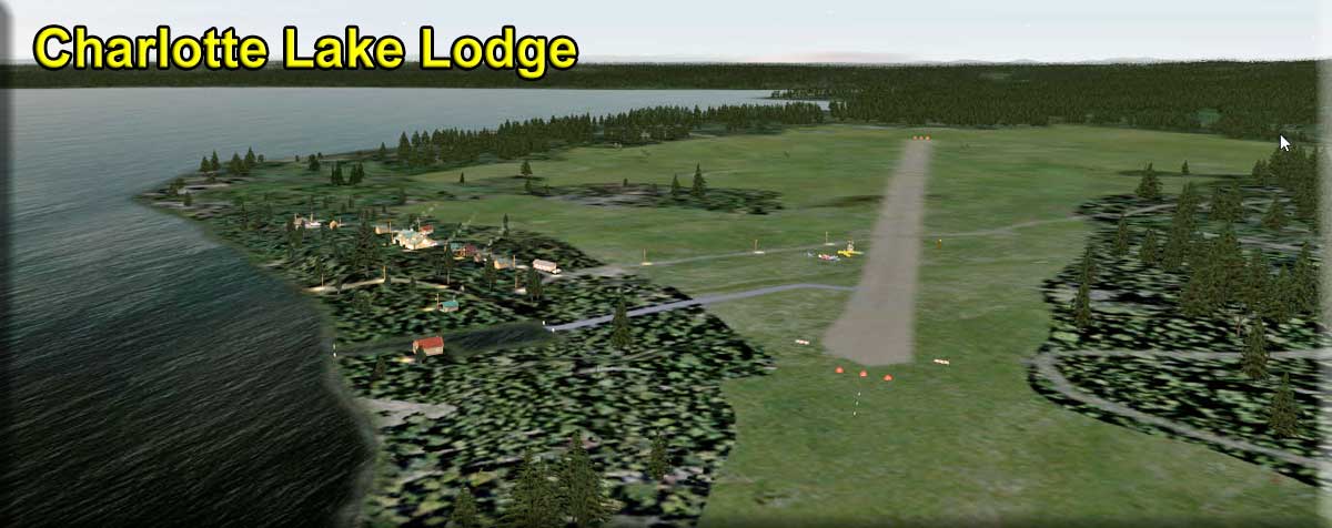
Charlotte Lake Lodge - by Doug Linn (Refreshed V2.0-07.21.2019) Land Start: N52 9.2378 ... W125 16.7718 ... Mag: 142 Water Start: N52 9.3757 ... W125 16.8508 ... Mag: 111 ... WP: R090A Charlotte Lake is a 20 km (12.4 mi) long and 6 km (3.72 mi) wide lake located in B.C.'s Chilcotin region, south of Nimpo Lake on the Pine Point Resort road. Driving conditions to the lake can be rough in wet weather but even though the road can be bad, Charlotte Lake is a popular destination for anglers and families. Most of the objects are already in the ORBX PFJ software. The runway is "natural" dirt and a little bumpy. This scenery set adds an amphibian pullout plus night lighting for the complex and the airport . Fuel is available at the fuel dock on the lake and a lighted windsock is operational. The flight plan included with this scenery starts from RTMM's Westwood Inn so it is recommended you download this scenery as well. The flightplan will start you in the center of the runway; taxi to the WATER end of the runway and take off.
|
||||||||||||||||||||||||||||||||||||||||||||||||||||||||||||||||||||||||||||||||||||||||||||||||||||||||||||||||||||||||||||||||||||||||||||||||||||||||||||||||||||||||||
 Click to Enlarge Click to Enlarge
|
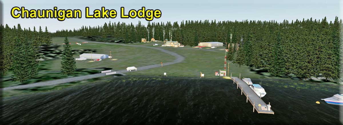
Chaunigan Lake Lodge - by Doug Linn (Refreshed V2-007.03.2019) Chaunigan Lake Lodge started as a fishing lodge in 1935 and sits on the shore of this timeless glacial lake. History has proven that its greatest asset [after the scenery of course] is the world class wild rainbow trout fishing - the average fish size is 2 ½ pounds. . Nowadays, the rustic lodge and log cabins offer an unparalleled family retreat in the southern Cariboo-Chilcotin wilderness. Guests to the lodge can either paddle in canoes, boat, fish, hike, discover wild flowers and spot wildlife or simply kick back and relax under the stars. This scenery is in the ORBX PNW package, but only the basics, so we decided to rectify this. We made a bridge for the stream and added runway lighting, a fuel trigger, wildlife, a windsock and an amphibian pullout, plus we've moved breakwater and the floatplane pier. . So, fire up your favorite floatplane and fly to the RTMM enhanced Chaunigan Lake Lodge and discover all that this location has to offer!
|
||||||||||||||||||||||||||||||||||||||||||||||||||||||||||||||||||||||||||||||||||||||||||||||||||||||||||||||||||||||||||||||||||||||||||||||||||||||||||||||||||||||||||
 Click to Enlarge Click to Enlarge
|
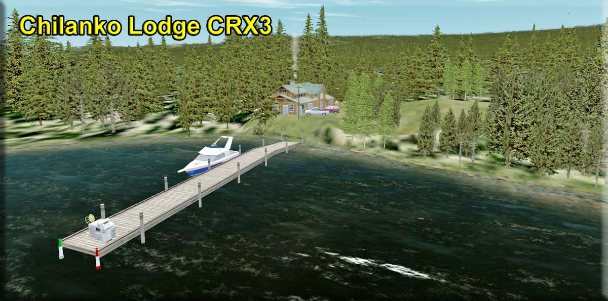
Chilanko Lodge - by Doug Linn (Refreshed V2.0-07.03.2019) Chilanko Lodge, situated by One Eye Lake, has a float plane dock with fuel available. For non-amphibious craft there is a 3100ft/945m long registered airstrip - 'CBX3'; elevation 3000ft/914m and a helipad. The lodge is situated in the Kleena Kleene area which is the driest area in B.C. so don't worry too much about the 'natural' airstrip getting muddy. Hikers wishing to explore the nearby waterfalls and lakes use the lodge as a base and 'Fly-outs' are available for anglers who desire to fish the areas many plateau and alpine lakes, This scenery location is in the ORBX PNW scenery package, but only the basics. RTMM has enhanced it. The airstrip now has night lighting, a fuel pump, a parking area for planes and an active windsock. So grab your plane of choice and go check it out!
|
||||||||||||||||||||||||||||||||||||||||||||||||||||||||||||||||||||||||||||||||||||||||||||||||||||||||||||||||||||||||||||||||||||||||||||||||||||||||||||||||||||||||||
 Click to Enlarge Click to Enlarge
|
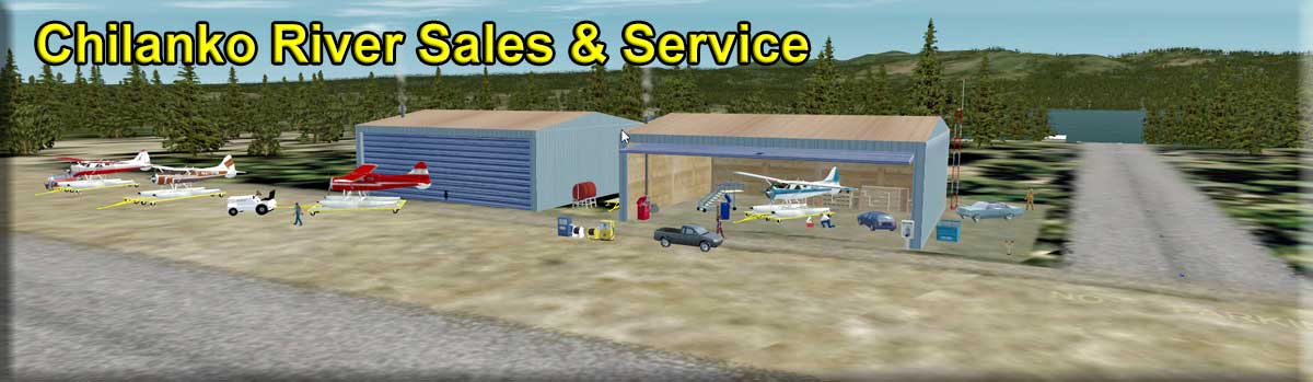
Chilanko River Sales and Service (Refreshed V2.0-07.04.2019) Scenery by Doug Linn, Storyline by Garry Scanlan Land Start: N52 6.6429 ... W124 8.9462 ... Mag: 96.5 ... WP: R093A Water Start: N52 6.4611 ... W124 8.8526 ... Mag: 319 At last! A place to purchase your new float plane and is also a 'full service' location where you can fly to and get the undercarriage changed from pontoons to wheels. Chilanko River Sales and Service (or Chilanko River Floats) has an ICAO designation of PF62 and is located adjacent to Puntzi Mountain Airport [CYPU]. Need skis? They've got 'em. They even have storage for your pontoons, skis or wheel gear while you are flying using what you have just had installed. You can land at their dock in your float plane; they will pull your plane onto a trailer and haul it up to the workshop.. When the work is completed you can then taxi the short distance to the facility's [shorter] runway [04R/22R] that is parallel to the main 04L/22L runway at CYPU, take off and fly home.
|
||||||||||||||||||||||||||||||||||||||||||||||||||||||||||||||||||||||||||||||||||||||||||||||||||||||||||||||||||||||||||||||||||||||||||||||||||||||||||||||||||||||||||
|
Chilcotin Plateau Airfield (Refreshed V2.0-07.04.2019) Scenery and Design by Xavier Carre Start: N51 53.9099 ... W124 36.2400 ... Mag: 200 ... Land ... WP: R094A Chilcoten 1938 – A rich Canadian farmer living near the freshwater Tatla Lake, B.C., decides to build an airfield with all the bells and whistles. Fast forward to the present and there are only sad reminders of this once proud airfield. Remarkably, it is not quite gone yet as it is used these days by a flying school. Chilcotin Plateau is a charming but almost featureless area. Apart from the plateau and the local residents, 123 people and even more cows, the only point of interest is Tatla Lake. There certainly seems little to commend it, but if you like your destinations quiet and peaceful with beautiful landscapes, this is for you. The 2000 strong coastal community of Bella Coola is about 45 minutes' flying time to the west. RTMM has made scenery for this location, so, if you've not done so already, we recommend you download and install the RTMM AI Shipping Project scenery. This excellent AI maritime package contains specific scenery and AI traffic for Bella Coola and it is self-installing! So, what are you waiting for?
|
|||||||||||||||||||||||||||||||||||||||||||||||||||||||||||||||||||||||||||||||||||||||||||||||||||||||||||||||||||||||||||||||||||||||||||||||||||||||||||||||||||||||||||
 Click to Enlarge Click to Enlarge
|
Circle City Lodge at PACR (Refreshed 07.22.2020) By Doug Linn - A BWEP Addon Location for "The Interior" Start: N65 49.8334 - W144 3.8581 - Heading: 139* (Water/Ice) - WP: R095A Circle City Lodge is situated on the wild and beautiful Yukon River. The frontiersmen who named the city did so believing they were on the Arctic Circle, but alas, they were actually 50 nm to the south. Every February, Circle City hosts a checkpoint for the long-distance Yukon Quest sled dog race. Many of the events in John McPhee's non-fiction book, Coming Into The Country (1976), occur in Circle. This lodge is connected to the town of Circle City and to the Circle City Airport PACR by road. Night lighting is in place for the low light winter days. The Yukon is frozen in fall, winter and spring, so choose your aircraft wisely. Suggested departing airports are located in the area covered by the RTMM scenery 'BWEP -The Interior': Chatanika (PF59), Livingood Camp (4AKL), Hess Creek (PF60) and Cursed Hills (PF63). As RTMM progresses with the creation of the BWEP pipeline, “off the circuit” locations will be added to give you places to fly “off” the pipeline circuit. Circle City Lodge is one of these locations. BWEP stands for Blue Wave Energy Partners and if you wish to find out more about the project it is under 'B' on the 'Scenery' page. For Non Prepa3d V5 or Default users:
For Prepar3d V5 users only:
|
||||||||||||||||||||||||||||||||||||||||||||||||||||||||||||||||||||||||||||||||||||||||||||||||||||||||||||||||||||||||||||||||||||||||||||||||||||||||||||||||||||||||||
|
CJ's Bed and Breakfast (Refreshed V2.0-07.04.2019) Scenery and story created by Brad Allen Start: N55 1.7221 ... W129 34.4899 ... Mag: 070 ... Water ... WP: R096A CJ's Bed and Breakfast is a tourist destination at the mouth of the Nass river near the village of Laxgalts'ap. The reason why the indigenous people of Canada, the Nisga'a, call this village of approximately 500 people " Laxgalts'ap ".is because in the Nisga'a language, Laxgalts'ap translates to "village on village" - the village was built on the site of a much older one that was destroyed by fire. Other names for the village are or have been 'Laxqalts'ap' and 'Greenville' (pron. GREN-vill) after Methodist Missionary Alfred Green, who was based here in the late 19th Century. It is one of the four main villages in the Nisga'a Lisims, the formal name for the Nisga'a territory and is situated on the north side of the Nass River between Gitwinksihlkw to the east and Gingolx to the west. Lovers of the great outdoors can take advantage of many activities this area affords, such as sport fishing, eco tourism, historical sites, day cruises, canoeing and kayaking, hiking, cycling, and Northern Lights viewing. RTMM has enhanced the scenery to include not only various buildings and vehicles, but a boat ramp plus a boat and floatplane dock that is right next to "CJ's on the Water", a great local restaurant that is open all year. So the next time you're feeling hungry, go fly and sample the 'fare' on offer in this package.
|
||||||||||||||||||||||||||||||||||||||||||||||||||||||||||||||||||||||||||||||||||||||||||||||||||||||||||||||||||||||||||||||||||||||||||||||||||||||||||||||||||||||||||
|
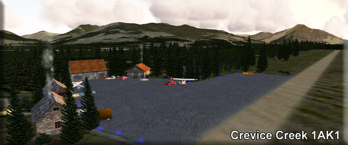
Crevice Creek (Refreshed V2.1-07.04.2019) By Doug Linn Ramp Start: N67 22.2115 - W152 0.8516 – Mag: 277 ... WP: R097A This is a scenery package of a real location - Crevice Creek Airport [1AK1] - a privately owned, small, country-type airport located approximately 30 miles NNW of Bettles Airport [PABT]. This airport has minimal lighting but can be used in low light conditions. Fuel is available. The 'dirt' airstrip [13/31] is 2250ft/686m long at an elevation of 840ft/256m. Check the 'Scenery' page under 'B' if you want to know more about BWEP and for a scenery package for Bettles Airport. To learn more about the great work of the Civil Air Patrol, go to https://www.gocivilairpatrol.com/.
|
||||||||||||||||||||||||||||||||||||||||||||||||||||||||||||||||||||||||||||||||||||||||||||||||||||||||||||||||||||||||||||||||||||||||||||||||||||||||||||||||||||||||||
| CU Ranch (Refreshed V2.0-07.04.2019) Scenery created by Chris Losh Story by Cris Losh Start: N55 11.5159 ... W131 23.0922 ... Mag: 182 ... Water ... WP: R098A CU Ranch is a resort area located south of Ketchikan on the east side of Annette Island with cabins and a main building for conventions and weddings. It is a very popular destination with the boaters because of the excellent docking facilities. The RTMM scenery reproduces these docks with many different types of watercraft safely berthed there. There is a helicopter pad near the water for those that want fast trips into Metlakatia. Whether you are tying the knot, doing business or simply taking a break, a float plane or helicopter is the recommended way to get to CU Ranch if you don't have a boat. Pull up to the docks and get some gas if you're low - be careful not to snag the line of the angler fishing there! This is an excellent scenery package and well worth a visit.
|
|||||||||||||||||||||||||||||||||||||||||||||||||||||||||||||||||||||||||||||||||||||||||||||||||||||||||||||||||||||||||||||||||||||||||||||||||||||||||||||||||||||||||||
| Back to Top | |||||||||||||||||||||||||||||||||||||||||||||||||||||||||||||||||||||||||||||||||||||||||||||||||||||||||||||||||||||||||||||||||||||||||||||||||||||||||||||||||||||||||||


 Click to Enlarge
 Click to Enlarge
 Click to Enlarge
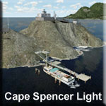
 Click to Enlarge
 Click to Enlarge
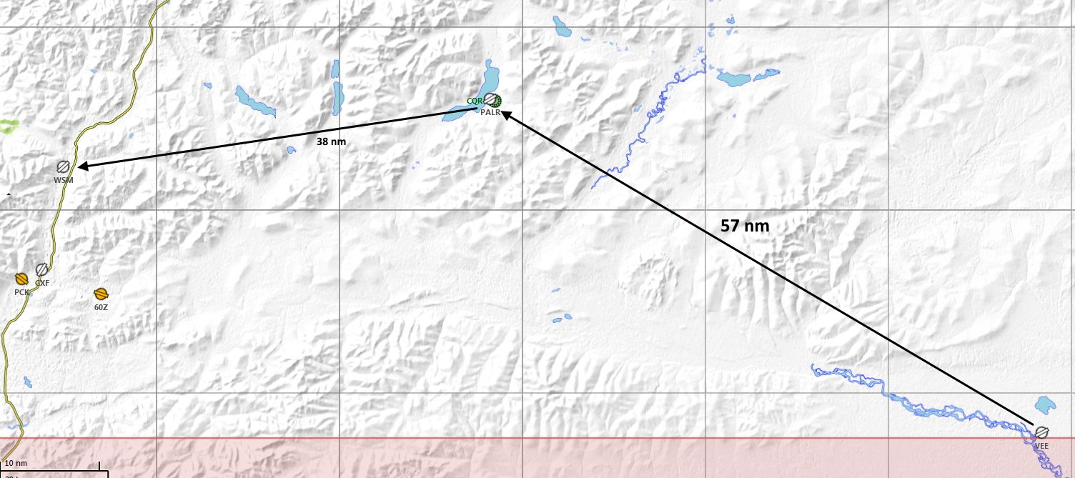
 Click to Enlarge
  Click to Enlarge
 | D | ||||||||||||||||
|
Dan's Hideaway (Refreshed V2.0-07.05.2019) Scenery created by Brad Allen - Story by Kim Gowney and Brad Allen Start: N55 9.0302 ... W132 21.0400 ... Mag: 146 ... Water ... WP: R121A Dan's Hideaway is beautiful, remote and solitary location tucked away in a cove at the very southern tip of the south arm of the Cholmondeley Sound (pronounced 'Chumley') in the center of the Prince of Wales Island. The centerpiece of Dan's Hideaway is the appealing, well-equipped log cabin that sits just onshore set against the rock wall behind. It faces the wooden jetty and your plane tied to one side of it. The site has been enhanced since the scenery screenshot was taken - but don't worry, your nearest human neighbor is still over 5 miles away. What are the updates? [BTW - put a smug grin on your face if you said ''mannering"]
|
|||||||||||||||
|
Darb Lake Cabin - (Refreshed V2.0-07.05.2019) Scenery Design by Brad Allen Start: N56 33.3784 ... W126 10.5725 ... Mag: 389 ... Water ... WP: R122A At the edge of Darb Lake, grey wood smoke rises from the chimney of a lonely wooden cabin as it sits defiantly against the elements and inside, feet and hands are being warmed and clothes drying from the heat of the log fire that makes it. The scenery also includes a wooden jetty for your plane [or boat], a canoe and some timber structures. Predominant is the look-out tower to the right. During your flight* you'll be following Takla Lane up to Driftwood Depot**, then the west side of Sustat Provincial Park that is about 15nm to the SW, so relax and enjoy the views. If you think Brad exaggerates about the weather of 'the Last Frontier', then check out some episodes of 'Wild Alaska' or 'Off The Grid' on YouTube and see what he eloquently describes for yourself. WX Notam: Lake is frozen in April! *Flight plans are here: https://return.mistymoorings.com/here_to_there/#plans . Extract and scroll down to Driftwood Depot / Darb Lake Cabin; both start from Takla Narrows. **Driftwood Depot scenery is highly recommended and can be downloaded from the scenery entry below.
|
|||||||||||||||
|
|
Daredevil's Roost (Refreshed V2.0-07.04.2019) FSX Airport Name: "Daredevils Roost" FSX ICAO Code: "PF23" ("PAPA FOXTROT TWO THREE") Scenery & Story created by Chris Brisland Start: Use PF23 for Start No one really remembers who started it but it was probably another one of One-Eye's mad ideas - but it was definitely the morning after a rather prolonged party night at the Totem Bight clubhouse... A rather bedraggled crew of Misty Moorings residents found a dirt track that led out from the northeastern corner of the Clover Bay Settlement (that's where the Totem Bight maintenance center is located). The more daring of the residents had bought a varying array of hang and paragliders with them and were soon "off with the eagles". Their targets were either to land back on the mountaintop or in the garden in front of the clubhouse. Scenery designer Chris Brisland provides information as to where to get hang gliders and how to fly them in the install readme file. RTMM has great scenery for Totem Bight [under 'T' on the scenery page] that will definitely add to your enjoyment of this location. While you are soaring effortlessly along the ridge in your new hang glider, do keep an eye out below for One-Eye's sidekick. It appears that his driving 'skills' have got him into an unwelcome predicament - he's had a collision with another car somewhere on the dirt track. We believe Officer Murphy is on the scene trying to placate the innocent party.....
|
|||||||||||||||
|
Dean River - PF32 (Refreshed V2.0-07.20.2019) Scenery By Doug Linn, Storyline by Garry Scanlan Start: Use Go-To-Airport PF32 Dean River is a 'complex' scenery, there's much to it. For the best experience, please install and use all the resources mentioned. If you are using the RTMM flight plan and the RTMM ‘Ocean Falls’ scenery, you will start ‘parked’ by a water jetty at Ocean Falls - it would be wise to select a plane that floats. ‘Dean River’ itself is a set of 3 locations at the head of the Dean Channel and the southeastern shoreline of Kimsquit Bay. As you look around you at the start point, the reason for the presence of the cruise ship at Ocean Falls is self-evident – there’s a lot to see here: fishing vessels, floatplanes, the village, the dam / generating station and the old paper mill – all in the RTMM ‘Ocean Falls’ scenery package [under ‘O’ on the Scenery page]. Your route is over a shipping lane - keep a look out for commercial and coast guard traffic. As you enter Dean Channel airspace you are about 10nm/19km or so from Kimsquit Bay. The AP positions you nicely for the landing at the RTMM-resurrected ‘Dean River’ airstrip [PF32]. Included in the scenery that RTMM has added here is lighting at both ends of the airstrip and along the center line in low light conditions. You’ve touched down at 5:17 local time, a good ‘time’ for “Bob” to stretch his legs by exploring tiny Kimsquit Village around you as you make your way down to the Bay. Alternatively, you can land in Kimsquit Bay at ‘Dean River Airport’ [ref Google Earth]. You cannot miss this location, it is opposite the very rusty remains of a sunken logging ship. Sit in your plane and experience the shore side scenery below the Village from a short distance offshore. On the shoreline is a Brad’s Bait & BBQ, the Dean River Float Rental and Dive Shop which is near a wooden jetty [where a resplendent DHC 2 is tied up] and the Dean River Medical Center. At night, a blinking buoy runway shows the way to the Center’s emergency seaplane dock; close by is the helipad and an ambulance waits on standby to take unfortunates up the hill to the Center. NOTES
|
|||||||||||||||
|
Dean River Run - (Refreshed V2.0-07.20.2019) By Doug Linn Start: N52° 49.5426' ... W126° 58.2479' ... Mag 285.6 The Dean River Run scenery takes you on an exciting white water river run that can start from either the ‘Dean River Float Hire Shop’ in the ‘Dean River’ scenery [see entry above] or from the outfall of the Dean River into Kimsquit Bay. ORBX have done a fine job with the mountain scenery and RTMM has enhanced ORBX’s efforts by ‘river-scaping’ about 60 miles of scenery along the Dean River and the Iltasyuko River that flows out of Sigutlat Lake – the actual distance ‘as the crow flies’ from the Lake to Kimsquit Bay is about 40mi. The entire route is navigable and there are 15 falls and rapids [plus a ramp] along the way to get your heart racing. If you’re starting this trip after flying to the Dean River location, swap your plane for a boat and cruise to the mouth of the Dean River which is marked with flashing buoys and whilst the River has its hazards, if you pass between the green and red markers you will meet along the route, you should be safe. Keep on top of your speed at some of the “S” bends and heed the warning signs! There is a lot in this scenery to be aware of, please look through the ‘readme’ PDF file for descriptions and screenshots of various parts of the scenery and location, especially the rapids and falls. Maps of the main locations are also included. Click on the ‘Read Me’ and ‘Map’ buttons below. Shortly into your trip you arrive at the ‘Misty Moorings River Contest’ [by Xavier Carre for RTMM]. If you wish to give the expectant crowd gathered there an exhibition of your prowess on the water, then you’ll need Xavier’s scenery from ‘The Moorings’ page. After negotiating more rapids and falls and enjoying the views, you’ll arrive at the aptly named ‘Half Way River House and Float Rentals’. There is a floating helipad here. Skippers of larger boats may decide to charter a smaller craft for the rest of the journey because the river gets narrower from here. Where the Dean River meets the Iltasyuko River is when you’ll need to execute a sharp left turn to follow the Iltasyuko River up to Sigutlat Lake. Dean River carries on for many more miles beyond this point. As you enter the Lake, the pretty Sigutlat Village is just aft on the port side and a floating helipad is just offshore. The Village and helipad are beautifully lit at dusk and dawn. If you wish to fly directly to Sigutlat Lake and Sigutlat Village from the Dean River Airport [PF32] please refer to the ‘Trip Ticket’ which you can read/download/print by clicking on the ‘Trip Tic V2’ button below. From the Lake you can tackle the route in reverse to Kimsquit Bay. The ‘Dean River’ scenery package [see the scenery entry above] should be installed. Be sure to visit the ‘The Moorings’ page here where you can read about and download all of RTMM’s water-based adventures. In addition, there are a couple of useful utilities and some free watercraft to use. An additional recommendation for your mode of transport is to use the hovercraft in RTMM’s Cambria Icefield Research Project [CIRP] scenery package, it will enable you to travel over the ice that forms in winter and spring in the upper part of the Iltasyuko River, to visit an equally ice-bound Sigutlat Lake.
|
|||||||||||||||
|
|
Desperate Moose Lodge - (Refreshed V2.0-07.27.2019) Start Position: PF33 - Land Designed by: Xavier “Fishbone” Carré Start: Use Go To Airport - PF33 Entiako Spur, located in British Columbia, is a unique hill. As you fly over the area, you will see a barren and desolate area, with few trees. It does not look like a typical Canadian landscape, more like a desert landscape. No places for wildlife to hide and shelter and a lone moose. Some people have settled here with the intention of helping ‘nature’ come back to the area by planting trees, shrubs, flowers, sowing grass and generally making the area suitable for animals and insects. Hopefully, their efforts will pay off and wildlife will return here. Please help them by flying in like-minded souls! They have built and opened Desperate Moose Lodge [and other buildings] to welcome and accommodate the volunteers. But without roads, it is very difficult to reach the Lodge, so they have built a short and dangerous airstrip on the slope of the Spur. You’ll need to be flying ‘low and slow’ and keeping a sharp eye out to spot the airstrip – take advantage of the extra pairs of eyes you have with you! Features include night and seasonal textures plus a sound pack. A full and illustrated "README" is here.
|
|||||||||||||||
|
Devil's Arse (Refreshed V2.0-06.14.2019) Designed for FSX by Urs Burkhardt in early 2010. Conversion for FSX/P3D by Mike Broemme, March 2015 Start: N53 16.0310 ... W127 57.1244 ... Mag 243 ... Water Start: N53 15.9997 ...W127 57.2686 ... Mag 064 ... Land ... WP: R123A This secluded location is situated at the south-western end of the Gardiner Canal, a short distance north-west of the Kitlope estuary where the river runs into the fjord. This is a small outpost for hunters and fishermen who enjoy being in the wilderness and is accessible by air or water only. The site is ‘equipped’ only with the basic necessities for survival. The scenery includes two cabins, an old caravan, two sheds and an outhouse. If you arrive by floatplane, a short mooring jetty is available where you can secure your craft opposite the one already there. It seems you’ll have some company at this secluded spot. If you decide to use the short dirt strip instead, be advised that it is no easy job for a pilot. The flight plan will take you past your destination to the head of the Kitlope Anchorage and ‘loop’ you back. You will need to approach ‘low and slow’ because you have just under 300 yards [260m] within which to stop your plane. You really are flying into the devil's arse - we wish you a following wind…. The easiest way to reach Devil’s Arse is to take off from the Kowesas River Lodge [PF10] airstrip where, if you’ve installed the relevant scenery*, you’ll see and hear a pod of Orcas splashing as they feed on salmon in Chief Matthews Bay as you look to your left. Devil's Arse is about 8 miles away ‘as the crow flies’, although you’ll fly 23 miles using the flight plan. It will take about 10 minutes to reach this charming place. *The Lodge scenery is available under ‘K’ on the Scenery page.
|
|||||||||||||||
|
Dog Salmon Creek and Village (Refreshed V2.0-06.14.2019) Scenery created by Brad Allen Based on a previous design at Misty Moorings Starting Point: N55 21.3633 ... W132 30.3224 ... Mag: 47.1 ... Water ... WP: R124A Dog Salmon Creek is a small, shallow, non-navigable stream where salmon come to spawn in the fall. As its name suggests, the Creek hosts large numbers of Chum Salmon, but there are smaller numbers of Pink Salmon and Dolly Varden char as well. Also called "Dog" or "Keta" salmon, the Chum Salmon return in huge numbers from the saltwater of the ocean to this freshwater creek each year to complete their life cycle by spawning and dying where they were born. Their dead bodies release nutrients that support the habitat of the Creek for the next generation. This is a traditional fishing place for the local native tribe in the area who follow these spawning runs, competing with black bears and bald eagles to catch the salmon necessary to prepare their winter supply of smoked fish. Each year they set up a fish camp close to the water and live on-site for about a week or so until they have caught enough to last the entire winter. The smoke houses used to be relatively natural looking affairs made from cedar boughs as opposed to the type of huts that we see nowadays. During the spawning run, the men catch the salmon by hand and throw them up on the beach. The children help by gathering the fish for the women who ‘clean’ them and hang the flesh in the smoke sheds - this is called ‘putting up’. This scenery comprises two locations. In addition to the fish camp, where there is a dock for floatplane or boat visitors, be sure to also stop by the nearby village of Dog Salmon, just north of the creek. There's another dock here to pull up to. Using ‘Bob’, you can enjoy the sights [but not the smell, sadly] at closer quarters at these two spots. You will also see Goose Bay Cabin* as you close in on your destination. If you have Dieter’s POIs installed in ‘Plan G’ you will notice several other locations to the west and south that are well worth checking out if you wish to extend your flight. *This scenery is available under ‘G’ on the Scenery page.
|
|||||||||||||||
|
Dora Bay Log Transfer (Facility) (Updated V2.0-06.14.2019) By Doug Linn Start Position: N55 13.6100 ... W132 14.4682 ... Mag: 038 - Water - WP: R125A The Dora Bay Log Transfer Facility is one of the larger RTMM sceneries and shows the users the kind of scale on which logging used to occur. There were many ‘camps’ much bigger than this at the peak of the logging operations. Some of these were ‘floating camps’ built on the water and not dry land as shown in this scenery, primarily because the bays and coves were not deep enough to accommodate the huge log barges. To move the logs [basically a tree with its branches and bark removed] from where the tree felling takes place, they are "rafted", meaning that they tied/lashed together, on the water, at "rafting stations". These log rafts, comprising hundreds and sometimes thousands of logs of all different types of wood, are then tied to each other and towed to either a chip/saw operation or to a log transfer station that disassembles the rafts and loads the bundles of separated logs into ocean-going barges. In this scenery package you will see the ‘rafted’ logs that have been towed to the facility and awaiting being moved to the loading facility - a floating barge operation. There are empty barges and a group of loaded barges being pushed away from the site. Also shown are the boats used by the local loggers to travel to work and to move the logs and rafts plus the mobile and fixed cranes that transfer the logs from the water onto the barges. The barracks-style housing for the workers ‘living’ at the facility are portrayed as well. The station itself is set up to also handle the maintenance aspect of the logging industry plant in the area and stores plenty of fuel, oil, gravel, spare parts, tools, additional plant, etc. Workers can enjoy a modest recreation area where they can jump into a fishing boat or canoe; they also sell some beer and bait from a log cabin. If you didn’t know, all timber cut in the National Forest in Alaska must be processed in Alaska. This provides employment and supports the local economy. But there is a downside. In Dora Bay, the shrimp population was totally [yes, 100%] killed off by the logging operations, resulting in an absence of whales passing through Cholmondeley Sound because there was nothing to eat. Landslides occur due to deforestation and local residents and other owners of property in logging operation areas protest the adverse consequences large scale logging brings. In this respect, Alaska is no different to the rest of the world. Cut down on your paper usage, people!
|
|||||||||||||||
|
Doug's Outfitters (and Lodging) (Updated V2.1-08.08.2019) Also Scenery for: Sparkling River Run Also Scenery for: Ecstall River Run By Doug Linn and Xavier Carre' Base Start: N53 53.9028 ... W129 37.3070 ... Mag: 100.2 ... Water ... WP: R126A Lake's End: N53 52.8874 ... W129 43.9049 ... Mag: 260.3 ... Water ... WP: R129A River's End: N53 57.4597 ... W129 17.4000 ... Mag: 137.9 ... Water ... WP: R130A There are 3 sceneries in this flying and boating package: 1. Doug's Outfitters and Lodging complex is located about a mile north of the peninsula formed by the Ecstall River and Sparkling Creek. You will need to be flying a floatplane. As you will deduce from the name, there is a lodge and an outfitters shop here where you can spend a dollar or two on items in preparation for two float trips, perhaps a waterproof jacket and life vest? If you tell them Doug or Xavier sent you, a discount might be given….Doug’s Outfitters is centrally located as the start point for the two beautiful river runs described below. 2. Sparkling Creek Run. Fly west from Doug’s Outfitters to the Lake's End Float facility [PF29] where there's an airstrip, helipad and dock. Look out for the wildlife grazing there. From there ‘select’ a SMALL watercraft and follow the river back to ‘Doug’s’. 3. Ecstall River Run - (River's End Float Facility). Fly north east from Doug’s Outfitters' to the River's End Float Facility. There is a floating helipad, but be careful landing ... you will only get one chance to land safely. The water landing zone is VERY short, be LOW and SLOW to land there successfully. Once there, ‘select’ a watercraft for the 20 mile trip back to the lodge. Click the ‘Read Me’ button below for an illustrated installation and guidance document.
|
|||||||||||||||
|
Downdraft Lake Cabin (Refreshed V2.0-06.14.2019) Scenery and story created by Brad Allen Start: N55 12.1563 ... W131 47.3445 ... Mag: 103.8 ... Water ... WP: R127A Downdraft Lake Cabin is an isolated shelter used by hunters, fur trappers and hikers. The Lake is on Gravina Island and is situated between two peaks. This makes it a difficult place at which to touch down with very little margin for error if the approach isn't just right. To complicate matters further, there are several small islands in the Lake which make it a very tough for the pilot when trying to maneuver their floatplane. You will have to familiarize yourself with the location and pinpoint the only safe landing area before attempting a landing. Be prepared for the downdrafts. It's why this lake bears that name and they can be very unpredictable and dangerous. There is not much here but a lonely cabin on the lake shore. How much longer it remains this way is anyone’s guess. Being close to Ketchikan, Gravina Island is popular with day-trippers and a road is planned from Ketchikan that will encourage many more sightseers to visit the Island. If you use the flight plan*, you will fly from Misty’s Place [PF20]** and pass the shipwrecks and dilapidated buildings that comprise Misty’s Old Yacht Club** to your left as you make your way to the Cabin. *Flight plans available here: https://return.mistymoorings.com/here_to_there/#plans. Extract and scroll down to Downdraft Lake Cabin. ** These scenery packages can be downloaded from the Scenery page under ‘M’.
|
|||||||||||||||
|
Driftwood Depot (Refreshed 04.11.2020) Scenery and Storyline compiled by Brad Allen Start: N55 48.8886 ... W126 24.6493 ... Mag: 188 ... Land ... WP: R128A Driftwood Depot was founded in 1860 and is situated in the Omineca region of the Northern Interior of the province. It used to be a busy little mining depot and was a major supply center during the Omineca Gold Rush in British Columbia, Canada. Gold was first discovered there in 1861 but the rush didn't begin until late in 1869 with the discovery at Vital Creek. Prospecting continued with some success until 1873 but by then the rush was mostly over, even though there were still some claims that were doing well. Lost Creek was still yielding gold at the rate of 90 to 200 ounces a week. By the fall of that year, the news of the strike in the Cassiar district had reached the Omineca and many men left for these new, "greener pastures". The flight plan* starts you at Takla Narrows Airport [CBD5] near the shore of Takla Lake where there is a small mooring at Takla Narrows Waterdome. A helipad, the airstrip and several buildings are just inland. The grass airstrip, which runs parallel to the old rail track only a few yards away, is maintained by several local pilots who use the location as a source of income. You’ll fly north above Takla Lake. If you’re using ‘Plan G’ and Dieter’s POIs you’ll see the site of the old Takla Lake Sawmill marked about 15 mi [24km] from your destination; from here a road leads to some buildings on the shore of the Lake – you’ll need to be around 3400ft to see them. The scenery at the Depot is excellent, so don’t fly over. After you land, cut your engine and listen to the creaking timbers and steel of the ‘ghost town’ right by the disused rail track which creates an eerie atmosphere. This is enhanced further by the nearby…well, you’ll need to go there to find out what that is. Beware of the Bald Eagle! The ‘trip tic’, which is full of interesting information, extends this flight by taking you to Darb Lake Cabin** - about a further 50 mi [80km] north east. *Flight plans are here: https://return.mistymoorings.com/here_to_there/#plans . Extract and scroll down to Driftwood Depot / Darb Lake Cabin; both start from Takla Narrows. **Darb Lake Cabin scenery can be downloaded from the scenery entry above. WX Notam: Lake is frozen in April!
|
|||||||||||||||
| Back to Top | ||||||||||||||||
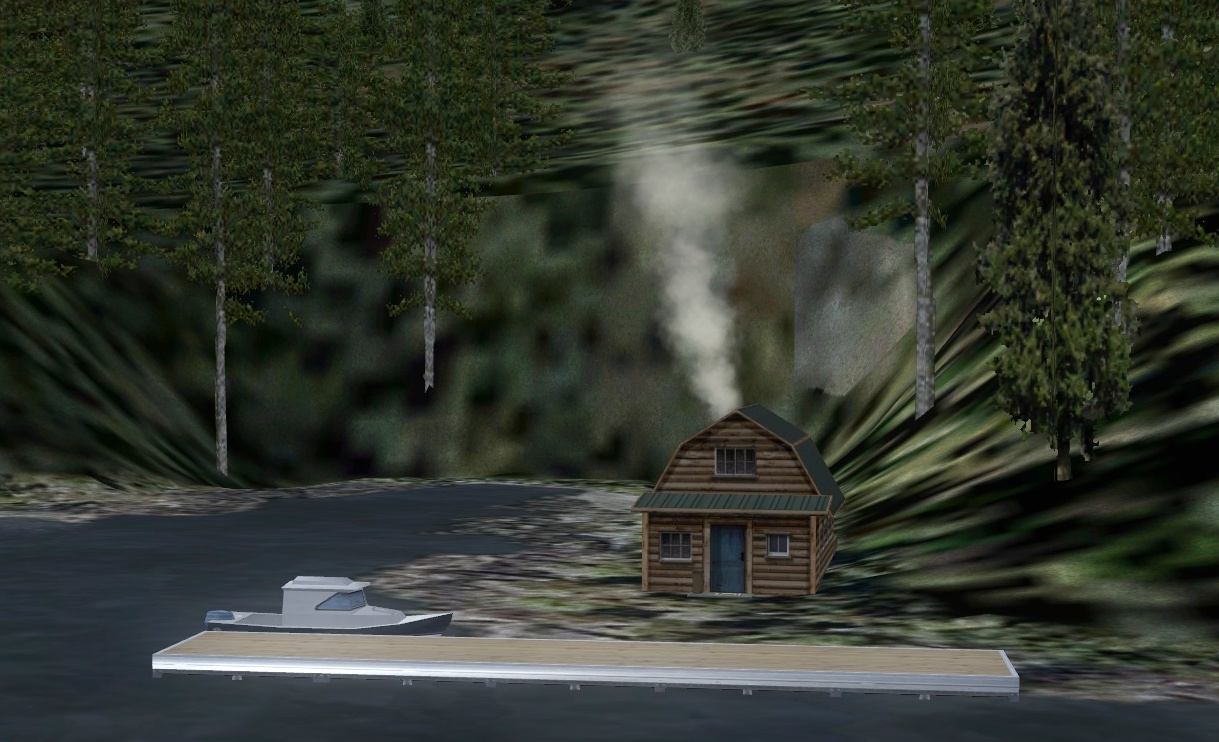 Click to Enlarge
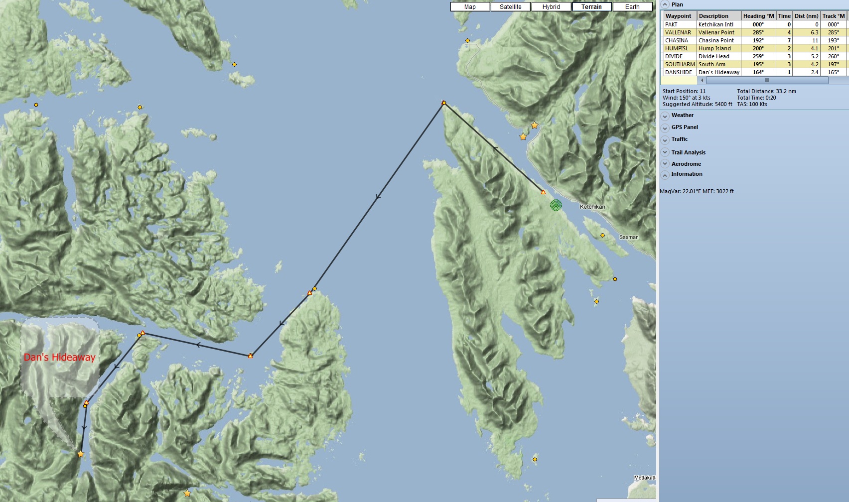

 Click to Enlarge
 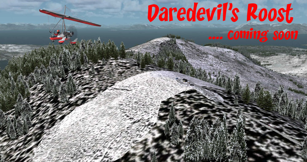 Click to Enlarge
 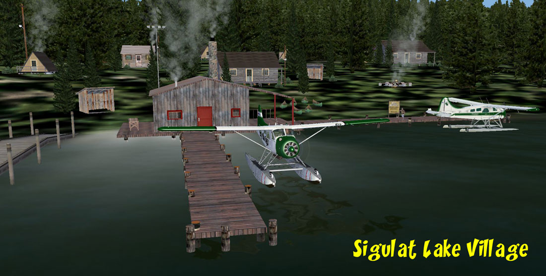 Click to Enlarge
 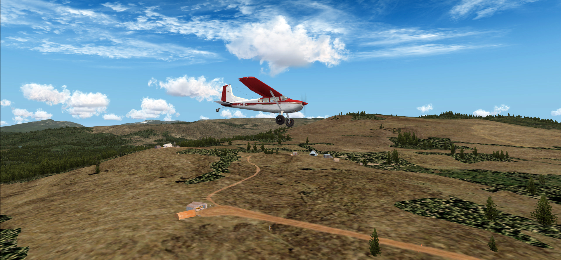 Click to Enlarge
 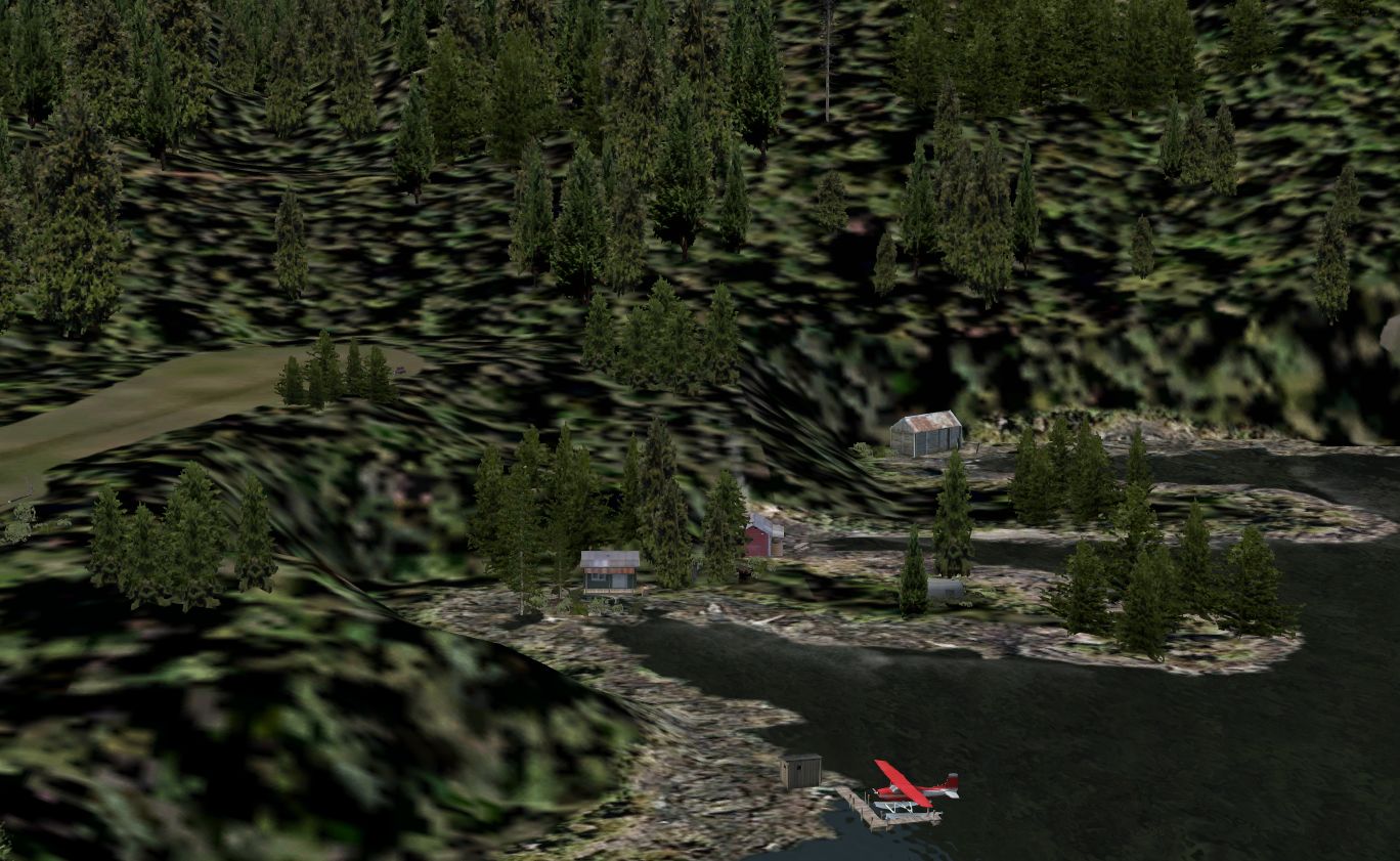 Click to Enlarge
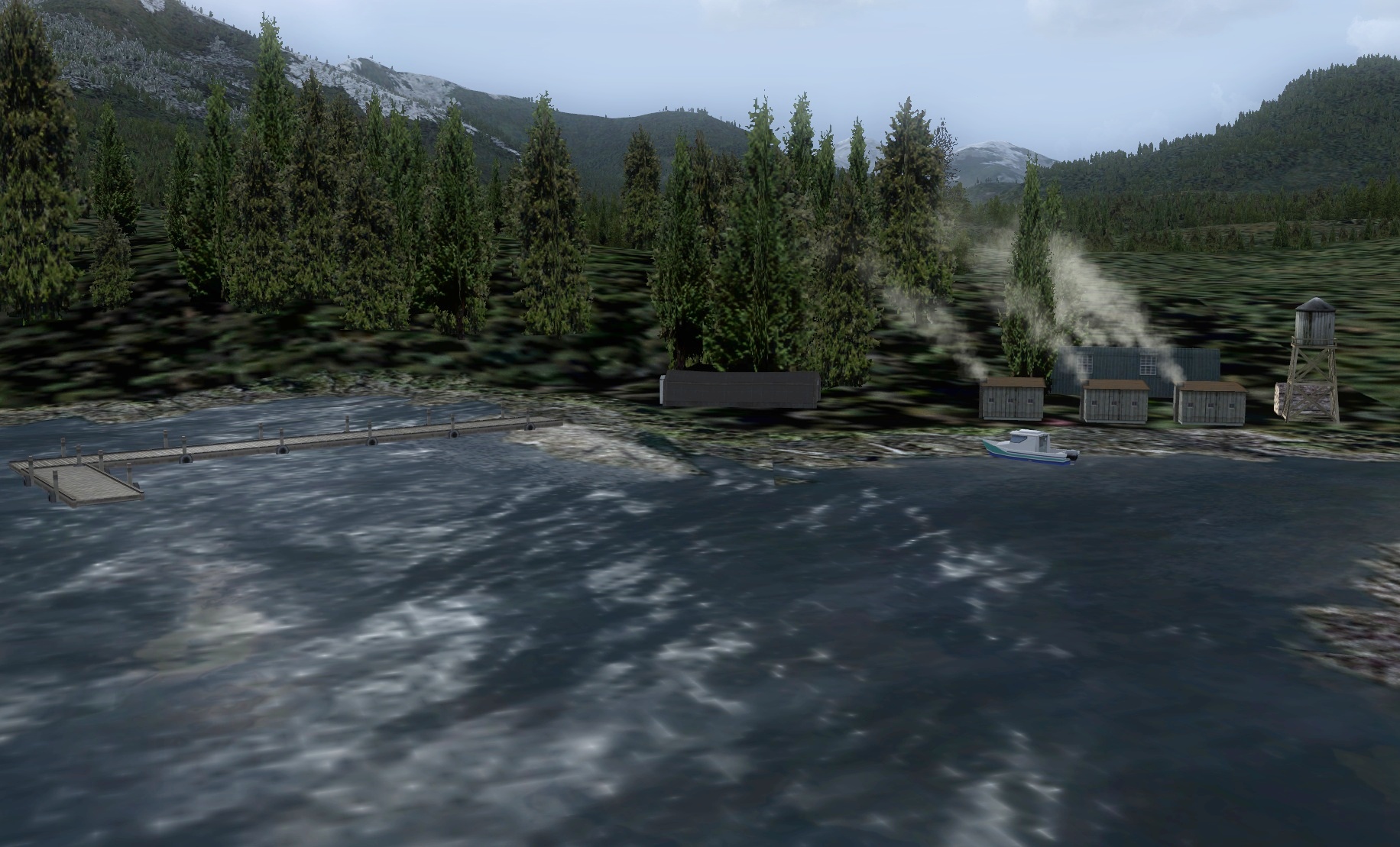 Click to Enlarge
 Click to Enlarge
 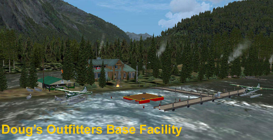 Click to Enlarge
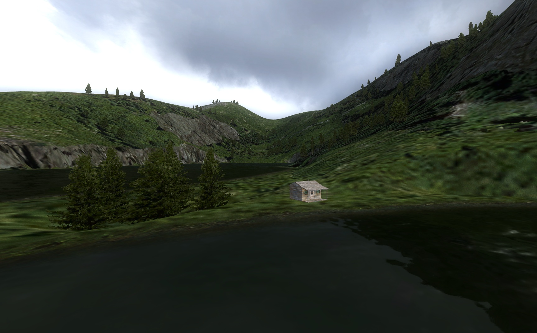
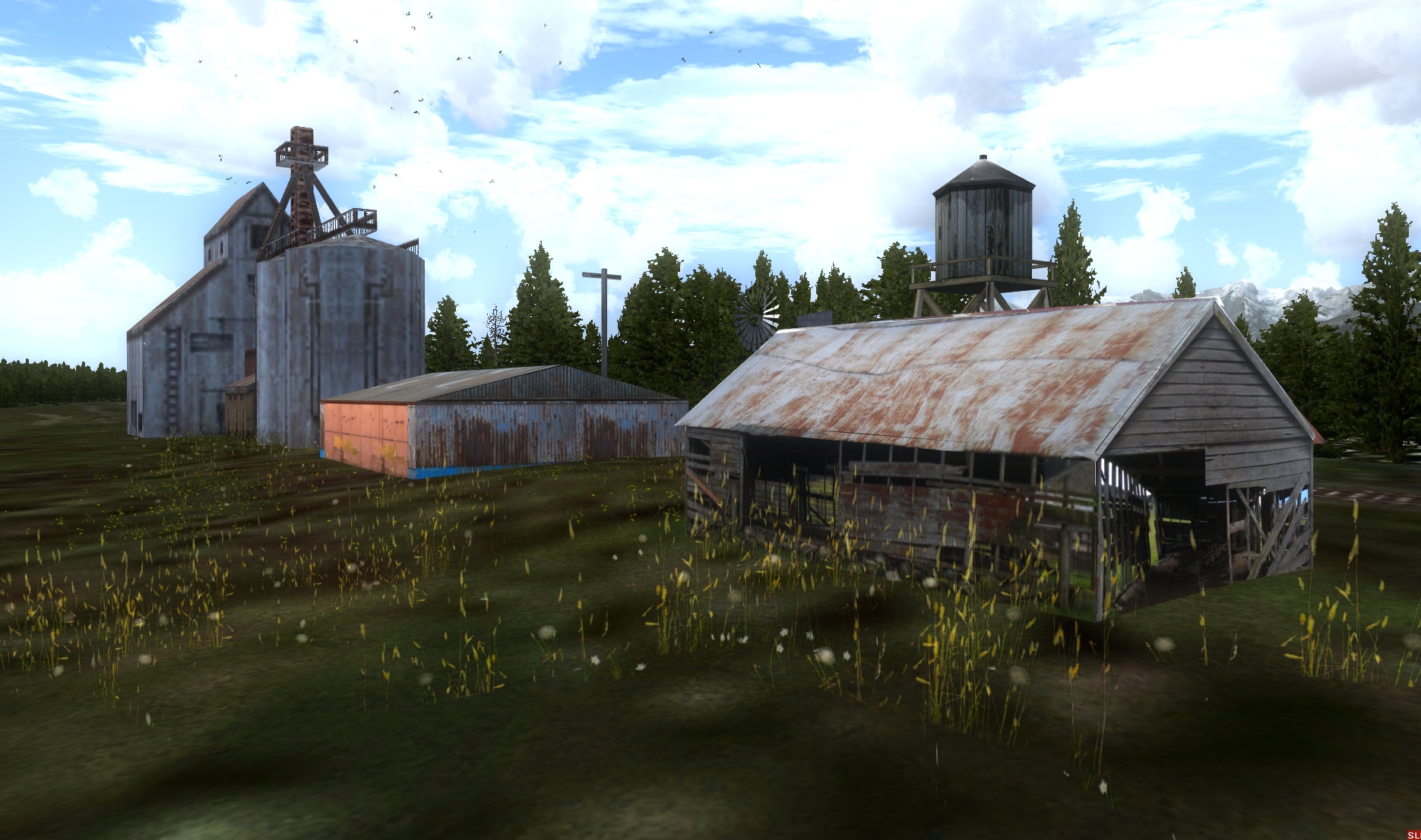 Click to Enlarge
 | E | ||||||||||||||||
|
Eagle Lake Cabin (Refreshed V2.0-06.15.2019) Scenery and story created by Brad Allen Cabin Start: N56 2.2832 ... W131 27.4847 ... Mag: 158.3 ... Water ... R131A USFS Cabin Start: N56 3.4514 ... W131 28.0692 ... Mag: 348.4 ... Water ... R132A Located about 40 miles north of Ketchikan on Eagle Lake, this little cabin is a great place to spend a week in the beautiful wild of the Tongass National Forest. It has a great dock for fishing or for tying up your boat or floatplane. You can rent a Jeep for exploring the land around you or a SnowCat in the winter to help you get around in heavy snowfall. Eagle Lake is full of Dolly Varden and Rainbow Trout. The fishing here is fantastic. The silty-green color of Eagle lake and its brilliant blue twin, Reflection Lake, show a contrast best seen from one of the high ridges within hiking distance of the cabin. The colors are different because Reflection Lake is fed by a nearby glacier while Eagle Lake is fed by the Eagle River, rain and snowmelt run-off. You can reach each of the lakes by an easy hiking trail and a short climb up the ridges past the trail’s end will reach the overlook. This hike is easily done in a day, but Eagle Lake cabin also makes a good base for exploring more distant reaches of the park. Not far away, you will find a USFS cabin that can be rented from the US Forest service.
|
|||||||||||||||
|
Egg Harbor Fish Camp (Refreshed V2.0-02.17.2020) Scenery/Story by Brad Allen, AI Boating and shipping traffic by Dexter Thomas Start: N55 54.2476 ... W134 18.7938 ... Mag: 041.6 ... Water ... R133A There is a newly opened small fish camp located in this protected harbor. The camp has a lot of business due to its location at the edge of the deeper waters just offshore and its place inside a protected cove. Strong prevailing winds from the open ocean and a steep, ragged coastline make the windward side of the island virtually inaccessible. On the leeward side you'll find some protected coves and beaches guarded by rocky shoals that make all approaches risky. Access is generally via floatplane or boat, and there are not many developed trails or other facilities on the island. Wilderness camping is unrestricted, but you may want to bring along your own firewood, as there is a constant canopy of foggy skies and the wood here rarely dries out. Obviously, fishing and hunting are allowed. Coronation Island used to receive very few human visitors but the fish camp has sure changed things around here. Some people would say it's not a positive thing to see out here. The island has the Pacific Ocean to its south and southwest. The Island has seven high peaks: Needle Peak, Aats Peak, Pin Peak, and four other peaks that are not named. The Island has five bays: Egg Harbor, Alikula Bay, Aats Bay, Gish Bay, and Windy Bay. The island is surrounded by rocky areas, a few sandy areas, and a handful of coral reefs. The island is made largely of limestone. Common animals found on Coronation Island would include black bears, black-tailed deer, bald eagles, wolves, sea otters, Steller's sea lions, harbor seals, and humpback whales. Fish and shellfish that inhabit the water around the island include: salmon, halibut, Pacific cod, a variety of rock fish, dungeness crab, king crab, shrimp, prawns, scallops, abalone, clams, and jellyfish. There have also been reported sightings and catchings of great white sharks that have traveled up on warm currents. The island Flora has Sitka spruce and western hemlock. The rest of the island vegetation is lush and varied. The ocean around the island ranges in temperature from 51F to 55F. The Henyakwan Tlingit traditionally used Coronation Island, and would often camp in Egg Harbor while awaiting fair weather to travel out to the Hazy Islands, where they would gather bird eggs. A lead mine operated on the west shore of Egg Harbor from the early 1900s until the late 1960s.
|
|||||||||||||||
 Click to Enlarge Click to Enlarge
|
Elkin Creek Guest Ranch (Refreshed V2.0-06.15.2019) by Doug Linn Land Start: N51 30.7060 ... W123 48.3004 ... Mag: 086 ... WP: R134A Water Start: N51 31.2393 ... W123 48.4588 ... Mag: 150 Helo Start: N51 30.7722 ... W123 48.3120 ... Mag: any Elkin Creek Guest Ranch is only 3.2 nm from Twin Lakes Airstrip (CAG4) so the best way to find it is fly to CAG4 and fly south for 3 miles. The airstrip is lighted for night and low light flying. There is a float plane dock, but no amphibian pull out. Fuel is not available at this site. The location consists of a lodge and 6 cabins. The activities include horse back riding, kayaking, hiking trails and water sports at the lake.
|
|||||||||||||||
|
Elliot Fire Base at Bowser Lake (Refreshed V2.1-06.15.2019) Elliot Fire Base is a short flight from Stewart (CZST) and is situated at the Bowser Lake airstrip. Each day during the time of year when fires are most likely to be a threat, generally April to September, this airstrip comes alive because all firefighting efforts in the region are coordinated from here, hence the radio mast in the scenery. There are two helicopters and pilots based here that are on call during the day to coordinate fire watch alerts. Two forestry service spotters are also here on call and all four share the nearby lakeshore cabin. The cabin is close enough that the crew can reach the airstrip in minutes when a fire is reported. A small supply depot is located at the airstrip enabling equipment and gear to be reached quickly when needed. Inside the hangar or on the Lake in real life could be a modified version of a ‘Lake Renegade’ amphibious aircraft [in the scenery a Piper Cub is shown in the hanger]. The Renegade’s firefighting modifications enable it to skim across a lake surface and pull in water to help with fire suppressant and containment activities. Local firefighting crews that need to be flown into landing zones that are hard to reach are first flown by small plane to the airstrip where they transfer into ‘choppers’ to be flown out to battle the fires. Each morning, one of the spotters is flown up to the fire lookout tower – there are 127 in the region - on a nearby mountaintop. These hardy individuals spend the day sitting alone high above in the tower, looking for the telltale smoke of any fires and taking weather readings. The pilots also ferry supplies to and from this outpost and to any forest fire crews in the area that need them. Many towers do not have running water or electricity, but in the scenery ours has the luxury of a generator and a tent for shelter in case the lookout cannot be flown down due to the weather. A helicopter sits on the helipad patiently awaiting the call to action – which of course we hope, never comes.
Note: This scenery contains four scenery locations, all of which are close to Bowser Lake:
There are two helicopter landing areas:
|
|||||||||||||||
|
Endako Mine By Brad Allen ...(Refreshed 02.17.2020) Start: N54 2.0770 - W125 8.0803 - Mag: 38 ... Land ... WP: R135A The Endako Mine is an open pit mine located near Fraser Lake, 100 miles northwest of Prince George, BC, and is a fully integrated facility that began operations in 1965. It extracts and processes molybdenum which has the third highest melting point of all minerals, pure and man-made. Molybdenum is also essential at the micro level for human and plant life. There are two stunning and ‘must have’ scenery locations in this sprawling package by Brad Allen that certainly has the ‘wow’ factor! As you begin the last leg of the flight plan* over East Denak pit, you will see, spread over many square miles, animated cranes and spinning wind turbines that generate electricity for the mine, several remote excavation sites with plant and piles of rocks plus processing plants. At the airstrip location, West Denak pit, you will see more of the same with more animation. The long term plan is to merge the two into a ‘super pit’. Brad will have his work cut out designing that when and if that happens! The price of the commodity must be high at the moment, given the amount of activity. Knock off the autopilot and circle overhead at these two location to appreciate what Brad has done here. A tour de force indeed! Well, what are you waiting for? Download and get aloft in your amphibian [the flight plan starts you on water] to see this scenery before the price weakens and the mine is placed on ‘care and maintenance’. *Flight plans are here: https://return.mistymoorings.com/here_to_there/#plans’. Extract and scroll down to Endako Mine.
|
|||||||||||||||
| Back to Top | ||||||||||||||||
 Click to Enlarge
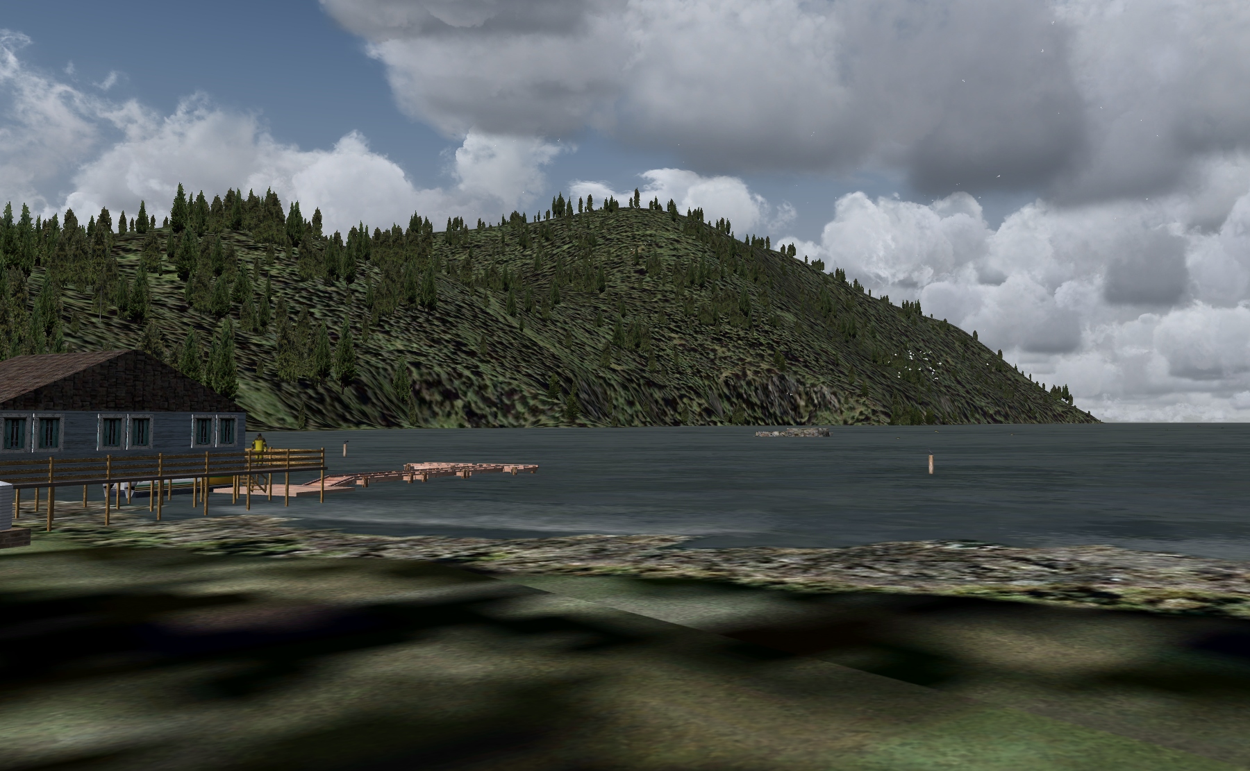 Click to Enlarge
  Click to Enlarge
| F | ||||||||||||||||
|
Fairbanks AI Floats - by Dex Thomas (Added 07.19.2020) Start Land: "GoTo PAFA" Fairbanks Int'l Airport ... WP: PAFA Start Water/Ice: "GoTo" FAI - Fairbanks Int'l Seaplane Base ... WP: FAI Fairbanks Int'l Airport has a very unique water runway built into the complex (click on the image to the left to see it). With RTMM's BWEP scenery series, we utilized this area to add a BWEP complex by adding to the Fairbanks International airport scenery. There is a pullout there and a maintenance complex for BWEP aircraft. Dex has added a season switcher to this one so different things are happening with the Ai Aircraft during the different seasons. If you have BWEP, or only Fairbanks Int'l Airport, you will find this an interesting addition. NOTAM: the 07.13.2020 update gives you the opportunity to use this scenery set with Prepar3D V5. There is a way to turn this feature on and off in the folder. See the "Readme" in the download. NOTAM: Updated to be able to handle FAIRBANKS PROFESSIONAL from SimWings
|
|||||||||||||||
|
Fairfax Lake Campsite (Refreshed V2.1-06.15.2019) Lake Campsite is a scenic destination on Moresby Island and a challenging landing awaits you there because the Lake is surrounded by mountains, the highest on the Island being the San Christoval Mountains, all over 3300ft/1000m. The vegetation changes with altitude and some of it has evolved differently from the same type on the mainland of British Columbia, becoming a subspecies. This group of 138 islands was known as ‘The Queen Charlotte Islands’ until 2010 when it was renamed as ‘Haida Gwaii’ when the indigenous Haida peoples regained their sovereignty. As for wildlife, it is abundant: deer, bears, moose and even wolves have been spotted. Birds of prey, chiefly Bald Eagles, can be seen hunting in their hundreds. Not for nothing is the area nicknamed ‘Canada’s Galapagos’. Be sure to keep an eye out for the old abandoned copper mine at Tasu Inlet and the once thriving Tasu village. The flight plan starts you at Sandspit, one of several airports on this archipelago and takes you through 40mi/65km of very beautiful landscape. Your destination is a hard to reach campsite comprising two sturdy canvas tents on the south shore of Fairfax Lake. There is no dock to moor up to here, just the shoreline of the lake, so you better remember to bring your waders. The trout fishing here is excellent. If you’re using Plan G and Dieter’s POIs you will see other locations shown on Haida Gwaii: to the north is the aptly named Prayer Lake Cabin plus Moresby Camp where you can check on the progress of the construction work, Mt Matlock Cabin, Yakhoun Lake Cabin and Masset Inlet Cabin. These sceneries can be downloaded from the Scenery page under ‘M’, ‘P’ and ‘Y’. To the south on Anthony Island is the ancient village of Ninstints, one of 7 World heritage Sites found here. In real life, one can see a display of standing Haida mortuary poles, ‘in situ’, which once contained the dead bodies of Haida Chiefs and is considered the best in the world. It would be a shame if you fly to here and don’t check out these locations. The TripTic contains flight directions and more information about these fascinating islands.
|
|||||||||||||||
 |
FedEx Terminals - SINGLE DOWNLOAD (for ALL 9 terminal locations) (Refreshed 11.25.2019) Starting Positions: Use "Go-To-Airport" for these: WP: ICAO Code
Previously, we have 9 separate FedEx Terminals. We have combined them so you can download all of them at once in a single package. NOTAM: If you have downloaded any of these previously and want to add the full package, delete (deactivate) those already in your scenery library before installing this combined package. This combined packages has updated files. NOTAM: PAKT PAYWARE Update: If you have the PAKT PAYWARE, then you will want to update your folder based on this NEW zip as of 05.14.2019.
|
|||||||||||||||
|
Fillmore Cove - (Refreshed (06.01.2020) Start: MMFC: N54 55.26 ... W130 28.6 ... Water ... WP: R137A Fillmore Cove is located a few miles on the Alaska side of the Canada/USA border and features 4 water runways: 1/19 & 2/20. It is an excellent fly-in starting point and hub for several inland wilderness camps because of its location and that fuel is available. There are three RTMM flightplans to the Cove and these can be found in the RTMM Flightplans resource here: "https://return.mistymoorings.com/here_to_there/#plans" [scroll down to 'Fillmore']. The surrounding lakes, streams and rivers deliver a very productive fishing experience to anglers and, when in season, there is fantastic hunting to be had for moose, deer and elk. This scenery package shows the Cove as it was in 2013 and includes the fuel barge, fuel tanks, fuel pumps the main wharf, the 'new' ops center and the listing bunkhouse. A trip down memory lane...…..??
|
||||||||||||||||
|
Fleet Bay Parts Dock (Refreshed 01.06.2020) Scenery & Story created by Brad Allen, Sounds by Dex Thomas Start: N54 41.8904 ... W132 1.3531 ... Mag 348 ... Water ... WP: R138A Landing Surface: Water, does not freeze in winter. The Fleet Bay Parts Dock is a supply point for the fishing fleet that is based near Ketchikan. This facility is just West of the Southern tip of Prince of Wales Island in a small, sheltered cove. There are numerous fishing vessels nearby so watch out when attempting to put your seaplane down here. Also keep an eye out for the extra "living" enhancements that took a lot of time to get right. There are several pods of dolphins that are in the area. One pod travels along the main channel away from the parts dock and another small pod are playing near the entrance to the area. There are also flocks of birds that land briefly on a small island next to the channel. They only stay for a short time before all of them take off at once to circle around again.
|
|||||||||||||||
 Click to Enlarge Click to Enlarge
|
Flying Beaver Lodge (Refreshed 07.11.2020) (A BWEP Dalton Highway Outlier) By Doug Linn and Thomas Menzel Lodge Ramp Start: N66 21.63 - W147 24.67 – Mag: 129 - WP: R139A Lodge Dock Start: N66 21.55 - W147 24.61 – Mag: 347 - WP: R140A NOTAM: P3D-V5 alters the terrain and you must use the "V5" version of Flying Beaver. If you are NOT using V5 (NonV5), then you use the "NonV5" version. This is a fictitious lodge placed at the WBQ (Beaver) airport. This is a “fly-in” facility This is an "Outlier" location for BWEP's Dalton Highway pipeline segment. You do not need the pipeline to view it. P3D-NonV5 (default) Version
P3D-V5 Version
|
|||||||||||||||
|
Forrester Island Research Outpost (Refreshed V2.1-02.10.2020) Scenery and Story created by Brad Allen, Sound by Dex Thomas Start: N54 49.0600 ... W133 30.9195 ... Mag: 157.3 ... Water ... WP: R141A An isolated group of islands about 10mi/16km east of Dall Island comprising mainly of Forrester, Lowrie and Petrel Islands, supports the largest seabird colony in the eastern Gulf of Alaska. These islands rise steeply to just under 1300ft/396m from the ocean on the western edge of southeast Alaska's island archipelago. The terrain is very rugged and densely forested, with an abundance of blow-downs and nearly impenetrable undergrowth – ideal habitat for burrow-nesting seabirds. These islands have been under federal protection since 1912 and their inhabitants have no known non-native predators. 135 bird species have been spotted on these islands. More than one million seabirds are estimated to nest on Forrester Island causing it to be considered considered a place of ornithological superlatives: it is home to one of the larger colonies in Alaska of the Fork-tailed Storm-Petrel, Leach's Storm-Petrel and Cassin's Auklet as well as the largest known Ancient Murrelet colony in Alaska and has the largest Rhinoceros Auklet colony in Alaska. In addition to massive numbers of breeding seabird species, the islands also host a diverse range of other species, including shorebirds and raptors; Lowrie Island supports the largest Steller sea lion rookery in southeast Alaska. Supply runs are made by sea plane, boat and helicopters. Choppers are used heavily by the research teams to get out to the different study areas; there are multiple concentrations of bird species found all along the perimeter of the island. Be sure to take a helicopter flight yourself up to the higher part of the scenery package - the highest point on the island where the communications towers are. There is a helicopter landing pad up there and the views are excellent. But if you decide to take a flight down low, flying around the edge of the Island should give you plenty of reason for concern. Bird strikes are going to happen if you're not especially careful flying here. They like to congregate in groups at around 100 feet above the surface. If you do take a perimeter tour, you'll need to be flying just off the deck! The lower level scenery shows how exposed the cabin and small floating dock are and in poor weather they take a pounding, but the scientists actually love their time on "Forrester". Solitude, nature and the elements combine to deliver a truly unique experience. You will notice there are more birds aloft than is usual in an RTMM scenery, so it is probably a good idea to wear an easy to clean hat at all times on Forrester Island.
|
|||||||||||||||
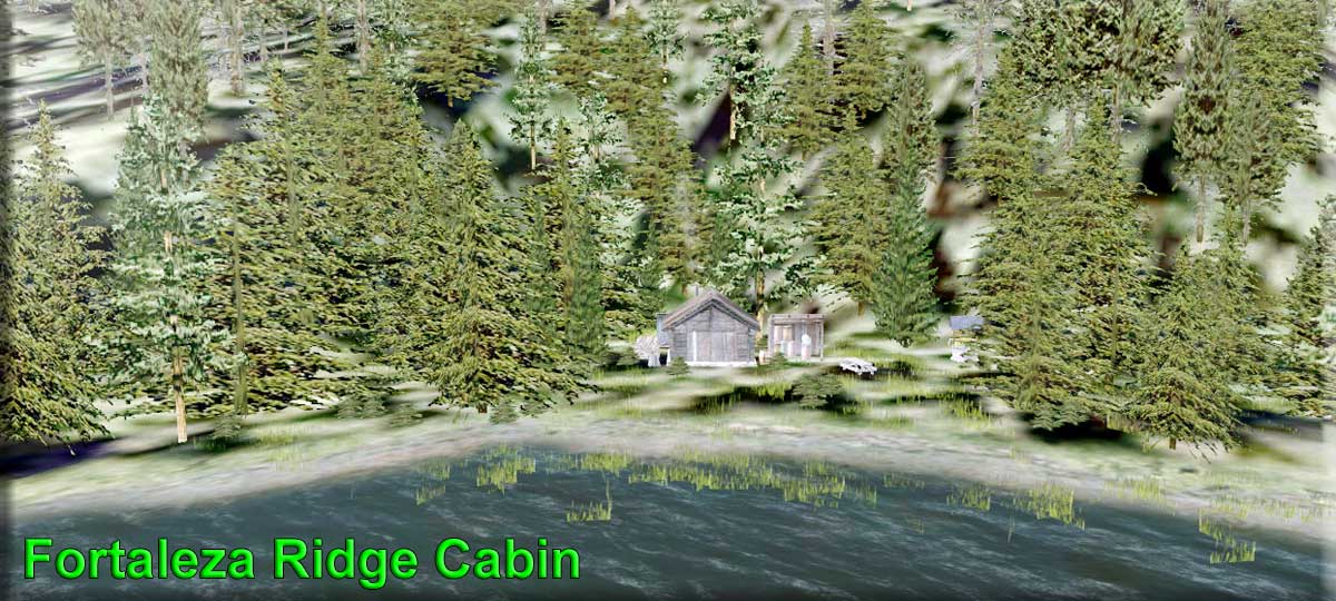 Click to Enlarge Click to Enlarge
|
Fortaleza Ridge Cabin - By Doug Linn (Refreshed V2.0-07.13.2019) Start: N55 16.9497... W133 38.4962 ... Mag: 296 ... Water ... WP: R142A You've been searching for a remote cabin on a remote lake where nobody will bother you. You found one in the local paper. The cabin is a "fixer-upper" so it will take some work, but looks like perfect location for you. The real estate agent is also a pilot and has agreed to meet you at the location. You leave from View Cove Dock and follow the flight plan you've been given. The agent is already at the cabin and has turned on the stove to take off the chill. Just park your plane and c'mon in and look around. This may be exactly what you were hoping for!
|
|||||||||||||||
|
Fountain of Ute River Run (Refreshed 04.11.2020) By Doug Linn - Associated with Xavier's Cabin by Brad Allen Fountain : N52 48.7576 ... W127 40.6370 ... Mag: 57.2 ... Water ... WP: R143A Start: Brad's BBQ Cornwall Point Together with Shangri-La, the myth of the Fountain of Youth has consistently captured the imaginations of people through the ages. It endures because we want to believe it is real - somewhere. Well, this scenery package gives RTMM adventurers from the north east of the USA [especially those from around NYC] an opportunity to discover the "Fountain of 'Ute'" ... and we give you two ways to get there - by air or by water. By Boat Our fountain is near Xavier's cabin which is situated at the headwaters of the Tezwa River. This river and the associated waterways leading to it provide an amazing float trip. You can select one of the larger vessels from your fleet for the first part of the voyage which starts at Brad's Bait & BBQ at Cornwall Point. About half way there you will arrive at the Tezwa River Boat Rental facility located on a small island in the river. This is the ideal spot to exchange your large boat for a smaller one for the run up to the cabin and Fountain [don't forget the Petrus and Abondance for Xavier]. This is a beautiful boat trip through some 60mi/97km of stunning scenery [Orbx Pacific Fjords]. All of the waterways are "marked" with red and green marker buoys to assist navigation through this beautiful part of RTMM's Alaska. There is an illustrated pdf guide to this river run included in this scenery package. By Plane There is a flightplan available that starts at Kowesas River Lodge, about 15 mi south east of Cornwall Point as the crow flies. Look down shortly after take off as you make your way over Chief Mathews Bay and you will see a pod of Orcas feeding on salmon plus dozens of scavenging gulls. Along the way you will pass 'Devil's Arse' and fly over 'Tezwa River Ranch [PF37]' For an additional challenge try a touch 'n' go on the airstrip at the Ranch. The triptic included is illustrated and describes the route in more detail. The route is 50mi/80km long and will take about 20 mins to complete.
|
||||||||||||||||
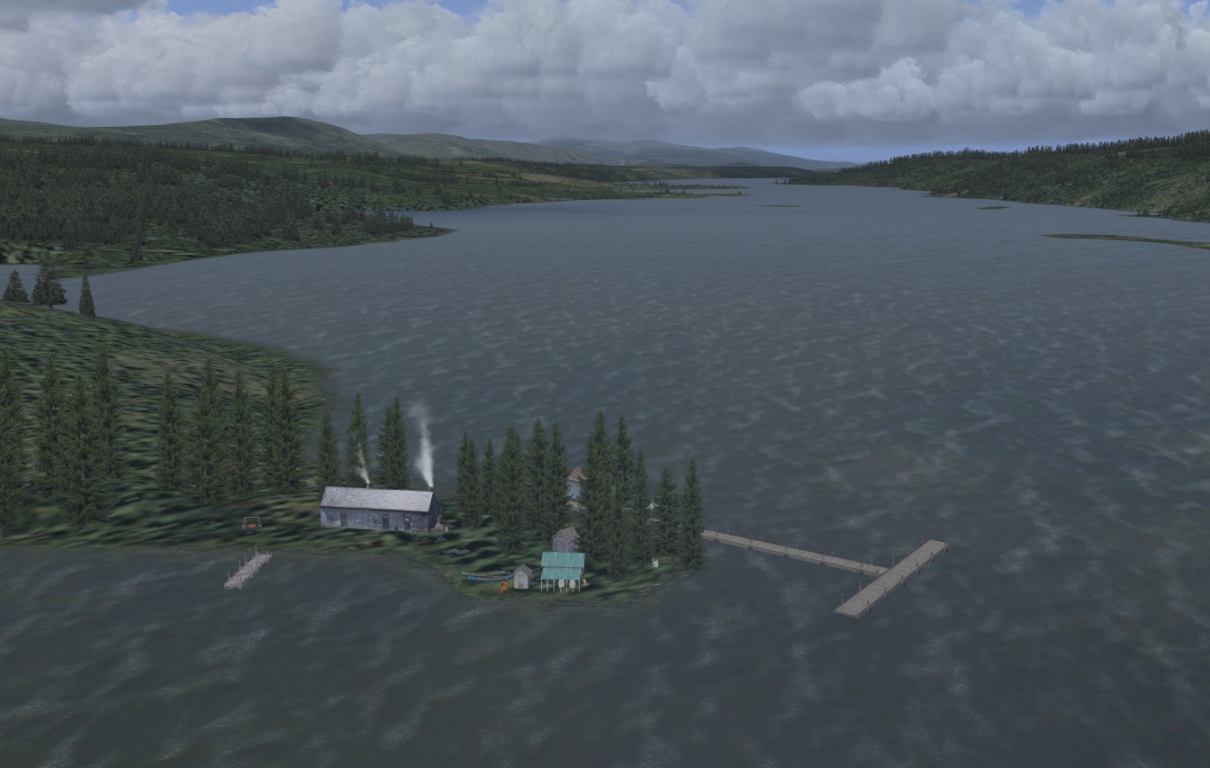 Click to Enlarge Click to Enlarge
|
Frances Lake Lodge (Refreshed 04.11.2020) Scenery and Storyline by Brad Allen Start: N61 17.4423 ... W129 27.6323 ... Mag: 317 ... Water ... WP: R144A In 1840, a Hudson’s Bay Company (HBC) expedition arrived at this location under the leadership of Robert Campbell who named the lake and the river flowing out of it after Frances, the wife of Sir George Simpson, HBC’s Governor of Rupert’s Land and the western territories from 1821 to 1860. Frances Lake is the largest lake in the southeast Yukon. It comprises twin arms [25mi/40km long] that lay either side of a tongue of land with Simpson Tower [5489ft/1673m] at its southern end where these arms are joined by a labyrinthine stretch of islets and inlets known as 'the Narrows' to form a V-shape. Its shores are fringed with creeks, rivers and glassy bays. Beyond the water’s edge, dense boreal forest separates the Lake from the distant mountains. The Lake’s fascinating topography makes it a haven for wildlife and a magnet for adventurous souls wishing to immerse themselves in the region’s remote beauty. This scenery depicts a lodge along the Frances Lake shoreline. It is inspired by a real world location but is not in any way intended to be a representation of that location. In real life you can drive the Robert Campbell Highway to the boat ramp on the western arm of the Lake. From there it is a further 12mi/20km by boat south to the Lodge. We recommend installing the RTMM 'Cabin' sceneries - more details in the package's readme file - in order to see the 3 USFS cabins that are prominent in this scenery. More interesting information about Frances Lake can be found on the Lodge owners' website, here: https://www.franceslake.ca/history.html
|
|||||||||||||||
| Back to Top | ||||||||||||||||

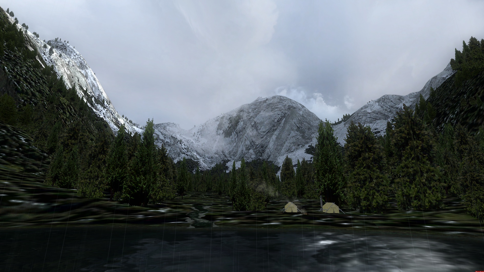 Click to Enlarge
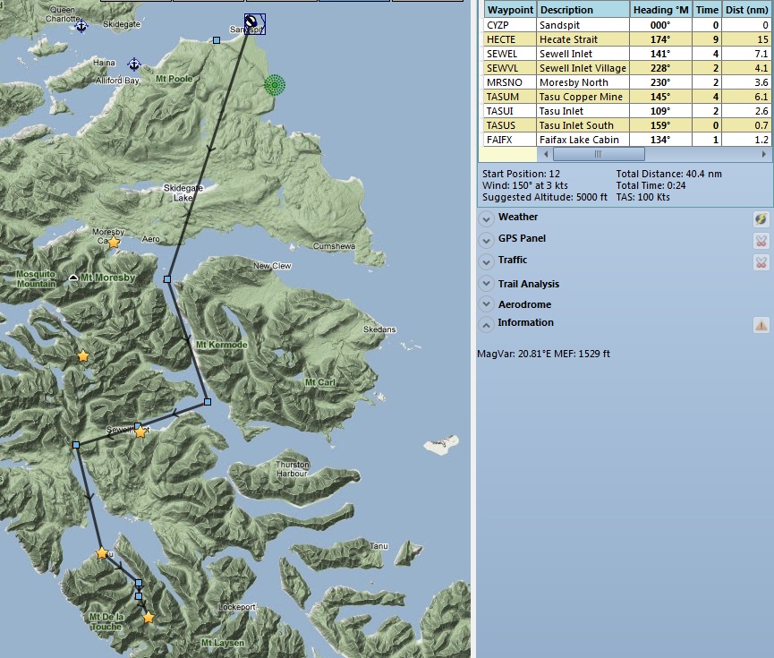
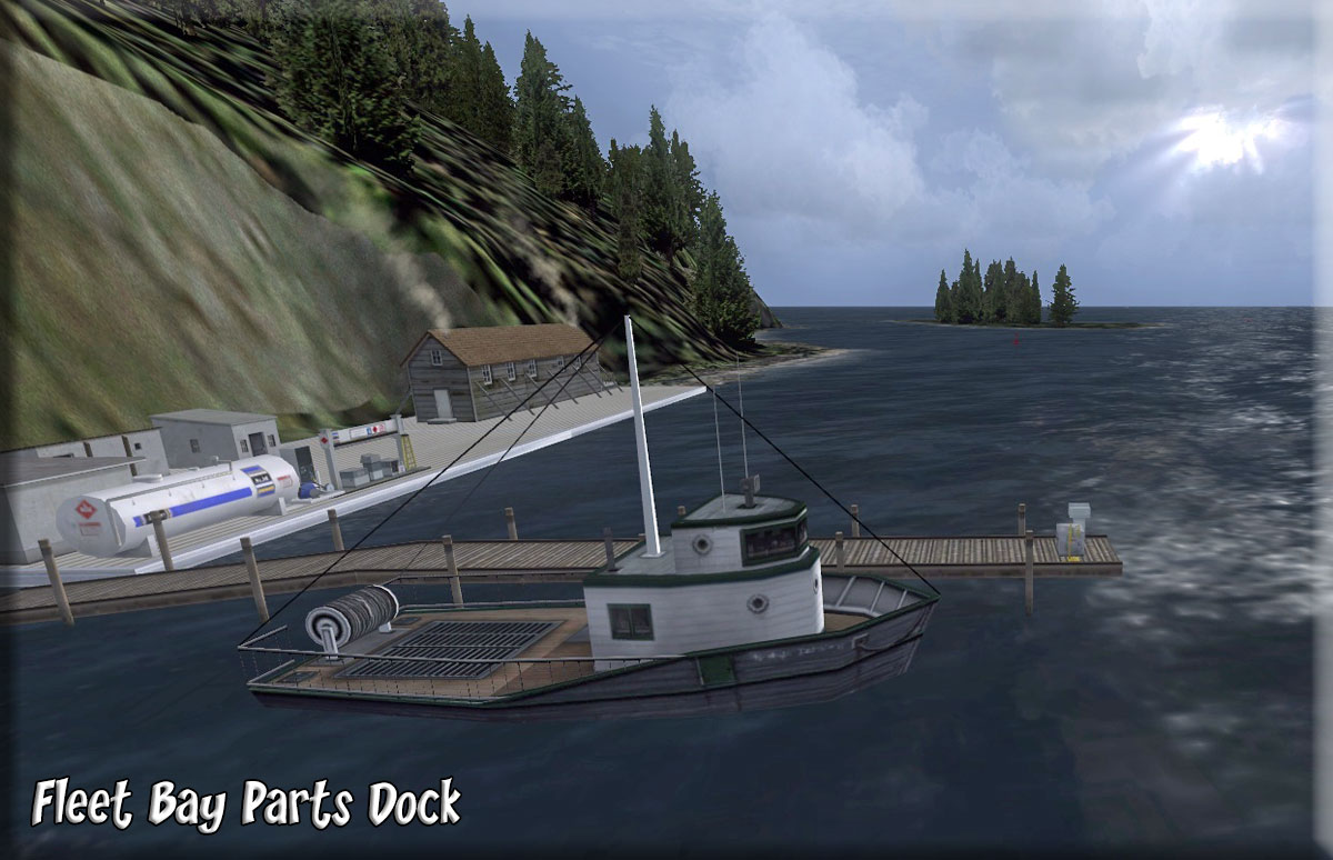 Click to Enlarge
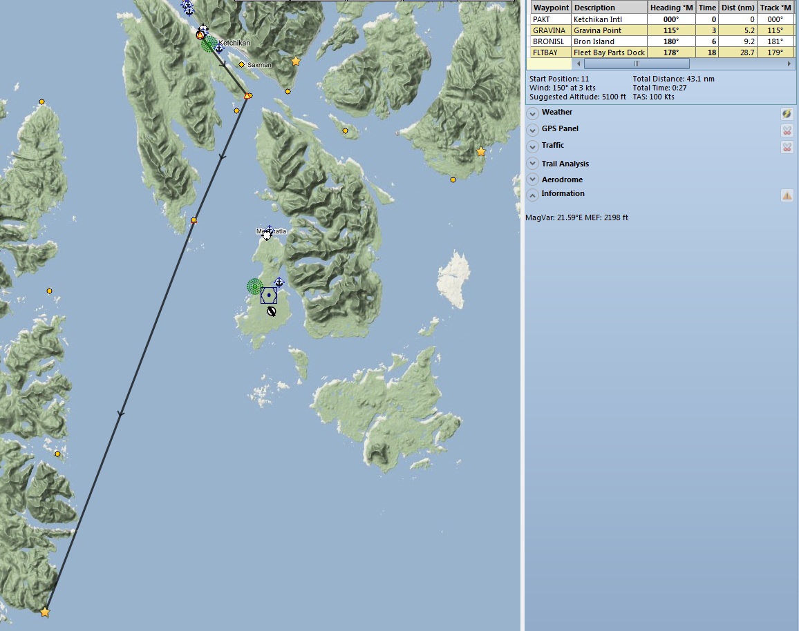
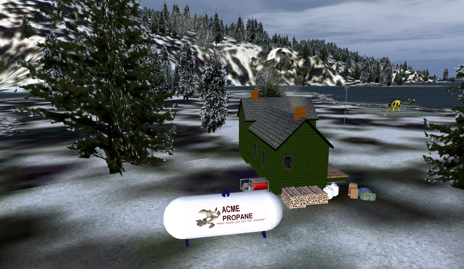 Click to Enlarge
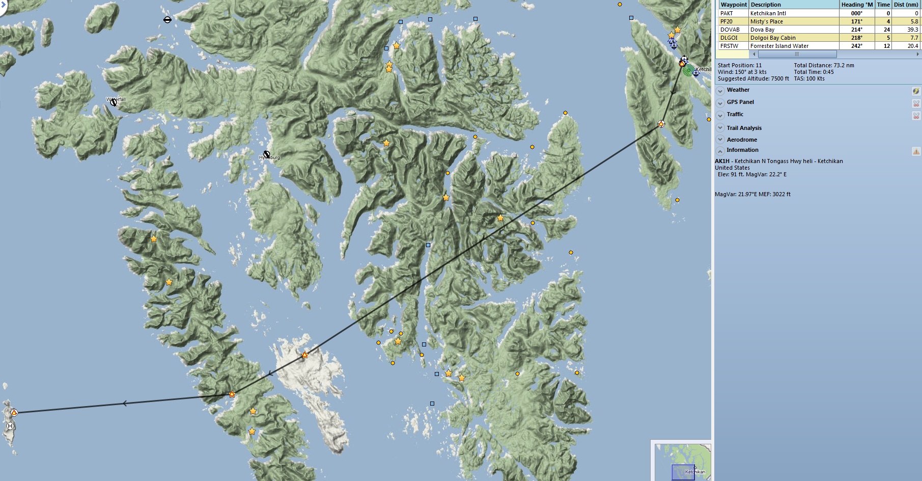
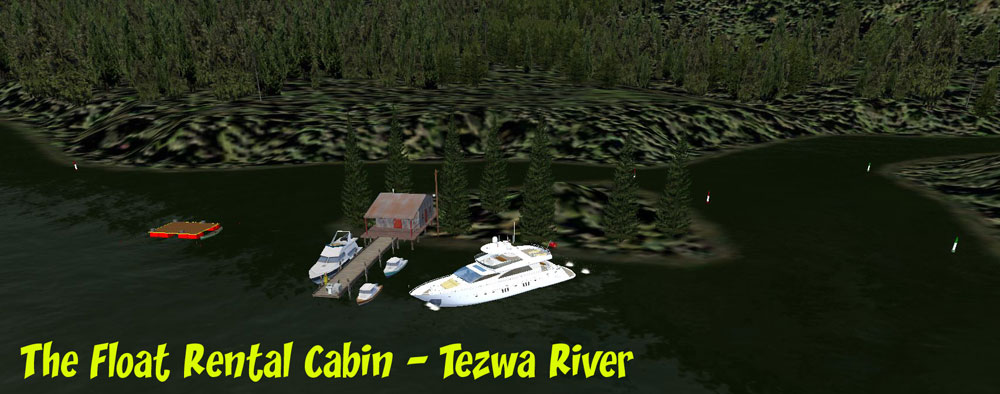 Click to Enlarge
| G | ||||||||||||||||
| Gilbert Bay Airfield (Refreshed 03.21.2021) Created by Xavier Carre' and Brad Allen Start: Go-to-airport: TF20 Land and TF21 SPB ... WP: TF20 During the 1950's, a small group of veteran pilots of World War II started a small aviation company they called 'POW AIR!' because one of their friends, sadly, had been a prisoner of war [POW]. They kept his legacy alive by not only naming the company just for him but with all the other allied POW's in mind. They operated what are now considered to be a dream team of classic aircraft: the Grumman Goose, the Consolidated Catalina, the C-47 and the Piper Cub. They based themselves at Gilbert Bay with the hope of a prosperous future and a collective desire to keep flying those beloved airplanes. Unfortunately, after ten tough years of operation, POW AIR! finally folded and the dejected aviators returned stateside leaving the small airfield deserted. That was then. Today, the same spirit and lust for adventure from back then now drives the Misty Moorings aviation services staff to operate flights in this remote area of Alaska. As routes and adventures were being planned, this old, abandoned airfield was discovered and found ideal for a base, being close to their area of flights in the Glacier Bay and Juneau area. Consequently, the old buildings were repaired and a few new ones were built. A full time staff is on hand all year to maintain the airplane service business and a small refreshment area called "Misty Bar" is located here to cater to the bush pilots who stop by. The scenery at the airfield shows the service team lining up to greet your arrival and there's even a photographer on hand to record the momentous event - say CHEESE! Another pic to pin up behind the bar. Rumor has it the first round is on you, which might account for the large turnout. Be careful not to get too close to the excavator that is busy digging the foundations for what looks like another hanger. One or two of the staff are too busy to come and greet you but you will find them working on engines in the hangers. A DC-3 is used out of this airfield during the spring and summer months to bring winter supplies in. The DC-3 depicted is in the very colorful 'Golden Moose Air Lines' livery and flew from 1937 to 1988 as part of a 13 strong fleet of DC-3s. In 1992, "GAL', as the old bird is known, was rescued from her solitary indolence and restored to flying condition. That's nearly 80 years of hauling payloads - and still going strong. What a plane! At the seaplane base you will see various wooden huts and cabins plus a wooden jetty hosting a floatplane. Adjacent to this mooring is a ramp for 'amphibians' which enables access to the taxiway to the airstrip [see included map]. The location is further enhanced by excellent ambient sound. If you are using Plan G and Dieter's POIs you will see many destinations to fly to from here within a 30mi radius. NOTE: The name of the scenery folder in this package has been changed from Gilbert Bay to Gilbert Bay Airfield. !Previous owners must redownload to get this latest version.
|
||||||||||||||||
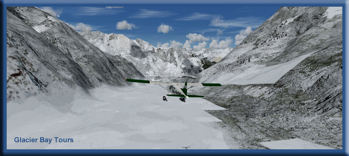 Click to Enlarge Click to Enlarge |
Glacier Bay Tours (Refreshed 06.02.2020) By Doug Linn Start: Wrangell PAWG Glacier Bay Tours is a collection of 38 GPS way points and scenery locations for 38 glaciers in the Glacier Bay National Park area. You will need Plan-G and ORBX SAK for these. The "map" you use will be Plan-G with the SAK.csv file from Dieter Linde. This gives you a gold star at every one of the glaciers in the area. The scenery location is at the star. You will also need "Wood Lake" (see "W" below). Although difficult flying, this is a good beginner package because most of what you need is already in ORBX SAK (all the airports, etc). The zip file below enhances those airports a little and adds the scenery locations and GPS way points for the glaciers. This is hours of flying time, difficult navigation (there are no flight plans), you fly to the gps way point the best way you can. Add a little real weather and you have a challenge. Also the "runways" are not all flat, but often hilly or sloping. A ski equipped plane is recommend (or, of course a helicopter can do all of these).
|
|||||||||||||||
|
Gokachin Lake Cabin (Refreshed V2.1-06.15.2019) Scenery and Story created by Brad Allen Start: N55 25.3703 ... W131 8.1241 ... Mag: 284.4 ... Water ... R145A Gochakin Lake Cabin is situated on a small spit of land near the north end of the Lake. Our scenery shows a small 'A-Frame' cabin facing a floating dock with two campers greeting visitors. Gokachin Lake offers some of the finest freshwater fishing in Alaska and is famous for its healthy population of wild Rainbow Trout - the lake is full of them! You'll also find one of Alaska's most sought-after sport fish, the Dolly Varden trout plus the Alaska Northern Pike, another popular Alaskan sport fish. All three species reside in the surrounding lakes, sloughs and tributaries and, unsurprisingly, all three can all be found in Gokachin Lake - by the boat load! For those who don't fish, hunting for Sitka blacktail deer and black bear is popular in this area. Beaver, mink, and marten are common. The Lake is surrounded by large, old-growth forest of spruce, hemlock, and cedar. From the shore there is a spectacular view of the mountains opposite and hiking the trails around the Lake is an all day adventure. Be aware that there are many small islands in this lake - plan your seaplane approach and landing carefully! The RTMM flightplans take you close to the cabins at Big Lake and Mesa Lake. If you're using Plan 'G' with Dieter's POIs you will see the location of these cabins marked with a green dot. In fact, you'll notice there's quite a few other locations [shown with either a gold star or green dot] in the flightplan areas that will make worthwhile diversions to your trip such as Fish Creek Cabin [not included in this scenery package*], located about 3 mi/5km to the south west. The mooring buoy there is available on a first-come, first-serve basis. We wish to draw your attention to this location because there isn't any discrete RTMM scenery as such, it is part of a multi-location package and you might miss out on it. See below for more information. If you decide to fly using the 'TripTic' you will note that you will fly more or less south to north to the Thorn Arm area, whereas the flightplans take you from west to east. This route starts at the sea plane base at Metlakatla and to get the most out of it, we urge you to install the Big Lake Cabin and Mesa Lake Cabin scenery packages. *NOTE: Fish Creek Cabin is included in RTMM's 'Cabins By The Lakes II' scenery package.
|
|||||||||||||||
|
Goose Bay Cabin (Updated 05.10.2020) Scenery and Story created by Brad Allen Start: N55 23.4898 ... W132 29.5853 ... Mag: 341.0 ... Water ... WP: R146A Goose Bay Cabin is located on Prince of Wales Island. You will see that our scenery depicts an old log cabin adjacent to a more modern construction. Surprisingly, perhaps, given that the frontier log cabin is an icon of the American wilderness, the concept of building using logs is not an exclusively American idea. During the 17th and 18th centuries, many Swiss and German settlers came to North America bringing with them a knowledge of log construction. Many colonial French fur traders and settlers had introduced vertical log construction in the 17th century. Through the late 18th and early 19th centuries, frontier settlers erected log cabins as they cleared land and the trend continued up into the Alaska frontier during the Gold rush. We show the old cabin as a reminder of the grit and determination of settlers in years gone by and to contrast it with the 'modern' cabin, which somehow does not quite have the same rustic charm. The log cabin has also been a symbol of humble origins in American politics since the early 19th century owing to the fact that nine United States Presidents were born in log cabins, including: Abraham Lincoln, Andrew Jackson, James Buchanan, Ulysses S. Grant and James Garfield who is remembered as the last President to be born in a log cabin and, notably, lived in it all his life, unlike his predecessors. There's a dock to fish from and for parking your boat or float plane. This is a beautiful scenic location to get out and about to see the countryside; this spot is not only picturesque, it's perfect for many activities: great fishing can be had everywhere around here and hiking and hunting await the more adventurous. Just take it easy on the Land Rover if you decide to do some island exploring as the surrounding terrain is rugged and we want the next visitors to have the benefit of this vehicle as well. Thanks. NOTE: Do not confuse this cabin with the USFS cabin at Goose Bay in the Chugach National Forest. More information regarding this cabin can be found in the scenery package files. Landing Surface: Water
|
|||||||||||||||
|
Granduc Camp (Refreshed 05.10.2020) Scenery and Storyline created by Brad Allen Start: N56 16.1199 ... W130 3.4300 ... Mag: 173.2 ... Land ... WP: R147A RTMM's Granduc Camp scenery comprises 2 tents plus a memorial to the 26 miners who lost their lives in tragic circumstances on 18 February 1965. This is their story. Underneath the Leduc Glacier near Stewart, BC, a tunnel had just started to be built by the Granduc mining company with the intention of reaching a lode of copper. On the morning of February 18, 1965, a crew was excavating in the tunnel, 28ft/9m into the projected length of 11mi/18km. The night crew were in their beds in the Portal Camp bunkhouses after completing their shift. It was a typically cold, blizzardy day - this area has an average snowfall of 800in/21m per year. The only thing unusual was the depth of the snowfall – 16ft/5m in one week and still the blizzard raged. At 10:16 am, the snow gave way and millions of tons slid off the hillside above the Portal Camp. In his 2002 book, “9 Lives of An Alaska Bush Pilot”, Ken Eichner says the miners at the camp never knew what hit them. “Floating silently down the hillside, the roar of the avalanche couldn’t be heard over the wind and the weather. According to one survivor, who had been out sweeping snow off the roof, a gentle breeze blew across the compound causing several to look up. At that instant, WHAP! The avalanche was on them.” The bunk houses were buried as the tunnel became jammed with glacial debris and the entrance was sealed. The radio operator at the camp airstrip managed to send out a brief SOS message before his equipment failed; fortunately, enough was received by rescue stations nearby to begin a rush of help from Ketchikan, Alaska, Prince Rupert further down the Canadian coast and from the nearby town of Stewart. A gusting 70mph/100kph wind prevented helicopters bearing doctors and supplies from getting close to the Granduc Camp. An American Coast Guard cutter set course for the camp and it was used as a hospital ship for the injured. Forty men were trapped in the cabins. Several more were trapped in the tunnel. The slide had split into two arms and some men were able to dig themselves out of the ice. Rescues were delayed by the intense winter storm and bone-chilling temperature, battering the aid workers and icing up the helicopters. Over a week's time, most of the miners were located and dug out. The last man found alive had been buried in an air pocket for 72 hours. Frostbitten and dehydrated, he was alive, but lost several fingers and both legs below the knee. Unfortunately, seven bodies were not recovered until spring. For a first hand account, go here:'http://www.cswu1611.org/wp-content/uploads/2017/01/Liuna_Chapter-14_web.pdf'. Whilst RTMM prides itself on producing scenery to enhance the beauty of the Alaskan landscape, we are always mindful that this area of the planet can be harsh and sometimes deadly for those that live and work in it. This scenery is intended to be a respectful acknowledgment of that fact.
|
|||||||||||||||
|
Gwent Bay Cannery (Refreshed 05.10.2020) Scenery and story created by Brad Allen Start: N54 57.1823 ... W130 9.5575 ... Mag: 120.0 ... Water ... WP: R148A The Gwent Bay Cannery is located in Gwent Bay situated on the northeast point of Pearse Island about 10mi/16km up the Portland Inlet and 59mi/95km east-south-east of Ketchikan. This is an old cannery complex, circa 1934, that is actually not a functioning cannery but one that has been restored for historical reasons. There is a shop that dispenses bait and beer upon request, you can refuel your boat or your floatplane at the boat dock and also supplies can be had here for the many U.S. Forestry Cabins that are out in this area of the Misty Fjords National Monument. Limited lodging is available for those suddenly getting caught in dangerous weather. This destination, south of the Misty Fjords area, makes a nice stopping off point for a break on your way up the Portland Canal to Stewart or perhaps to the Khutzeymateen Grizzly Bear Sanctuary, which is 23mi/37km south east. Landing surface: water; does not freeze in winter.
|
|||||||||||||||
| Back to Top | ||||||||||||||||
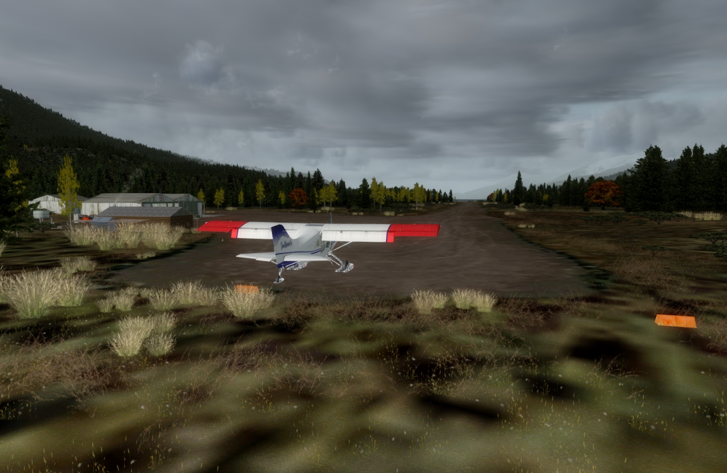 Click to Enlarge
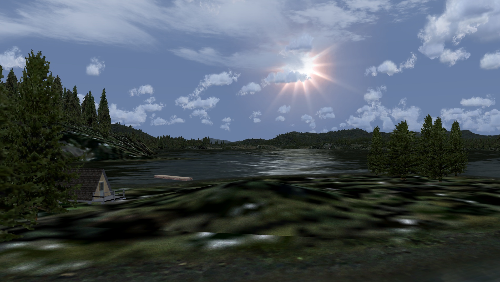 Click to Enlarge
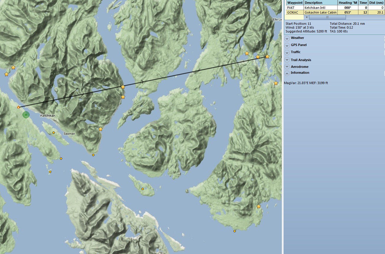
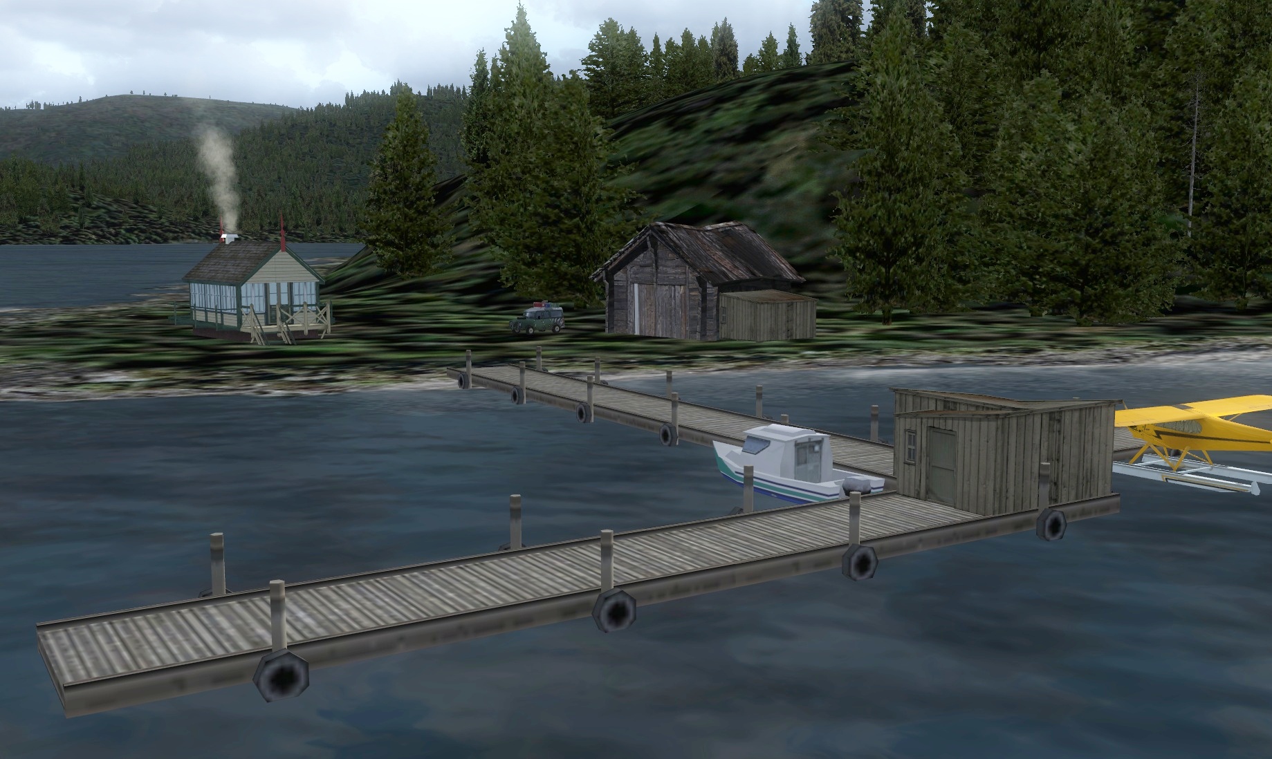 Click to Enlarge
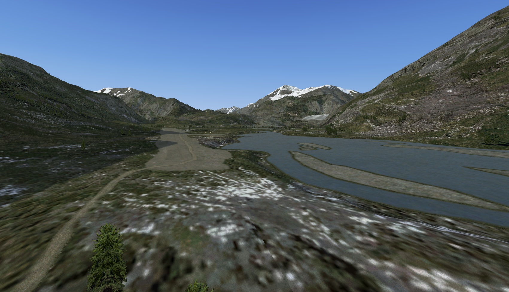 Click to Enlarge
 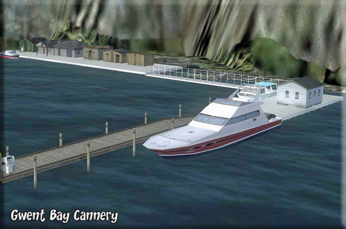 Click to Enlarge
| H | ||||||||||||||||
|
Halibut Cove (Refreshed V2.1-08.28.2019)
Project Leader- Rod Jackson Brad Allen Assistant Project Leader Dexter Thomas - AI Boat & Float ADEX Files and Tracks. Overall AI Xavier Carré - Custom Object Design & Development Jan de Jong - AI Boat & Float Repaints, AI Boat Model Enhancement Jeff Greene - Object Placement Beta Testers & QC-Rob Abernathy, Klaus Tröppner, Guy "Spud" Maricich - Garry Scanlan Start: N59 35.6798 ... W151 14.8018 ... Mag: 161.1 ... Water ... R149A Halibut Cove The community of Halibut Cove, Alaska on the Kenai Peninsula, lies in a protected stretch of waterway called ‘The Narrows', which runs between the hourglass-shaped Ismailof Island and the south shore of Kachemak Bay. Many of the houses sit on pilings (due to regular tidal variances of almost 25 feet) and the only modes of transportation are on foot, skiff or ATV. There are no cars. There are no roads. There are no runways. Halibut Cove can only be reached by ferry, floatplane or amphibian. The surrounding water of Kachemak Bay provides the livelihood of many Halibut Cove residents. Local men and women fish commercially for salmon, halibut or cod. There are also a number of artists in the Cove and it’s not unusual for a resident to be both artist and commercial fisherman. In the summer, Halibut Cove is a vacation destination for many Alaskans as well as visitors to the State. Bart Jonas together, with his brother Brett, recently landed a transport contract for a section of the Kenai peninsula from Seldovia (A27) north all the way to Kenai Municipal (PAEN). Though they didn't even have a "Jonas Brothers Transport" logo painted on their newest DHC-2 Beaver, they had managed to establish "shipping locations" (mostly rented space) in Seldovia, Homer (PAHO), Halibut Cove (PFHC) and Kenai Municipal. The Jonas brothers' favorite run was Homer to Halibut Cove where they had time to drop off, pick-up and relax a bit up at the Saltry. Of course, demand for that run to the Cove was really only strong in the summer so sometimes they just went to Halibut Cove to see the fall colors, the new spring growth (including new cove residents) or just hang around. Halibut Cove is a very unique, picturesque, quaint place and there is nothing quite like it in all of Alaska. Suddenly, as Bart was landing at Beluga Lake in Homer, the radio crackled. Brett had a new run for today. Time to taxi to their trailer (at least they owned that) right on Beluga Lake (5BL) in Homer, refuel and be on his way. This run would be to Seldovia for the pickup then over to Halibut Cove for a quick drop off, a bite to eat and then back to Homer for the afternoon. Luckily, it looks like it will be a nice day for flying.
|
|||||||||||||||
|
Hang Em High Resorts (Refreshed V2.1-06.15.2019) By Doug Linn- Special Objects by Steve Weinkamer Start: N55 10.8090 ... W132 14.6425 ... Mag 112.9 ... Water Start: Upper:N55 10.6414 ... W132 15.3689 ... Mag: 72.9 ... Land ... WP: R150A For those who are not afraid of heights, there is a new cliff to "jump off" of near Dora Bay. There are two lodges, an "upper" lodge and a "lower" lodge. At the top of the nearby mountain is a cliff with a launching pad for parasails, parachutes and Ultralites. If you own a cub, you can (with a lot of care) land on the top of the mountain where there is a very short runway (for ultralites). There are helipads at the upper and lower facilities. Also, making its debut with this scenery set is Brad's BBQ, floating barge facility. This also has a hardened helipad and is located near the lower lodge heading out of the waterway toward Dora Bay. You will find live (animated) parasails over your head and also some that come in for a landing. Take off from the launcher and "feel" the depth of the scenery when the ground drops from beneath you and you are literally thrown out into space. In the 2019 Refreshed version (V2.1), the upper launch ramp has been changed. Also the Season Switcher was added. New Runway approach lights were added. The map for this site is in the Readme. See a beautiful VIDEO for Hang Em High by Robert Pomerleau HERE F100 Powered Paraglider is included in the zip download folder.
|
|||||||||||||||
|
|
Healy River Airport (PHAV for V5 and NonV5) (Added 07.09.2020) By Dr. Thomas Menzel Start: N63 51.9637 ... W148 58.2689 ... Mag 281 ... Land ... WP: R640A Healy River Airport is a state owned, public use airport serving Healy, a community located in the Denali Borough of the U.S. state of Alaska. The asphalt runway is 1275ft/389m MSL, measures 2910ft/887m x 60ft/18m and is oriented 15/33. The scenery shows a busy airport full of passengers and well-wishers, with plant and machinery looking ready for any bad weather. There are containers in storage, private planes and container trucks ready to pull out. Some workers are making repairs to planes and to the airport itself. At night, the buildings and vehicles are beautifully lighted. Thomas has delivered a very busy and interesting scenery - the least you could do is go and have a look. Doctor's orders!!! NOTAM: There are TWO versions of this location, one for NonV5 and one for users who have installed P3D V5+ Prepar3d V5 - Use only with V5 NonV5 - Default Healy River If you are NOT using P3D V5 or higher, then the file below is the file you must install to see Healy River correctly. This would be the "default" or "NonV5" Haley River.
|
|||||||||||||||
NOTAM: Only the Payware Version has the Season Switcher. |
Herring Bay Cannery and SPB (Refreshed V2.1-06.15.2019) Scenery and Story created by Brad Allen Start: N55 19.5400 ... W131 31.4600 ... Mag: 068 ... Water ... WP: R151A Herring Bay Cannery is located on the Southwest corner of Revillagegedo Island, the largest island in Alaska. The cannery is only a short flight from the Ketchikan airport. The production at the cannery has expanded in size and output since the early 2000's and given it's close proximity to Ketchikan, it's an ideal location. Also look for the marina set up for the fishing fleet nearby. Originally built for smaller operations, the cannery has grown with modern technological advances and is a place that gets the job done efficiently. Being closer to the main airport affords this growing facility with the potential to surpass the production of the older Hunter Bay Cannery. Newly added and across the water from the cannery is the New Tail Dragger Diner with a dock. And tucked back into the bay is a new little Sea Plane Base and Helipad. The new ADEP2 (Airport Design Editor 1.6) files included provide you with a SPB with water runway, a starting point at the dock of the Diner, another one at the Fuel Box at the SPB, another for the Helipad and a final one on the DRY ramp for an amphibian. NOTAM: If you have the PAYWARE PAKT from ORBX, you must use the V.2 download. If you have the ORIGINAL PAKT from ORBX, then you download V.1. The V.2 version for PAYWARE PAKT has a season switcher, the V1. Version does not have a season switcher.
|
|||||||||||||||
 Click to Enlarge Click to Enlarge
|
Hidden Inlet Lake Cabin (Refreshed V2.-06.15.2019) Location Name by Doug Linn Start: N55 0.0206 ... W130 25.1429 ... Mag: 026 ... Water ... WP: R152A As an addition to Hidden Inlet Retreat, this is a cabin you can rent on the nearby Hidden Inlet Lake. Just a small cabin, with outhouse and well. Great fishing year around on a secluded end of the lake. Plenty of wildlife to see and a beautiful view of the lake. You can arrive here from Prince Rupert or from Kincolith SPB. It is a water landing and the water does not freeze in winter.
|
|||||||||||||||
 Click to Enlarge Click to Enlarge
|
Hidden Inlet Retreat by Doug Linn (Refreshed V2.0-06.15.2019) Start: N55 0.7167 ... W130 20.7562 Mag: 178 ... Water Start: N55 0.8095 ... W130 21.0230 Mag: 338 ... Land ... WP: R153A Hidden Inlet Retreat is a fictitious retreat situated in the "Hidden Inlet" ... in the USA, but almost in Canada! This resort is accessible only by air or water, there is no road transportation to it. It consists of a rustic resort hotel with dockage and a small airstrip. The airstrip has night lighting so dusk and night flights are possible on this airstrip. Water/Heli/Land/Boat - The scenery location can be accessed by float plane, having a dock on the water and also by wheeled aircraft by having a short airstrip behind the retreat complex. There is also a helipad. You can take off away from the retreat (toward the valley and mountains) as there is plenty of room for a "U" turn to head back out over the water. There are two flight plans, one coming out of Prince Rupert (for wheel aircraft) and a second coming out of Port Simpson SPB for floats/amphibs. Both are in the RTMM Flight Plans.zip and both are in the folder for this package. And if you are in the mood for a cruise, this resort is accessible by boat from any port in the world!
|
|||||||||||||||
|
High Lake Cabin (Refreshed V2.0-06.15.2019) Scenery and Story created by Brad Allen Start: N54 55.6753 ... W132 28.6999 ... Mag: 335.5 ... Water ... WP: R154A This cabin lodging is situated on the northwest arm of High Lake on Prince of Wales Island. You should be able to spot black bear, grizzly bear, moose and various birds. There are plenty of hungry, aggressive rainbow trout jumping in the lake. There is a dock for mooring your floatplane and sufficient room for lodging 4-7 people. Canoes and kayaks are ready for use and cooking facilities are available along with plenty of firewood. The cabin is a former park service headquarters and was a ranger outpost before being privately acquired. The approach to High Lake is tricky. Pilots should exercise extreme caution when trying to land at this location. It is recommended that the pilot over fly the location and make themselves aware of the proper landing area. The favored approach is from the South because the lake is small and pilots landing from the South have more distance to land and slow down. Landing surface is water.
|
|||||||||||||||
 Click to Enlarge Click to Enlarge |
High Mine (Uncle Skeeter's) (Refreshed V2.0-06.01.2019) Scenery and Storyline created by Andrew Crowley Start: N59 37.9650 ... W136 5.4946 ... Mag 342 ... Land ... WP: R155A Uncle Skeeter, some said was a little crazy, had a mine tucked away above Haines, AK. This is a beautiful flight to a very difficult landing. Andrew has given us a great story line for this that you should read before you fly to the location. This is a great flight to an area where we rarely go. Use a tundra to land (or a parachute!). Approach it carefully and slow, difficult but fun. Thank you Andrew for a great new scenery location. The flight plan is in the zip folder.
|
|||||||||||||||
|
Hollis Harbor (Refreshed V2.1 - 06.21.2019) Scenery and Story by Rod Jackson Start: N55 29.0321 ... W132 38.6503 ... Mag: 236.9 ... Water ... WP: R156A Well, Joe and Jack, the brothers from Eagle Air at Ketchikan Harbor have moved their office and floatplane base to quieter digs at Hollis, Alaska which is on Prince of Wales Island. They are planning on selling their Ketchikan Harbor location (which they are still running) to Carlin Air and still plan to make stops at the Carlin Air facility if Carlin Air buys them out. Eagle Air is now transporting customers (and some cargo), who arrive in Hollis by ferry from the mainland, as well as locals to different places on Prince of Wales Island. The most common destinations are the seaplane bases at Craig, Hydaburg, Port Alexander and Coffman Cove. Of course, Eagle Air does make trips to Ketchikan also. Business is so good that Eagle Air now has its own "Eagle Air Network Map" (see Maps and Charts folder) and is contracting with locals to do extra floatplane trips each day. All of the nearby towns shown on the Eagle Air Network Map are "photoreal" areas created by the Tongass Fjords FSX scenery. A floatplane trip from Hollis to these little towns makes for a great scenic flight. (Note: These trips can also be flown for vNAC credit at Chris Losh's Virtual Northern Air Charters
|
|||||||||||||||
|
Hugh Smith Lake Hatchery (Refreshed V2.0-06.15.2019) Scenery and Story created by Brad Allen Start: N55 6.2198 ... W130 37.7448 ... Mag: 212 ... Water ... WP: R157A The Hugh Smith Lake Hatchery is located on Hugh Smith Lake, not too far from the US Forestry Service Cabin located there. The hatchery is active year round. There are fine hiking trails that link the Hugh Smith Lake Cabin to the hatchery. Salmon arrive every May at the nearby Marten River. A trap there is used to help hatchery staff sort through the fish for candidate females and males. Salmon that arrive later in the summer are released back into the river to reproduce naturally. After processing, the fish are tagged and are transferred to the lake's holding ponds until they spawn. Once the fish mature by mid-August, females are sorted and eggs are drawn from the fish. Then the eggs are fertilized with two different male's sperm and the eggs are kept in incubation conditions until the newly emerged fry hatch. Then the fry are moved to outdoor raceway's and fed frozen food until they grow to around 2 inches in length. Once they reach that size, they are transferred back into the lake holding ponds so they can grow and adapt to natural conditions until they are ready to be released back into the wild.
|
|||||||||||||||
|
Hunter Bay Cannery (Refreshed V2.0-06.15.2019) Scenery and Story created by Brad Allen Start: N54 52.3356 ... W132 18.8470 ... Mag: 99.2 ... Water ... WP: R158A The Hunter Bay Cannery is located on Hunter Bay on the southwest side of the Prince of Wales Island. It's about 40 miles direct from Ketchikan. This facility processes the fish from the many fishing fleet boats operating out of their bases nearby. There is a parts shop and restaurant, mostly for the fishermen and pilots. Overnight lodging is available. There is plenty of room to moor your boat or your floatplane along the docks of the cannery. The draft depth of the channels is 35 feet. A ferry boat provides transport for cargo, shipment of product and staff transportation to and from the facility daily. The Cannery has to be one of the most visited destinations from the old Misty Moorings sceneries. Just based on it's location, it's fun to fly in and out of with beautiful scenery all around. Look for the channel buoy's and boats to help you navigate through the channel. There is also a nearby waterfall I had some fun with. Don't forget to stop by the nearby Klinkwan fish camp when you get a chance! Landing Surface: Water (Does not freeze in Winter)
| |||||||||||||||
| Back to Top | ||||||||||||||||
 Click to Enlarge
 Click to Enlarge
 Click to Enlarge
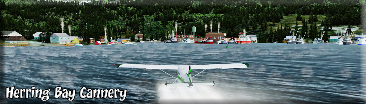 Click to Enlarge
 Click to Enlarge
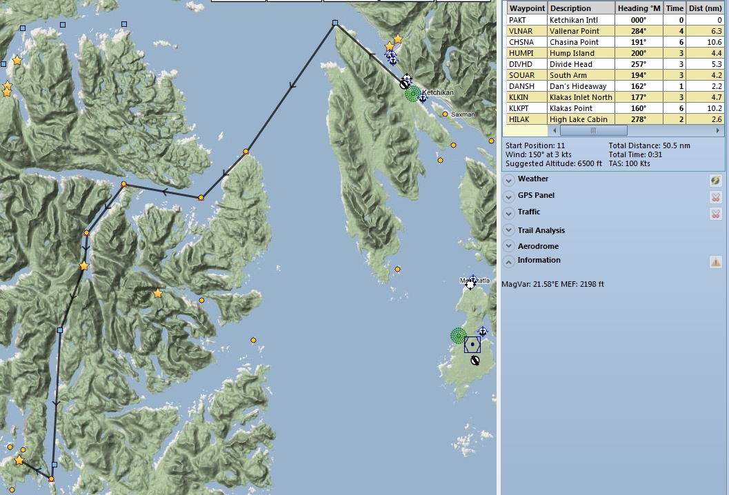
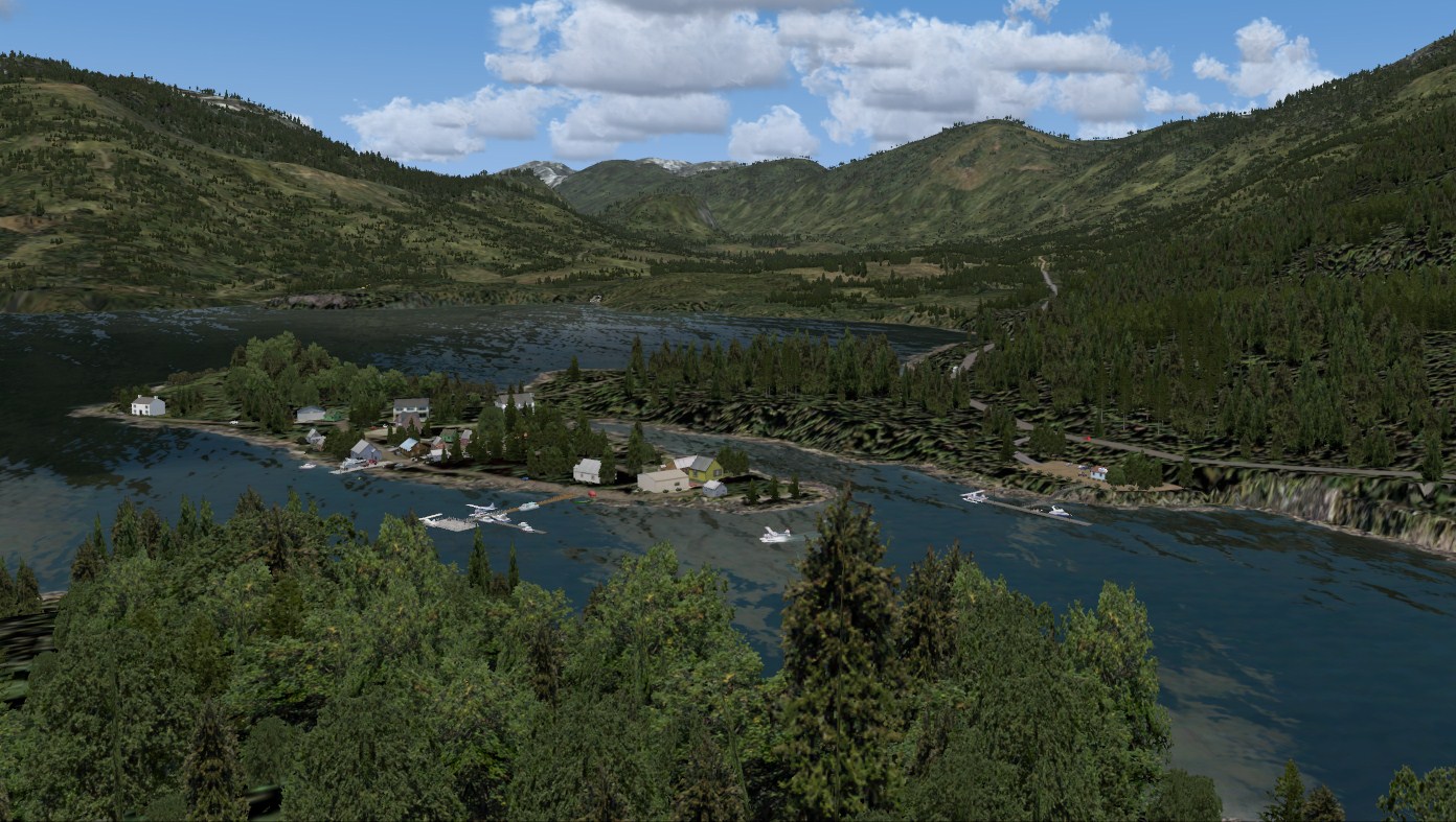 Click to Enlarge
  Click to Enlarge
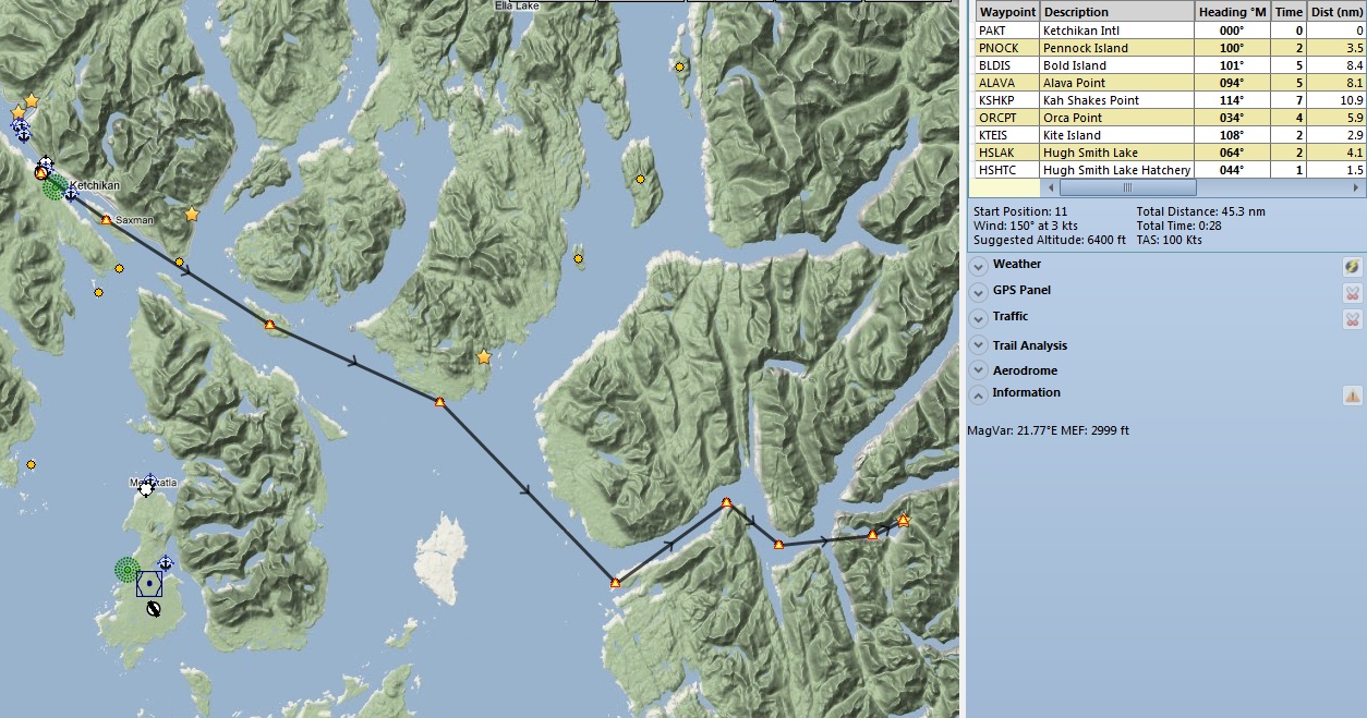
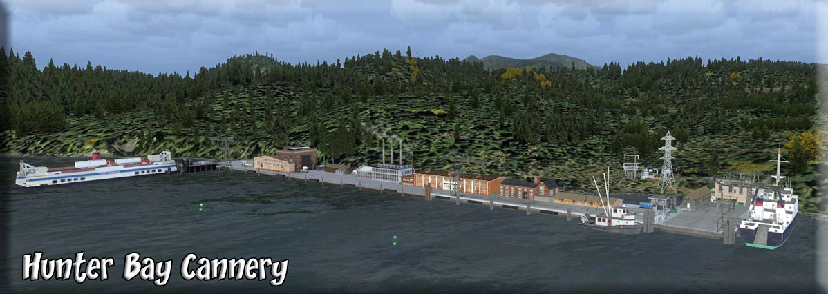 Click to Enlarge
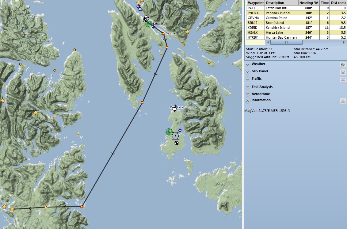
| I | ||||||||||||||||
|
Iggy's Harbor (Refreshed V2.0-06.24.2019) Scenery and Storyline by Brad Allen Start: N55 11.5277 ... W129 13.58... Mag: 80.9 ... Water ... WP: R159A Iggy's Harbor is a small group of homes that share a shoreline along the Nass river in the settlement of Gitwinksihlkw (Pronounced: "GIT-WINK-SILK"). The homes are built along the waters edge and each has it's own private pier for floatplanes and boats. The Nisga'a people maintain a small casino called "Barnstormers" that attracts tourism to the settlement. Every night from 7:00 PM until 10:00 PM there is a fireworks show put on by the casino. It's quickly becoming a popular destination for tourists and locals alike. There is also a small factory owned by the Proctor and Gamble company that helps in the production of the "Lava" soap brand. The small operation mines pumice and other minerals from the Nisga'a Memorial Lava Bed Provincial Park across the river from the settlement for the soap. Just about everyone in the settlement works either at the plant or the casino and they all enjoy a thriving local economy. The provincial park lies in the Nass River valley of northwestern British Columbia, Canada, about 80 kilometers north of Terrace, and near the Nisga'a Villages of Gitlakdamix and Gitwinksihlkw. The park has waterfalls, pools, cinder cones, tree moulds, lava tubes, spatter cones, a lava-dammed lake, caves and other features created by lava flows. The parks aims to protect moose, goats, marmots, bears and many other species of wildlife. It is believed to be the site of Canada's most recent volcanic eruption and lava flow, a geological disaster that killed an estimated 2,000 people. Nisga'a oral histories record the names of two villages destroyed in the eruption, Wii Lax K'abit and Lax Ksiluux. The source of the eruption was the Tseax Cone. Large lava flows dammed the Nass River and destroyed two villages of the Nisga'a people around the years 1750 or 1775. Lava beds rise as much as 12 metres above the modern road. There is an old tale of a mythological creature that inhabits the nearby Nass river. Nicknamed, "NASSIE", it's been described as a dinosaur that swims. If you take the time to look around the river, you just might spot her! And her family!! There is a Sounds and Traffic addon to Iggy's Harbor in the folder - enhancement by Dex Thomas.
|
|||||||||||||||
|
Iskut Village Airstrip (CBU2) (Refreshed V2-06.15.2019) By Brad Allen Start: N57 50.9257 ... W129 59.2389 ... Mag: 302.4 ... Land ... WP: CBU2 This scenery gives the Iskut Village airstrip some enhancements and objects. Eddontenajon is an unincorporated settlement in the Stikine Country of the northwestern British Columbia Interior in Canada. It is located along the Stewart-Cassiar Highway on the northeast side of Eddontenajon Lake and comprises a small commercial center as well as the community It should not be confused with the original Eddontenajon Post Office, now renamed Iskut which is a few miles farther north at the north end of the lake. The name means "Child walking in the water" in the Tahltan language. Thanks to "Jon" for the suggestions.
|
|||||||||||||||
| Back to Top | ||||||||||||||||
 Click to Enlarge
 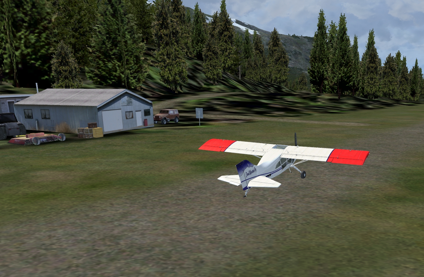 Click to Enlarge
| J | ||||||||||||||||
|
Jedway Bay Sea Base (Refreshed V2.0-06.02.2019) Scenery and Story created by Xavier Carre' Custom objects and ground textures by Xavier Carre' Start: N52 18.1541 ... W131 13.1593 ... Mag 26.6 ... Water ... WP: R160A Located in a very isolated area, south of the Queen Charlotte Islands, BC, the bay housed a small settlement dedicated to a copper mine for a few years. Look at the color of the water hole! Today, looking for a location in this remote area, Misty Moorings has sent some reconnaissance flights over the bay. As the bay seems to be OK for a base, work will soon start. To provide some commodities to guests, sailors and pilots, an inn has been built. Some people, with a good sense of humor, call this base Ghost harbor, referring to a shipwreck, the old settlement, and rumors reporting some strange events during some strange nights. Despite these events, Jedway Bay Sea Base is now open, and is pleased to welcome you. NOTAM: Please Do not walk along the water hole at night. Do not walk through the inlet or on the beach at night. Don't rest at night on the small island. And enjoy your holidays here.
| ||||||||||||||||
|
Jordan Lake Cabin (Refreshed V2-06.015.2019) Scenery and Story created by Xavier Carre' and Brad Allen Custom objects and ground textures by Xavier Carre' Start: N55 35.8556 ... W131 33.2878 ... Mag: 151.9 ... Water ... WP: R161A An updated USFS cabin located at Jordan Lake. Far from nowhere. There isn't much out here, except maybe trees, trees and more trees. Calm, tranquility, it's a great place to forget about modern life! But.. it isn't very easy to take in this heavenly location because a challenging approach awaits. Some float plane pilots will be able to land on Jordan Lake, some will not due to its small size. Do you have the stuff ? This cabin has a new deck and covered porch that were recently added. The porch deck roof is a clear lexan material that can withstand the toughest weather conditions and in the winter, the snow can't find a foothold and slides right off the roof. NOTAM: The upcoming Pacific Fjords patch from ORBX will add an official USFS cabin across the lake from this location. It'll be nice to have some neighbors once in awhile. And there will be other cabins at nearby Heckman Lake to visit as well. Go to the Map Room to see coming USFS cabin placements.
|
|||||||||||||||
| Back to Top | ||||||||||||||||
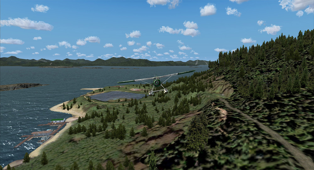 Click to Enlarge
 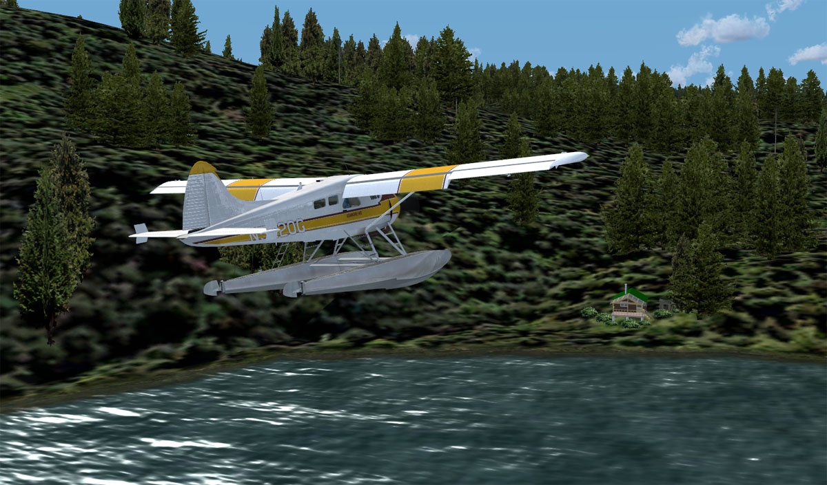 Click to Enlarge
| K | ||||||||||||||||
|
Kasaan KXA Upgraded (Refreshed V2.0-06.15.2019) By Doug Linn Start: N55 32.2384 ... W132 23.9064 ... Mag 243... Water ... WP: KXA Kasaan, KXA, as it comes to you in Tongass Fjords, consists of a dock, 2 automobiles and 2 boats. Not much to see. With this upgraded Kasaan, you have a little community, a brand new Brad's BBQ, a First Aid Station, Helipad, Fuel Pump that pumps fuel (Fuel trigger) and an operational windsock. There is also an optional NDB for this airport ... "KXA" at a frequency of "353". (The readme tells you how to delete the NDB and the Fuel Trigger if you decide you do not want these. We have not altered the ADEX file for Tongass X or the bgl for the original scenery, we have simply built upon it, incorporating all the new things with the original layout. We hope you enjoy these little upgrades as we bring these lovely little Seaplane bases to life for you.
|
|||||||||||||||
| Ketchikan Harbor (Refreshed V1.0-06.01.2019) Scenery Created by Rod Jackson Storyline by Rod Jackson NOTAM: PayWare PAKT is necessary for this location Ketchikan Harbor is a detailed scenery enhancement that requires ORBX PAKT with SP1 be installed first. Ketchikan harbor also features the home of Eagle Air. Other enhancements featured in this scenery package include cargo dock objects, many additional buildings and trees surrounding the general harbor area and some building enhancement in downtown Ketchikan to reduce the glass and steel effect and add more color. Eagle Air is a small fictitious company, located at the edge of Ketchikan Harbor, just east of Ketchikan Harbor Seaplane Base (5KE), that provides floatplane tours and private charters for the greater Ketchikan area and throughout Misty Fjords. Many locations featured, found at the Return To Misty Moorings (RTMM) web site, can be easily reached from Ketchikan Harbor. Eagle Air is run by two brothers, Joe and Jack. Joe loves their J3-Cub and is always spiffing it up. Joe is also a part time harbor pilot and takes the old boat out whenever the Harbormaster calls on him to help guide those monstrous cruise ships. Meanwhile, Jack always has a charter waiting to tour Ketchikan or go to such exotic places as Dan's Hideaway, Goose Bay Cabin, Thorne Bay Island Retreat and other RTMM locations including Joe and Jack's favorite....Eagle Lake. That is how the company got its name. Jack and Joe both get involved when they need to run supplies up to Herring Bay Cannery or the Fleet Bay Parts Dock. And, of course, there are the continuous requests to tour Misty Fjords or just go bear watching. It is a busy life but Joe and Jack love to fly. Unfortunately, Jack has been taken ill and has asked you, an experienced Bush Pilot, in this area, to take his place. Your fist charter is waiting for you at Misty's Place (scenery file available at the RTMM website). Their destination: Back to Eagle Air and their cruise ship.
|
||||||||||||||||
|
Khutze River Lodge PF17 (Refreshed 04.11.2020) Scenery by Brad Allen Start: N53 5.0598 ... W128 25.0900 ... Mag: 343 ... Land ... WP: PF17 Khutze Conservancy is located on the east side of Princess Royal Channel, along the Inside Passage route. It shares its northern boundary with Q’altanaas/Aaltanhash Conservancy. Khutze Conservancy protects a very scenic fjord, the entire watershed of the Khutze River, scenic mountains, coastal old-growth forests, high value grizzly bear habitat, salmon spawning streams, marbled murrelet bird colonies and low-elevation Sitka spruce forests. It also provides a protected anchorage (with scenic waterfalls) adjacent to the main Inside Passage route where visitors can spend a night to rest, fish or watch wildlife. The conservancy protects an area of popular recreational use by boaters, the Khutze and East Khutze River watersheds and several small remote streams, lakes and wetlands. The conservancy also protects old-growth forests of red cedar, hemlock and spruce as well as coastal wildlife habitat including important salmon spawning streams and habitat for grizzly bears, wolves, waterfowl, eagles, spawning salmon and deer which can be seen in the conservancy. The best place to see wildlife is at the river mouth and estuary at the end of Khutze Inlet. Humpback Whales, Killer Whales, Dall’s Porpoises, Pacific White-Sided Dolphins, Sea Lions and Harbour Seals can also be seen in the adjacent marine waters. This scenery highlights the entrance to the Khutze River and the settlement has a small dirt airstrip, lodge for visitors and limited aircraft maintenance facilities. Look for rock climbers, eagles and other surprises nearby. NOTE: This scenery set works with the Season Switcher that you can click on to download here or at the top of this scenery page. Follow the readme to place it properly. You can change the scenery of this scenery set to match any season you want. NOTE: Don't forget to add the "Canoona Fish Camp" scenery we offer, it's located just a few miles west of Khutze, across the canal. redownload Previous owners must redownload to get this latest version.
|
|||||||||||||||
 Click to Enlarge Click to Enlarge
|
Khutzeymateen River Bear View Lodge (Refreshed V2.5-06.15.2019) FSX Airport Name: "Khutzeymateen River" FSX ICAO Code: "PF01" Scenery and story created by Brad Allen and Kim Gowney Start: N54 39.7735 ... W129 47.6914 ... Mag 239 ... Land ... WP: PF01 The Grizzly Bear population in British Columbia have a place where they are looked after and monitored. The Bear View lodge, which is a replica of an African Safari resort, keeps a year round vigil on the local population of grizzly bears. There's a scientific research facility that tag's the bears and keeps track of them for study. Visitors to the lodge stay in facilities geared towards bear viewing along the river and with a focus on the conservation of the bears habitat and natural resources. In August of 1994, Khutzeymateen was designated Canada's only grizzly bear sanctuary under the joint management of the province of British Columbia and the Tsimshian Nation. Located 40 kilometers northeast of Prince Rupert on BC's northern coast, Khutzeymateen, a Tsimshian word meaning a confined space of salmon and bears, provides about 45,000 hectares of protected wilderness for the grizzly bear - a species at risk. The valley's rich wildlife population includes moose, wolves, migrating owls, grouse, shorebirds, geese, harlequin ducks, kingfishers, harbour seals, orca and humpback whales along the coast. With its dense rain forest, river mouth estuary and ocean fjord, the park sanctuary is able to provide refuge for about 50 grizzlies. There's a short dirt airstrip and a water landing area. Aircraft will ferry guests and re-supply flights to and from the Bear View lodge. Also look nearby for viewing shelters along the river and the float plane dock near the South end of the property boundary area. Please do not disturb the bears! Armed personnel are on site to keep the bears from any incursions inside the lodge compound. They use tranquilizer guns only if necessary but mainly ward off the bears with fireworks and BB guns to avoid any potential attacks on staff or guests. Land, tie-down and take a good walk around to see the sights. "Bob" is a must here. Just don't mess with the guards, they get kind of twitchy.
|
|||||||||||||||
|
|
Kildala Pass (Refreshed 06.17.2020) FSX Airport Name: "Kildala Pass" FSX ICAO Code: "PF14" Scenery and story created by Brad Allen and Kim Gowney Start: N53 51.8566 ... W128 2.6374 ... Mag: 151.8 ... Land ... WP: PF14 Kemano is a settlement situated 75 km (47 mi) Southeast of Kitimat in the province of British Columbia in Canada. It was built to service a hydroelectric power station which was built to provide energy for Alcan to smelt aluminium (aluminum) from its ore. The powerhouse is built 427 m (1,400 ft) inside the base of Mt Dubose in a blasted cavern. It produces 896 MW of power from its eight generators, each of which has a capacity of 112MW. The plant comprises a 16 km (10 mi) tunnel, the width of a two-lane highway, drilled and blasted through the coastal mountains to carry water to the penstocks of the Kemano powerhouse. The water plunges 800 m (2,600 ft) to drive the generators. The power transmission lines travel 82 km (51 mi) from Kemano to Kitimat across some of the most rugged mountain territory in British Columbia, along the Kildala Pass, about 1,500 m (5,000 ft) above sea-level. The first Kemano Project, known as Kemano I, resulted in the flooding of 120,000 acres (490 km2) of the Nechako Reservoir, within Cheslatta territory. This reputedly removed approximately 75% of the flow of the Nechako, which is or was an important salmon river. Expansion on the project, known as Kemano II, has been contested in the Canadian courts by members of the Cheslatta Carrier Nation with a group of Elders who have filed a Statement of Claim with the Supreme Court of British Columbia. Awaiting you on your journey here are three landing areas. A short and very tricky airstrip located high in the Kildala Pass known as Kildala Airstrip "ALPHA". It can be reached from Kemano by following the high power line towers that run along the river's edge in the valley from the Kemano hydro electric plant to Kitimat. This region is serviced mainly by helicopters, but the addition of the short strip allows for heavier cargo to be brought in to supply the ongoing workforce in the region, which is what your task will comprise if you choose to visit this challenging place. Although the strip can be accessed over the mountain range, the best route is to follow the pass up from the Kemano hydroelectric plant itself at low-level. As you get closer to the airstrip, look for the sharply pointed Atna Peak which becomes a prominent feature on a clear day. The pass continues past the airstrip to exit over Atna lake which itself is a tributary of Morice Lake lying just to the East of the mountain range. Airstrip "BRAVO" is an unlisted airstrip and is located at the top of the nearby North ridge of Kemano Peak. This facility is an in between staging facility where crews on the mountain can ride out a fast moving storm, re-supply and stage equipment runs to various locations in the vicinity. It's a snow surface airstrip with cordoned off helicopter landing areas. There are only barricades marking the ends of the airstrip, but flashing beacons help with the alignment and look for the small smoke canisters placed here to aid aviators with figuring out where the landing area is. Helicopters have it much easier up here. The last landing zone is for helicopter pilots only. Look for the suspended helipad that rests on the South edge of the Kildala Gorge Power Lines that run across the opening of the valley over the river far below. Only the best helicopter pilots are brought in to pick up personnel that work on the platforms rigged to travel along the top cable runs. The contact points keep the platforms grounded so they don't emit any high voltage supplies. In tough weather conditions, this location is generally left alone. It would almost be suicidal to try to land here in high winds and low visibility conditions.
|
|||||||||||||||
|
Kimsquit River Logging Camp (Refreshed V2.0-06.15.2019) Scenery and Story created by Brad Allen Start: N52 53.1100 ... W127 5.5700 ... Mag: 068 ... Land ... WP: R162A Early in the 20th century, logging operations in the Kimsquit watershed took on a new and important pace. Starting in 1917, Pacific Mills Limited constructed a train access point and rail operations began. Even though they were limited in reach, they were able to make an impact. Tall stands of Douglas Fir in the lower valley were now accessible and the operation lasted for several years. The planned expansion of the railway into a larger terminus never occurred though and operations slowed and would not return until the late 1970's. In 1980 Doman Industries assumed control of a large tract of land and constructed a modern 60-crew camp two miles from the beach on the west side of the river. For the next 18 years, operations commenced in the area. In 1997, several environmental issues became apparent. The local Grizzly Bear population was declining, precious resources in the area were taking a major hit, and pollution from the trucks was starting to show up in the water samples taken in the river. As a result, the government of British Columbia stipulated that no more lumber could be harvested in the watershed. Today, there is limited logging at the camps and all operations are heavily monitored. Stiff fines await any infractions. This camp is still active but operations are winding down. It is situated at an unlisted airstrip named "Kimsquit River". Another unlisted airstrip, "Dean River" is only a few miles South of here. There are log floats and log barges on the river hauling away the last few shipments of timber from this area. You can also spot several trucks hauling timber away to be processed.
|
|||||||||||||||
| Kimsquit River Run (Refreshed V2.0-06.01.2019) By Doug Linn Start: N52 52.7518 ... W127 5.0027 ... Mag: 39.2 ... Water The Kimsquit River, from the Kimsquit River Logging Camp up to the Victory Valley scenery complex is now navigable by water! This is a 10 mile run that shows off the beautiful Kimsquit River Basin with its many twists and turns ... sometimes like a maze. But all of the turns are carefully marked for you and the water hazards are out of your way. This is a great river trip ... enjoy the wildlife and sights along the way. Recommended you also add Victory Valley and Kimsquit River Logging Camp. This will complete your experience.
|
||||||||||||||||
|
Kitsault Gold Camp (Refreshed V2.0-06.15.2019) Scenery and story created by Brad Allen and Kim Gowney FSX Airport Name: "Kitsault Gold Pan" FSX ICAO Code: "PF03" Start: N55 24.1806 ... W129 23.0215 ... Mag: 250.3 ... Land ... WP: PF03 Immediately north of Kitsault Gold Camp lie the towering cliffs of granite and basalt formed from volcanic lava some seventy one million years ago. Formed during the Tertiary Period of geologic time it's a morass of gorges and mountain passes hard enough to claim many lives from those interested in what may lie beneath the surface. Far to the West lie the barrier mountain ranges that guard the Pacific Ocean approaches. To the East, the wilderness knows no boundary. Exploration for Gold began here shortly after the civil war in the United States as prospectors came and laid claim to plots up and down the territory with the Kitsault area. The land in this area has served as a natural barrier between the lower desert and the mountainous region of the Superstition Wilderness. Prospectors have dug shafts and tunnels all along the wilderness pathways searching for copper, gold and silver for the past seventy years. The Kitsault Gold Camp sprung up from the need for expeditions to have supplies and the small area of land became a popular trading post with the local indigenous tribes during the late 19th century. As word of "Gold Fever" spread to the area, small groups of trappers, prospectors and settlers found their way into the territory to find new promises of riches. Some were able to make small fortunes but most never saw a substantial return and they left for other locations. The Camp is a throwback to the day's of the gold rush and visitors today can experience panning for gold in the nearby rivers and streams. A trading post supplies most of the gear for everyone to have a chance to strike it rich. You keep what you find and rumor has it that there's more gold and riches yet to be discovered. Chester Graves and his wife Gretchen, still operate tourist expeditions and each day, a group of guests will summon up the courage to take a horseback ride down to the nearby Kitsault River to pan for riches. Bear, Moose, Caribou and Wolf are all frequent visitors to the area and are spotted frequently. Afterwards, enjoy a great meal in "Chesters" Trading Post before departing back to the modern world.
|
|||||||||||||||
| Klawock Snow Dog Tours Ops Base (Refreshed V2.0-06.01.2019) Scenery designed by Brad Allen Main Scenery Objects designed by Chris "MoCat" Carel Start: N55 34.7901 ... W133 4.2600 ... Mag 358 ... Land ... WP: PAKW This scenery adds a Snow Dog Tours operations base at Klawock Airport. There are two hangars and a small terminal to operate out of at this location. Snow Dog Tours is a chain of aviation operations situated at various Alaska and British Columbia areas. They cater to the adventure traveler and ecotourist. With over one hundred offices and bases, SDT gives their clients excellent access points to some of the most spectacular environments in the world. Return to Misty Moorings would like to highlight the work of Chris "MoCat" Carel and place it in the current editions of FSX and Prepar3D. This fantastic scenery creator and object master is one of a kind and has made some of the coolest FS scenery in the past. Call it a next edition scenery project and we are looking to update the freeware "Snow Dog Tours" scenery for default FSX by making new versions of scenery that fits into the ORBX FTX regions of "Pacific Fjords" and "Southern Alaska" and also inside the FSAddon region of "Tongass Fjords X". We have made contact and received permission from Chris to use his objects. So in the spirit of keeping the work he did in the past out there for old and new fans to see, we will take some of his seasoned craftsmanship and apply it to today' s stunning scenery available on the current FSX platform. It's just our way of saying thanks for all the amazing work he's done through the years for not only FS2004 but FSX.
|
||||||||||||||||
|
Klinkwan Fish Camp (Refreshed V2.0-06.15.2019) Scenery and Story created by Brad Allen Start: N54 52.7111 ... W132 20.5792 ... Mag 268.3 ... Water ... WP: R163A The Klinkwan Fish Camp is located 2 miles west of the Hunter Bay Cannery Complex. The lodge can house 12 people comfortably with 4 small bedrooms, a fully supplied kitchen and sitting area. This lodge is equipped for busy fishing expeditions in this fishing-rich area of Misty Fjords. There is a picnic table and a small smokehouse for smoking fish. There is also a separate dock for any boating visitors, and the fishing off the dock is also excellent especially in the evening. The long pier is the perfect place to catch that huge Coho Salmon at. Just remember it's a long walk back to the camp and you have to carry whatever you catch! This location is a favorite destination for fishing and tourist excursions. Don't miss out on seeing the small hidden lake nearby that's a great place for camping out and swimming. Landing Surface: Water (Does not freeze in Winter)
|
|||||||||||||||
|
Kloo Lake - (Refreshed V2.0-06.15.2019) Scenery and Storyline created by Brad Allen Airstrip by Steve Weinkamer (SAK1) Special Thanks to Urs Burkhardt for Westwood Inn object permissions Start: N60 56.3339 ... W137 52.5081 ... Mag 015 ... Land ... WP: SAK1 Kloo Lake is located within an Indian settlement and is just 13.2 nautical miles northwest of Haines Junction, in the province of Yukon Territory, Canada. Whether you’re spinning, baitcasting, fly fishing or trolling your chances of getting a bite here are good. It's just off the Highway One and is accessible by small aircraft and floatplane. There is a short airstrip at this location and a dock. So grab your favorite fly fishing rod and reel, and head out to Kloo Lake. This scenery uses seasonal scenery so you'll need to install the RTMM Season Switcher Utility by Rod Jackson if you haven't already.
|
|||||||||||||||
|
Klutina Outfitters (Refreshed V2.0-08.08.2019) By Doug Linn , Steve Weinkamer and Rod Jackson Start: N61 44.8925 ... W145 43.0745 ... Mag: 142.3 ... Land ... WP: R164A This is a fictional lodge and camping area at the eastern end of Klutina Lake, above Valdez. The flight plan takes you from Valdez Pioneer PAVD up over the Valdez Glacier behind Valdez and down to the valley ending at Klutina Lake. This is an excellent salmon fishing area. The scenery has the RTMM Season Switcher capabilities. All four seasons are represented. There is an airstrip for wheeled aircraft and plenty of water landing space for the float planes. In the winter and spring, the lake is frozen. (Be careful not to run over the ice fishermen on the lake).
|
|||||||||||||||
Kodiak Island Airfields - (Refreshed V5 - Refreshed 08.30.2020) This package presents an additional scenery set to the MFC0023 Flight in Misty Flying Club where the default sceneries are very rare. The scenarios are outside of ORBX SAK region and only ORBX landclass, Global,and Vector are present. These sceneries makes the trip maybe more enjoyable, "From Here to There" ... flying from location to location..." These are partly "simple", partly more complex sceneries, this will make take offs and landings more interesting for the MFC tours. This package contains:
|
||||||||||||||||
|
Kowesas River Lodge (Refreshed V2.0-06.15.2019) Airport ICAO Code (PF10) Scenery and Storyline created by Brad Allen, Kim Gowney and Dex Thomas Start: Use Go-to-airport PF10 ... WP PF10 This scenery is based on an actual site, although the landing strip is not there in the real world, we have tried to make it look like a natural flat area on the island. Make the most of your visit to this spectacular, pristine and now preserved environment by fully exploring the Kowesas valley. This scenery is a whole adventure in itself. The Kowesas River Valley is located at the lower part of Gardner Canal next to Kitlope Valley. This area is considered to be one of the most scenic destinations in North America. The river flows gently in a meandering pattern and is surrounded by snow covered mountains with winding passages. The area is the traditional trapline territory of Mr. Ken Hall, a well known Haisla Elder. Mr Hall travels alongside this river by canoe and uses the generous resources to insure the sustainability for his whole family. It’s a perfect river for quiet canoeing and wildlife sightseeing: Mountain Goat, Moose, Deer, Eagle, Waterfowl, Black Bear and Grizzly Bear. A traditional Haisla trail brings to you interesting point of views. In this place you can find the Ecofriendly accommodation Kowesas River Lodge with all facilities including exterior hot tub.
|
|||||||||||||||
|
Kwatna River Airstrip (Refreshed V2.5-06.15.2019) Scenery and storyline created by Brad Allen Start: N52 5.7324 ... W127 18.6926 ... Mag: 314.2 ... Land ... WP: R165A Although most of Canada's COAL lies at depths of 300 m or more, more than 90% of the coal now mined comes from surface mines. Strip mining is used where gently dipping seams lie close to the surface in relatively flat land; open-pit mining, where thick seams come near the surface in mountains or foothills. As the workings in a surface mine reach deeper, the amount of glacial debris and rock (overburden) that must be removed to expose the coal increases. The amount of overburden that must be moved to extract one tonne of coal, the "strip ratio," is an important factor in deciding the depth to which it is economically desirable to continue working. That depth is also influenced by technical considerations which take into account local geological factors and equipment limitations. This scenery will show some mining and logging operations taking place at this airstrip. Kwatna River is located near the southern edge of the Pacific Fjords area between Bella Bella and Bella Coola. There is a dirt airstrip that is mainly used for logging operations. ORBX even placed some logging trucks and buildings here in the default PFJ package. I added a few more logging objects at the west end of this airstrip and also a fictitious coal mining operation located along the eastern edge of the airstrip which has several animated loaders moving earth and coal. For such a pristine location, a lot of work is possible here because of this airstrip.
|
|||||||||||||||
| Back to Top | ||||||||||||||||
 Click to Enlarge
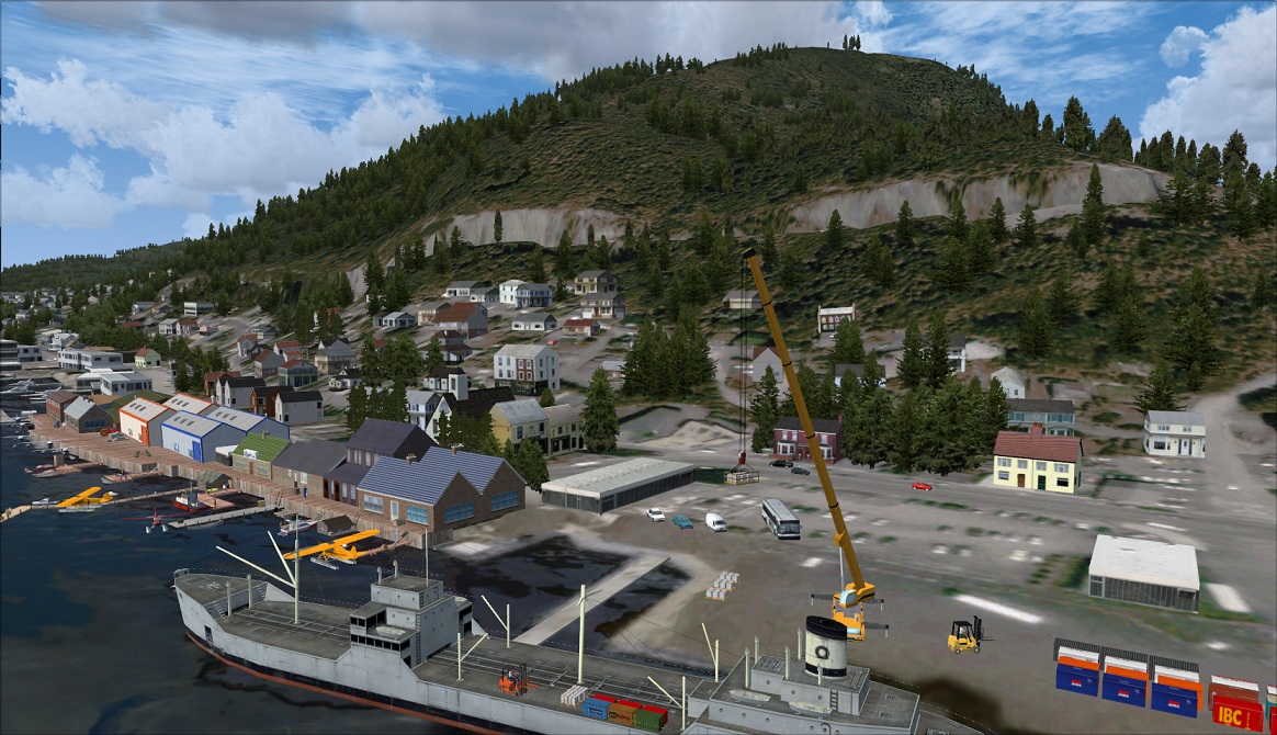 Click to Enlarge
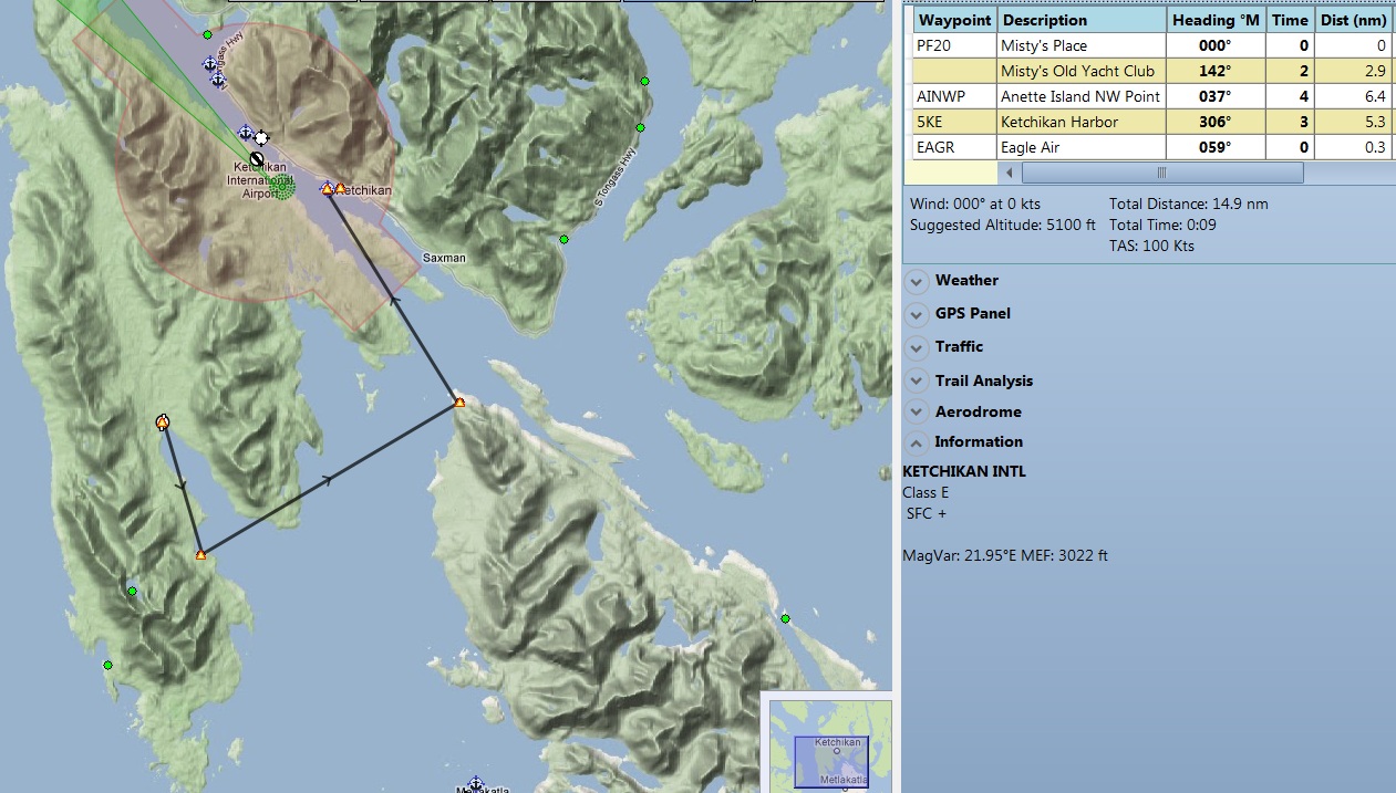
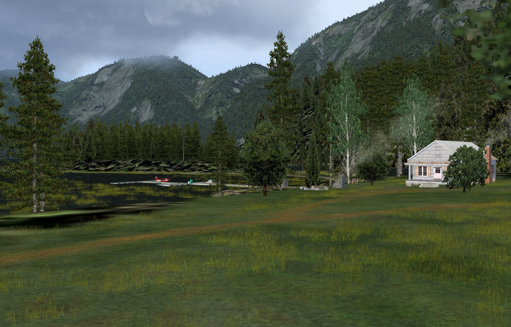 Click to Enlarge
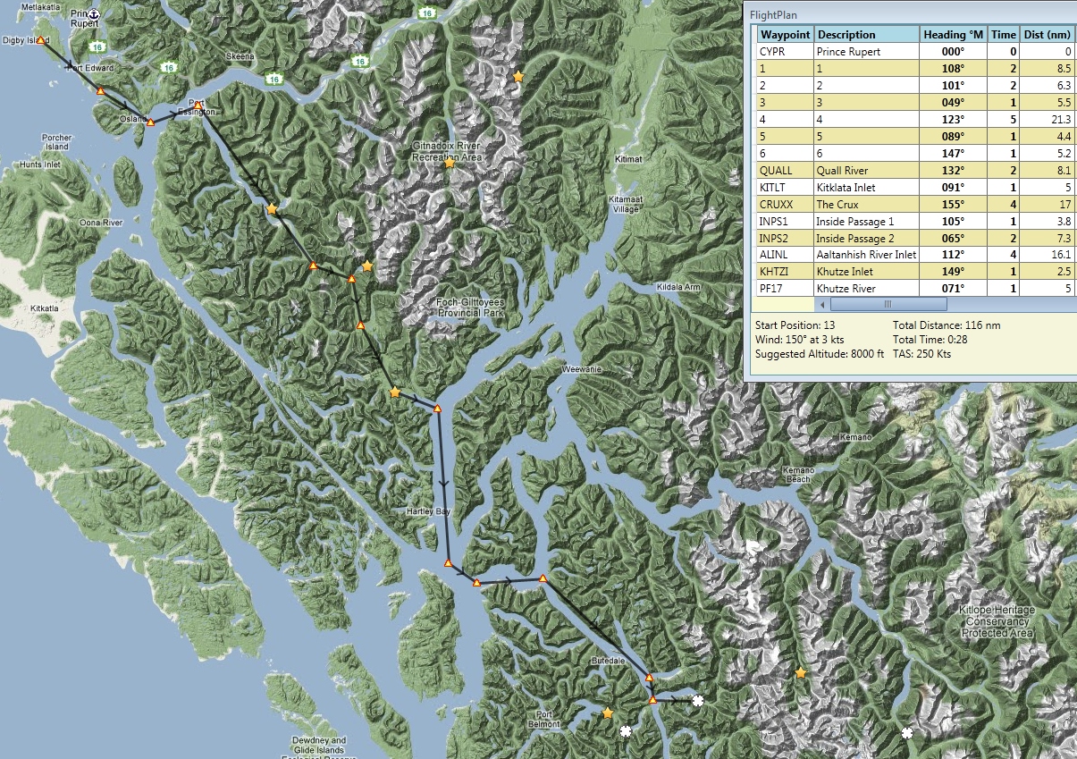
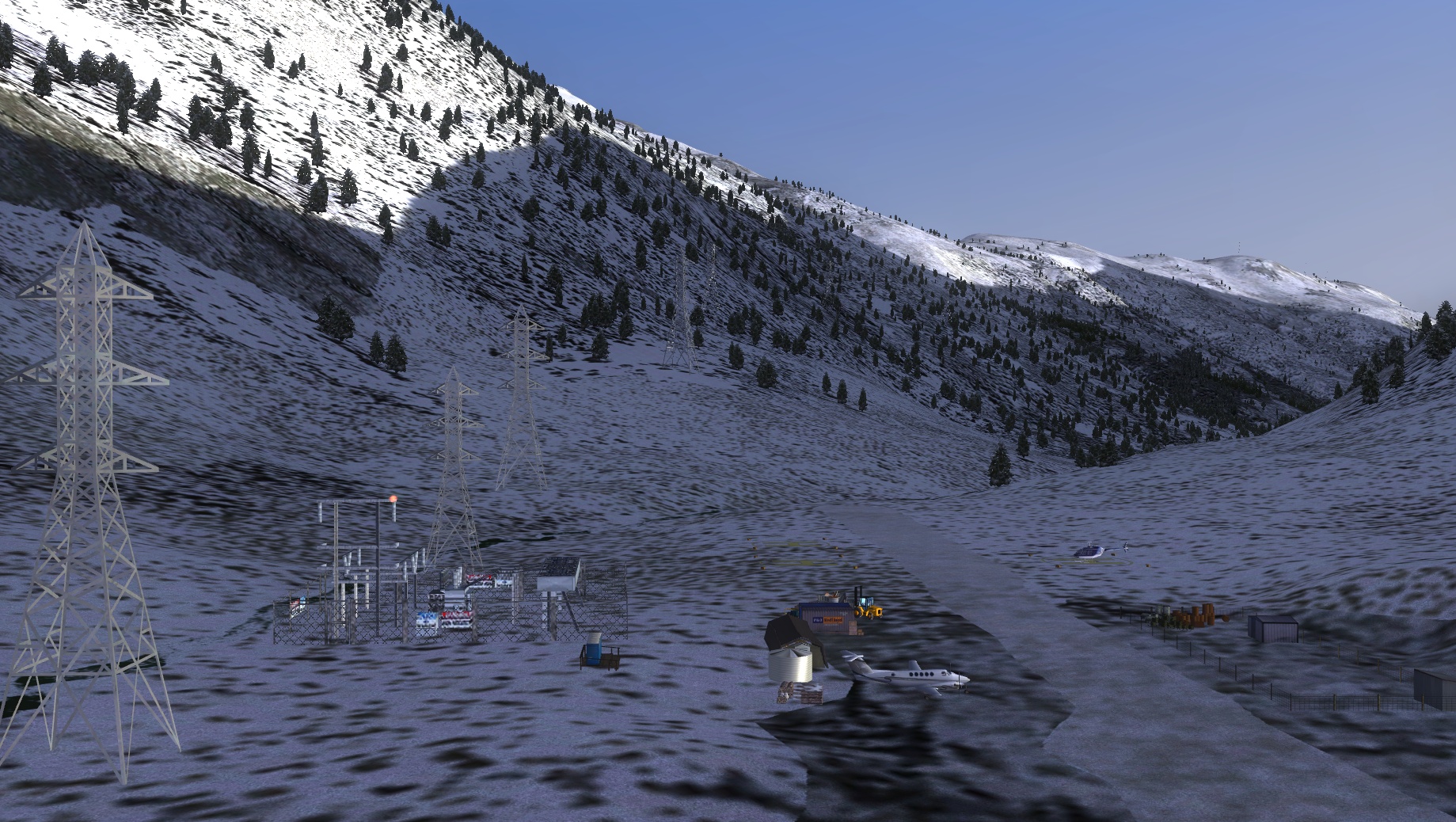 Click to Enlarge
 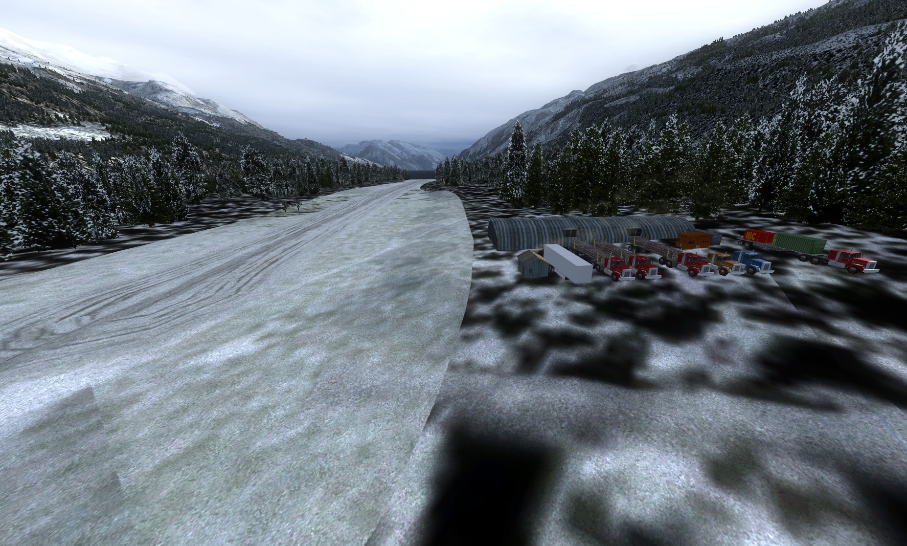 Click to Enlarge
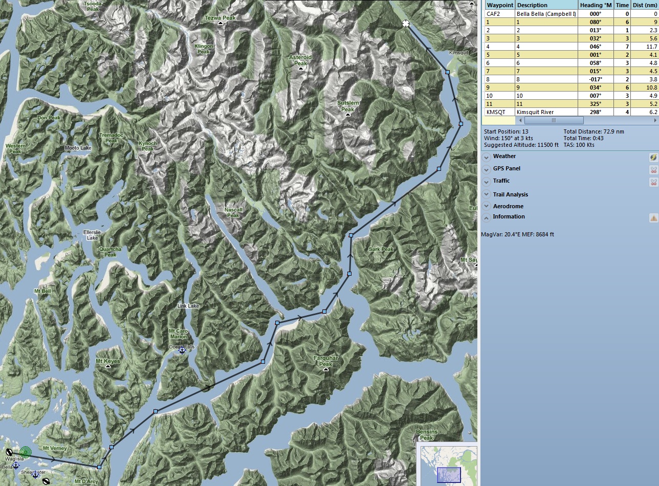
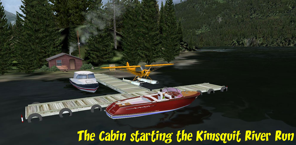 Click to Enlarge
 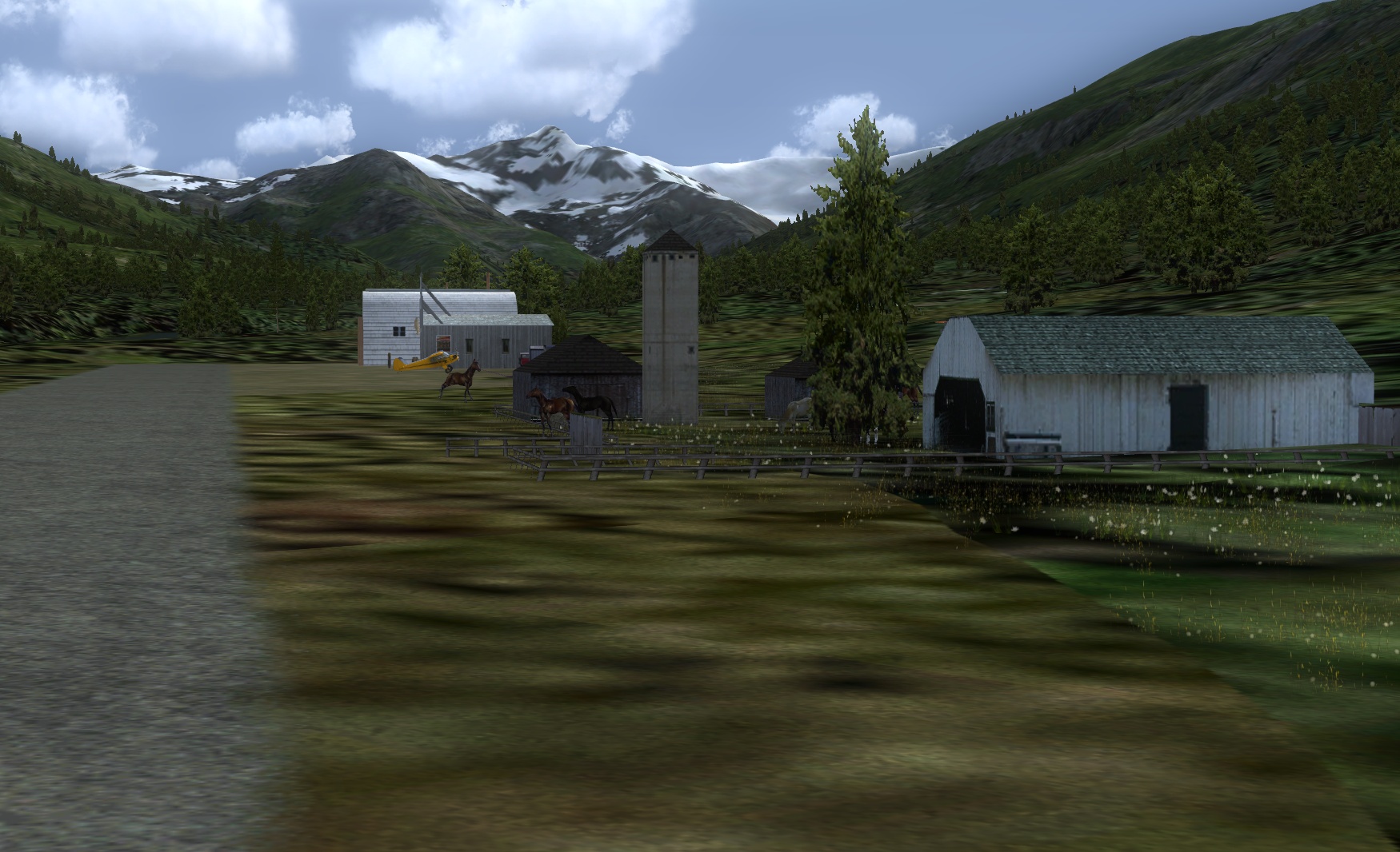 Click to Enlarge
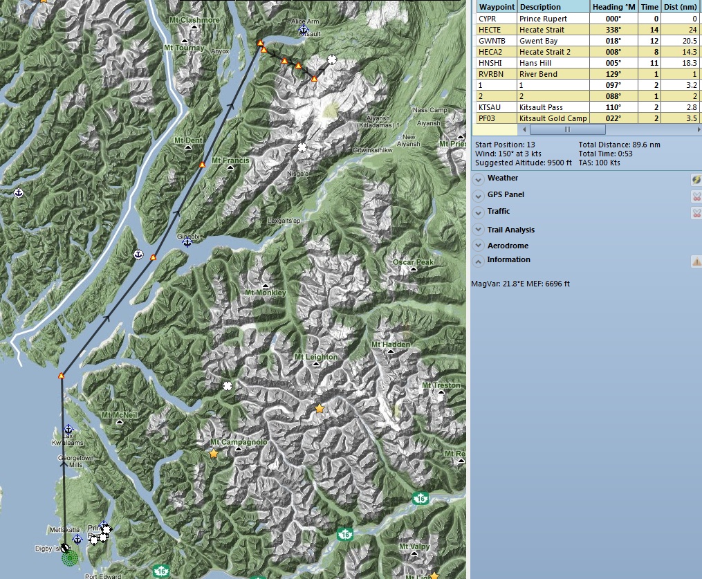
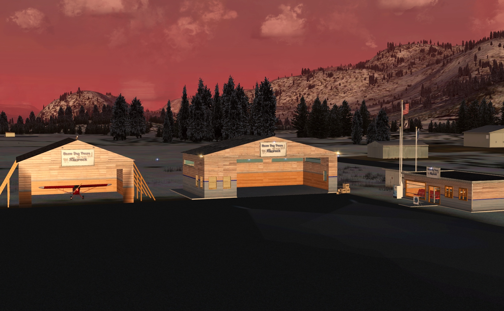 Click to Enlarge
 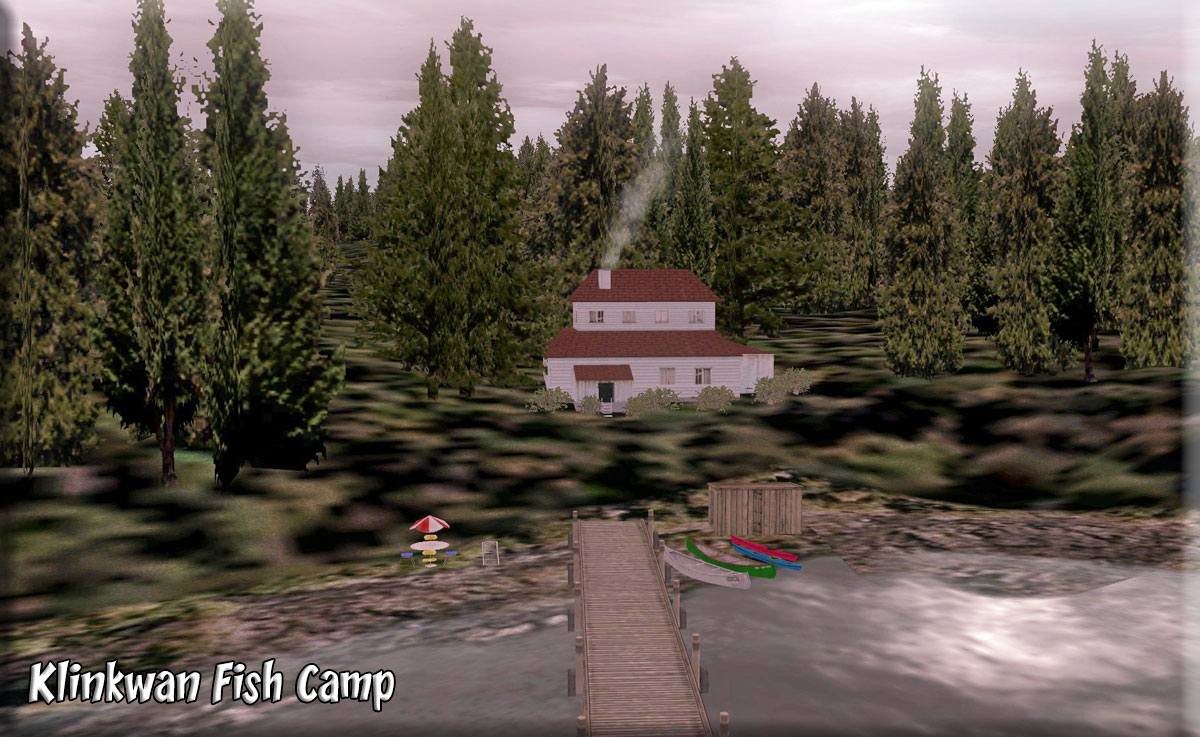 Click to Enlarge
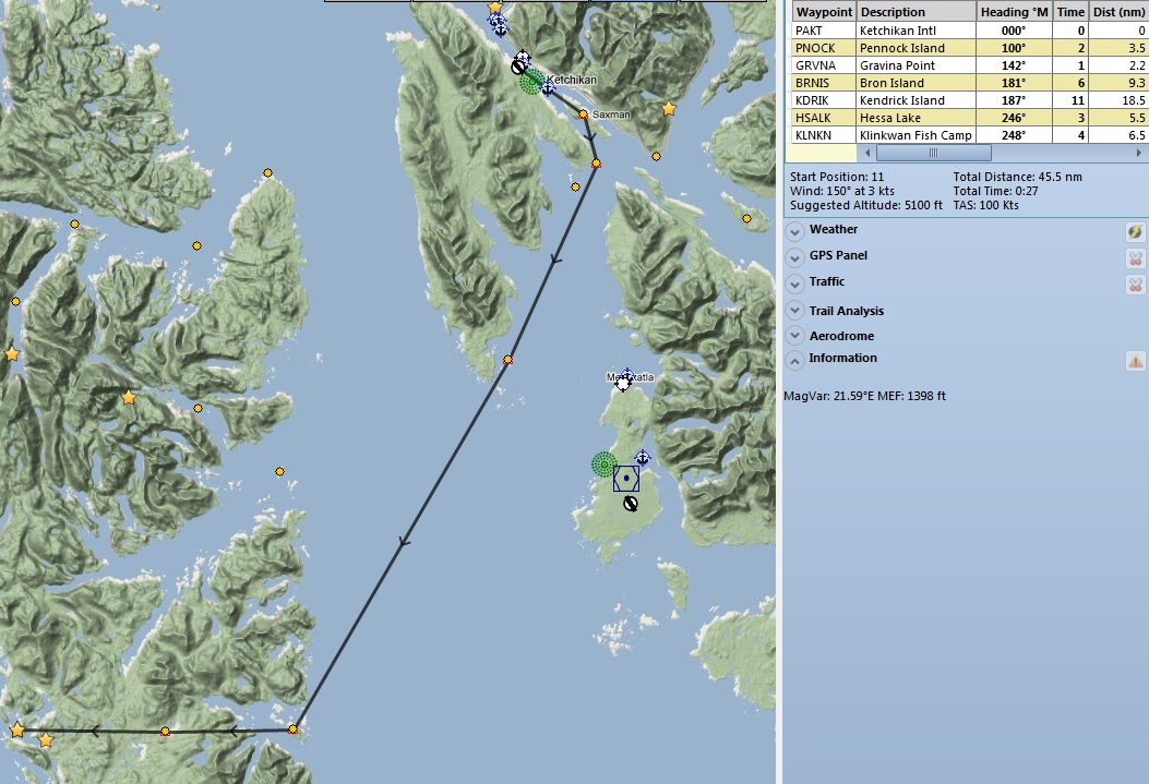
 Click to Enlarge
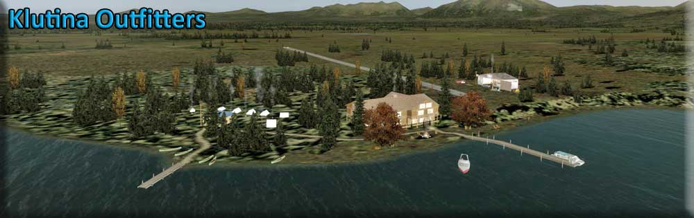 Click to Enlarge
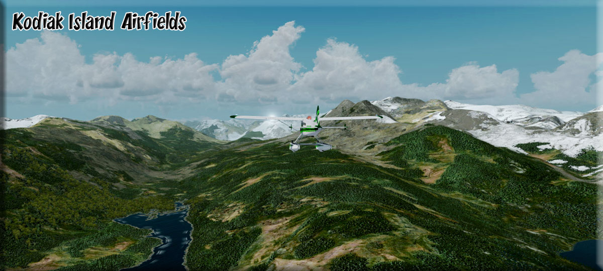
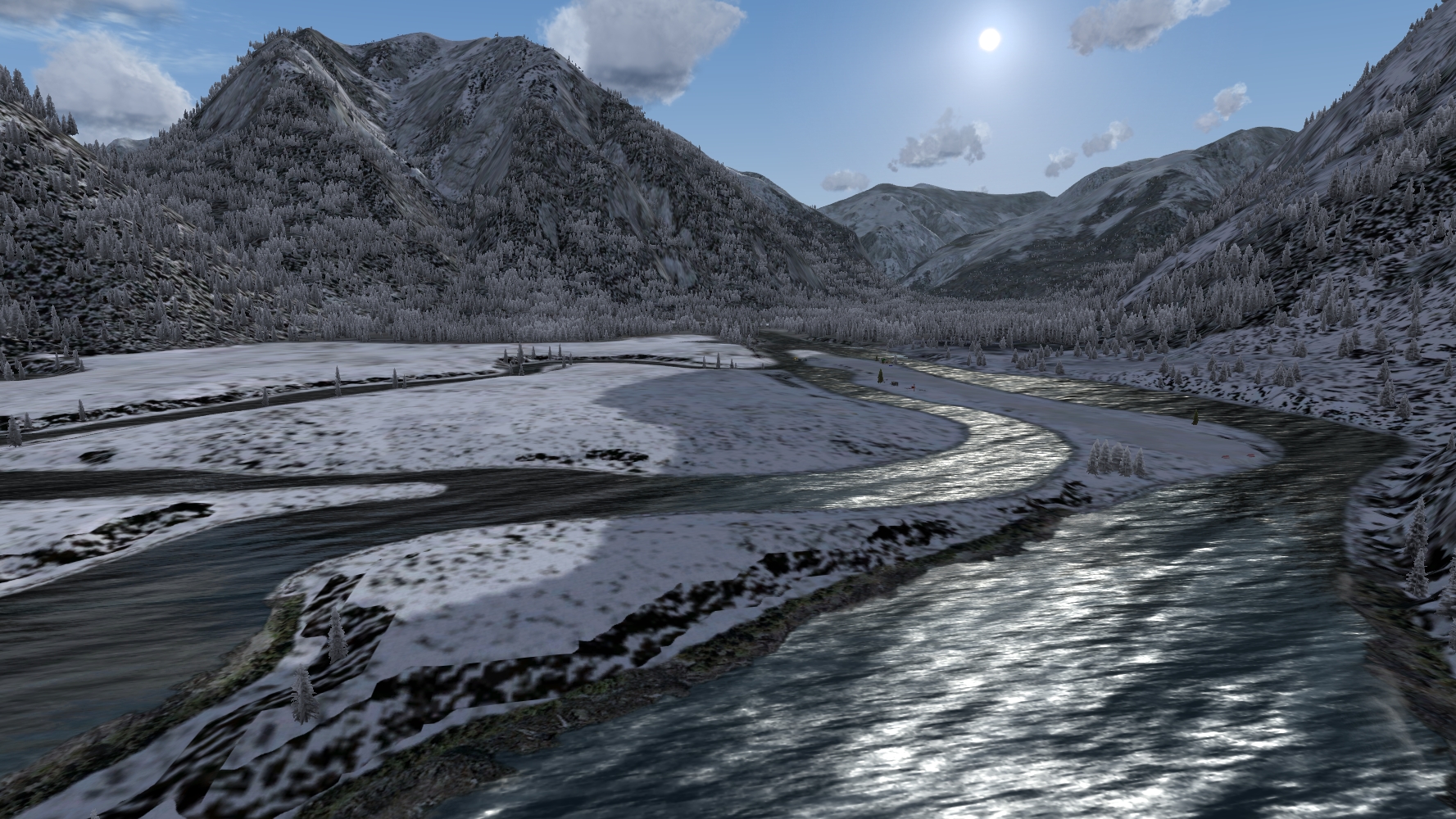 Click to Enlarge
 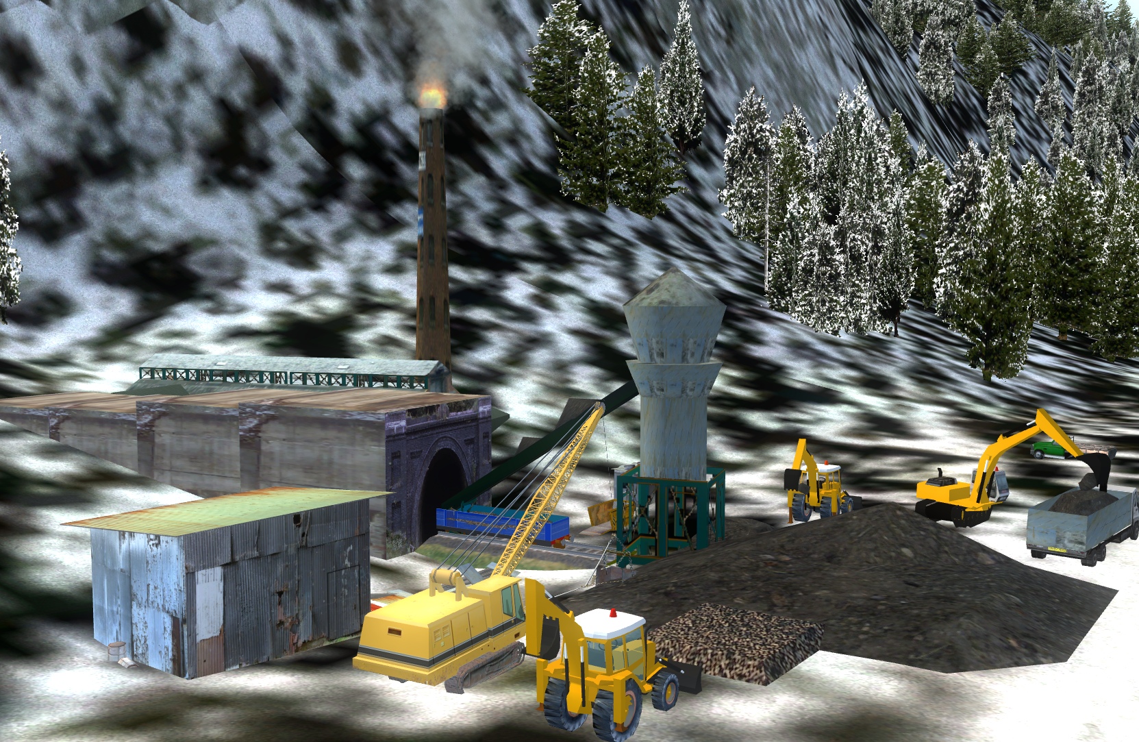 Click to Enlarge
 | L | ||||||||||||||||
|
Labouchere Bay Saw Mill (Refreshed V2.0-06.15.2019) Includes a Brad's BBQ and Hole in the Wall Cabin By Doug Linn, AI Traffic by Dex Thomas Start: N56 18.1628 ... W133 37.2188 ... Mag: 357.6 ... Water ... R166A While looking for the Tongass Fjords Docks, we found the "logs" for the saw mill floating in the water, but no dock. So we made one and added a saw mill that is "chipping" the logs. Trees are "chipped" to small "chips" then loaded onto barges that take the chips to the Pulp Mill. The chips are then put into a "digester" with chemicals and "cooked." This cooking process separates the fibers that are held together with tannins and lignins that are the "glue" holding a tree together. When the chips are "blown" from the Kamyr Digester (the chip cooker), they are now fibers, ready to be washed (brown stock washers) and bleached (if you are making white paper) and sent on to the paper machine. Often, when you come by a paper mill, you notice an odor. Most people, not knowing what it is can find it disgusting. But it is the odor of cabbage cooking. And for a good reason, when you cook cabbage, you are essentially following the cooking process a pulp mill uses to "cook" the trees. The odor coming off is basically the same. So the next time you smell something awful coming from a pulp mill, remember it is cooking trees, and therefore smells like cabbage cooking. Instead of being disgusting, it might actually make you hungry! So we now have a sawmill at RTMM to deal with all those logs we are carrying around on the trucks. There is a helipad available at the Saw Mill. Continuing on the little flight plan, you can fly to "Hole in the Wall" cabin, just around the next point. There you'll find a cabin, campsite and beautiful waterfall.
|
|||||||||||||||
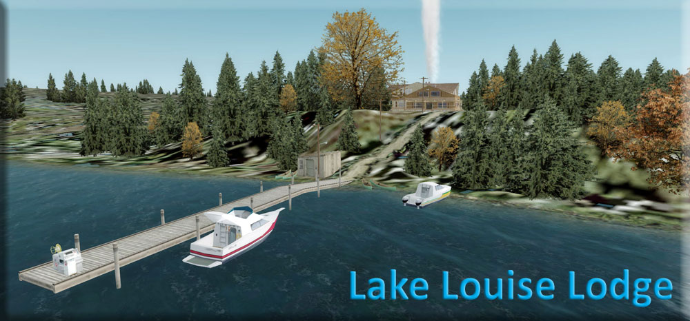 Click to Enlarge Click to Enlarge
|
Lake Louise Lodge (Refreshed 07.22.2020) Scenery Created by Doug Linn, AI Floatplanes by Dex Thomas Start: N62 16.7259 ... W146 30.8913 ... Mag: 154.7 ... Water ... R167A Lake Louise Lodge is a depiction of an actual lodge. It is located 33 miles west of Gulkana PAGK. It has a water landing in front of the lodge and there is a Z55 (Lake Louise) airstrip (actual). This scenery consists of the lodge and cabin and campsites along the southern edge of the lake with a road system that leads to the airstrip. You will also find a water landing near the lodge using sea plane base 13S. You can fly direct to either of these. The AI Floatplanes by Dex Thomas for this scenery are included in the zip. This location uses the RTMM Season Switcher, so be sure you have the correct "Season" in your simulator based on the "month" for that season, see below: Season Switcher Settings for Lake Louise Area The season switcher is set based on the SS table on the left. NOTAM: Amphibian Thin Ice Warning Markers for Amphibians using the Season Switcher for "Winter." ... explanation ... full screen capture NOTAM: This scenery uses the ORBX Global/Vector scenery package. Float Plane Package (only works for NonV5 Version: You can download a float plane package that works with the season switcher. In Season Switcher "default" of noseason.bgl, there is no float plane traffic. In Spring, Summer, and Fall there is float plane traffic and in Winter there is ski plane traffic. PLEASE be sure to read the readme for it carefully. You must have your season switcher and your computer's season set correctly for this to work. There are two versions for this, for those who use P3D V5 and those who do not NonV5. Below is the folder you should download if you DO NOT use P3D V5
Below is the folder you should download if you DO use P3D V5
|
|||||||||||||||
|
|
Landmark Gap Resort PF65 (Refreshed 07.22.2020) Scenery by Doug Linn, AI Floatplanes by Dex Thomas Start: N63 5.9201 ... W146 5.1307 ... Mag: 155 ... Water Start: N63 5.8220 ... W146 5.0994 ... Mag: 312.5 ... Land ... WP: PF65 Landmark Gap Resort is fictional. This resort consists of a central, small lodge and outlying cabins. It is located on Landmark Gap Lake at the foot of the Amphitheater Mountain Range. Going over the mountains takes you to the Black Rapids (5BK) region and flying basically west, you will arrive near the Paxson area (PAXK). This facility can handle heli, float and wheeled aircraft. There is a landing strip behind the lodge with hangar. Fuel is both at the lodge dock and at the airstrip hangar. Season Switcher Settings for Landmark Gap Resort Area ... use the SS table to the left. This package also contains AI Aircraft created by Dex Thomas. To see these, you must have your AI Plane traffic set above 20% and you must have chosen one of the seasons, winter, spring, summer or fall. They do not show in Noseason. Also see the "readme" to be sure you have the correct folders installed. If you have not already installed it, you must install the SAK Floatplane Package. The package is found at: http://return.mistymoorings.com/scenery/#s . Also the BWEP Maule Ski Model Repaint on the BWEP Page under REPAINTS must be installed. This scenery requires Global Base/Global Vector. This is an adjunct scenery location for the BWEP project. This gives people flying the pipeline a place to seek other than just following the pipeline. You will find a dispatch for this location when BWEP Richardson Highway is released. There are TWO versions for this one for P3D V5 users, the other for NonV5 users Below is the zip folder you need to download if you ARE NOT using P3D V5
Below is the zip folder you need to download if you ARE using P3D V5
|
|||||||||||||||
|
Last Resort and Chitina-Kennecott Area(Refreshed V2.0-07.13.2019) Scenery Created by Doug Linn, Editing by Dieter Linde and Guy Marichich Start: N61 6.2333 ... W142 26.7111 ... 181.2 ... Land ... WP: RT01 Airstrip: ICAO is RT01 - Name is Bear Island Airstrip The Last Resort at Bear Island A beautiful resort spread over an entire island in the moraine below the Chitina Glacier. See the readme for all of the locations as parts of this resort. You will find several airstrips already in the SAK (by ORBX) scenery package. So you will be able to fly from any of them to reach The Last Resort on Bear Island. You will find a 224 mile flight-seeing plan that comes with this package as well as a Trip Ticket that will guide you from Wasilla (PAWS) to the Bear Island Airstrip, giving you much historical and geographical detail along the way. (Recommend putting in both locations, then flying the trip ticket from Wasilla to introduce yourself to where this area is). There is also a 64 mile long plan that begins at Chitina for a shorter flight to the Last Resort. Chitina-Kennecott Area This package compliments the "Last Resort" scenery location, giving the sim pilot many places to seek and find in the area surrounding the Last Resort Lodge. Previously, it was a stand-alone package, it has now been combined with Last Resort. This now adds 20 additional locations, cabins, a historical copper mine, other small airstrips ... many of these actually exist on the sectional charts for this area. NOTAM: This package is for the more experienced sim pilots, not good for a beginner. you will be doing VFR navigation without flight plans trying to find many of these locations. Also, many locations need tundra-equipped aircraft and the landing zones are often not fully defined (land where you can). Use the "readme" that comes with this package before you set out for a location. SPECIAL INSTALLATION INSTRUCTIONS:
|
|||||||||||||||
|
Lavender Lake Lodge (Refreshed V2.5-06.15.2019) FSX Airport Name: "Lavender Lake" FSX ICAO Code: "PF04" (PAPA FOXTROT ZERO FOUR) Scenery and Story created by Brad Allen, Airstrip and location by Kim Gowney Start: N55 39.9101 ... W129 25.2200 ... Mag: 181.2 ... Land ... WP: PF04 Lavender Lake Lodge is a fly-in only location. A private residence that also serves as a wilderness lodge for small groups of 8 or less. The lodge was originally built by James Houghton in 1946. Houghton, who made his fortune in real estate after the Great Depression, had the airstrip built right after World War II. He was a collector of aircraft and liked this location as a place to "fly to". Once convinced that this was where he'd like to retire at, the project began in earnest and Houghton flew in all the manpower and supplies needed to build his mountain retreat. When Houghton died in 1976, he left the residence to his wife, Hazel and their two daughters, Mary Jane and Nancy. Hazel gave it the cozy touch it needed to appeal to guests and passed on the tradition to her two daughters before she passed away in 1985. Nancy still lives here during the summer season and runs the day to day operation with her son and daughter, Brad and Suzanne. With a complete kitchen that's open seasonally, the lodge is open to visitors from the spring melt through late fall when the first heavy snows arrive. Brad oversees the lodge maintenance and upgraded the infrastructure by purchasing and installing a windmill. The 1500 kilowatts of energy supplied by the windmill provides enough electricity to supply the lodge with the power it needs. The windmill was flown in piece by piece in 2006 by DC-3. Then assembled at the site and lifted into place by a Sikhorsky S-64 "SkyCrane" helicopter. Brad also carries on his grandfathers tradition by keeping a couple of the family's vintage aircraft flyable for visitors who would like to take a look at the surrounding area from the air. And he flies several different aircraft to keep the lodge supplied during the summer season. Stop by the Lavender Lake Lodge for a great meal, overnight stay, or just to visit this family lodge that welcomes all visitors with a smile. Two possible routes are included in this pack , one leaving from Stewart and flying through an extensive valley system to arrive at the Northern end of the lake, the other leaving from Alice Arm Silver City seaplane base and routing up the rapids and narrow gorge of the nearby river to top out over the strip and lake. There is yet a third route outlined in the Trip Tic that takes you up over Bear Glacier. Remember to see this place in the summer time when it is at it's most spectacular
|
|||||||||||||||
| Little Oliver Creek
(Refreshed V2.0-06.01.2019) Created by Kim Gowney Start: N54 50.2900 ... W128 15.6500 ... Mag: 059 ... Land ... WP: R168A This scenery was devised primarily to present a challenge to the bush pilots skills, it was Brad's idea and a month or so back he asked me to find a place that was hard to approach, in a valley, with a sharp turn around a hill before you see the strip, I looked for some time before I found this place. In something like a piper cub this will not present a great challenge, but once you get above 70 knots landing speed this is no push over. As set out below, the reason for flying to such a dangerous spot, why else? Money! People want to go here to see the sights mentioned below and need supplies for camping trips, a couple of small cabins are occupied by folks who help out at the strip when it gets busy, there are numerous people to find as they head off up the valley to see the sights. PF12 LOC is also special in that it has the first sloping strip in the RTMM scenery enhancements, yes! The ramp end of the strip is higher than the lower end. The beauty of this is that it allows the strip to fall at the same incline as the creek, a level strip at this place would get you a 30ft cliff at the lower end, but as a sloper it looks far better. Set 25nm to the NNW of Terrace Little Oliver Creek is a popular destination for Ice Climbers in the winter time, Little Oliver Creek is not an easy place to access, involving a fair hike before you reach the main attractions, the spectacular Ice Falls. However there is a narrow strip of flat rocky terrain that runs alongside the waterway that give a quicker access to the main trail for exploring the delights of the creek, approach to this "runway" can only be made from the Terrace end of the valley as it is blocked by a mountain the other way, take offs are best from the opposite end, so wind conditions are a major factor in the accessibility of this place. The approach is also blind as you will be making a steady left hand turn while you fly in at treetop height up the river valley waiting for the strip to appear. The strip is not silly short, having just over 1000ft of usable space, but the approach and timing make it seem a lot shorter. Make sure your brakes are well serviced!
|
||||||||||||||||
|
Little Port Walter Marine Station (Refreshed V2.0-06.15.2019) Scenery and Storyline created by Brad Allen and Rod Jackson AI Boat traffic and AI Seaplane traffic by Dex Thomas Start: N56 22.98...W134 38.86...Mag: 240 ... Water ... R169A Little Port Walter (LPW) Marine Station is a research unit of Auke Bay Laboratories located 110 miles south of Juneau near the southern tip of Baranof Island. LPW is the oldest year-round biological research station in Alaska and has been host to a wide variety of fisheries research projects since 1934. The station celebrated its seventy-fifth anniversary on 31 July 2009 in recognition of the many important contributions to fisheries science resulting from the 75 years of research conducted at the facility. LPW marine station is located on U.S. Forest Service land in Tongass National Forest and is accessible only by boat or floatplane. The station is in a small estuarine bay adjacent to Chatham Strait near the open Gulf of Alaska and is ideally suited for a broad range of studies on Alaska's fisheries. Sashin Creek with natural runs of salmonids flows into the head of the bay where daily counts of salmon entering and leaving the stream are made. These and other LPW studies provide important long-term data sets to help NOAA Fisheries better understand affects of climatic changes on fluctuating populations of marine resources. Two NOAA Fisheries families live at LPW year-round. Other NOAA scientists periodically commute from TSMRI to conduct research projects. During peak seasonal periods 20 researchers and support staff may be living and working at LPW. Research facilities include an experimental hatchery with freshwater, saltwater raceways and marine net pens. Two laboratories include a behavior laboratory capable of detailed observation on species in fresh water, salt water, or simulated inter tidal environments.
|
|||||||||||||||
|
Lucky Lindy's Place (Refreshed V2.0-06.15.2019) FSX Airport Name: "Lucky Lindy's Place" - FSX ICAO Code: "PF05" Scenery created by Brad Allen, Airstrip Code by Kim Gowney Start: N55 39.3399 ... W131 21.1900 ... Mag 254 ... Land ... WP: PF05 Welcome to Lucky Lindy's Place. Not far from Ketchikan is a nice retreat for pilots and guests alike. There's a suitable dirt road for landing small bush planes here. All pilots MUST stop in and visit the office to leave your aircraft keys with the staff. We ask this because we know some pilots like to get a little too friendly with the lady's here and after having one too many cold one's, we make sure nobody gets in the cockpit unless they're in flying shape. There are adequate places to "Sleep it Off" here so if you get too "bubbly" just find a bunk and a bucket. We'll check on you to make sure you're still breathing. Our resort guests stay in rustic wood cabins and our resort transportation is provided from the office to the cabins by the "Old Gray Mare" A 1963 Gray "Blue Bird" bus. For the solitude and peace of our guests, we offer no phone or TV in the cabins. There is no smoking permitted inside Lindy's. The restaurant and bar are known for great trout and salmon meals. Our kitchen staff bring classic country cooking and local recipes for wonderful breakfast, lunches and dinners. Ask about our "Mad Scrambles" or try a lunch with homemade Chili and a big piece of Chocolate cake. Saturday night dinner is by reservation only and must be booked in advance. The resort is fully licensed. "Last Call" in the bar is normally around 11 PM or thereabouts Friday and Saturday nights. Friday night the grill is open with soups and sandwiches until 11pm. Come and have a drink by a warm fire.
|
|||||||||||||||
 Click to Enlarge Click to Enlarge
|
Luelia Lake Cabin (Refreshed V2.0-06.15.2019) Scenery by Doug Linn Start: N55 3.9587 ... W132 11.5395 ... Mag: 037 ... Water ... WP: R170A The cabin is just a short trip from Misty's Place (and Ketchikan). It is located on Luelia Lake near the Moria Sound on Prince of Wales Island. In a direct line, the location is about 19 miles on a heading of 213 magnetic from Misty's Place. You'll find a small cabin on a small island in a small lake (Luelia Lake). The landing surface altitude is at 970 feet. The best approach on final is from about 2300 feet on a heading of 343 magnetic. Be sure to land slowly as there is a ridge at the far end of the lake that can be difficult to clear if you miss the landing. (The surface of the lake does not freeze in winter). The flight plan starts you at Misty's Place by the fuel depot (on land) and ends at Luelia Lake (water) so you should use an amphibian. You'll find a dirt path for the ATV's all around the island. Across from the cabin is a stream leaving the lake. If you follow the stream, it cascades into two lakes as it makes its way down to Moria Sound.
|
|||||||||||||||
|
Lynn Canal and Chilkoot Inlet (Refreshed V2.0 -12.12.2021) Scenery and Storyline created by Brad Allen Start: N59 10.4651 ... W135 28.2896 ... Mag: 305 ... Land ... WP: R171A Lynn Canal runs about 90 miles (140 km) from the inlets of the Chilkat River south to the Chatham Strait and into the Stephens Passage. At over 2,000 feet (610 m) in depth, Lynn Canal is the deepest fjord in North America and one of the deepest and longest in the world as well. The northern portion of the canal braids into the respective Chilkat, Chilkoot, and Taiya Inlets. Lynn Canal was explored by Joseph Whidbey in 1794 and named by George Vancouver for his birthplace, King's Lynn, Norfolk, England. Chilkoot Inlet is an inlet located on the eastern side of the Chilkat Peninsula in Lynn Canal. Chilkoot Inlet is the terminus of the Chilkoot River and its watershed, and also home to Lutak, Alaska. It was first charted in 1794 by Joseph Whidbey, master of the HMS Discovery during George Vancouver's 1791-95 expedition. This scenery enhancement adds several locations of interest along the two main waterways near Haines Alaska and covers area between Juneau and Skagway.
|
|||||||||||||||
| Back to Top | ||||||||||||||||
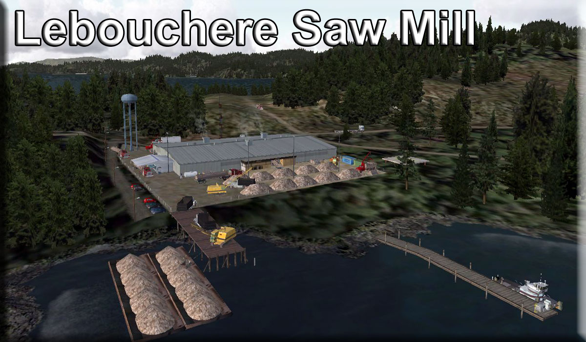 Click to Enlarge
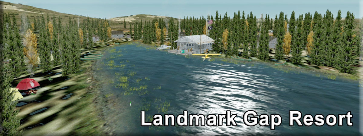
 Click to Enlarge
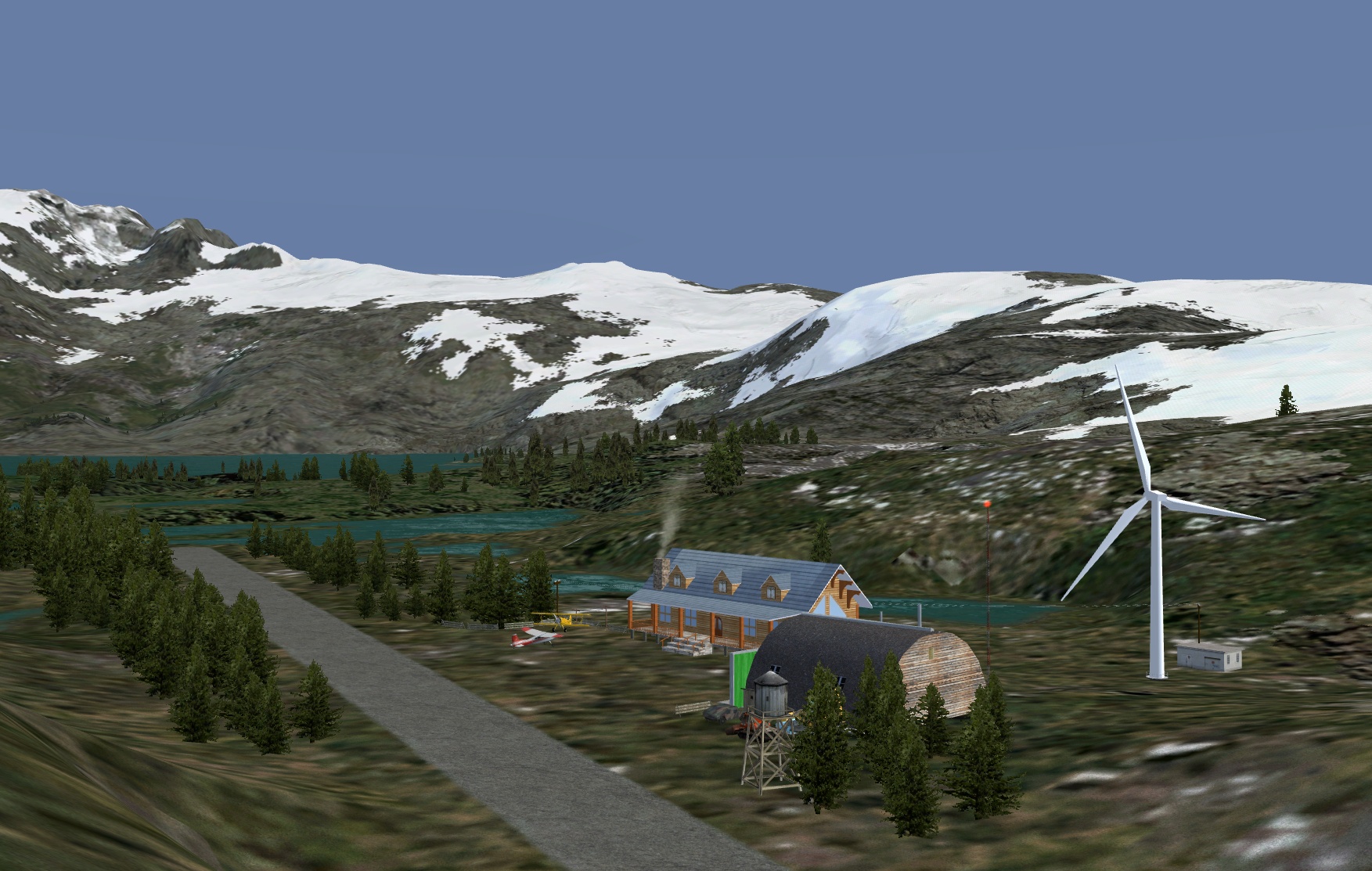 Click to Enlarge
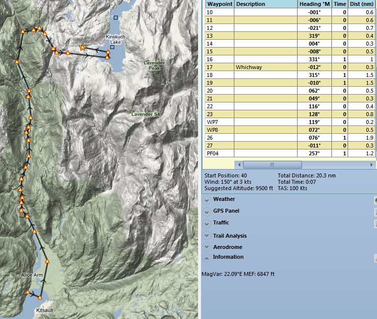
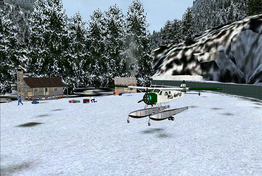 Click to Enlarge
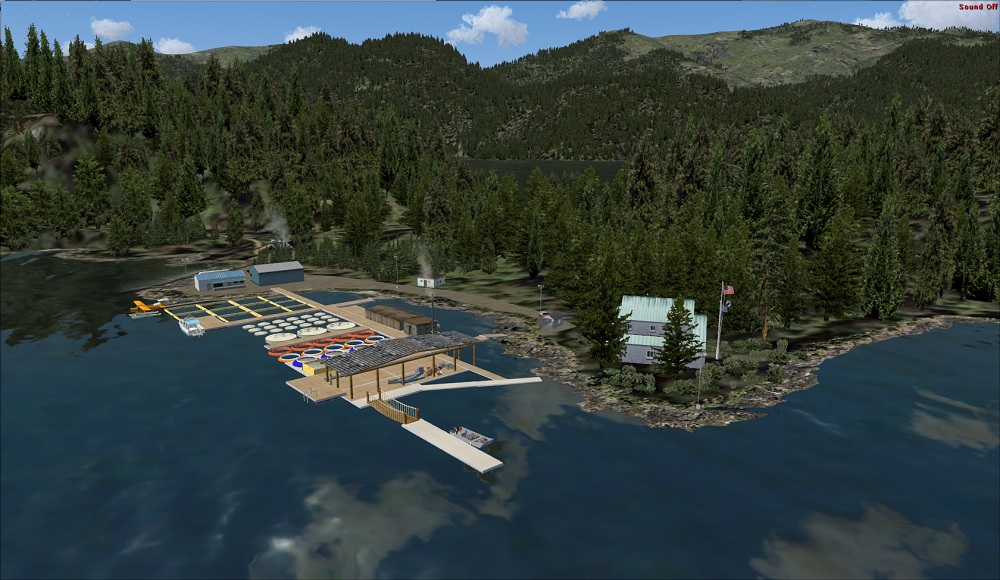 Click to Enlarge
 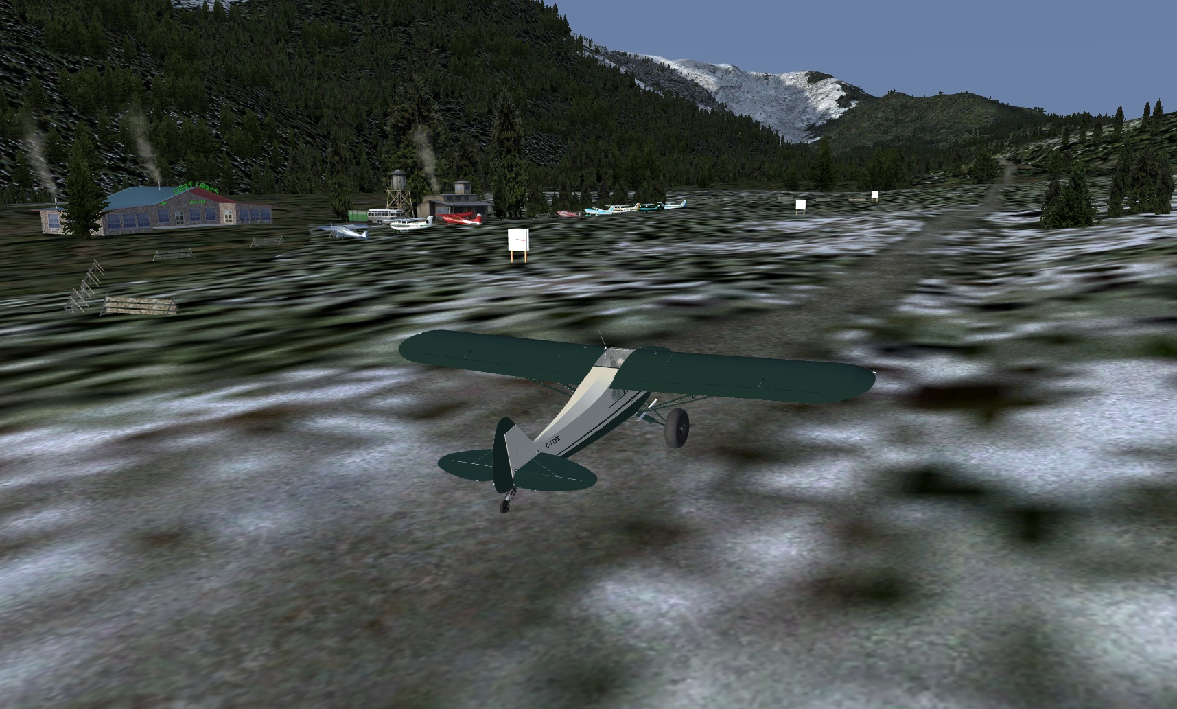 Click to Enlarge
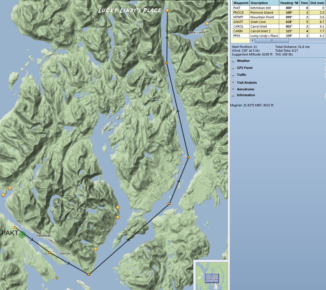
 Click to Enlarge
| M | ||||||||||||||||
|
Magic Bus 142 (Refreshed 08.05.2020) Created by Thomas Menzel Start: N63 52.0855 ... W149 46.0880 ... Mag: 315 ... Land ... R172A You probably know the phrase, "He doesn't say a lot, but, boy, when he does, you'd better listen.". Well, Thomas may not have created as many sceneries for RTMM as Doug or Brad, but when he does you'd better go see it! Thomas did a GREAT job on this scenery package and the associated Healy River Airstrip which is the start point of the RTMM flight plan to the bus. The Healy River stand alone package is an EXCELLENT rendition of the facility at both day and night and we urge you to install it. In this scenery package, the bus is 21nm/39km west of Healy River Airstrip [HRR] and 107nm/198km west of Delta Junction "D66" (Pipeline). Heli landings are straightforward and fixed wing landings can be tricky, but possible. A smoky campfire will help you find the bus. Another fire is set on the south point of the western lake for orientation. Approach should be performed from the south at bearing 325°, 2000ft/610m and slow! See the screenshots in the zip folder. As you close in on the bus, remember accidents can happen any time in the Alaskan bush and you may need to render assistance.....looks like another hiker has met with misfortune. The location, or perhaps more accurately, the 1946 International Harvester bus abandoned in 1961, is famous for being the final home and resting place of Christopher Johnson "Chris" McCandless (Feb 12, 1968 – ca. Aug 1992), who was an American traveler, aka "Alexander Supertramp". After graduating from college in 1990, McCandless traveled the United States and hitchhiked to Alaska in April 1992 where he set out along an old mining road known as the 'Stampede Trail'. He carried minimal supplies, intending to live simply, 'off the land'. Almost four months later, McCandless' decomposing body, weighing only 66lbs/30kgs, was found by hunters in the converted bus [number 142 of the Fairbanks City Transit System] which was used as a backcountry shelter along the Stampede Trail, on the eastern bank of the Sushana River. The cause of his death was officially ruled to be 'starvation', although this remains the subject of some debate. Some say he mistakenly ate a poisonous plant. His story was the basis for a book in 1996 by Jon Krakauer and an award winning movie in 2007 by Sean Penn, both titled 'Into the Wild'. A road trip documentary on McCandless' journeys was made in 2007, called 'The Call Of The Wild', by Ron Lamothe, which provides alternative explanations to those in the book and film. Another book, 'Back To The Wild' was published in 2011 and another documentary 'Return To The Wild: The Chris McCandless Story' aired on PBS in November 2014. The successes of the first book and film 'inspired' many people to venture into the Alaska wilderness on a quest to find the bus. Two persons were drowned trying to cross the Teklanika River, doing just that. On 18 June 2020, the bus was airlifted out by a National Guard Chinook helicopter because authorities said too many inexperienced hikers were getting lost, trapped or injured in their attempts to find it and our scenery reflects this sad fact. Watch this video of the airlift here: "https://www.youtube.com/watch?v=2jFUK9bjatQ&feature=youtube". There are many other related videos on YouTube if you wish to learn more about the bus and Mr 'Supertramp'. Whether or not one agrees with the decision to remove 'The Magic Bus' [as McCandless called it], in the real world, and whether or not he was foolhardy, RTMM's scenery will continue to show bus 142 at this location in memory of the wild spirit of a true, but unfortunate, young adventurer and lover of nature. A man after our own hearts...... Author's Note: The Sushana River is not present in ORBX LC NA/ Canada and Global Vector in no season, it should be between the two lakes. The Stampede Trail can partly be seen. Start your trip from HRR Healy River Airstrip and head to the Magic Bus 142 location using the way point MBUS in your GPS. The HRR strip is AI operational, a BWEP Maule pattern is established. FSX/P3D RTMM Season Switcher - This location uses the RTMM Season Switcher. Be sure you set your seasons correctly as they are a little different in this part of the world. The season switcher is set based on the Season Switcher Table. NOTAM: Healy River Airport was included in the original version of Magic Bus 142. Because of the changes with P3D V5, a special bgl was created and Healy River Airport is now a separate entity.
|
|||||||||||||||
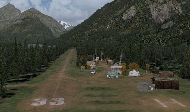 Click to Enlarge Click to Enlarge
|
Maloney's Tavern (Refreshed V2.0-06.15.2019) Originally created by Urs Burkhardt April 2005. (ICAO CBMT) Converted for FSX or P3D by Mike Broemme, November 2015 Start: N55 38.6895 ... W129 47.8514 ... Mag: 256.8 ... Land ... WP: CBMT Maloney's Tavern/CBMT is a fictional area just 20 miles southeast of Stewart/CZST situated at the end of Hastings Arm Fjord at the mouth of Kshwan River. Here you find a tiny settlement and a 2600 ft grass/sand dirt strip. This airfield is privately owned but open to the public. No landing fees charged. Maloney's Tavern itself is famous for serving finest American Rye Whiskeys and mouthwatering steaks. Of course you will get a fresh beer here. Small outpost offices of PNW Backcountry Pilots, Hardy Aviation, Alaska Sky Service and Bush Pilots Airlines are on site. A small hangar capacity for light aircraft maintenance on your own management is usable. Equipment and tools are on hand. Standard types of oil and lubrications can be purchased. Fuel is not in stock. There are several cabins for rent and a mixed sauna is in use. An old seaplane dock and a ramp for amphibs are available. ("to be used at pilot's own risk") A visit is well worth for those who like the charm of an old style village or exploring an untouched nature landscape. Kshwan River is an ideal habitat for various fish species, a paradise for anglers. Also hunters will get their money's worth. Be aware, there's a grizzly bear in area who seems to be accustomed to humans. Caution is always called regardless, he's still a wild animal. He usually "inspects" the area twice a day looking for food. So put your garbage in the receptacles intended for that purpose. Visitors should pay particular attention to the yellow bear warning signs.
|
|||||||||||||||
| Masset Inlet Cabin (Updated 06.02.2019) Scenery and Story created by Brad Allen Start: N53 36.6146 ... W132 25.4620 ... Mag: 325.5 ... Water ... R173A A secluded cabin with small pier located on Sandspit Island. It's in the Masset Inlet estuary and the real attraction here is the flight down the estuary into the bay. Masset Inlet is a large saltwater bay located in the heart of the lowland of northern Graham Island, the northernmost and largest island of the Haida Gwaii islands on the North Coast of British Columbia, Canada. It is fed by several rivers, the largest of which is the Yakoun River, and is connected to the open sea of the Dixon Entrance by the narrow Masset Sound and Masset Harbour, which opens onto McIntyre Bay. The communities of Port Clements and Sewall are located on the shores of Masset Inlet. The community of Juskatla is located on Juskatla Inlet, the largest of Masset Inlet's sidewaters. There are several islands in the inlet, the largest of which is Kumdis Island, at the inlet's egress to Masset Sound and just north of Port Clements. Masset Inlet helps form the isthmus of the Naikoon Peninsula. "Masset" comes from the Haida word, Masset or large island. Did you know that the largest log barge in the world operates in Masset Inlet and Masset Sound? Landing Surface: Water (Does not freeze in Winter)
|
||||||||||||||||
| Mesa Lake Cabin (Updated 04.25.2020) Scenery and Story created by Brad Allen Start: N55 23.2835 ... W131 6.9636 ... Mag: 249.2 ... Water ... WP: R174A Mesa Lake Cabin (Updated 06.02.2019) Mesa Lake Cabin is a medium size cabin on the southern shoreline of Mesa Lake which itself is located in the heart of the Misty Fjords National Monument at an elevation of 413ft/126m. The area is called "The Yosemite of the North" for its similar geology. For more information on this area, go here:'https://en.wikipedia.org/wiki/Misty_Fiords_National_Monument'. This location is tricky to get into and out of and only experienced floatplane pilots should land here. Notwithstanding, if you're up for the challenge, go for it! The cabin is situated on a small peninsula of land and surrounded by trees, making it difficult to spot - look for the chimney smoke! As we said, there is a high level of difficulty in making a safe landing so make sure you overfly the area and get your bearings before attempting to touch down. Once you're on the water, taxi over to the small dock close to a couple of kayaks. The RTMM flight plan takes you close to the cabins at Big Lake and Gochakin Lake*. If you're using Plan 'G' with Dieter's POIs you will see the location of these cabins marked with a green dot. In fact, you'll notice there's quite a few other locations [shown with either a gold star or green dot] in the flight plan areas that will make worthwhile diversions to your trip such as Fish Creek Cabin [not included in this scenery package**], located about 3 mi/5km to the south west. The mooring buoy there is available on a first-come, first-serve basis. We wish to draw your attention to this location because there isn't any discrete RTMM scenery as such, it is part of a multi-location package and you might miss out on it. See below for more information. *NOTE 1: The TripTic contains specific directions to Big Lake and Gokachin Lake Cabins. If you decide to fly using the 'TripTic' you will note that you will fly more or less south to north to the Thorn Arm area, whereas the flight plan takes you from west to east. This route starts at the sea plane base at Metlakatla and to get the most out of it, we urge you to install the Big Lake Cabin and Gokachin Lake Cabin scenery packages. **NOTE 2: Fish Creek Cabin is included in RTMM's 'Cabins By The Lakes II' scenery package.
|
||||||||||||||||
|
Metlakatla Jetty (Refreshed V2.0-06.15.2019) By Doug Linn Start: N55 7.7557 ... W131 34.9923 ... Mag: 216 ... Water ... WP: R175A Metlakatla is about a five minute flight from Misty's Place and a 10 minute ride from PAKT. It is an interesting harbor, and changes significantly if you are running your sim's complexity at "Extremely Dense" or "Very Dense and less". The marina that can be seen in Extremely Dense does not appear with a lesser setting ... but it is still there and you can "physically run into it" if you cross the lagoon. The channels around the problem area are clearly marked to give you a right-turn to Brad's BBQ or a left turn to the Diner. A park with picnic tables have been added along with other land and water-scaping.
|
|||||||||||||||
| Meziadin Lake Campground (Updated 06.02.2019) Scenery and Story created by Brad Allen Start: N56 5.1501 ... W129 18.3600 ... Mag: 169 ... Water ... WP: R176A Part of the Meziadin Lake Provincial Park, this campground is a favorite for those on the road who are looking for some of British Columbia's beauty. It's just a short flight from Stewart and is in a beautiful location. Meziadin Lake Campground is an excellent location for canoing or kayaking and offers beautiful views of the surrounding landscape. Meziadin Junction is an important location on The Stewart-Cassiar Highway. The SCH is officially called Highway 37 and is the longest and most remote drive running nearly 500 kilometers (300 miles) through the vast wilderness of northwestern BC on its way to the Yukon. A more challenging drive than the famous Alaska Highway to the east, the Stewart-Cassiar is every bit as beautiful as it threads its way through endless forests, alongside wild rivers, and beneath the colorful Skeena and Cassiar Mountains. Long stretches of gravel and the lack of services along the way make for an adventurous drive. A floatplane and boat dock greet arrivals here. The small island just offshore is a favorite location to spend some time alone in the vast beauty of this area. Also there are cabin's nestled into the surrounding woods on both ends of the campground. Look for the telltale wisp's of smoke from the chimney's and fires the campers have going. Landing Surface: Water (Will freeze in Winter)
|
||||||||||||||||
|
Miller Lake (Refreshed V2.0-06.15.2019) Scenery Created by Doug Linn Start: N55 8.4145 ... W132 13.3698 ... Mag: 078.1 ... Water ... WP: R177A Just a nice place to fly to while visiting the Prince of Wales area. This location is on an island in Miller Lake. It consists of a cabin, canoes ... just all those things you'd like to have when you go there in real time. It is about 2 miles from Aiken Creek Cabin and two miles from Dan's Hideaway. Visiting all three is makes a nice trip.
|
|||||||||||||||
|
Misty Gustavus (Refreshed V2.0-06.15.2019) Scenery Created by Doug Linn Start: N58 25.4039 ... W135 42.6728 ... Mag: 74.3 ... Land ... WP: PAGS Gustavus Airport is a perfect location for Misty Moorings Air Taxi Service that can handle flights into Glacier Bay National Park. There is also a small Medical Center at this new complex which can handle medical emergencies from the area. We've added several small scenery locations to this package to give you places to visit in the Glacier Bay area. The Readme has all the details. There is also a TRIPs folder that gives you plans for these outlying locations: • Adams Inlet Cabin
|
|||||||||||||||
| Misty Moorings Oil Platform Services (Refreshed V2.0-06.02.2019) (RTMM MM Ops)by Doug Linn Start: N60 33.0226 ... W151 15.8159 ... Mag: 169.1 ... Land ... WP: R178A ORBX SAK also includes Oil Platforms out in the water ... these are found near Kenai. This package gives you the "MM Ops" scenery location. You can use a short dirt strip, helipads (3), or docks for floatplanes or ships to "service" the oil platforms. The location is about 1.4 miles from the Kenai Municipal airport. Included in the package is a list of the rigs and their relative location from VOR ENA (Kenai). You can set your course and the VOR will guide you and your DME will tell you the distance. It is all explained in the readme. The "mooring/starting" positions are in the readme. The Dispatch gives you a visit to all of the airports in the Kenai area. There is a flight-seeing plan you can download from the dispatch.
|
||||||||||||||||
| Misty Moorings River Contest (Refreshed V2.0-06.02.2019) Scenery and Storyline by Xavier Carre Start: Use Dean River Airport (PF32) ... WP: PF32 A new challenge ! Misty Moorings is proud to organize our first river contest. On Dean river, close to PF32 – Dean River lodge, this is a challenging competition : air boat race, and jumps. Are you ready ? So get your air boat, and follow the Dean River, or take off from PF32 and reach the contest village by seaplane. Read the "pdf" file on this one. HERE.
|
||||||||||||||||
|
Misty Moorings Air Taxi (Updated 05.22.2020) Scenery by Doug Linn Start: N61 34.2765 ... W149 33.0698 ... Mag: 352.4 ... Land ... WP: PAWS With SAK (ORBX South Alaska) added, Misty is expanding her services to her customers with a small air taxi service based at the Wasilla (PAWS) airport. This services over 130 small airstrips (community and commercial) that are in the Anchorage area. For a bush pilot, this can be a lot of fun. Hops sometimes last only for 2 or 3 minutes to go to the next location. You will need ORBX SAK for this. It is recommended you have the Aerosoft Beaver and use the "Tundra" version. See PDF readme file here.
|
|||||||||||||||
| Misty's Old Yacht Club (Refreshed 06.02.2019) Scenery and Story created by Xavier Carre' and Brad Allen Custom objects by Xavier Carre' Start: N55 12.9379 ... W131 44.8112 ... Mag: 316 ... Water ... WP: R179A While you fly to Misty ‘s Place, PF20, on approach from the south, keep a look out along the coast. Because just a few miles from the runway at Misty's Place, you can see off to the port side, several shipwrecks and nestled into the small bay an old marina. On fair weather days, you may see one or two sailboats sailing in the fjords. You have found Misty’s Old Yacht Club. A yacht club? Yes, in fact, many years ago, a small yacht came here during a storm to find a refuge. It was a long time before construction of the piers and this little bay is well known to be a haven for bad weather. During the storm the small yacht was damaged so the owner moored his boat along an old cabin and left it there hoping to return someday to repair it. After several years passed, one of the mechanics at Misty's place recovered and repaired the yacht and started sailing it along the Misty Fjords. Now, young people come to learn sailing from time to time and the location is a favorite for tourists to visit. Some of Misty's pilots and mechanics have pitched in to buy a new sailboat and you can often see her sailing in the bay. During a recent visit to the area, the tall ship, "Exodus" became trapped on a small island near the bay and was destroyed when a fierce winter storm pummeled it. It's wreckage now litters the south end of the bay. While another fishing vessel also found a permanent home on the north end of the bay after running aground during an summer squall. Visitors have now named the area, "Shipwreck Bay" There are three main buildings here but only two are relatively safe to visit. The structures are old and many fear they could fall into the sea at any moment. The piers aren't in much better shape and the local code enforcement office is close to condemning the place. Walk lightly around here. Night Navigation Lighting added for Water Runway and taxiway. (You must have the latest BWEP Library installed to view these). You can now land on the water at night in bad weather and follow the night buoys to Misty's place along the canal.
|
||||||||||||||||
|
Misty's Place - ICAO PF20 (Refreshed V4.6-08.09.2019) Scenery & Story created by Brad Allen, Airstrip by Xavier Carre’ Start: N55 15.8534 ... W131 46.2565 ... Mag: 220 ... Land Start: N55 15.8094 ... W131 46.1768 ... Mag 171.8 ... Water ... WP: PF20 Back in the late 60's, a lady by the name of Misty came to visit Ketchikan Alaska one summer. She came with her husband named Cliff and a young daughter named Mindy. They stayed for a short while and they fell in love with the place as so many do. The lure of Alaska's beauty kept clinging inside Misty's head. It was so beautiful. But she had to return to the lower 48 when the time came to depart. Her husband was being sent back to the war in Southeast Asia. Cliff flew in the Air Force in an aircraft that many people never even heard of. It was an "A-1 Skyraider" and all Misty knew about it was that it was old, flew close to the ground and had some crazy nicknames like "Spad", "Sandy" and "Zorro". What she didn't know was that her man was a great pilot that had one of the hardest jobs in any cockpit during the war. Close air support for search and rescue missions in hostile territory. She always knew that his career could be cut short in an instant and unfortunately, the day came when Misty got a phone call she always feared may come. Cliff was missing in action. She was told that he had been shot down during a "Sandy" mission that originated at Nakhon Phanom Royal Thai Air Force Base. "NKP" was the hub of all Air Force A-1 missions and his aircraft hadn't returned to base. The second aircraft made it back to base and reported heavy contact with the enemy, but the pilot only saw smoke in the vicinity. He heard Cliff call out a "Mayday" but never saw a parachute. Several attempts were made to locate the missing pilot but only the wreckage was spotted. Was he killed in the crash? Or had he survived and been captured by the enemy? The Air Force didn't have a clue. Misty took the news hard. She held out hope for any possible good news but it never came. After the war ended in 1975, she took her daughter and left the livelihood she had been so used to behind. She headed back to that "Beautiful Place" she fell in love with not so long ago. Looking to begin a new life far away from the pain and bad memories of her past, she made it back to Ketchikan in the summer of 1976. With the small amount of savings she had and the balance of her late husbands estate, Misty found a small tract of land just inside Bostwick Point on Gravina Island. It was nothing but grass and trees but she had a vision of what she wanted it to become. A place of happiness and friendship. It took a lot of work for the next year. She cleared out some of the land and made a small dirt airstrip along the waters edge. A cottage for visitors was built and a friend named Joe came along and helped her build a small but cozy little bar and grille called, "Misty's Place" Joe helped her out around the property and did most of the construction on the old wooden hangar where he kept a small repair shop at. Word spread around the Ketchikan area of a new place where pilots were welcome to visit. They could stay here for a small fee as long as they helped Misty around the place. Many came and went but the reputation of the "Nice Lady" with the beautiful smile spread around the area. Joe's repair business helped fund a second hangar where even more repairs were made available. Even a small supply of fuel kept the local pilots interested in this "Hangout" with a great location to base their "Bush" operations from. Nowadays, Misty still tends to her business as much as she can, but Mindy is stepping in more and more for mom. It's not an easy life up here and Misty and Joe realized that it might be time to hand the reins of ownership over to Mindy soon. Mindy found herself a good man and they do all they can to carry on the tradition her mom strived so hard to bring to this little slice of Alaska. But It'll always be "Misty's Place"
|
|||||||||||||||
|
Moh Creek (Refreshed V2.0-06.15.2019) By Mike Broemme - Submitted by Dieter Linde Start: N50 31.5927 ... W125 3.3274 ... Mag: 116.8 ... Land ... R180A Moh Creek is located in the Strathcona Regional District about 35 NM north of Campbell River/CYBL, British Columbia. You have to plan a visual approach on a dirt airstrip curved like a banana. There are no nav aids available. The airfield is basically closed but accessible on request for smal land- and seaplanes. There's a mooring on the waterfront for tying your waterplane. At the airfield you don't get any aircraft maintenance or fuel. You must bring your own equipment and food. The Moh Creek area is famous for fishing, hunting and hiking. Cabins can be rented for staying over night. Some cabins are available directly at the airfield. There are 3 other hidden cozy cabins at the end of the forest trails, transport service by car on request. When you follow the footpath downhill to the river you'll find a mixed sauna to relax and recover. The best way to plan your tour is starting from Campbell River where you might stock up your fuel, food and equipment.
|
|||||||||||||||
| Moresby Camp (Update 06.02.2019) Scenery and Story created by Brad Allen Start: N53 3.1701 ... W132 1.2500 ... Mag: 017 ... Water ... WP: R181A A rich diversity of cultures call the island home. Haida Gwaii, the former Queen Charlotte Islands of British Columbia, is arguably one of the most beautiful and diverse landscapes in the world. The islands are the ancestral home of the Haida - the West Coast First Nations who have lived here for thousands of years. Gwaii Haanas National Park Reserve and Haida Heritage Site, a remote collection of 138 islands in the southern part of Haida Gwaii, was established in 1988 amidst a tense confrontation that divided the island’s population, as well as public opinion across Canada and around the world. At the height of the confrontation, 72 Haida were arrested and charged with criminal contempt of court, an act that shocked the international community. In a gesture of good faith, the Canadian government passed a resolution to support the Haida’s wishes, and Gwaii Haanas was formed. A development job site on the island of Haida Gwaii and situated in the Moresby inlet, this is a construction zone and work is going on. There are animated construction vehicles at the job site. The jetty is being updated for future development and the floatplane and boat dock are essential for delivery of the supplies needed for this ongoing construction work site. The water access to the park and the surrounding inlets and islands is key to the transportation in the region. The area roads are maintained by a local timber company but many times the roads are closed due to weather. Landing Surface: Water (Does not freeze in Winter) Moresby Camp Boat Traffic Download HERE
|
||||||||||||||||
| Mountain Rescue #1 (Refreshed V2.0-06.02.2019) by Xavier Carre' Start: CYXT Alert – Emergency 3 climbers are lost in the Hazelton mountains, WNW of Terrace. One of them is wounded. They have flares to fire. We don't know exact location. We suggest as rescue team : an helicopter or a ski-plane.
|
||||||||||||||||
| Mt. Light Retreat (Updated 04.24.2020) Scenery and Story created by Brad Allen Start: N54 13.3132 ... W128 58.5889 ... Mag: 296.0 ... Water ... WP: R182A Mt. Light Retreat is a destination that harkens back to the era of the mountain man. This location was once a favorite destination of fur trappers who settled in the Terrace area back in the 19th century. The stereotypical mountain man has been depicted as dressed in buckskin and a coonskin cap, sporting bushy facial hair and carrying a Hawken rifle and Bowie knife, commonly referred to as a "scalpin' knife." They have been romanticized as honorable men with their own chivalrous code, loners who would help those in need but who had found their home in the wild. The life of a mountain man was rugged. They explored unmapped areas. Bears and hostile native tribes presented constant physical dangers. Mountain men had to use their senses of hearing, sight, and smell to keep themselves alive. When they were sick, they would use whatever herbs they had to try to get well. If game was scarce, they would go hungry. In summer they could catch fish, build a log cabin, and roam in search of fur. Cabins were built near friendly Indians. But in other areas, most camps were just temporary. Most winters were brutal and heavy snow storms or extremely low temperatures kept men in their cabins. But no matter what the season, there was always danger. Many men did not last more than several years in the wilderness. Pristine and serene with tall granite peaks that create a beautiful panorama that encircles Mt. Light Lake. Floatplanes should be able to land here with no problems. Tundra tire's would be a must have on any Piper Cub or Cessna 185 that might give some of the small grass spots nearby a try. Helicopters will love this destination too.
|
||||||||||||||||
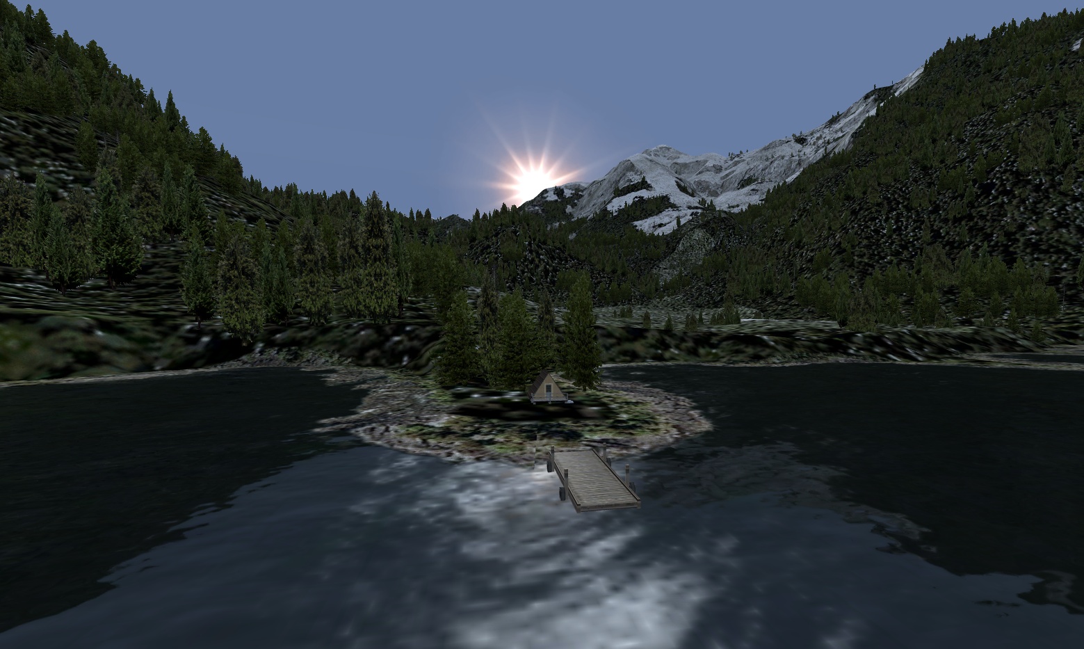 Click to Enlarge Click to Enlarge |
Mt. Matlock Cabin (Updated V1.0 -06.02.2019) Scenery and Story created by Brad Allen Start: N53 17.5620 ... W132 25.3742 ... Mag: 159.4 ... Water ... WP: R183A Sandspit (population: 460) lies on the northeast tip of Moresby Island, one of the Queen Charlotte Islands. The charming village lies on a spit of land extending into Hecate Strait. The Islands are blessed with a mild climate that has resulted in a rainforest of stunning, natural beauty, as well as lush vegetation and bountiful wildlife. Sandspit is home to the Islands’ main airport, with regular service available from Vancouver and Prince Rupert. A 25-minute ferry ride from Alliford Bay connects Sandspit to Skidegate Landing on Graham Island, the terminal for the 7-hour ferry to and from Prince Rupert. Inhabited since prehistoric times, the Islands have been home to the Haida Nation for over 10,000 years. In 1993, the Canadian Government and the Council of the Haida Nation signed a landmark agreement to co-manage the newly protected Gwaii Haanas National Park Reserve and Haida Heritage Site on the southern half of Moresby Island. Sandspit is the major gateway for adventure travel into Gwaii Haanas, either by air or water. A secluded cabin with small pier located on Sandspit Island. It's in a beautiful protected cove near Mt. Matlock.
|
|||||||||||||||
|
Muddy Lake Airstrip
ICAO Code: BD7 (Refreshed V2.0-06.15.2019) Scenery and Story created by Brad Allen Start: N58 11.7063 ... W132 19.4295 ... Mag: 304.7 ... Land ... WP: BD7
This scenery uses seasonal scenery so you'll need to install the RTMM Season Switcher Utility by Rod Jackson if you haven't already.
|
|||||||||||||||
| Back to Top | ||||||||||||||||
 Click to Enlarge
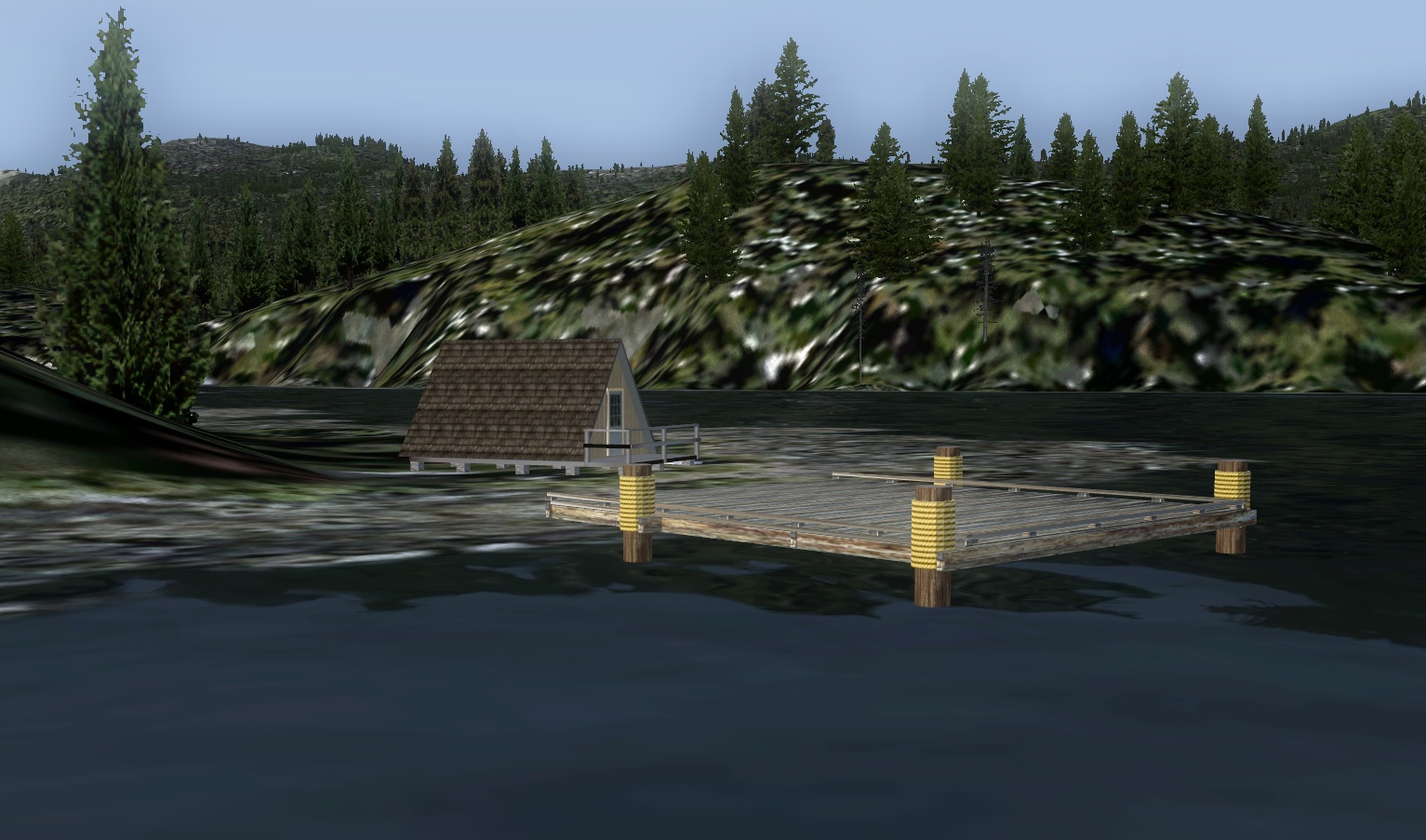 Click to Enlarge
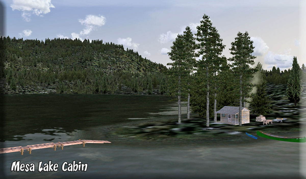 Click to Enlarge
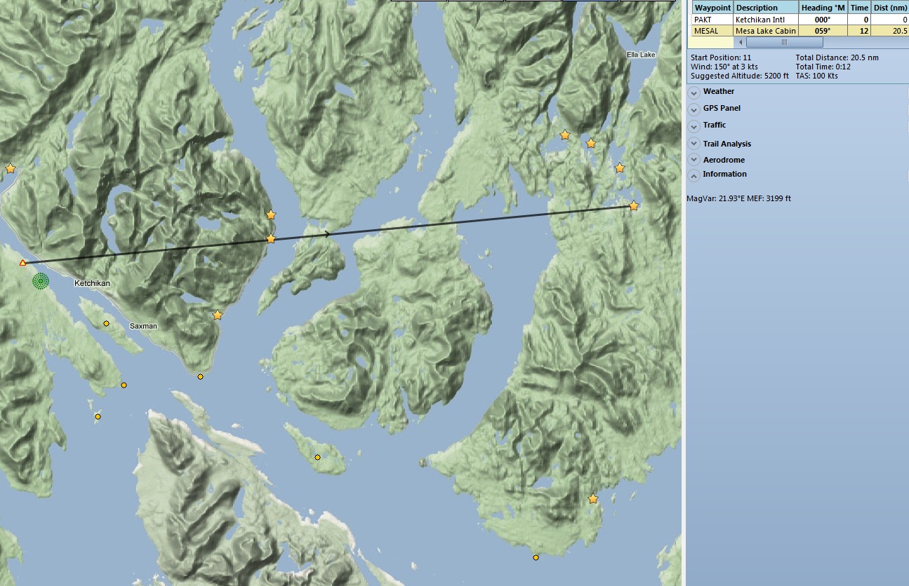
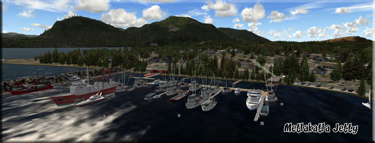 Click to Enlarge
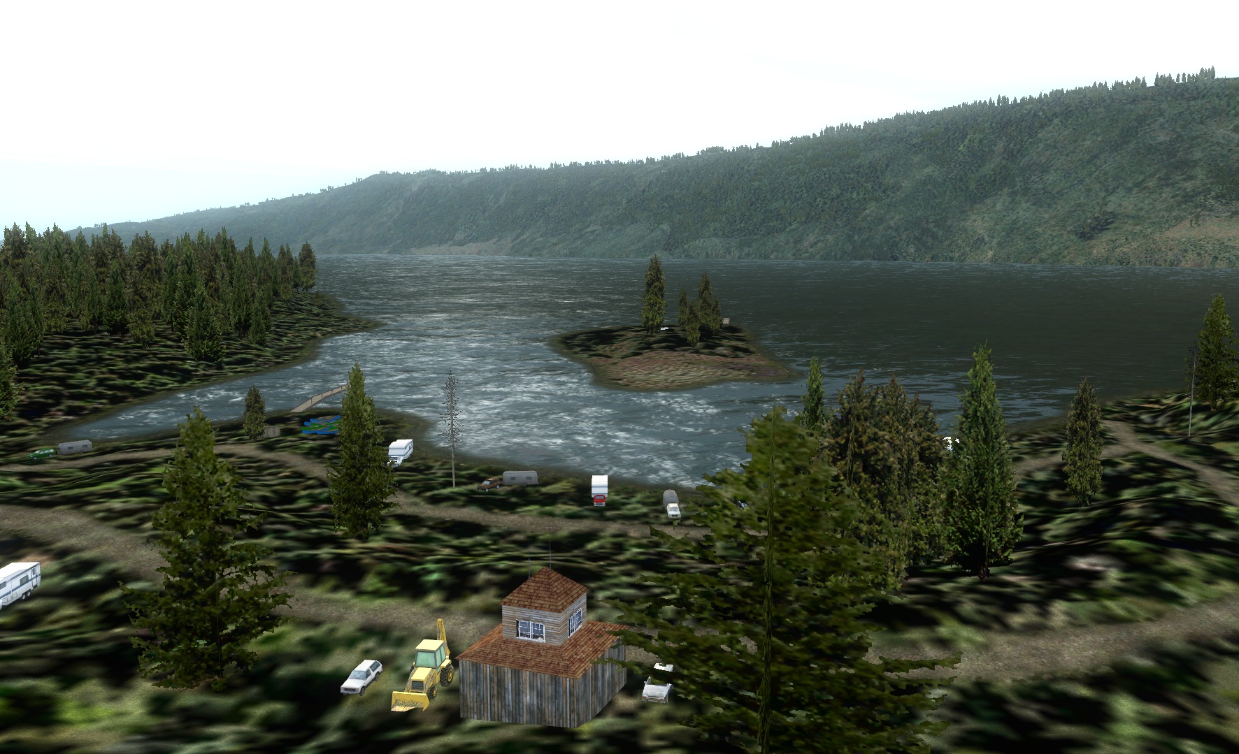 Click to Enlarge
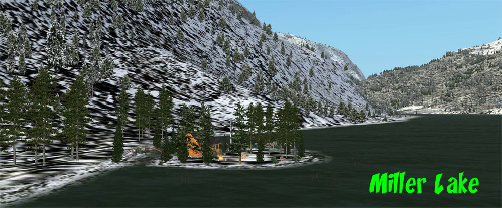 Click to Enlarge
 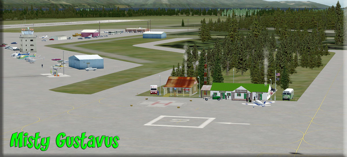 Click to Enlarge
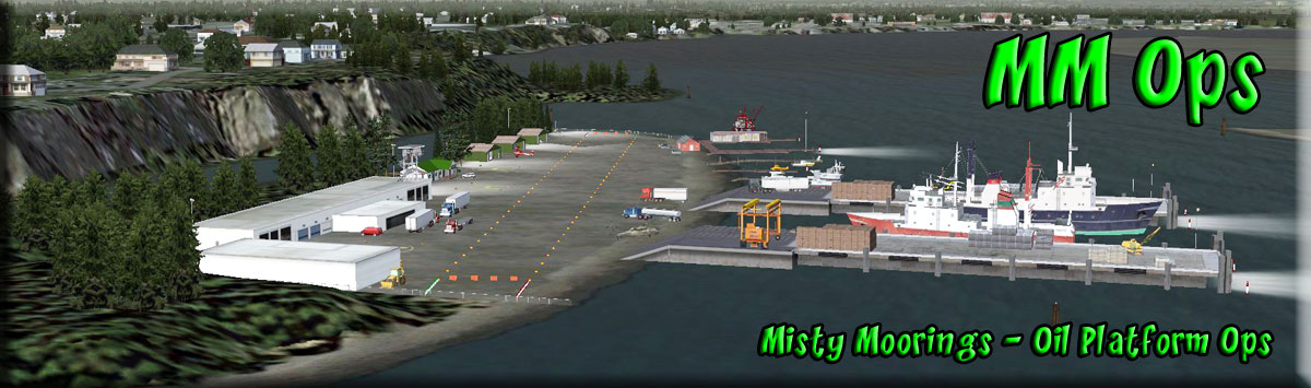 Click to Enlarge
 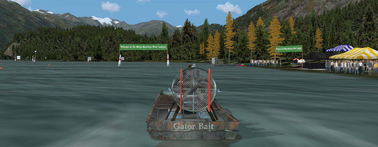 Click to Enlarge
 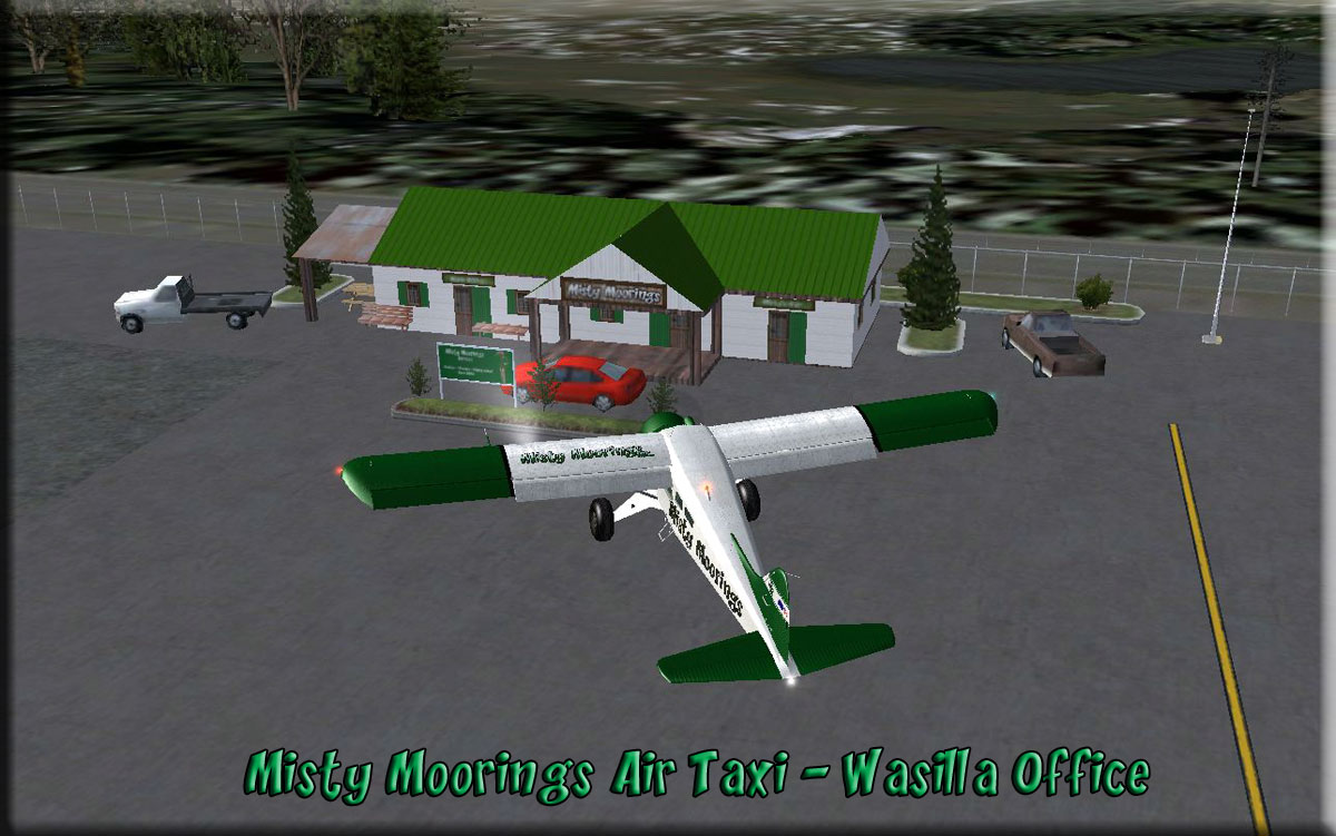 Click to enlarge
 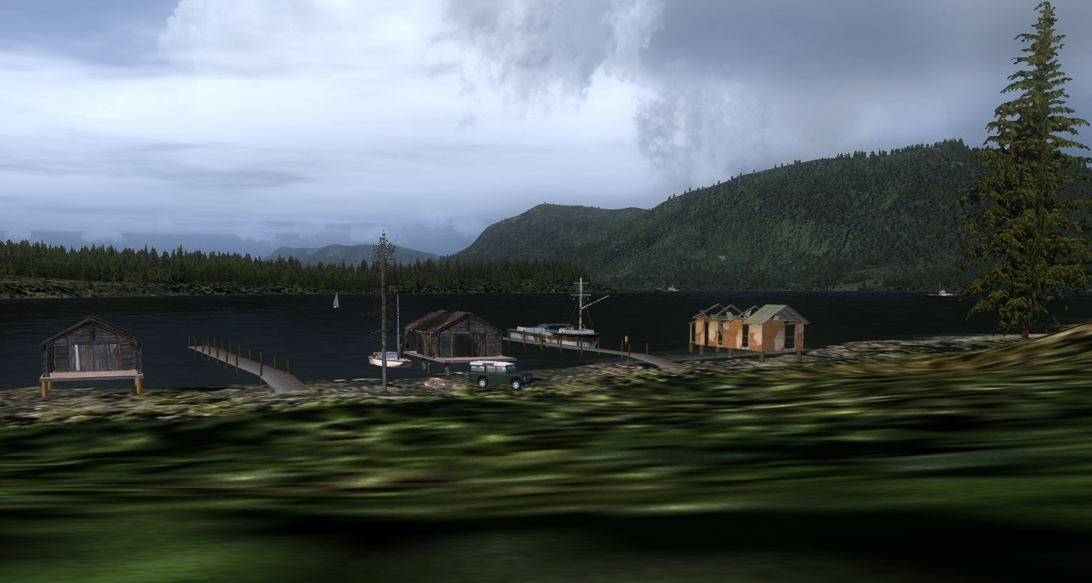 Click to Enlarge
 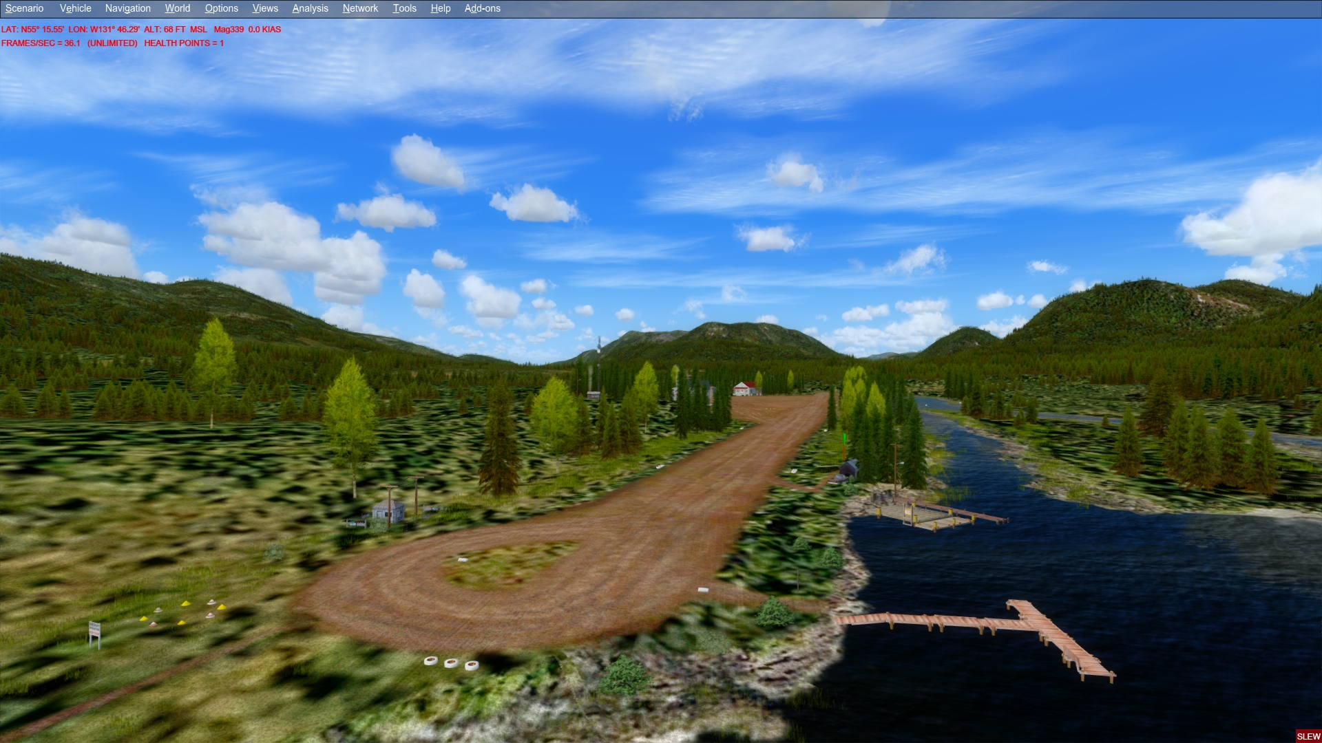 Click to Enlarge
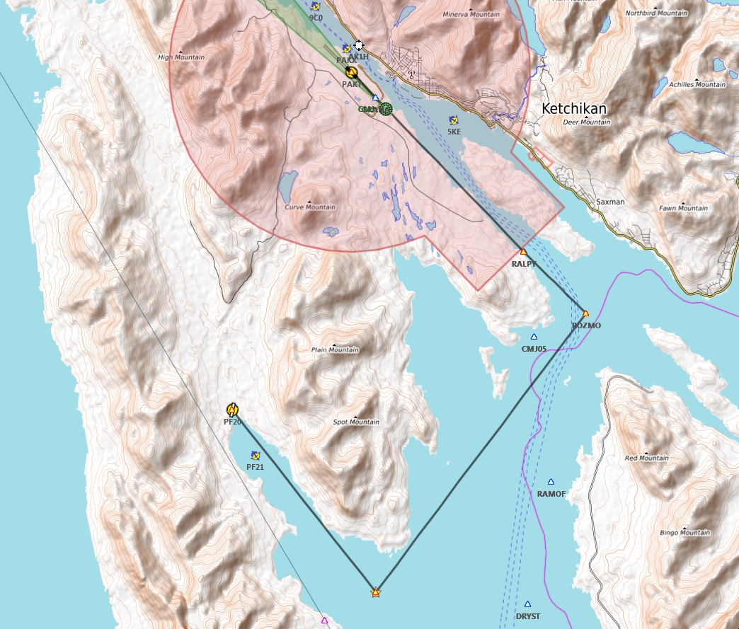
 Click to Enlarge
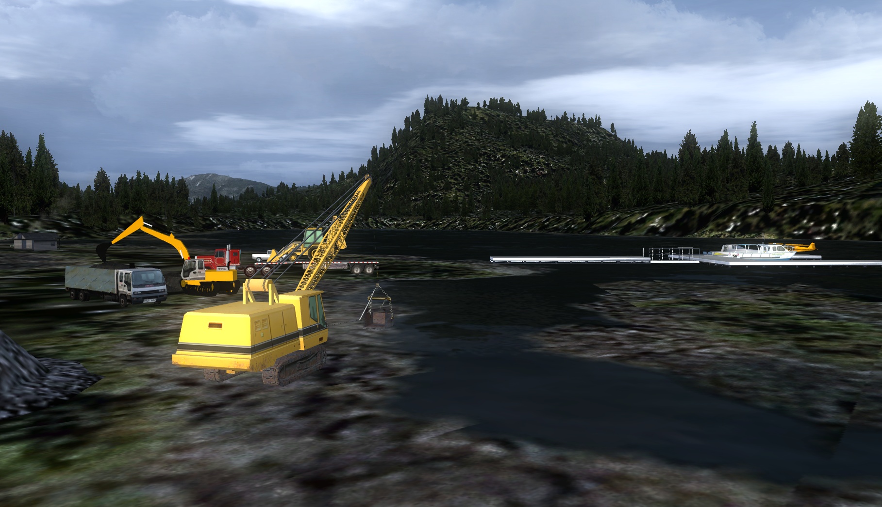 Click to Enlarge
 Click to Enlarge
 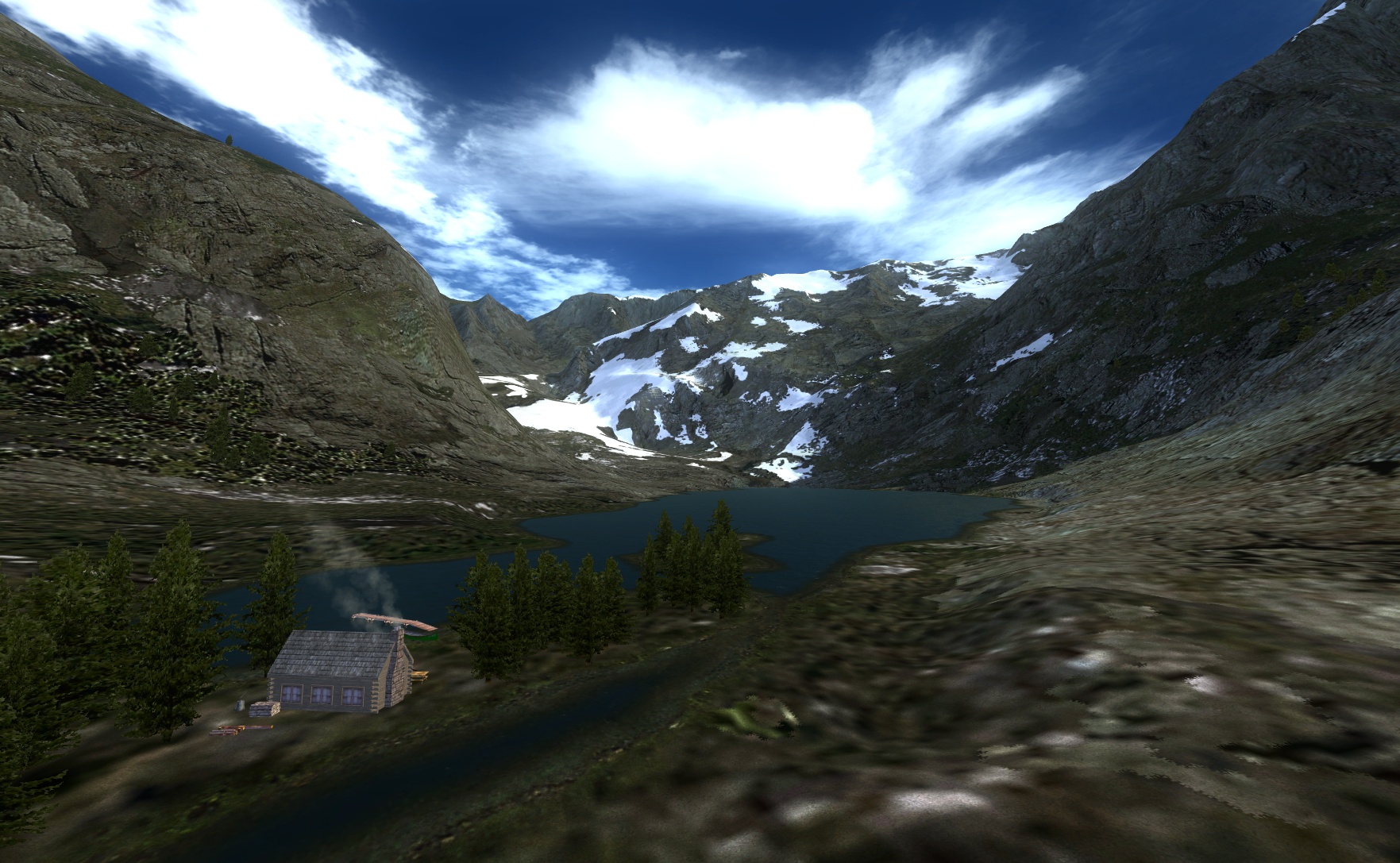 Click to Enlarge
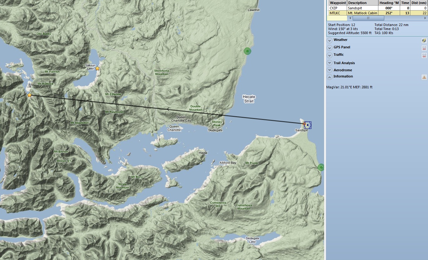
 Click to Enlarge
| N | ||||||||||||||||
|
NAC Bases - Navigator Air Cargo Bases (Refreshed V2.1-06.02.2019) By Harald Gabler, Austria Start: (See below) NAC Randolph Peak (NACR) is a fictional airfield situated at the foot of the eponymous mountain peak about 90 NM south-east of Juneau, Alaska. The airfield has a flat grass runway and serves as springboard of the fictional airline "Navigator Air Cargo Service" for flights into the region of Glacier Bay National Park. Minor repairs can be done in the hangar. Also several gallons of fuel can be obtained. When staying overnight you should visit the "Airman", the airfield pub. If you don't bring your own tent you can stay overnight on mattresses on the floor for just one dollar. The connected store stocks food and offers other necessary wilderness equipment. (Tongass Fjords Scenery Package required). NAC Sharp Cone (NACA) is located about 20 miles from Bella Bella on a 92* course. This is also a fictional airfield. Here also is a campsite for you when you park your aircraft. The runway is dirt. This little base supports four other local area highlights:
|
||||||||||||||||
|
NAC Kispiox River (Refreshed V2.1-07.14.2019) Scenery and Story created by Harald Gabler/Dieter Linde Start: "NACK" or N55 27.94 ... W127 44.55 ... Alt 968 ... Mag 274 ... WP: NACK The real Kispiox River Steelhead Camp is situated in a valley of the Kispiox Range area, straight to the western banks of the famous Kispiox River, about 43 NM northwest of Smithers/CYYD. So it's not surprising that a fishing camp was established here. The owner is a relative of Harald Gabler, author of this scenery. This scenery with the short dirt strip, about 1200 ft in length, is built on the same site. The scenery is fictional and doesn't represent the original camp site. The camp, sitting in a remote pristine stunning wilderness area, invites anglers of all skills to experience terrific fishing. Kispiox River is famous for catching many different species of fish, but especially huge steelhead trout. It's a paradise for anglers from around the world. Spent some relaxed delightful days in comfortable accommodations equipped with a cozy parlor, fully furnished kitchen, shower and WC. This way you are independent from any lunch time. Create your own daily routine. You are provided with everything you need to maximize your fishing experience, boats, fish cleaning, smoking/freezing and even transportation to the river, if needed. You can reach the camp via road. It's about an hour's drive from Smithers or about 40 minutes from Terrace by SUV. Additionally the small airfield allows a fly-in by small GA-aircraft. Fuel and aircraft service is offered to a limited extend. Don't hesitate to ask Jack the experienced mechanic for support. You will find him at the airplane repair shed during summer time.
|
|||||||||||||||
| Nadina Mountain Airstrip (Refreshed 06.02.2019) Airport: "Nadina Mountain" ICAO PF15 Scenery & Story created by Brad Allen, airstrip by Kim Gowney Start: Use Go-to-airport: PF15 ... WP: PF15 Located 21 miles south of Houston, this outback strip affords easy access to the Nadina Mountain Trail. A popular location for Hikers, Hunters and even geologists! More about the trail and it's varied attractions can be read by clicking the link at the bottom of this storyline. The website in part has this to say:
Trees, trees and more trees await you here. Be sure you're not trying to land here with to much wing surface because you'll be into the trees if you get too close! The airstrip is actually wider than you think, it's the illusion on approach that will raise the hair on your neck. You should have no trouble landing here in the proper aircraft. "Cub's and the like will have plenty of stopping distance. "Stationair's will need to get the touchdown zone right at the end of the airstrip to safely slow to a stop and turn around. Anything larger than this class of aircraft will not be suited for this location. Bush Operators here are used to get in mountain climbers, hikers, campers and hunters. The ranger station is active all year round but with roads being a challenge here, they rely on their "Helio Stallion" to get them in and out. Here's a link to the "real thing" - LINK TREE REMOVAL SERVICE: If you feel that the trees here are just too close for your comfort level, "Ranger Wimpy" can chop down the trees that are real close to the edge of the airstrip for you. By removing this file:
|
||||||||||||||||
| Navman's Retreat (Refreshed 06.02.2019) Scenery and Story created by Brad Allen Start: N56 13.2150 ... W131 28.7179 ... Mag: 199.2 ... Land ... WP: R188A This scenery is In honor of the Owner and CEO at FSAddon Publishing and a great contributor to the Flight Simulator Community, Francois "Navman" Dumas. Located at an unlisted airstrip inside the ORBX "Pacific Fjords" scenery area, it's right next to the "Bradfield River" and close to the border of the "Tongass Fjords" scenery from FSAddon. There are hangar's that house a collection of "Tiger Moth", AN-2 "Annushka", "Steerman" and "Chipmunk" vintage aircraft. There is a floatplane dock and several cabin's await any visitors.
|
||||||||||||||||
| New Eddystone Rock (Refreshed 06.23.2019) Scenery and Story created by Brad Allen Start: N55 30.1990 ... W130 56.3374 ... Mag: 43.2 ... Water ... WP: R189A The Alaskan island called New Eddystone Rock is a pillar of basalt. Sometime during the last 5 million years, the basalt came from fractures in the floor of Behm Canal. The broken, haphazard texture of these basalts indicates that New Eddystone Rock was part of a volcanic vent where magma rose repeatedly to the surface of the earth. When in its molten state, the basalt was very liquid, so that it spread out over a large area, like pancake batter on a griddle. These flows cooled from both the top and the bottom forming the hexagonal columns which are visible on several of the islands surrounding New Eddystone rock. After the basalt flows covered the floor of Behm Canal, another glacial advance scoured away much of the flow, leaving behind New Eddystone Rock and some of the islands to the northeast.
|
||||||||||||||||
|
Nina Cove Lodge & Cabins (Refreshed V2.0 - 06.15.2019) Scenery and Story Created by Brad Allen Start: N54 49.3542 ... W132 40.5179 ... Mag: 38.9 ... Water ... WP: R190A At Nina Cove Lodge, there's something for everybody. The fishing is excellent! Fish for salmon, halibut and bottom fish in world famous waters. Fish local lakes and streams for steelhead, rainbow trout, or dolly varden. Head out with a local guide and boat to take you fishing for a day long adventure. You can even rent your own skiff and go saltwater fishing or just out exploring. Just outside the lodge, the scenery and wildlife are spectacular! Photograph bear, eagles, deer, and river otters in their natural habitat. Hike and beachcomb wilderness beaches and trails. Walk on our over a mile long wooden boardwalk out to Gualtier Pier for some light tackle fishing or just a great way to walk out over the water. We even provide small tackle box carts you can use to get your gear out to the pier. Action adventures abound! Camp in the great nearby outdoors of Alaska. There are four nearby cabins you can use. Scuba dive in coves and inlets in clear pristine waters. Kayak hundreds of miles of isolated and protected shoreline. Canoe the famous Misty Canoe Trail. There is something for everyone! Go bird watching or whale watching. Dine on our world famous Nina Cove Trout. Take the family for a picnic and swim in the nearby pristine lakes. Visit local towns nearby such as Klawock, Craig and Hollis. Take a helicopter trip over to the nearby Long Island Fire Tower for a spectacular view. How about a flightseeing adventure out to Forrester Island. It's home to one of the largest bird colonies in the world. All of these adventures await at Nina Cove. Seaplane and boat moorage points are plentiful. There's also a designated Helicopter landing spot on the dock. We even have our own seaplane repair facility. We are a full service operation that welcomes you with spacious and cozy lodge rooms that invite you to relax and enjoy the natural beauty at Nina Cove Lodge.
|
|||||||||||||||
|
Nina's Landing and George Inlet Cannery (Refreshed V2.1 - 06.15.2019) Scenery and Story created by Brad Allen Start: N55 21.9061 ... W131 28.4402 ... Mag: 97.9 ... Water ... WP: R191A True luxury in a wilderness setting. Nina's Landing is an all inclusive resort where guests can experience the beauty of the Misty Fjords area in elegant style. Opulent five star accommodations await at the only luxury resort in the Ketchikan area. The staff at Nina's Landing pamper you with the quality and exemplary service which consistently exceeds your expectations. Dine at "Nina's" and enjoy a dramatic and refreshingly different restaurant setting that is famous for serving local seafood and international gourmet cuisine in an atmosphere of sophisticated elegance. Guests arrive by ground transportation, seaplane and boat. Look for the polished granite staircase that leads to the entrance. There is a large helicopter pad. Adequate parking for seaplanes and a boat dock large enough for luxury yachts. This isn't your typical wilderness lodge. From Brad: "I named this scenery for my wife, Nina. Let your imagination go and think of a Luxurious Mediterranean resort near Monte Carlo. That's the idea with this scenery only it's near Ketchikan, AK. It's a place for guests that demand the finer things in life and are willing to spare no expense to achieve those goals. Nina's Landing delivers in that regard. Float plane and helicopter pilots along with local boat captains ferry guests from nearby areas to stay at this resort. There is a bus parking area at the top of the hill and those guests arrive at the resort walking down a granite staircase that leads to the dock and shoreline area of the resort.
|
|||||||||||||||
|
Nisga'a Glacial Lake Lodge (Refreshed V2.1-07.13.2019) FSX Airport Name: "Nisga'a Glacial Lake" ICAO Code: PF02 Scenery and Story created by Brad Allen, Airstrip by Kim Gowney Start: N55 12.3598 ... W129 30.1200 ... Mag: 97.9 ... Land ... WP: PF02 This location gives visitors a true "Cabin on the Lake" experience, with plenty of options for guests to experience beautiful Nisga'a Lake. The property has its own dock on the lake, with gently sloping access for swimming, sunbathing, canoing, or kayaking. Easy access to incredible mountain biking and hiking is just a few steps from the front door of the lodge. Fishing in the Nisga'a lake and river is excellent any time of year. There is adequate cross-country skiing and snowboarding opportunities in the winter time. There's no limit to the entertainment options here. You just have to get out there and do it. The Nisga'a Lodge has an inviting great room for meetings or just relaxing by a large fireplace. There are two comfortable couches and plenty of seating and tables. The lodge has a fully equipped kitchen during the spring and summer months. Even though the kitchen has limited food options in the fall and winter, you'll be able to use the facilities to cook whatever you catch. The rooms in the lodge come with all bedding, quilts, linens, and towels. The dirt runway here is long enough for many types of bush aircraft. Pilots also will find enough parking to tie down their aircraft and come inside for a visit. There are no fuel facilities here though and care must be taken to keep any hazardous fluids from getting into the surrounding ecosystem. Drip pan's are provided to all pilots and they are asked to place one under each engine while they are parked. There is also plenty of parking at the dock for floatplane operations and the lake doesn't freeze over in the winter. Land, tie-down and take a walk around to see the sights. "Bob" is perfect here. See a video of Aaron's landing at Nisga'a HERE
|
|||||||||||||||
| Norandex Mining Operations (Refreshed V2.0-06.02.2019) Scenery and Storyline by Steve Weinkamer Start: N59 27.3591 ... W151 20.3985 ... Mag: 14.7 ... Land ... WP: R192A Coal, not gold, is the reason Homer, Alaska exists today. First mined from seams along the north shore of Kachemak Bay by the Russians in the middle 1800s, coal was soon mined economically by American companies within the next decade. With coal mining came miners, and the town of Homer was established at the end of what is now called the Homer Spit. A little railroad, Alaska’s first railroad, carried coal from the underground mines to the end of the spit where a large wharf had been built to accommodate shipping. In the latter part of the 19th and the early part of the 20th Centuries, a small coal mining operation worked the Sadie Cove area, which is located 11 miles from Homer, in the Kenai Peninsula. The Homer area coal industry was in decline by the 1930's, and today’s residents still collect chunks of the black shiny stuff from the beaches to keep themselves warm during the winter. It’s found mainly north of Bishop's beach, where it is abundantly strewn after big tides and storms break it from the seams. In the early 1990’s, a logging operation was established at the southern end of Sadie Cove not far from the old coal field. In 2005, during the course of logging operations, rich deposits of zinc, lead and copper were discovered in the area. A joint partnership between Noranda Mining of Quebec, Canada, and ExCo Deep Exploration and Development was formed, and several years later the sprawling Norandex mining operation went into production. Today the logging operation is nearly completed while the mining complex undergoes rapid expansion, currently running at 75% capacity. A 70’ by 2200’ lighted gravel runway serves the entire complex. (Watch out for an occasional meandering bear!) New construction of maintenance facilities and employee housing is underway near the southern end of the runway. Aviation fuel is available on the east and west sides of the runway by navigating between the cones and pulling to a stop in front of the fuel tanks with the east side fuel station providing helicopter fuel as well. Avgas is also available at the small seaplane dock located on the southwest side of the cove across from the port. Pull up to the dock in your float plane, grab a free soft drink from the cooler on top of the fuel pump and say hi to “Pontoon” the friendly dockside dog “welcoming committee.”
|
||||||||||||||||
| Back to Top | ||||||||||||||||
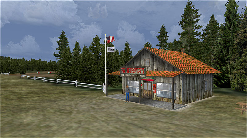 Click to Enlarge
 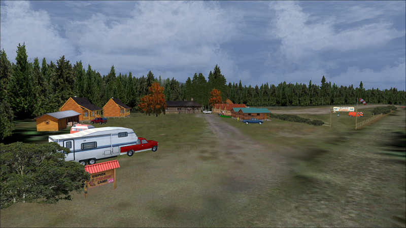 Click to Enlarge
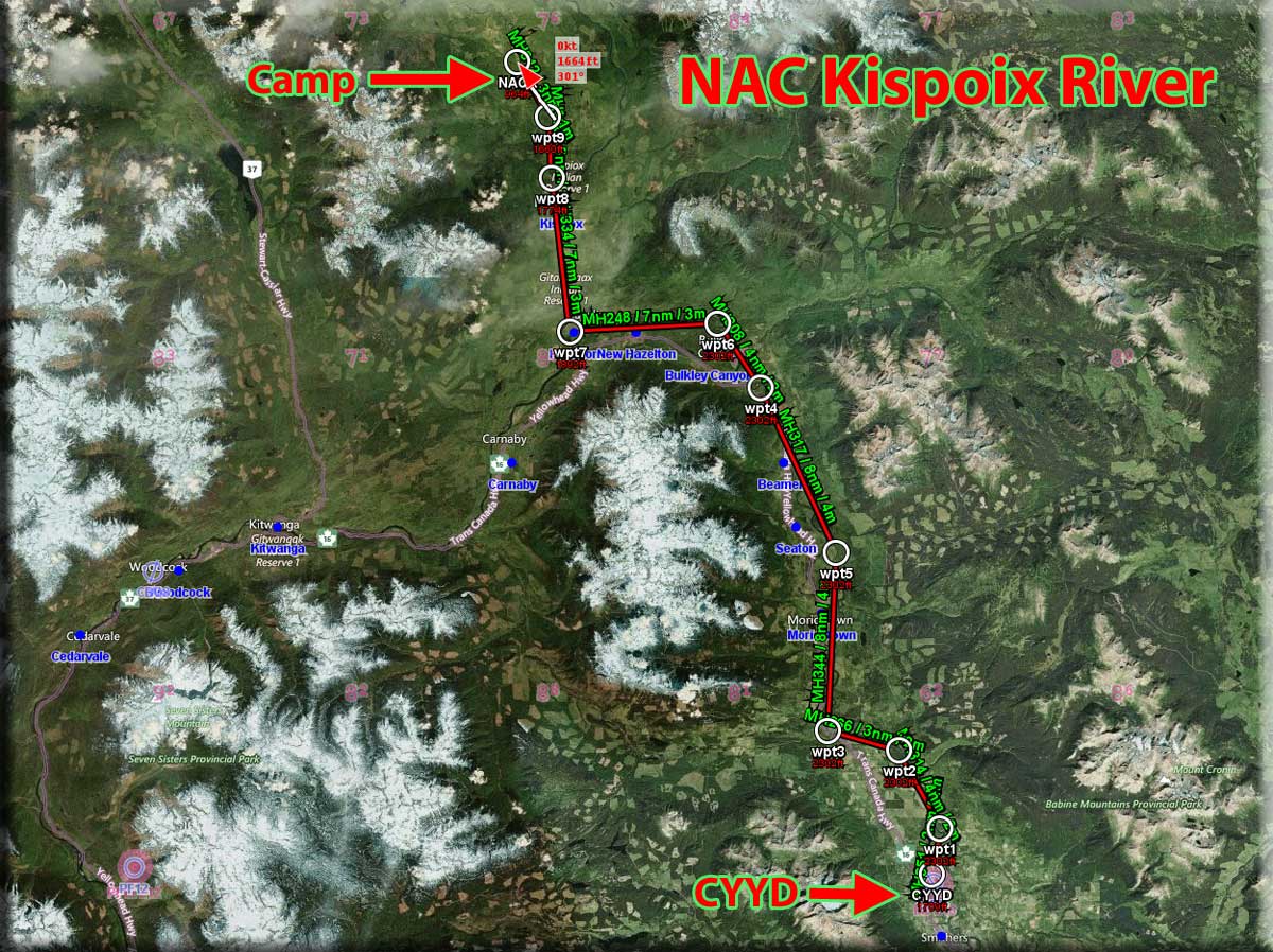
 Click to Enlarge
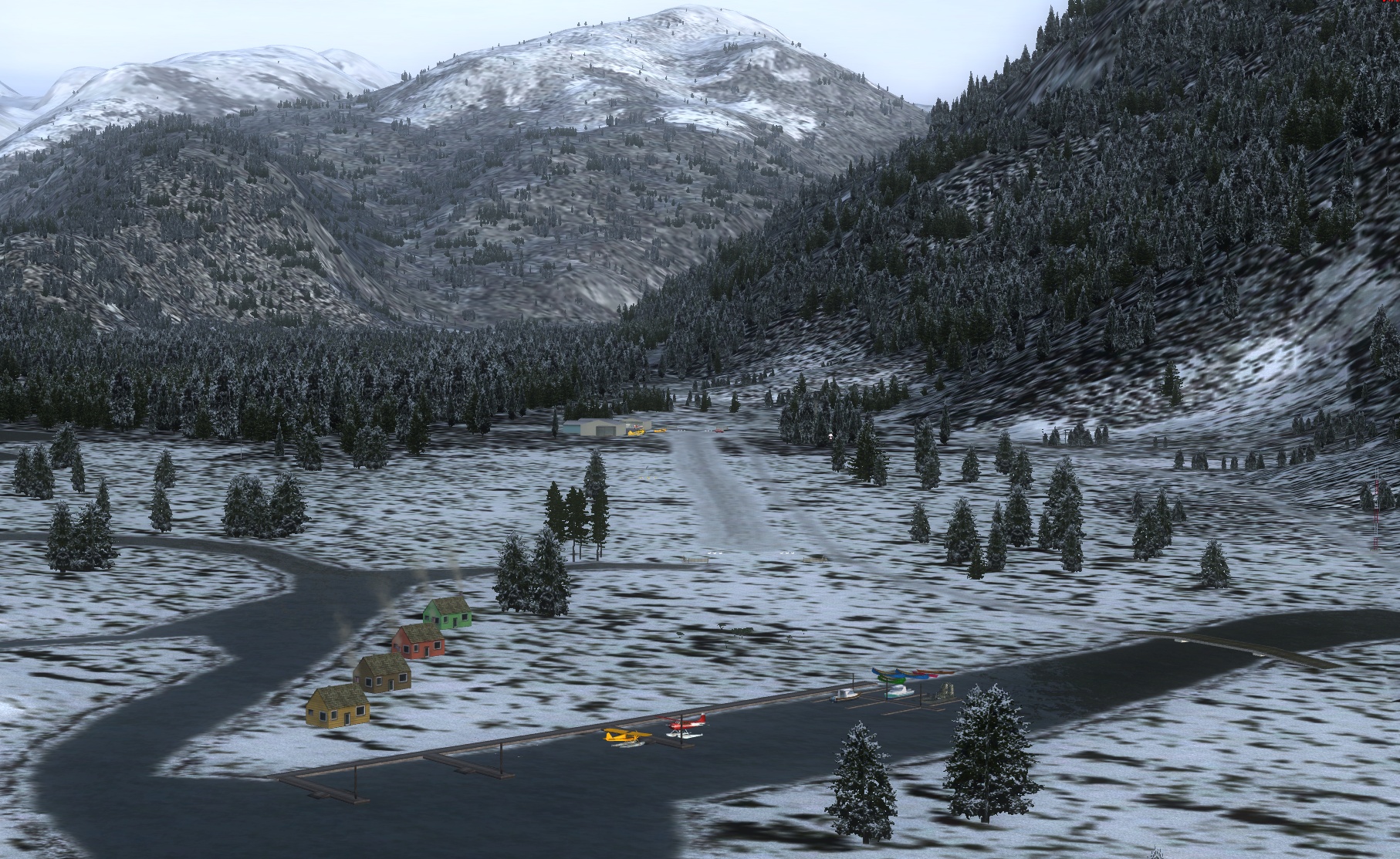 Click to Enlarge
 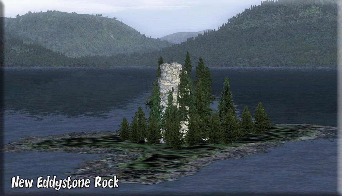 Click to Enlarge
  Click to Enlarge
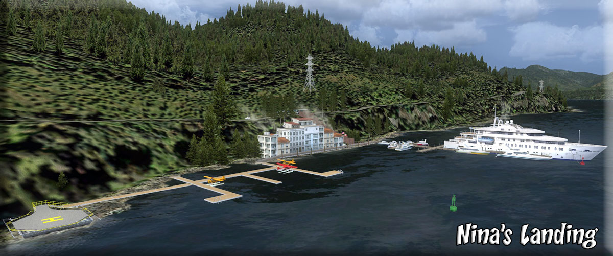 Click to Enlarge
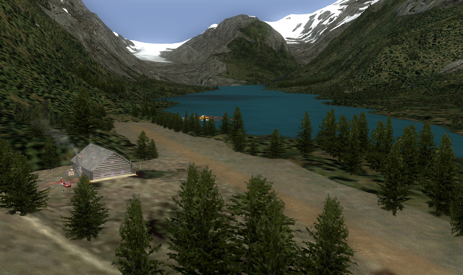 Click to Enlarge
 Click to Enlarge
| O | ||||||||||||||||||||||||||||||||||||||||||||||||||||||||||||||||||||||||||||||||||||||||||||||||||||||||||||||||||||||||||||||||||||||||||||||||||||||||||
|
Ocean Falls, BC (Refreshed 05.10.2020) Ocean Falls was once a large ‘company town’ owned by Crown Zellerbach, an American pulp and paper conglomerate that invented folded paper towels, cardboard egg cartons and the window envelope. Ocean Falls had the second largest paper mill in B.C. and was home to about 4,000 people - but when the mill closed in 1973, people started to leave the area. Today, there are about 35-60 people living here full-time; most are original pulp mill workers and are sometimes referred to as the "Rain People" because of the abundance of rainfall here - 172.8in/4,390mm annually, about 4 times the area average. Ocean Falls is situated around the Link Lake waterfall into Cousins Inlet and this considerable energy resource is largely untapped. The purity of the water from Link Lake is such that it needed no filtering to make white paper, something unheard of. The waterfall enabled a dam to be built with a generating station that to this day produces electricity for the region still using equipment built in 1926, which is distributed by the power line poles you'll see on the port shoreline. The dam is not connected to the North American power grid which means there is no opportunity to sell power to anywhere other than local communities. Only one penstock is used, the pipes that deliver the water to the turbines, meaning only one third of the dam's power capacity is utilized and this supplies Ocean Falls, Shearwater and Bella Bella with some left over. As a result, the city is home to a remotely operated ‘bitcoin’ mining operation due to the availability of cheaper electricity that would otherwise not be utilized. Its 500 devices are housed on the upper floor of the 2 storey blue building over by the mill. Ocean Falls is reached by either a private boat or a once a week 5/6hr ferry ride from Bella Coola or float plane – no roads lead here. This lack of access might account for why the opportunities to see wildlife are plentiful - whales, seals, deer, bear, mountain goats and eagles, to name but a few. In our scenery, a cruise ship is shown anchored in the cove allowing passengers to disembark to visit the dam and tour what's left of the town following the Canadian Govt.'s 'normalization' program whereby a lot of the town was bulldozed and burnt, mainly to avoid any issue of liability for property. In fact, we are commemorating the time when the one and only cruise ship called at Ocean Falls, Holland America's ‘SS Rotterdam’, on 18 May 1997. The town successfully hosted the 1,100 visitors so there was hope that other Alaska-bound cruise ships would visit, but it never happened. After all, who would want to visit what is, for all intents and purposes, a dilapidated ghost town? As far as a RTMM presence is concerned, we have offices here in front of the [abandoned] hotel, hospital and church buildings; there is also a private school in Ocean Falls. The dam, pulp mill, warehouses and docks are depicted in full working order and many floatplanes, pleasure boats and fishing vessels can be seen in the harbor. We hope to give you a flavor of Ocean Falls in happier times. The seaplane base here [CAH2] is the starting point of the RTMM flight plan to Dean River and the destination of the flight plan from Bella Bella-Waglisla SPB [see FLIGHTPLANS below]. There is also a ‘trip tic’ for this location – click the link button below. If you would like to learn more about Canada's most famous abandoned city, you should follow these 2 links: - 'http://www.oceanfallsmuseum.com/'
|
|||||||||||||||||||||||||||||||||||||||||||||||||||||||||||||||||||||||||||||||||||||||||||||||||||||||||||||||||||||||||||||||||||||||||||||||||||||||||
|
Owikeno Lake Area (Refreshed 06.29.2020) Scenery by Doug Linn, Brad Allen and Rod Jackson Start: (See Major Locations Below) This scenery is located at the southernmost end of PFJ (ORBX). You will find 34 (documented) locations, 6 river runs, 5 airstrips, AI Boat Traffic and more. This scenery was designed for all four of our types of pilots ... heli, float/fixed wheel plane, boaters and even land vehicles. We have a NEW feature, not been attempted before ... a man-made canal that links The saltwater inlet with the freshwater lakes. Taking a boat from one end to the other of the Pacific Fjords Gateway Canal is a "must" trip. This was created by Rod Jackson and is an amazing feature in this scenery package. There is a Boat/Float Plane tour of the lake that will take you to many of the locations along the shoreline. It is included in the zip, but you can see it by clicking on the TIC button below. There is an extensive README (click here) that you can look through to see the scope of this project. Also the map, below will show you where all the locations are. All of the mooring points (start points) for all of the locations can be found in the readme and also in the Map Room at Misty's Place. Enjoy. There now is also an NDB at Pacific Gateway PF20. It is named PAGA and is found on frequency 344. Major Locations:
|
|||||||||||||||||||||||||||||||||||||||||||||||||||||||||||||||||||||||||||||||||||||||||||||||||||||||||||||||||||||||||||||||||||||||||||||||||||||||||
| Back to Top | ||||||||||||||||||||||||||||||||||||||||||||||||||||||||||||||||||||||||||||||||||||||||||||||||||||||||||||||||||||||||||||||||||||||||||||||||||||||||||
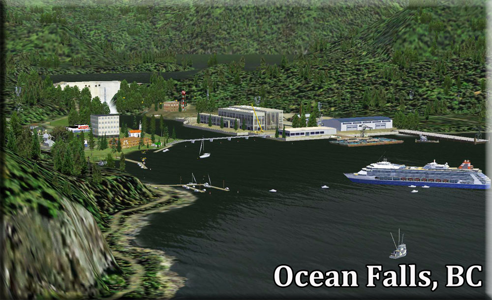 Click to Enlarge
 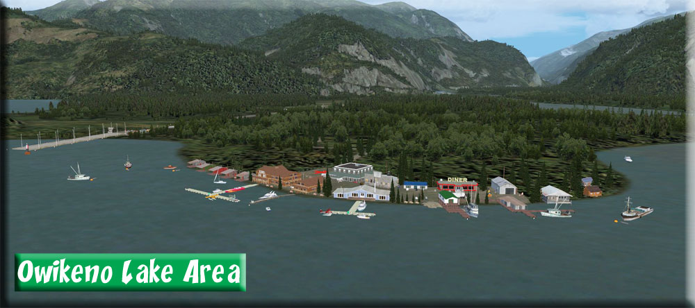 Click to Enlarge
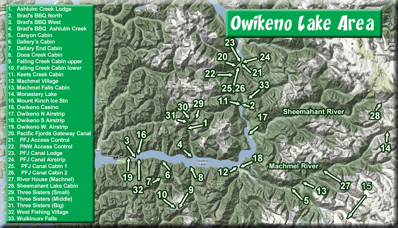
| P | |||||||||||||||||||||||||||||||||||||||||||||||||||||||||||||||||||||||||||||||
| Pacific Northwest Scenery Collection - (Refreshed 06.02.2019) Scenery and Story created by Brad Allen Start: (See Below under Locations) This package contains a collection of scenery that will give the user a plethora of small bush flying locations to go find in the wonderful ORBX Pacific Northwest (PNW) region. You'll be able to visit mountaintop snow covered ice stations, lighthouses, lake and riverside cabins, small dirt airstrips and many new places to seek out and discover in PNW. Included in this package are many locations that were designed and released before Return to Misty Moorings was even created and now these locations are given a new lease on life in the current RTMM environment using our updated object libraries. Look inside for more details on this extensive collection that is sure to keep the user busy for a long time to come in the fantastic ORBX Pacific Northwest Region. Locations:
|
|||||||||||||||||||||||||||||||||||||||||||||||||||||||||||||||||||||||||||||||
| PAKT Ferry (For PAKT=SP1 ONLY) (Refreshed V1.0 - 06.02.2019) By Rob Abernathy and Scenery by Jeff Greene ... WP: PAKT Here is a great AI scenery package that puts a ferryboat crossing the Tongass Narrows .. just as it does in real life. You must have PAKT-SP1 for this to work. There are some great animations in this package. There is no "flight plan" or map with this since it is located right at PAKT. This file adds some eye candy to the Gravina Island side of the Ketchikan airport ferry landing area. Jeff has added vehicles and people to the road and sidewalk approaching the ferry dock at PAKT airport. This BGL is only compatible with the Orbx Ketchikan airport addon for FTX PFJ. You must have Orbx FTX North America Pacific Fjords and the December 2011 released PAKT airport from Orbx for this to work.
|
|||||||||||||||||||||||||||||||||||||||||||||||||||||||||||||||||||||||||||||||
| PAKT Tunnel(For PAKT=SP1 ONLY) (Added 05.04.2020) by Jeff Greene ... WP: PAKT Runway 29 There is an actual tunnel at PAKT going under the Start of the 29 Runway. Jeff Greene has depicted this actual structure. This is for PAYWARE PAKT only, it will not work with the default ORBX PAKT.
|
|||||||||||||||||||||||||||||||||||||||||||||||||||||||||||||||||||||||||||||||
| Petrof Bay Camp (Refreshed 06.02.2019) Scenery and Storyline by Brad Allen Start: N56 25.7078 ... W134 4.6548 ... Mag: 297.3 ... Water ... WP: R205A This is a Tongass National Forest group of cabins that are located in Petrof Bay near Port Walter, AK. Look for a pair of bald eagles nearby who have built a nest in one of the old trees on the small island. Petrof Bay is a small bay on the west side of Kuiu Island in the Alexander Archipelago in southeastern Alaska, United States and opens into the Chatham Strait. The bay was named in 1924 for U.S. Census Bureau employee Ivan Petrof, whose reports of his travels in the late 19th century are a valuable source of Alaska history for that period. Fishermen will find a variety of fish including coho salmon, halibut and dolly varden here. Whether you’re trolling, fly fishing or spinning your chances of getting a bite here are excellent. So grab your favorite fly fishing rod and reel, and head out to Petrof Bay. If all goes well, the silver salmon will be hooked by your cod, the belyi golets will be biting your grasshoppers and the flatfish will be grabbing your minnows.
|
|||||||||||||||||||||||||||||||||||||||||||||||||||||||||||||||||||||||||||||||
| Port Bazan Cannery (Updated 06.02.2019) Scenery and Story created by Brad Allen Start: N54 50.2416 ... W132 55.5665 ... Mag: 130.2 ... Water ... WP: R206A Port Bazan is on the west side of Dall Island, and is a safe port for the local fishing vessels who need a sheltered moorage during bad weather. It lies between two prominent mountain peaks about five miles apart. The northwestern mountain is 2,500 feet high and the top is a small bare tip. The southeastern mountain is 1,950 feet high and is roughly the shape of a rounded cone and heavily wooded all the way to the top. Port Bazan is about 3 miles in length, averages 1 mile in width and is largely filled with islands of various sizes. Dolgoi Island, nearly closing the entrance, is 1-1/2 miles long and 3/4 of a mile wide. It is mound shaped and wooded and while the seaward shore of the island is storm swept and bare of vegetation, the rest of the island is heavily wooded. This island protects the rest of the cove from the wrath of the Pacific during storm conditions. Port Bazan can be entered either southeastward or northwestward of Dolgoi Island but the northwest entrance is preferable. This anchorage is the best on the west coast of Dall Island because it is thoroughly sheltered from outside swell and the configuration of the mountains is such that it is reported that storm surge winds are never felt. Look for various fishing vessels in the harbor and the channels as you approach the cannery. There are channel markers that should be used for reference inside the cove.
|
|||||||||||||||||||||||||||||||||||||||||||||||||||||||||||||||||||||||||||||||
|
Port Refugio BBQ - By Doug Linn (Refreshed V2.0-06.12.2019) Start: N55 17.2748 ... W133 19.6933 ... Mag 220 ... Water ... WP: R207A Port Refugio is only 3 miles from Waterfall, AK. We have a very active fishing fleet coming out of Waterfall ... and we know these guys get tired of eating FISH! So we are putting a Brad's BBQ in Port Refugio so the boys can have some "down home cookin'". This location uses the RTMM Season Switcher: Here's where virtually and reality merge. Look at Google Earth at location: Now ask us how we put a Brad's BBQ onto Google Earth! :-) (Pic Here)
|
||||||||||||||||||||||||||||||||||||||||||||||||||||||||||||||||||||||||||||||
| Portage Bay Cabin (Refreshed V2.0-06.02.2019) Scenery and Story created by Doug Linn Start: N55 16.6099 ... W132 32.9400 ... Mag: 181.4 ... Water ... WP: R208A Portage Bay ... So named because of it's very important geographical positioning. In days gone by, the cabin site was used as a staging area for the portage of 2.8 miles between the end of Portage Bay and the West Arm of the Cholmondelay Sound. (Topo in the Trip Tic). This means it was only a short walk along a well-worn path along Portage Creek to the "other side" of this large island. To go around the island by boat required a sailing trip of 100 miles rounding the island to the south and almost 150 miles going around the north end. So a 2.8 mile "portage" became a popular shortcut for people "back in the day." This cabin is positioned on the staging site, a nice flat piece of land where barges could unload their cargo for the portage. The Trip Tic is in the Sail Plan format used for boats. But this is an excellent flight plan for very low (Flight-Seeing) fliers and helicopters. All way points are named for real features in the landscape and the route goes "around" islands rather than using them as a "fly over" way point. Water landing ... does not freeze in winter. NOTAM: This was Doug's first scenery location
|
|||||||||||||||||||||||||||||||||||||||||||||||||||||||||||||||||||||||||||||||
|
Prayer Lake Cabin (Refreshed V2.0-06.15.2019) Scenery and Story created by Brad Allen Start: N52 56.8393 ... W132 4.2703 ... Mag 42.4 ... Water ... WP: R209A You may be wondering why this lake has that name? Well it's not your typical low altitude lake. This one is just a little different. This is a place that is located on the island of Haida Gwaii, just north of Takakia Lake and this location is perfect for pilots that like a challenge. It's a small lake with a cabin at the end of it. Sounds simple enough, only it's location is nestled into the side of a mountain! There's only one way in and one way out and the approach has to be just right or you may not have enough airspeed to recover and any go around in here. Land at your own risk and you better say your prayers! They lie on the edge of the province's collective memory like a dream scarce remembered; mythical and elusive, full of meaning and great beauty, yet incomprehensible to the waking mind. Impossible not to marvel at, and revel in, these are the Queen Charlotte Islands (Haida Gwaii), arguably one of the most beautiful and diverse landscapes in the world. This group of islands nestled under the Alaska panhandle is the ancestral home of the Haida - the West Coast Aboriginals who have lived here for thousands of years. The Queen Charlotte Islands were officially renamed Haida Gwaii in December 2009 as part of an historic reconciliation agreement between the Haida Nation and the province of British Columbia. Haida Gwaii was created as an alternative name for the islands t acknowledge the history of the Haida Nation. The name Haida Gwaii translates as "islands of the people" in the Haida language. According to Haida legend, Haida Gwaii is the place where time began. There is an older name for this place, a name that comes from the mists of time and seems to be the most appropriate name of all: Xhaaidlagha Gwaayaai - Islands at the Boundary of the World. Certainly it is not hard to miss the spiritual, even mystical nature of the place. The unusual and abundant flora and fauna that thrive in this Galapagos of the North and the marine and wildlife diversity of the surrounding waters and forests make it an ecological marvel.
|
||||||||||||||||||||||||||||||||||||||||||||||||||||||||||||||||||||||||||||||
| Prince Rupert Shipping Scenery (Refreshed V2.0-06.02.2019) Scenery by Brad Allen Start: N54 14.2863 ... W130 18.1018 ... Mag: 161 ... Water ... WP: CZSW AI Shipping scenery created for the Pacific Fjords Region near Prince Rupert. Look for static ships parked nearby and docks with ships loading and unloading supplies and goods. All around the area near Prince Rupert. Best Starting Point for viewing this is Seal Cove Seaplane. (CZSW)
|
|||||||||||||||||||||||||||||||||||||||||||||||||||||||||||||||||||||||||||||||
|
Prince William Sound (Refreshed V.20 - 06.15.2019) By Brad Allen Starting Points: (See Locations Below) Prince William Sound is a sound of the Gulf of Alaska on the south coast of the U.S. state of Alaska. It is located on the east side of the Kenai Peninsula. Its largest port is Valdez, at the southern terminus of the Trans-Alaska Pipeline System. Other settlements on the sound, which contains numerous small islands, include Cordova and Whittier plus the Alaska native villages of Chenega and Tatitlek. James Cook entered Prince William Sound in 1778 and named it Sandwich Sound, after his patron the Earl of Sandwich. The editors of Cook's maps changed the name to Prince William Sound, in honor of Prince William, who would later become King William IV. The Sound was named in 1778 by George Vancouver to honor George III's third son Prince William Henry, then aged thirteen and serving as a midshipman in the Royal Navy. Most of the land surrounding Prince William Sound is part of the Chugach National Forest, the second largest national forest in the U.S. Prince William Sound is ringed by the steep and glaciated Chugach Mountains. The coastline is convoluted, with many islands and fjords, several of which contain tidewater glaciers. The principal barrier islands forming the sound are Montague Island, Hinchinbrook Island, and Hawkins Island. A 1964 tsunami, a result of the Good Friday Earthquake, killed a number of Chugach villagers in the coastal village of Chenega, as well as destroying the town of Valdez. In 1989, the oil tanker Exxon Valdez ran aground on Bligh Reef after leaving Valdez, causing a large oil spill, which resulted in massive damage to the environment, including the killing of around 250,000 seabirds, nearly 3,000 sea otters, 300 harbor seals, 250 bald eagles and up to 22 killer whales. Locations:
|
||||||||||||||||||||||||||||||||||||||||||||||||||||||||||||||||||||||||||||||
|
Punchbowl Lake Retreat (Refreshed 06.15.2019) Scenery by Brad Allen Start: N55 30.6632 ... W130 44.3350 ... Mag: 31.9 ... Water ... WP: R216A Welcome to Punchbowl Lake Retreat! This protected lakeside lodge offers opportunities for year-round rest and recreation inside the Majestic Misty Fjords National Monument. The lodge is nestled on a small island of beautiful Punchbowl Lake. This remote site can only be accessed by floatplane or hiking. The trip by floatplane is typically a 25-30 minute flight from nearby Ketchikan. Guests are responsible for their own travel arrangements and safety, and must bring several of their own amenities. Hike in options include accessing the Forestry shelter via a very rugged three-mile trail. Pre-arrival arrangements for boat pick up from the shelter to the lodge can be made in advance. NOTAM WARNING!!!! Pilot's are urged to become familiar with this destinations difficult terrain and challenging water landing area. It presents aviators with a very small margin of error when attempting to land or take off from this location. This lake is surrounded by tall mountains on all sides and great care must be taken in advance to set up your arrival route, final approach and departure procedures correctly. There are no Navaids for aviators to use. Visual cues will be your only reference when making decisions on how to proceed. Due diligence is recommended in all advance planning activities for any arrival or departure by seaplane at this location! Frequent precipitation, low ceilings and other weather factors will only add to the great difficulty of aircraft operations at this location and care must be taken by aviators in advance to ensure a safe arrival and departure from this retreat.
|
||||||||||||||||||||||||||||||||||||||||||||||||||||||||||||||||||||||||||||||
| Back to Top | |||||||||||||||||||||||||||||||||||||||||||||||||||||||||||||||||||||||||||||||
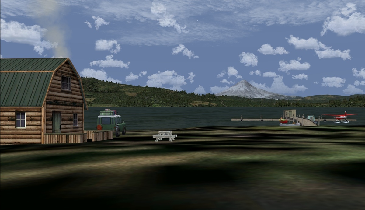 Click to Enlarge
 Click to Enlarge
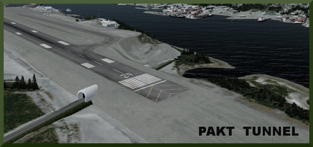 Click to Enlarge
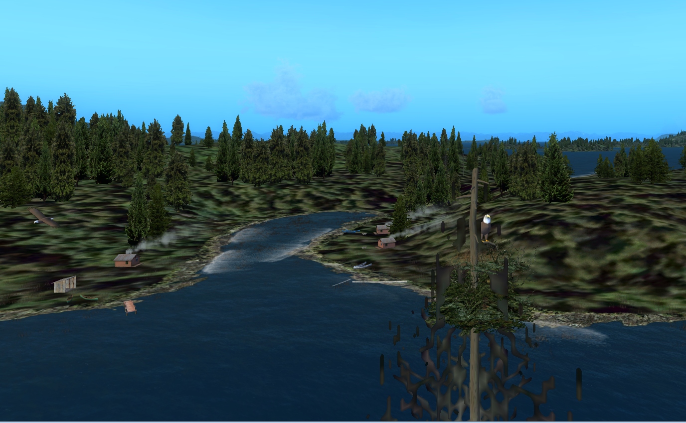 Click to Enlarge
 Click to Enlarge
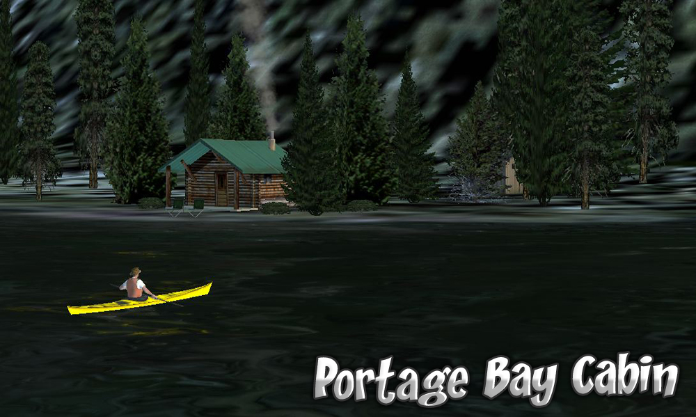 Click to Enlarge
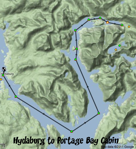
 Click to Enlarge
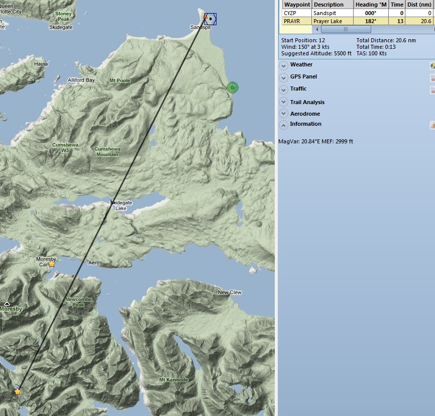
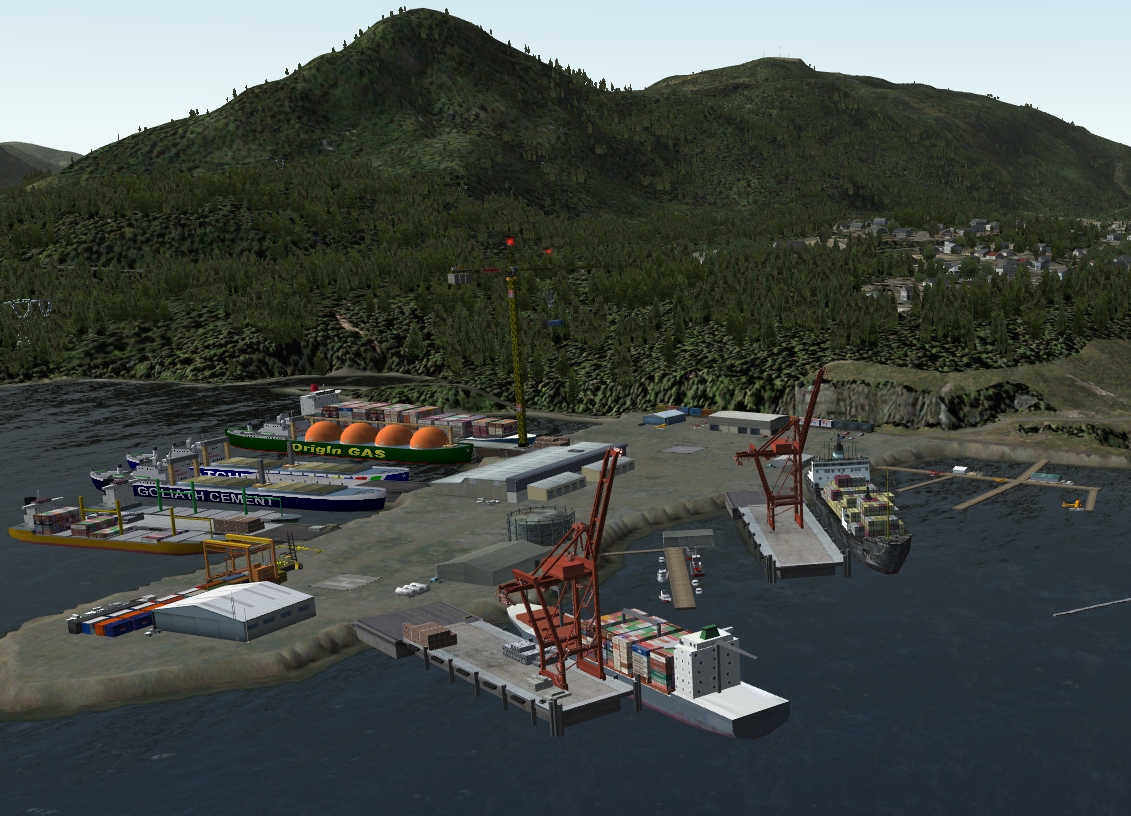 Click to Enlarge
 Click to Enlarge
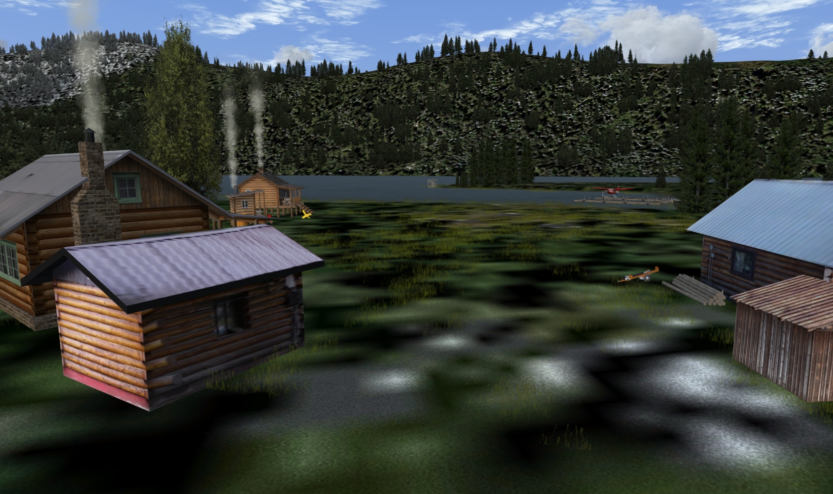 Click to Enlarge
| Q | ||||||||||||||||
| Quall River Fish Camp (Refreshed 06.02.2019) Airport Code (PF09) Scenery created by Brad Allen Storyline compiled by Brad Allen and Kim Gowney Start: W147 59.7574 ... W129 22.6020 - Mag: 270.7 ... Land ... WP: PF09 Quall River Fish Camp is set up to accommodate aviators and mariners. There's a dirt airstrip that caters to the small aircraft operator and several docks for mooring small watercraft while preparing for a trip along the river or into the nearby inlets. Be sure to take note of the inland side of the airstrip because the land rises up abruptly from the threshold. There are red and white poles and markers strung between the poles to help pilots clear the obstacle safely. Fishermen will find a variety of fish including sucker, bull trout and steelhead trout here. Whether you’re spinning, fly fishing or bait casting your chances of getting a bite here are good. So grab your favorite fly fishing rod and reel, and head out to the Quall River. If all goes well, the sucker will be hooked by your grasshoppers, the bull will be biting your minnows and the steelhead will be grabbing your crayfish. Please remember to check with the local Fish and Wildlife department to ensure the bay is open to the public, and that you have the necessary fishing license. Now what are you waiting for? Get fishing! The Quall River estuary is one of the top-ranking wetlands along the North Coast. Large numbers of waterfowl, including the blue-listed old squaw and trumpeter swan, use these diverse wetlands, which extend from the intertidal zone up the river valley. Large numbers of salmon and steelhead also spawn in the river. Yellow cedar, hemlock and fir stands as well as muskeg and several lakes are contained in the conservancy. The area is of social and cultural importance to the local First Nations people. It is in the asserted territories of the Gitxaala and Gitga’at First Nations. K’wall Conservancy is accessible by boat and small plane and is located 30 km N or Hartley Bay and 60 km SW of Kitimat. Alty Conservancy, (within which is the dirt airstrip PF09) protects Kiskosh Lagoon and Alty Lake, an area of high value for grizzly bear and bird habitat. This conservancy borders with K’Mooda/Lowe-Gamble Conservancy, K’waal Conservancy and Klewnugget Conservancy which together protects a network of inland lakes. Alty Conservancy contains three remote pristine lakes, old-growth forests, several streams and wetlands. It has a diversity of wildlife habitats along with mountain scenery. Access into this wilderness area can be difficult and usually requires air transportation. Alty Conservancy is only accessible by boat, floatplane or helicopter and is located about 10 km north of Hartley Bay and 70 km south of Kitimat. The conservancy is located at the end of Kiskosh Inlet and is bordered to the southwest with K’Mooda/Lowe-Gamble Conservancy, to the northeast with K’waal Conservancy and to the west with Klewnugget Conservancy. Cultural Heritage: First Nations people historically fished, hunted and trapped in the area, using a trail system stretching from Kiskosh Inlet to Lowe Inlet. Conservation: The conservancy protects undisturbed old-growth forests of cedar and hemlock, wetlands, wildlife habitat and the watersheds of Alty Lake, Backlund Lake and the southern half of Gavel Lake. Kiskosh lagoon and Alty Lake have high values for grizzly bear and bird habitat. Wildlife: Grizzly bears, wolves and waterfowl can be found in Kiskosh lagoon.
|
||||||||||||||||
|
Quiet Nights Cabin - (Refreshed 06.17.2020) By Doug Linn Start: N53 51.9680 ... W129 53.5724 ... Mag: 175.9 ... Water ... WP: R217A All of us have a favorite place to go to in FSX … for me its a quiet place far from the noise and confusion of the real world. Quiet Nights Cabin is such a place. About 31 miles southwest of Prince Rupert, a short and scenic flight down the Grenville Channel. The location is just a simple cabin, a canoe for paddling to the mainland for a little hiking … but mostly a place just to STOP and take in the beauty of British Columbia Sunset on the porch or on the bench down by the water is a special treat. A nice campfire will warm the evening chill.
|
|||||||||||||||
| Back to Top | ||||||||||||||||
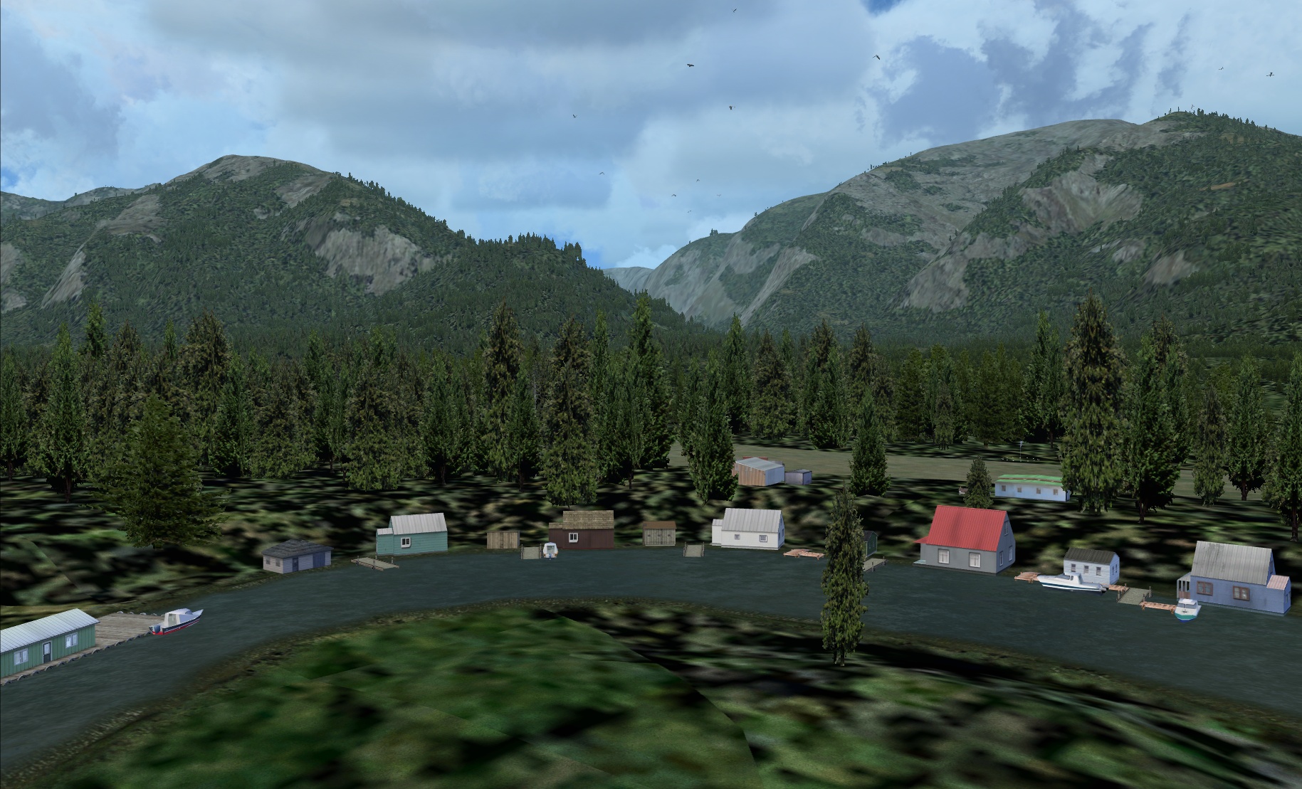 Click to Enlarge
 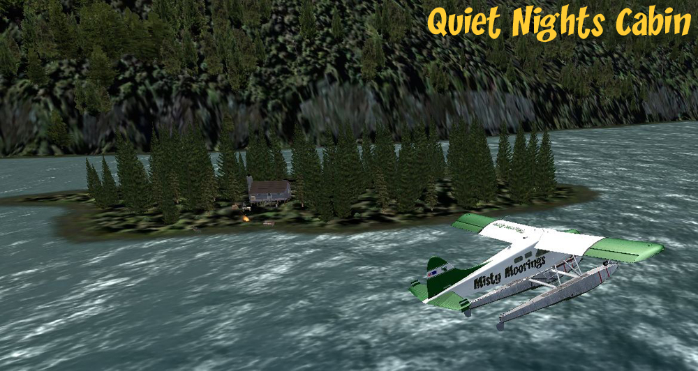 Click to Enlarge
 | R | ||||||||||||||||
| R & R Retreat (Refreshed V2.0 - 06.02.2019) by Brad Allen Start: N56 16.3403 - W128 10.2868 - Mag: 186.7 - Water ... WP: R218A Nestled against a picturesque lake, R&R Retreat showcases the wilderness in style. Guests have access to two comfortable cabins and the Lodge which has a kitchen and all supplies to put together a great dinner. Hunters, adventure seekers, and other visitors enjoy a sauna and hot tub as well. Floatplane access only. There are five different seasons available in this scenery. All you have to do is select your time of year and the trees and surrounding terrain will change accordingly.
|
||||||||||||||||
|
Rainbow Mountains Lodge - PF19 (Refreshed V2.0 - 06.15.2019) By Brad Allen Start: N54 56.0884 ... W125 32.5339 ... Mag: 192.8 ... Land ... WP: PF19 The remarkable colors of the Rainbow Range in Tweedsmuir Park are caused by specific minerals involved in the volcanic formation of the range. This wild, rolling alpine is a favorite of hikers but is even better seen from the back of a horse. There are outfitters based near Anahim Lake that would be happy to take you on an adventure pack trip through the range. It is also a favorite of snowmobilers in winter as well as skiers and cross country skiers. Rainbow Mountains Lodge is a fictional location situated amongst the unspoiled beauty of the area. There is a dirt airstrip for bush flying operators to use. This scenery uses seasonal scenery so you'll need to install the RTMM Season Switcher Utility by Rod Jackson if you haven't already.
|
|||||||||||||||
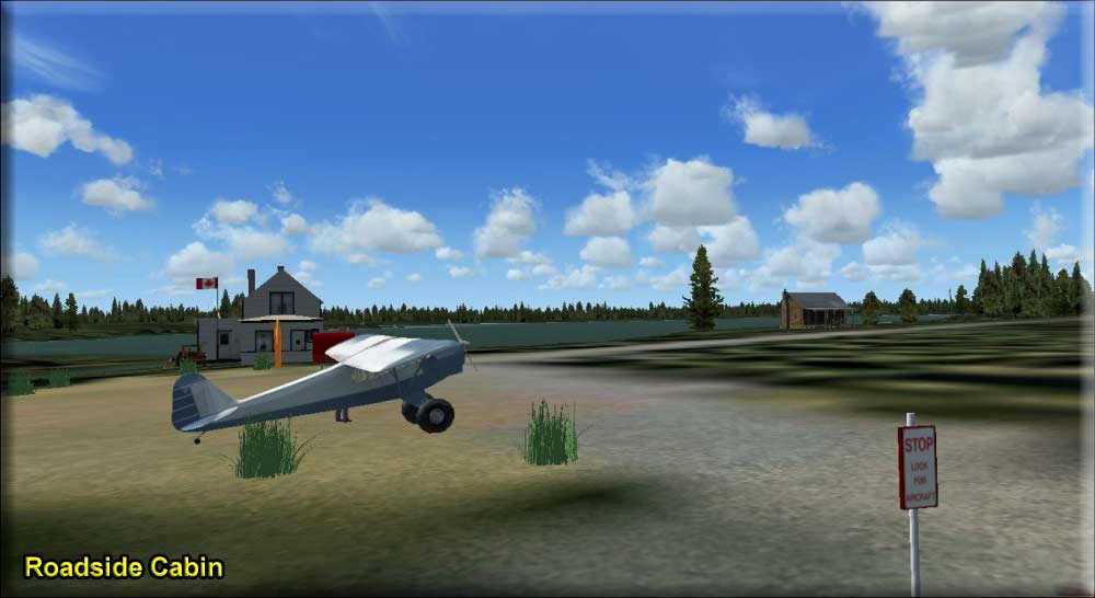 |
Roadside Cabin by Ryan Padgett (Refreshed V2.0-06.02.2019) Start: N53 40.4009 ... W131 59.2075 ... Mag: 84.7 ... Water ... WP: R219A The Roadside Cabin was originally owned by Noel Ruiz, a Canadian airline pilot, as his spot to go when he was off-schedule from flying big jetliners around the world. Eventually, after flying for many years, he retired with a large sum of money and lots of free time. He sold his house in Sandspit and moved full time to his cabin. A while later, he built a larger house near the original cabin and lived there. The log cabin fell into disuse for a while, until Noel decided he should do something with it. Noel wanted to keep the cabin for himself since he owned it for so long, but he didn't like to see it slowly rotting away into the earth. After some time searching, some misty moorings pilots found out about his dilemma and offered to repair his cabin if their group of pilots could stay there. Noel agreed, and the cabin was rebuilt for our pilots to stay at.
|
|||||||||||||||
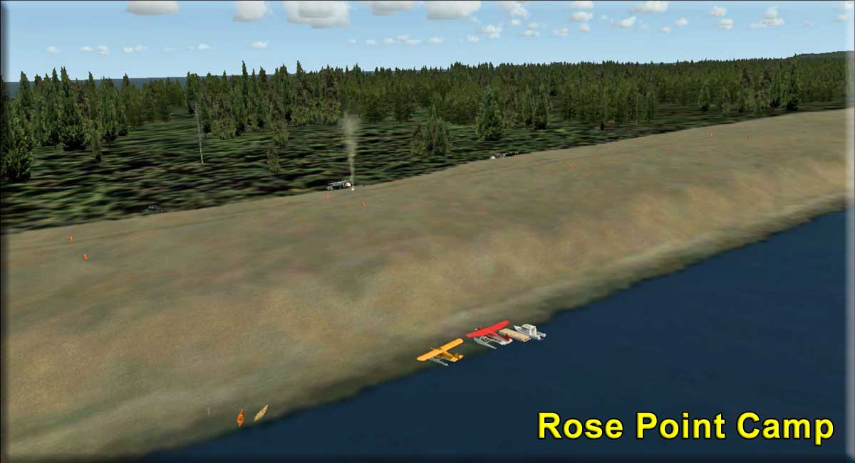 Click to Enlarge Click to Enlarge |
Rose Point Camp - by Ryan Padgett (Refreshed V2.0-06.02.2019) Storyline by Ryan Padgett Start: N54 8.7187 ... W131 40.6192 ... Mag 285.8 ... Land ... WP: R220A Rose Point is the north-eastern point on Canada's largest archpeligo, Haida Gwaii. Although there are only two airports and three seaplane bases on Haida Gwaii, there are many off-airport locations to fly to. A little while ago, a couple of local pilot's marked off a flat, hard spot on a sandbar east of the town of Masset. After a some time, it grew, and Rose Point Camp became a nice destination to stop on for a couple of days and take a break. There are cones marking the hardest park of the sandbar, where it is safe to touchdown, but you can still roll out safely outside of the cones. There is a log dock on the shore, but floatplane pilots should beach their plane on the shore instead of tying up to the dock. You can borrow canoes from Mr. Rokus, the man standing next to the canoes. Some people drive in from the town of Masset on the beaches or take a boat from Masset harbor. So, grab a tent, some firewood and come on out to Rose Point Camp!
|
|||||||||||||||
|
RTMM Docks - By Doug Linn (Refreshed 06.06.2020) Starting Positions: (Use Locations adding TFXX as the ICAO for "go to airport") WP: Use TFXX number Often when we start from a Sea Plane Base, the water runway is over a mile from the actual dock, meaning you will not see the scenery that is around the dock. (This is especially true of Tongass Fjords X). Be sure when you are in the "GO TO AIRPORT" mode you look at the starting point and select a dock, not the water runway. There are, however "unlisted" docks and water starting points that can be helpful for your navigation, both surface and air. We have created a file that adds these for your pleasure, the RTMM_Docks.zip file. Each location has been "landscaped" ... piers added, etc to make the starting point more interesting. RTMM_Docks.zip is a package you download from Return to Misty Moorings from the zip button below. When you unzip this folder you will find this readme text file and a folder named RTMM_Docks. Place this folder in your Addon Scenery area for Misty Moorings and activate it in the Scenery Library for FSX or P3D. In FSX or P3D, when you select the WORLD / GO TO AIRPORT dropdown, all these dock starting points will now be available to you. To start at one of these, you can find them on the Starting Points table on the "Here to There" page. Do a CTRL-F and search for "#". Many of these docks are beautifully done with small communities around them, and you will never know they are there unless you seek them out. NAMING NOTAM: There are many "unlisted docks". We name those continuing with the "Pacfic Fjords" numbering system PFxx. For Tongass Fjords X, we will use TFxx. (See Below). All of the exact latitude, longitude and starting headings are listed on the Starting Points table at Misty's Place / Starting Points button. After putting this scenery folder in and activating it, if you ask Plan-G to collect the FSX data, those will all now be included for you on Plan-G. Locations: (Use "TFxx" for Go To Airport for starting position and Way Points) TF01 Cape Decision Lighthouse
| |||||||||||||||
|
Click for Web Page |
RTMM Medical Facilities and Medical Dispatches If you only want the medical facilities: In this program you will be able to simulate flying to a medical casualty, landing (in some bush-type areas), and returning your patient to an RTMM Medical Facility. This program set gives you 35 RTMM Medical Facilities scenery locations throughout our area. These can "stand alone" without the dispatch program. So you can use these alone or with the dispatch program. Click to go to the Medical Facilities and Medical Dispatches Web Page -->
<-= Download of Medical facilities only. If you want to use the Medical Dispatches: There is a special library of objects that comes with this program that must be downloaded and installed to run the dispatches. Then there is the actual Medical Dispatches folder that you download and install, just like a scenery location. You should read through the Quick Start Guide (Readme zip below) to better understand this program. If you want to use the MedEvac Dispatches, you should go to the Medical Facilities page and read the quick start guide. You can also see it by clicking on the "Read Me" button below.
|
|||||||||||||||
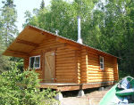 Click to Enlarge Click to Enlarge
|
RTMM Missing Cabins (Refreshed 06.15.2021) The ORBX scenery comes with MANY USFS cabins, but not all of them. RTMM has gone to the USFS page and found the cabins that ORBX missed. Those are all in the "RTMM Missing Cabins" scenery folder. You can also get information on all of the USFS cabins on the "USFS Cabins" page here at RTMM. The "zip" containing "RTMM Missing Cabins" can be found at the top of the USFS Cabins Page and or downloaded clicking the zip button below. This will give you 115 more USFS cabins above and beyond the 351 already in the ORBX Software.
|
|||||||||||||||
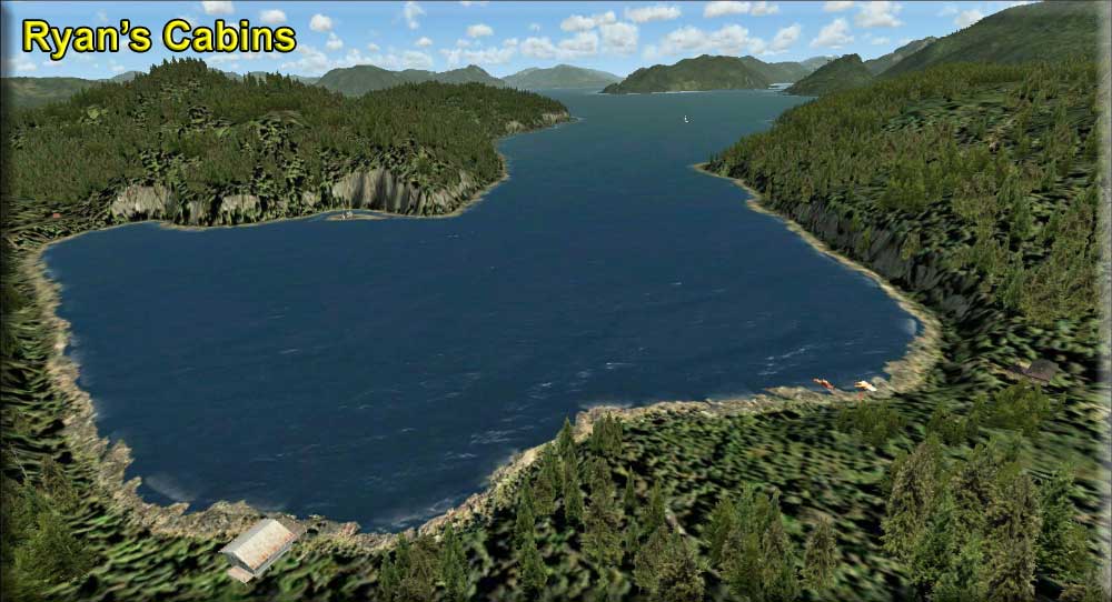 Click to Enlarge Click to Enlarge |
Ryan's Cabins - (Refreshed V2.0 - 06.02.2019) Summerville Bay: N54 46.85 ... W130 13.67 ...Mag 353 ... Water ... R The land in and around British Columbia is very beautiful, with tall mountain peaks and low valleys filled with lush rain forests. Many people come to the area to enjoy the wilderness and have fun outdoors. There are many places to stay at, from expensive lodge's to campgrounds, where you can use as a home base for your adventures. One of these places is a few cabins north of Prince Rupert on Somerville Island. These cabin's are maintained by Ryan, one of the scenery designers at the Return To Misty Moorings. Ryan lives in the largest cabin, and keeps the other two nearby cabin's in good condition for the RTMM people to stay at. You are welcome to come by sometime. Just get the key from me at my cabin, get yourself over to them, and enjoy the wilderness! You can fly in from Prince Rupert airport in a wheeled plane, and land on the sloped strip, or fly your float plane (or drive a boat) from the nearby Kincolith Seaplane Base. Flight plan's have been included from both of the options. Landing in a float plane is fairly simple hear, just fly over and check the windsock near the dock for my cabin, and then, landing into the wind, touch down in the bay. Landing on the airstrip is a but more challenging, as it is 540 ft. long and sloping. With the slope, you only need to touchdown on the flat spot and let your airplane roll up the hill. I recommend, after you slow down, applying full power an taxiing to the top of the airstrip, as this makes it mush easier to takeoff. If you land and stop on the uphill, carefully let the airplane roll backwards, and then go to takeoff power to climb up the hill. Once you have parked at the top, either walk on the dirt path or start up the ATV and drive down to me. I'll give you what you need to stay here. There are two cabin's in which you can stay, one right on the beach and another on a short path a ways up. There is an old trapper's cabin on an island, but that is the stations for the NDB and not fit for staying in. You can tune the NDB in applicable planes on 476.0. Lastly, there is a Canadian government lookout station up on the nearby mountain side above the cabin's. It is somewhat hard to find, and they don't like lot's of traffic, but you can still fly over it and take a look. Come by anytime, and enjoy what mother nature has to offer!
|
|||||||||||||||
| Back to Top | ||||||||||||||||
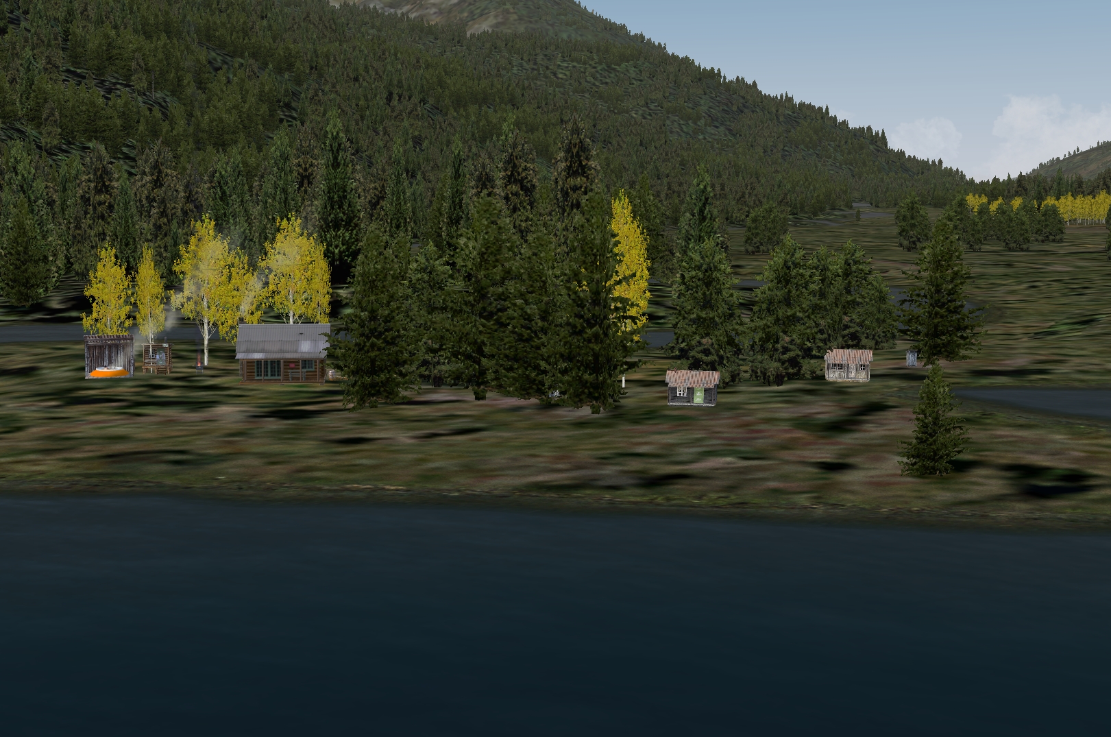 Click to Enlarge
 Click to Enlarge
| S | ||||||||||||||||
| SAK - Sea Plane Bases V2.1 (Refreshed 06.10.2019) Scenery by Brad Allen and AI Traffic by Dex Thomas Starting Positions: (See Locations Below) This scenery will add some shoreline enhancements to several seaplane bases in the Southern Alaska region (SAK), developed by ORBX/FTX. The AI Seaplane enhancement this scenery is designed to work in tandem with is the Return to Misty Moorings SAK Seaplane Bases AI Traffic developed by Dexter Thomas. You need to also have Tongass Fjords X from FSAddon installed to make use of the AI Aircraft models. Please make sure that all three of these requirements are met before attempting to use this scenery or you will not enjoy the full feature set it was designed for. (Please read and follow all installation instructions carefully for this file to work properly) SAK Floatplane Bases scenery will give AI traffic and you a place to pull up to at the following locations in Southern Alaska: Locations: (Use Go to Airport with ICAO or RTMM Remote Startup Scenarios)
|
||||||||||||||||
 Click to Enlarge Click to Enlarge
|
Scar Creek Lodge by Doug Linn (Refreshed V2.0-06.15.2019) Land Start: N51 10.8660 ... W125 2.1703 ... Mag: 288 ... WP: R222A Water Start: N51 10.8856 ... W125 1.6882 ... Mag: 67 Helo Start: N51 10.8537 ... W125 2.2019 ... Mag: any Wikipedia: Scar Creek Airport (TC LID: CBA7) was a small general aviation airport located near Scar Creek, British Columbia, Canada. The airport was listed as abandoned in the 15 March 2007 Canada Flight Supplement. However, with RTMM magic, Scar Creek has been re-activated. We have re-opened the lodge and cabin areas. There is a new float plane dock (with fuel) and a 24/7 shuttle bus that can take you from the little terminal area to the lodge over the bridge. Night lighting allows you to land safely at the airport during low light/night hours. This location is equipped with the RTMM Season Switcher so you have different things going on for each season. You can read about the Season Switcher on RTMM's FAQ page (under "S"). Flying to and from Scar Creek demonstrates one of the most beautiful areas in British Columbia. There are two flight plans for this one. The first is from Westwood Inn. This is a lengthy but BEAUTIFUL flight, staying low and slow over water, an easy flight. The second is from Tsuniah Lake Lodge is through high mountain narrow valleys. The second is a little shorter, beautiful scenery, more dangerous (see map #2). You should put in RTMM's Westwood Inn (for Route 1) and RTMM's Tsuniah Lake Lodge (Route 2) locations and activate them to make these flight plans work for you.
|
|||||||||||||||
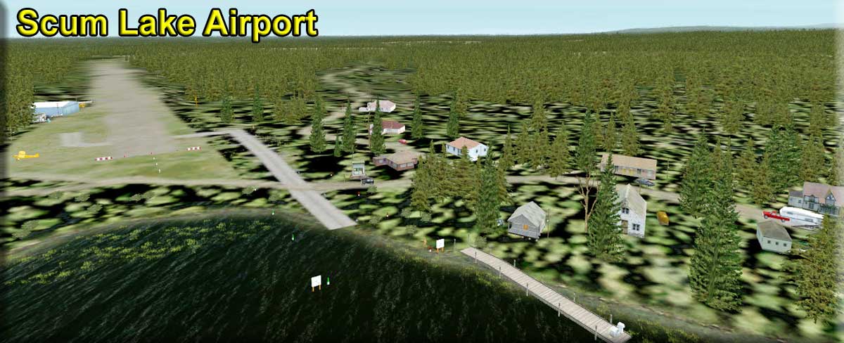 Click to Enlarge Click to Enlarge
|
Scum Lake Airport CAW3 by Doug Linn (Refreshed V2.0-06.15.2019) Ground Start: N51 47.6177 ... W123 35.1832 ... Mag: 257 ... WP: CAW3 Water Start: N51 47.5226 ... W123 35.3220 ... Mag: 39.5 Helo Start: N51 47.6375 ... W123 35.1295 ... Mag: any This is an enhancement of Scum Lake CAW3. In ORBX NRM, it is only a runway and a single hangar. This scenery addition adds a small community to on the north end of the lake. It adds the campsite that is back off the water. and the Fishing Lodge area also near the north end of the lake. There is fuel for floats and for ground geared aircraft. There are approach lights for dusk, dawn and night operations. There is a float plane dock and an amphibian pullout with a (bumpy) taxiway to the airport complex.
|
|||||||||||||||
| Sea Rescue #1 (Refreshed V2.0-06.02.2019) By Xavier Carre' Start: CYPR ... WP: Unknown Very bad weather conditions on Alaska and British Columbia coast.
A fishing boat has been reported as in distress.
A radio call from "Salmon Dinner" has been heard from Triple Islands lighthouse
(BC), voice was terrified, crewman has reported 8m waves, they are trying to reach a
haven. A commercial airplane reports having seen flares in the area.
All pilots, sailors and boats men are requested to locate the"Salmon Dinner"
fishing boat, and recover crew, if possible. We suggest as rescue team : all planes, helicopters and boats Rescue teams starting point : Prince Rupert (CYPR), Prince Rupert Digby Island
|
||||||||||||||||
| Sea Rescue #2 (Refreshed V2.0-06.02.2019) By Xavier Carre' Start: CBY5 ... WP: Unknown Seal Cove Coast Guard Heli station – CBY5 – 6:00 PM
|
||||||||||||||||
 Click to Enlarge Click to Enlarge |
Sewall Lodge (Updated V1.5 - 06.02.2019) FSX Airport Name: "Sewall Airstrip" - FSX ICAO Code: "PF24" Scenery & Story created by Xavier Carre' and Brad Allen Start: N53 45.8057 ... W132 18.0530 ... Mag: 339.2 ... Land ... WP: PF24 While flying over Graham Island in the Queen Charlotte Islands ( British Columbia, Canada ) you will find many patches of areas without trees. Large squares of earth only showing ground litter the landscape as far as the eye can see. For decades on end, trees were chopped down to feed the numerous sawmills of the Queen Charlotte islands. Today, you can still see some large sawmills operating around Port Clements just across the inlet from Sewall. Sewall however is an old small sawmill town. And while the mill is still occasionally active, only two people still work there. Sewall has changed but people still need places to spend their leisure time at. Welcome to Sewall Lodge! This location is a great get away destination because there is a beautiful sandy beach along the shoreline. And it's one of the only beaches in the Masset inlet area where people come to swim at when summer time arrives. All year long though people come here to fish, hike and hunt or just to get away from the mainland. When the camp first started there were only a few small cabins. Then a few small houses came along and then some larger ones. But soon, the word spread about the beauty and unique location to be found here so the small holiday houses were not enough for the growing number of people who came to visit. The owners decided to build a log cabin lodge that could accommodate more people and once it was built, more guests arrive each year to spend time enjoying the locations scenic splendor. However, Sewall Lodge is isolated and will need to be supplied by air and boat. The airstrip is sufficient in length for bush operations and there is a floatplane ramp on the beach that can be used to and from the water. A hangar facility for lodge and aircraft maintenance was built recently and mechanics are on call.
|
|||||||||||||||
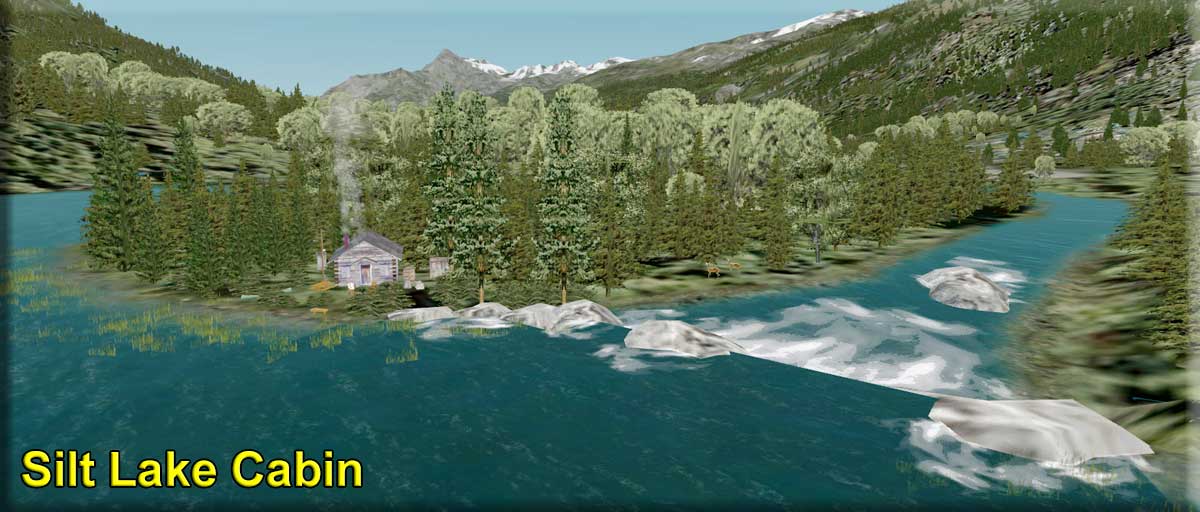 Click to Enlarge Click to Enlarge
|
Silt Lake Cabin by Doug Linn (Refreshed V2.0-06.15.2019) Start: N50 43.6262 ... W123 40.7369 ... Mag: 146 ... WP: R223A A small cabin located on Silt Lake in British Columbia, upstream from Keyhole Falls. There is a waterfall beside the cabin at the outflow from Silt Lake. Silt Lake is a runoff lake from a nearby glacier. This lake freezes in winter. This is located about 25 NM from Big Creek Lodge. The flight plan takes you through the valleys and cuts through some beautiful mountain terrain. Install Big Creek Lodge, and fly to this location from there.
|
|||||||||||||||
| S.I.R.P. Stikine Icefield Research Prog (Refreshed V2.0-06.02.2019) DESIGNER CREDITS: Original FS2004 Scenery was created by "The Amigos", Bill Dick, Phil Cayton, Glenn "Woody" Fout, Doug Linn and Ed Truthan. This new SIRP for FSX was created and designed by Mike Broemme. Objects and texture adaptations for FSX and P3D by Brad Allen.
All way points are on the Location Information Table Based on it's real world counterpart, the JIRP (Juneau Icefield Research Program), this scenery package places 10 isolated research camps at various locations in the vast Stikine Icefield that straddles the Alaska/British Columbia border. This area has been beautifully rendered with glacial textures and accurate land class in the Tongass X scenery package, but has often remained a rarely traversed and under appreciated region. There's a great deal of stunning wilderness scenery out there, and it's our hope that this package will provide fliers an opportunity to challenge their VFR skills while visiting some interesting ice field destinations. These camps vary from well equipped regional supply centers to lonely, wind battered outposts. In addition, all fire, smoke have been specially designed for this release in an attempt to bring a unique "arctic wilderness" feel to the scenery. This package has a new feature that is optional for P3D V4.2 users. The runways become ice with very little friction. The default is FSX and P3D V3.
|
||||||||||||||||
| S.I.R.P. Lights Addon by Doug Linn (Refreshed V2.0-06.02.2019)
For some people, certainly not all, flying in lower light conditions is interesting and exciting. "Dusk and Dawn" bring out some of the most brilliant colors you'll ever see in the flight sim. As Mike has stated, adding "approach lights" to ice stations is not very realistic, so some people may well wish to avoid this addon. During daylight, Mike's smoking barrels help you line up on the difficult-to-see icy and snowy runways at the ice stations. But at dusk, the "fire goes out" and the smoke stops (as it is supposed to do). It is at this time that the runway approach lights of "SIRP Lights Addon" will help you find and align your aircraft to land safely. This is added as a separate "scenery addition." You can turn this on and off by checking or unchecking it in your scenery library.
|
||||||||||||||||
| Skagway for RTMM and SAK - (Floating Houses Fix) (Refreshed 06.02.2019) By Brad Allen This scenery attempts to give the city a more turn of the century look and also helps remove any Autogen buildings that sometimes float above the surrounding terrain. Look for more scenery details around the city area and we were careful to make sure that our additions do not infringe on what’s been placed already by the ORBX team. We added train objects from our libraries to help enhance the railroad areas around the city. Especially where the narrow gauge White Pass train currently picks up passengers at the Cruise Ship dock area. The nighttime lighting around the city is also enhanced and gives the area a new look and feel so be sure to see this area when it’s dark.
|
||||||||||||||||
| Skeena River Life (Refreshed 06.14.2020) by Xavier Carre' This is a set of additional sceneries covering area from Prince Rupert ( Digby island) to Terrace (Skeena River lodge).These are 14 locations along the Skeena river : Osland harbor, Port Essington, Scotia Camp, Komaham Lodge and much more. There is also a very little, and make-believe, airstrip : Terrace Ultralight airstrip (no ICAO id.) Along the river, you will find wildlife, friends, nice places, maybe the steam locomotive and more. Sounds are included in some areas. Better way to discover : Take a boat at CAN6 Prince Rupert/Digby Island SPB and follow the included Plan-G flight plan, you can also use a small airplane. Navigation on Skeena river may be difficult ( some rapids, aka: " Holger's tsunami") Hungry ? You can lunch at Brad's Bait BBQ ! This trip on the river ends at Skeena River lodge, so you must take an aircraft to reach Terrace airport, through a wonderful small valley.
|
||||||||||||||||
|
Skeena River Lodge (Refreshed V2.0-06.15.2019) by Doug Linn with a little help from Xavier Carre Start: N54 33.1999 ... W128 28.3300 ... Mag: 228 ... Land ... WP: R224A Yes there is a Skeena River Lodge ... about 15 miles from Terrace, BC. This is a beautiful area with many lakes, rivers and mountains and for that reason we chose it as a "headquarters" for our river and lake trips that we will be launching in this area. You will find a lodge, 2 cabins, a maintenance building and an office. You'll also find a launching pier for canoes (with a rapids!). The road in front of the lodge has been turned into a runway for light aircraft. And at the end of runway 7, you'll find a fine pier sized for larger boats and sea planes. If you need help with your bags or you need fuel, use the phone on the dock and Joe will come in his pickup and help you. Boat Mooring at Rwy 7 Pier: N54 33.21 W128 28.57 Heading 228
|
|||||||||||||||
| Skeena River Run (Refreshed V2.0-06.02.2019) by Doug Linn This scenery packages puts in navigation markers from outfall of the Skeena River to Skeena River Lodge (30 miles) that is located upriver from Terrace. There are several water anomalies encountered on this river, and all have been handled to route the user around them or create rapids and waterfalls from them. This is a serious "float plan" that takes you from Prince Rupert SPB all the way to the Skeena River Lodge. You should be sure to have "Skeena River Life" and "Skeena River Lodge" to use this package correctly. (Pic to see TripTic Config) (update fixes another rapids and updates the flight plan)
|
||||||||||||||||
| Snow Dog Tours (Refreshed V2.1-12.17.2019) Scenery Created by Brad Allen Concept and Storyline by Brad Allen Snow Dogs Tour Base Objects Created by Chris "MoCat" Carel Custom Sign Objects Created by Steve Weinkamer Alaska Adventures Virtual Airline Interface by Norm Richards Take off on a journey across the largest state in the United States of America, Alaska. Nicknamed the "Last Frontier", Alaska is massive and with 75% of the state inaccessible by road, small, single-engine planes known as ‘bush planes’ are the backbone of intrastate transportation. They carry tourists, residents, hunters and supplies to desolate areas of the Bush. They take anglers to some of the best fishing spots in the country and drop off backpackers in the middle of untouched wilderness. This scenery package will highlight several larger airports and small dirt, gravel and grass airstrips with custom scenery using objects from the original "Snow Dogs Tours" scenery by Chris "MoCat" Carel. However this time you'll be a simulated pilot flying for "Misty Air" and/or "Alaska Adventures". "Misty Air" is a fictitious operator that is owned by "Return to Misty Moorings" (RTMM) and "Alaska Adventures" (AKA) is a Virtual Airline that flies around Alaska and other destinations. Both operations on this trip will be represented by scenery objects along the way that provide a welcome place to pull up to on your journey. These partners work together to provide a welcome place to sit and take a break in the warm hangars or nearby restaurants, taverns and other places to rest at when you need to refuel yourself or your aircraft. Speaking of refueling, most of the airports you'll visit on these tours have refueling facilities but those facilities are not included with custom fuel triggers in this scenery package. Not yet at least, (Give Doug a few days and he'll come up with something), so you'll need to manage your fuel as any responsible pilot should do. Norm Richards of Alaska Adventures has worked alongside RTMM on creating this journey and if you're a pilot at "Alaska Adventures" Virtual Airline then you'll be able to gain access to this tour through the Pilot Tours section over at Alaska Adventures. Once you're signed up as a member that is. For Return to Misty Moorings users, this scenery will be accessible on the "Scenery" page at RTMM under "S". At the present time, there will be a total of four of these tours under the RTMM/AKA partnership so look for more of these tours coming in the near future. NOTAM: ORBX FTX Airports (Freeware) must be installed for this package to work correctly. Use ORBX Central ... select GLOBAL RANGE ... OTHER and select AIRPORT PACK and install it. (It is freeware!)
|
||||||||||||||||
 Click to Enlarge Click to Enlarge
|
Spoiler's Lodge at Rampart, AK (Refreshed V2.0-06.15.2019) By Doug Linn - A BWEP Addon for the INTERIOR section Start: N65 30.7657 - W150 9.2936 Mag: 150...Water WP: R225A This is "Spoiler's Lodge" at Rampart, AK. This is an "outlier location" for the BWEP Pipeline scenery. This is a small lodge with 4 associated cabins situated on the beautiful and wild Yukon River. The lodge is connected by a road to the RAMPART (RMP) airport. In Fall, Winter and Spring, there is ice at the dock, but in the summer you can land a seaplane and park at the dock. Suggested departing airports are in BWEP "The Interior": Chatanika (PF59), Livingood Camp (4AKL), Hess Creek (PF60), and Cursed Hills (PF63). The name comes from a book by Novelist Rex Beach who moved to Rampart during the
|
|||||||||||||||
|
 Spud's Beasley Creek Retreat Spud's Beasley Creek Retreat(Refreshed V2.0-07.03.2019) Scenery by Brad Allen and Mike Broemme Start: N59 34.70 ... W139 9.35 ... Mag 276 ... Land Start: N59 35.07 ... W139 9.52 ... MAG 262.4 ... Water ... WP: R226A This scenery is a tribute to one of our contributors and staff members here at Return to Misty Moorings, Guy "Spud" Maricich. "Spud" was born on Oct 11, 1939 in Idaho and raised there. During his time in the US Navy he earned his wings and was a Naval Aviator. He used the call sign "Spud". (Spud is a nickname for a potato - and Idaho is known for its potato crops). After his Navy pilot career ended he relocated to Pensacola, Florida and lived near the Naval Air Station there. He was an avid Flight Sim user and my wife and I had the pleasure of spending some time with him one afternoon. We talked about his time flying in the Navy and how flight sims kept him in the seat so to speak. He always had lots of stories and experiences that he shared with us at Misty's Place. How he flew Douglas A-1 Skyraiders from carriers early on the Vietnam war then later Navy Helicopters. For us at Return to Misty Moorings, "Spud" contributed immeasurably with our development as he handled all of our Quality Control needs. He had a keen eye on spotting something that was out of place and needed attention. He was always willing to assist any newbies and get them sorted out when they needed help with a troubleshooting request in our forums. And he'd be sure to remind every new pilot that joined up at RTMM that it was a first timer's duty to buy the next round at Misty's Place. He spent time on many Flight Sim Forums offering assistance, enthusiasm and contributing positively to the hobby. Guy "Spud" Maricich passed away September 29th, 2018. Fair winds and following seas my friend. You will be missed. Rest in Peace.
|
|||||||||||||||
|
Spud's Creek (Refreshed 06.13.2020) Scenery by Doug Linn ... location by Guy Maricich Start: N55 26.8666 ... W130 12.8420 ... Mag 159.3 ... Water ... WP: R227A While boating down the Portland Canal south of Stewart, "Spud" came upon a little creek that was flowing into the canal. Being the curious sort he is, he turned up the creek and discovered a great little river run for Misty Moorings. This package includes a Brad's BBQ at the mouth of the creek, campsites, a small cabins along the way and a cabin with a very short landing zone at the headwaters of the creek. This is an excellent "starter" run for a new boater, but also fun for the fliers who want to see a "landscaped" river.
|
|||||||||||||||
 Click to Enlarge Click to Enlarge |
Staney Creek Cabin (Refreshed 06.02.2019) By Brad Allen Start: N55 49.2753 ... W133 9.3713 ... Mag 247.1 ... Water ... WP: R228A This is a Park Service cabin located at Staney Creek near Klawock. Staney Creek Cabin offers visitors recreation, relaxation and a unique lodging experience on Prince of Wales Island in Alaska's Tongass National Forest. The remote site offers a scenic setting for fishing, hiking, hunting and wildlife viewing, all within the vicinity of the cabin. The site can be accessed by vehicle and a half-mile hike, boat or by float plane. This scenery enhances the Tongass Fjords X scenery area so you'll need that installed. Of course you can use this scenery with Return to Misty Moorings as we expand into the Tongass Fjords area!
|
|||||||||||||||
|
Summit Lake Resort (Refreshed V2.0-06.15.2019) Scenery by Doug Linn Start: N55 14.1262 ... W132 30.9745 ... Mag 84.0 ... Water ... WP: R229A A high mountain lake resort consisting of a lodge and 5 A-frame cabins. This is within 20 minutes of PAKT over on the Prince of Wales Island. A great get-away. Also in the area to visit, Dan's Hideaway, Miller Lake and Aiken Creek Cabin. Visiting all is an interesting trip with some tricky navigation. Lake does not freeze in winter.
|
|||||||||||||||
| Back to Top | ||||||||||||||||
 Click to Enlarge
 Click to Enlarge
 Click to Enlarge
 Click To Enlarge
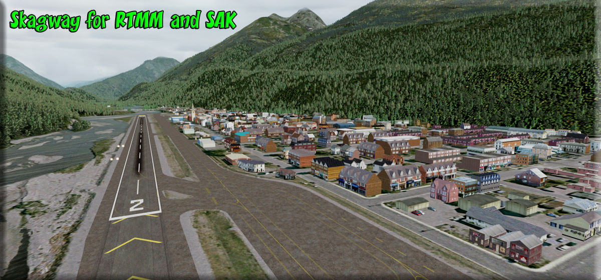 Click to Enlarge
 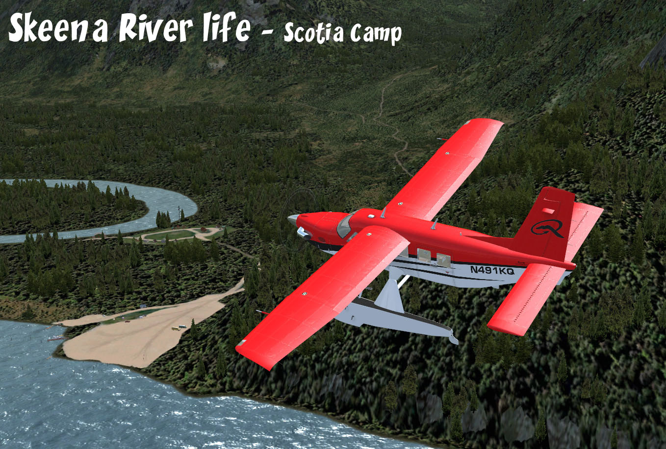 Click to Enlarge
 Click to Enlarge
  Click to Enlarge
  Click to Enlarge
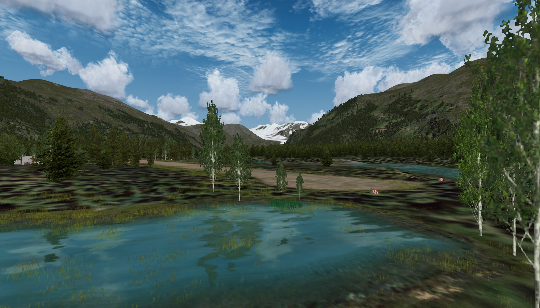 Click to Enlarge
 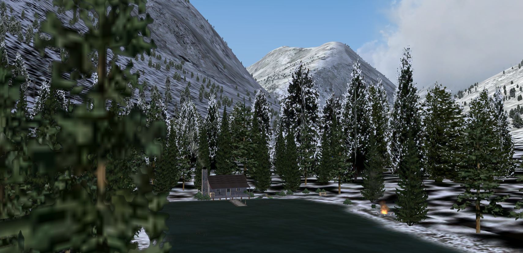 Click to Enlarge
 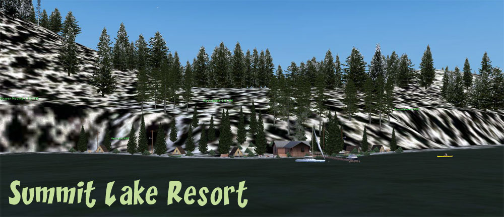 Click to Enlarge
 | T | ||||||||||||||||
|
Taku Lodge (Refreshed V2.0-06.15.2019) By Xavier Carre' and Jacques Alluchon Start: N58 29.4530 ... W133 56.5320 ... Mag 002.8 ... Water ... WP: R230A NOTAM: Lodge Permissions: Posted with Permission from Holly Johnson, President Wings Airways/Taku Lodge (June 29, 2014) NOTAM: Season Switcher (hard winter) trees and bushes were added to make this special location a "season switcher". Each original tree and bush was replaced with a "HW" (snowy) counterpart, no other changes were made in this scenery location. Nestled in front of Taku glacier, Taku lodge was built in 1923. The original building is still there and has been well maintained over the years. Taku Glacier Lodge is located 35 km NE from Juneau harbor and can only be reached by float-planes or amphibious airplanes. Flights to Taku Lodge, mainly by Wings Airways, start from Juneau harbor ( 5Z1). The sled you can see just in front of the lodge was used by Mary Joyce to run a 3 months trip, alone, with 5 dogs from Taku Lodge to Fairbanks in December 1935.
| |||||||||||||||
| Telkwa PF27 (Refreshed V2.0-06.03.2019) By Xavier Carré Start: N54 40.9443 ... W127 31.2878 ... Mag: 339 ... Land ... WP: PF27 Located in the Hazelton mountains area, British Columbia, Canada, this small
and dangerous airstrip is mainly used to drop hikers.
But, also, as a base to rescue those hikers, when lost or wounded.
But, also, as a base to watch for forest fires.
And, also, to train bush pilots at difficult landings.
So, as a bush pilot, you must have to try landing here !
What else ? Nothing here, nothing at all !
Except humpty doos.
If you look for a party, a bar, or a « rendez-vous galant » as we say in France,
please go away !
Here you can only find hot beers in summer, and very iced beers during winter
times...
|
||||||||||||||||
|
Terrace MM Misty Moorings Srv Facility (Refreshed V2-06.03.2019) by Xavier Carre' Start: N54 28.4016 ... W128 34.8314 ... Mag 334 ... Land ... WP: CYXT Misty Moorings adds to the Terrace airport (CYXT) British Columbia, Canada a new services area, dedicated to all Misty Moorings pilots. Repair hangar with techs. and a restaurant from the well known Brad's BBQ. This is located at the Terrace BC airport so no flight plan or map is necessary.
|
||||||||||||||||
|
Tezwa River Ranch (Refreshed 04.11.2020) Scenery and storyline created by Brad Allen Multi-seasonal airstrip and terrain adaptation to FSX/P3D created by Mike Broemme, Special Sound Package by Dex Thomas Start: N53 1.5970 ... W127 47.1014 ... Mag 201 ... Land ... WP: R231A The Tezwa River makes its way through the Kitlope Heritage Conservancy and is protected from extremes of weather by the Kitimat Ranges of the Coast Mountains in British Columbia, Canada. It is part of the Kitlope River system and flows inside the largest continuous tract of coastal temperate rainforest in the world. Beginning at the head of Gardner Canal, the park stretches inland along the Kitlope River to the border of Tweedsmuir Provincial Park. The "Haisla" first nation tribe have lived in the Kitlope area for centuries, perhaps thousands of years. Their ancient title to their aboriginal territory has never been surrendered or extinguished. Hereditary clans of this nation are Beaver, Raven, Eagle and Black Fish (Orca). This scenery package depicts a secluded riverside ranch and dirt airstrip that awaits visitors and opens up this scenic river valley for adventure and exploration. There are buildings, fences, livestock, some of which is animated and making noise to bring this scenery to life. NOTE: You will overfly this location if you decide to search for RTMM's version of the mythical Fountain of Youth using the RTMM flight plan. If you are boating to the Fountain you can moor at the jetty and spend some time here. The 'Fountain of Ute' scenery package can be found under 'F' above.
|
|||||||||||||||
|
The Landings (At Alastair Lake) (Refreshed V2.0-07.13.2019) Scenery by Doug Linn - Sound by Dex Thomas Start: N54 4.1932 - W129 11.3890 ... Mag: 254 ... Water ... WP: R232A "The Landings" (at Alastair Lake) is a remote resort consisting of private cabins placed around two adjoining coves both surrounding a lodge containing overnight rooms, a great room and dining room. This scenery is located on the "far end" of beautiful Alastair Lake, a lake about 3 miles long and about a half mile wide. The outfall of the lake is the Alastair River that meanders in a maze configuration from the lake to the Skeena River. This location is for planes, boats and helicopters (there is a pad behind the lodge). The river coming from the Skeena to the lake has been "populated" with all kinds of surprises for the boaters ... there are animals, campers, sounds, and even boat traffic on the lake is available. Since the river is more or less a maze of channels and dead ends. If you start at Brad's Bait & BBQ (Skeena #1) you'll see red and green buoys to the right of that location indicating the outfall of the Alastair River. At each critical turn going up the river, the turn you should take is marked by red and green navigational buoys. It is a beautiful trip by boat and you will see everything from deep British Columbia forests to open plains. You can do this in a 50 foot b0at or smaller. Just go slow on the turns and you will do fine. The twisting and turning river will keep you more than occupied, but don't forget to watch for all the interesting things along the way. Dex Thomas has put in special sounds for you as you go up the river. As a side benefit, the navigational buoys are lighted (blinking red and green) at night. So it is possible to fly from the Skeena (Brad's) to The Landings by just keeping an eye out for the navigational markers. There is a short landing zone for float planes laid out in front of the lodge ... also lit at night. It is recommended you also download the Brad's Bait & BBQ (Skeena River #1). Also, use the "Mooring Point" for Brad's to start your trip. You can find it in the Map Room At Misty's Place where you will find all of the mooring points for all RTTM locations. To understand the "mooring point" better, see the FAQ. Helicopters have 3 pads in the Terrace Area to choose from as a start point ... a heli with floats will work at Brad's. . Boat Traffic and Sound Files (By Dex Thomas) are included in the download.
|
|||||||||||||||
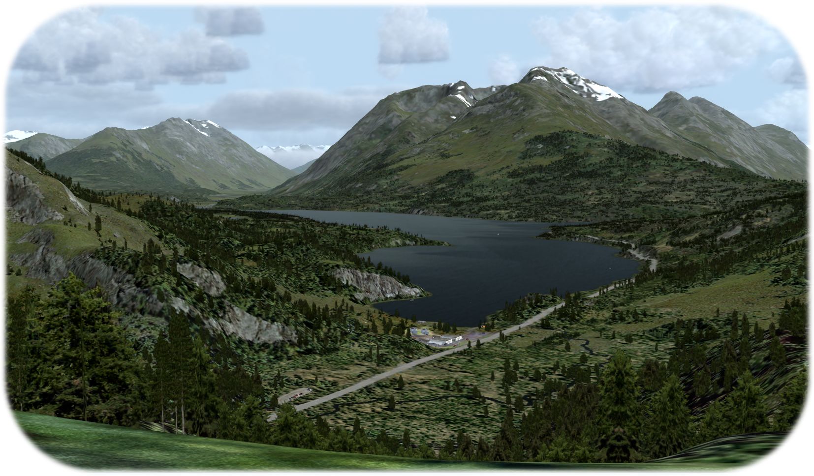 Click to Enlarge Click to Enlarge
|
The Western Chugach - Part 1 (Refreshed 06.15.2019) By Rod Jackson The Western Chugach - Part 1 adds isolated enhanced areas of true-to-life scenery that begin at Mile Marker 13.5 along the Seward Highway heading North from Seward, Alaska and end at Mile Marker 46.0 which is just above the Summit Lake SPB (52Z). Isolated terrain and object enhancements along the way stretch up to 5 miles on each side of the highway and include trails, campgrounds, homes, commercial areas and the town of Moose Pass. Detailed maps of the points of interest along the highway are included. The Western Chugach - Part 1: From Seward to Summit Lake (52Z) is the first part of a four-part scenery series that features super-detailed Alaskan wilderness scenery built on top of ORBX SAK based on real-life.
|
|||||||||||||||
|
TWC - Part 2 (Refreshed V2.0-06.15.2019) By Rod Jackson The Western Chugach - Part 2 adds many enhanced areas of true-to-life scenery covering over 600 square miles in the western Chugach Mountains including the Cooper Landing and Quartz Creek Airport (JLA) areas. This scenery includes some of the most beautiful scenery in Alaska featuring world-class salmon fishing, drift boat fishing, whitewater areas, rapids, waterfalls and a number of hand-drawn creeks plus the full length of the Russian River. There are numerous fishing lodges, bed and breakfasts and cabins depicted as well. The Western Chugach - Part 2 fits seamlessly with The Western Chugach - Part 1. NOTAM: Please read the instructions carefully, there are some differences from our standard installation. NOTAM: You can add TWC-2 Floats to add float boat pullouts along the river and the POI's for The Western Chugach Part 2 for Plan G can be found at Dieter's Corner.
|
|||||||||||||||
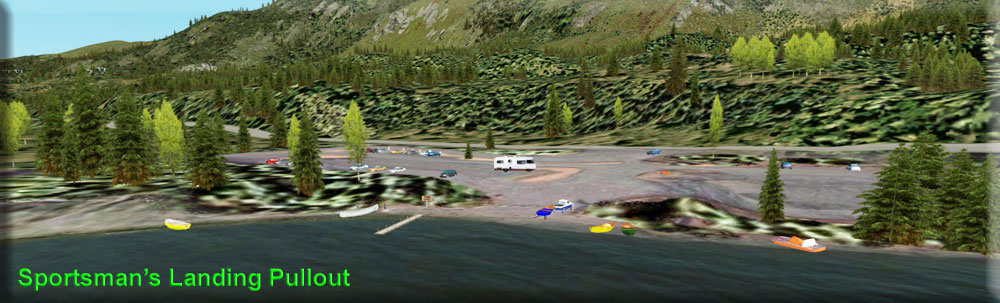 Click to Enlarge Click to Enlarge |
The Western Chugach ADDON-TWC-2 Floats (Refreshed V2.0-06.03.2019) By Doug Linn This is an "addon packages" for Rod Jackson's "The Western Chugach - Part 2". It adds "pullouts" for boat float trips down the Russian River. You can view the readme (below) to see pictures of the additions and a full explanation of how to use the float "pull outs". "4 digit" Latitude/Longitude/Headings are in the readme that will put you exactly at the dock of each of the pullouts. For those of you who do not have a "simulator boat" ... you can taxi down the river using a float plane.
|
|||||||||||||||
| Thorne Bay Island Retreat (Updated V2.0 - 06.03.2019) FSX Airport Name: "Thorne Bay Island Retreat", FSX ICAO Code: "PF08" Scenery and story created by Brad Allen Airstrip by Kim Gowney Start: N55 41.6156 ... W132 34.9307 ... Mag: 232 ... Land ... WP: PF08 Located in the Northwest arm of Thorne Bay, this destination welcomes pilots with a gravel airstrip located on a mudflat island. This is also a sea plane destination. There is a Pilot office, Restaurant, Bar, Lodge and several cabins located on the island. A maintenance hangar and watercraft facility are also on the grounds. While many pilots in the area don't agree with the superstitions, the local first nation tribe claims that there are spirits at play here that have cursed this destination. Several accidents have occurred here that have claimed the lives of misfortunate pilots so be sure to use caution when landing here. Another perfect location to take "Bob" out for a walk around the area.
|
||||||||||||||||
| Thumb Harbour -(Refreshed V2.0-06.03.2019) by Xavier Carre' Start: N52 47.3251 ... W127 59.6174 ... Mag: 129 ... Water ... WP: R233A Thumb Harbour is located in the Kynoch Inlet (BC). A narrow fjord, surrounded by high mountains, a paradise for boating, but not so easy for bush pilots. Thumb Harbour was a haven for fishing boats and provided a few services to crewmen. Now, with the growth of aerial traffic in Pacific Fjords area, a seaplane base settles here, providing services and fuel to boats, seaplanes and amphibious. A platform is built to allow easy maintenance, used also as helipad. You are not afraid by flying in narrow misty fjords, this is for you !
|
||||||||||||||||
|
Tillei Lake Cabin and Airstrip - (Refreshed V2.0-07.13.2019) Scenery and Storyline by Brad Allen Start: N61 42.6923 ... W129 32.5148 ... Mag 255.5 ... Land ... WP: R234A Tillei Lake Cabin offers visitors several options for arrival including a dock on the lake for floatplanes and a small dirt airstrip for wheel and ski aircraft. This airstrip is only safely approached from the lake side. The airstrip slopes up from the lake and remember that during normal flight operations at backcountry airstrips, it calls for landings to be made uphill and takeoffs to be made downhill. On an upslope runway, it is possible (and probable) that you can be deceived when approaching an upslope runway by an illusion of being higher than normal. This leads to a lower-than-normal approach. Problems arise when the density altitude and upslope terrain restricts airplane performance so that the power available may be insufficient to make it to the runway.
|
|||||||||||||||
|
Tincup Lake Landing - (Refreshed V2.0-06.15.2019) Scenery and Storyline created by Brad Allen Start: N61 49.9633 ... W139 16.4058 ... Mag 56.0 ... Water ... WP: R235A Tincup Lake Landing is a small fishing lodge that attracts tourists during the season. Anglers, campers and hunters arrive from nearby Burwash to Tincup Lake located in the Canadian Yukon territory. Buck, the owner of the lodge, used to be a helicopter pilot in Viet Nam and still owns a small Hughes Chopper he flys in occasionally. There are two heli pads for any helicopter pilots that visit the location. He's constructed the lodge and lives there year round. It's a constant challenge to keep the lodge up and he has plenty of projects that need attention. But he has a bush plane, boat and a jeep so he can reach the supplies he needs in various ways.
|
|||||||||||||||
 Click to Enlarge Click to Enlarge
|
Totem Bight Lodge and Ops Center (Refreshed V2 08.08.2019) Scenery and Story created by Doug Linn Start: N55 23.9325 ... W131 44.4974 ... Mag: 106.7 ... Land/Water ... WP: R236A (Start needs amphibian) The Totem Bight Operations Center is the original "maintenance area" for RTMM. We have reconstructed it giving it hardened ramps you can "drive" up onto. You can start from the "back deck" and go down into the water with an amphibian. You'll also notice a nice little cabin just off shore. A good place to park and watch the shipping traffic and float planes that navigate down the Tongass Narrows.
|
|||||||||||||||
| Tremadoc Lake Cabin (Refreshed 07.22.2019) Scenery and Story created by Brad Allen Start: N52 41.3154 ... W127 49.4225 ... Mag: 302 ... Water ... WP: R237A Sunrise came late this morning. The sky was clear but the path to our destination was deep inside the Kynock Fjord. Flanked by soaring walls of granite that give no quarter, the air was cool, the scenery fantastic. On the way in, Nina spotted a couple of wolves patrolling the shoreline and I banked over to get a better view. They never broke stride as we approached and only shot us a passing glance as we flew over them. They've seen those loud flying things before. Then a few miles afterwards, there wandering amongst the shrubbery was one of the largest black bears that we've ever seen. It looked huge even from 700 feet above. Not as confident as the wolves, the bear made a hasty retreat into a tall stand of Douglas Fir as we flew by. Soon the sun reached above the eastern ridges and as we turned north towards the cabin, we saw several campers below on Kayaks making their way north. The changing light, amazing terrain and the scenic wonder of this place always leave me surprised. All this and more await to be explored here in the Fjordland Conservancy area. As you make the trip to this secluded cabin, be sure to take in the surrounding scenery. It's not to be missed. The Fjordland Conservancy, is a huge protected wilderness area located approximately 60 miles (100 km) north of Bella Coola by air. Amazing terrain greets visitors to this world of inlets, islands, rivers, bays and fjords. Scores of waterfalls and glaciers are found here as well. Mountain ranges here vary from old growth forest to bare granite peaks. Camping and hiking are popular here along with wildlife-viewing opportunities. Populations of deer, salmon, and grizzlies thrive in this magnificent area. Landing Surface: Water (Does not freeze in Winter)
|
||||||||||||||||
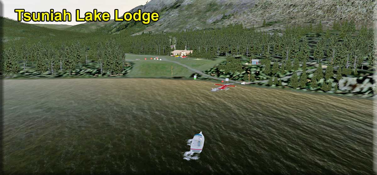 Click to Enlarge Click to Enlarge
|
Tsuniah Lake Lodge CAF4 (Refreshed V2.0-06.15.2019)
By Doug Linn Start: N51 31.6915 ... W124 9.3526 ... Mag: 267 ... Land ... WP: CAF4 Start: N51 31.6858 ... W124 9.2302 ... Mag: 134 ... Water For over 50 years we have been making peoples vacations a trip to remember. The lodge offers a variety of activities, whether its a game of pool, shuffleboard or a quiet moment to read by a fire, it all awaits you. The meals are served family-style in the main lodge and you won’t go away hungry. There is plenty of home cooking, right down to the fresh bread, baked daily and homemade pies. Because the lodge is located so deep in the Canadian wilderness, there aren’t any televisions or telephones, but there is electricity supplied by a water turbine. There are ten spacious cabins, each with 2 bedrooms, private baths, and a sitting room. You can cozy up by your wood stove and enjoy your view. The lodge has its own airstrip, CAF4 at 4000 feet. This is a real lodge and you can find the information on it HERE. There is heli and water operations (floats) facilities. The airstrip and a couple of buildings and docks are already in PNW. I added the lodge and the rest of the facilities. There is an active fuel pump at the end of the float plane pier.
|
|||||||||||||||
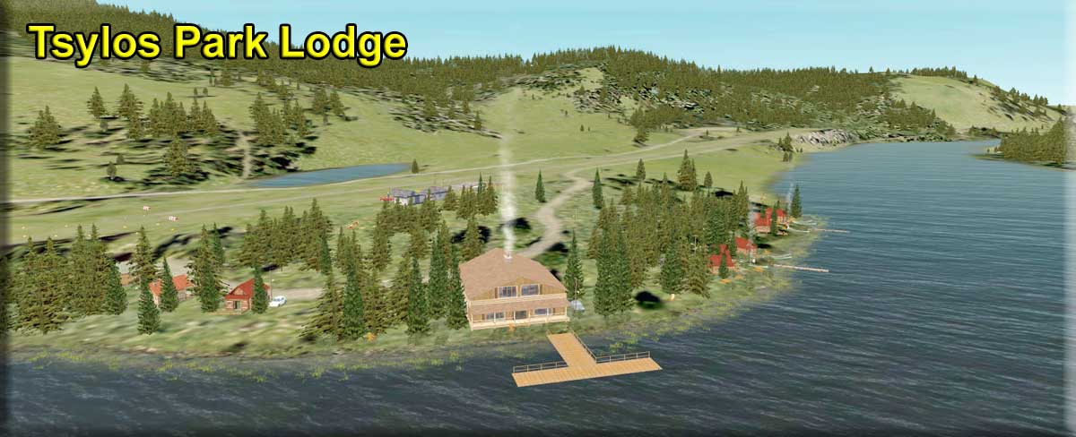 Click to Enlarge Click to Enlarge
|
Tsylos Park Lodge (Refreshed V2.0-06.15.2019) By Doug Linn Ground Start: N51 37.4016 ... W124 8.7255 ... Mag 118.7 ... WP: R238A Water Start:N51 37.2873 ... W124 8.7627 ... Mag 305.7 Our storybook “Canadian Wilderness Lodge” offers you that genuine “off the grid” wilderness experience that you crave. Whether you’re a group of friends, an adult family, or spending some romantic time with your mate, it truly offers you a wilderness hideaway far from the crowds. The Chilko area is wild, remote, and stunningly beautiful! Seldom visited and largely untouched, Chilko is like a rare gem. Few people have discovered it, but once discovered it is rarely forgotten. There are few areas in the world as beautiful to explore.Surrounded by the exquisite beauty of Chilko Lake and the B.C. Coastal Mountain range, you'll have a chance to kick back and enjoy the view, because your surrounded by beauty every where you go. Whether you're dreaming of a fly fishing trip, guided grizzly bear viewing tours, guided big game hunts or galloping on horseback with trail riding tours and mountain pack riding trips, Tsylos Lodge has appealing adventure vacation packages for all adults across generations. Since 1957, the McLean’s have been living and guiding at Chilko Lake. Today our guests come from around the world to join us at the lodge or in the back country. They have a few things in common; a sense of adventure, a love of the wild, and a passion for fly fishing, horseback riding, or wildlife photography. Tsylos Lodge continues to evolve from its humble beginnings as a hunting and fishing lodge into a rustic yet contemporary wilderness retreat for the 21st Century pioneer. The airstrip for Tylos Park Lodge is the Chiko Lake Airstrip CAG3 This information courtesy of the lodge. Website is HERE.
|
|||||||||||||||
| Tweedsmuir Peak (Refreshed 06.03.2019) FSX Airport Name: "Tweedsmuir Peak" - FSX ICAO Code: "PF16" Scenery Design and story by Brad Allen and Kim Gowney Start: N53 40.1646 ... W126 25.8020 ... Mag 59 ... Land ... WP: PF16 A short gravel strip halfway up this impressive outcrop that bears a striking resemblance to the caldera of Mt St Helens, though not as large, this is a region that really shows off some of the amazing landclass that ORBx have developed, flying around the Peak at a height of 1500ft AGL you can clearly see the morraine and alpine like features of the mountain, it's as if you were really there, this is summertime flying. In winter, the snowy slopes offer some skiing opportunities. Tweedsmuir Peak is located in the northernmost portion of Tweedsmuir Provincial Park. It's surrounded by pleasant heather slopes that are home to a heard of caribou. The northeast face is the only steep section of this generally mellow peak. The quickest approach consists of paddling across Ootsa Lake to a group of hunter cabins located on a small peninsula about 4.5 km east-southeast of the mouth of Macivor Creek. From the cabins, a good horse trail runs for about 15 km southwest to a destroyed cabin at Wolverine Pass, the saddle between Tweedsmuir Peak and Mount Wells to the north. From the pass, the north or northeast ridges of Tweedsmuir Peak offer easy summit routes. This scenery adds a triangulated radio telescope array located near this airstrip. The airstrip provides the necessary supply deliveries for the array staff and the windmills supply the power the array needs for operation.
|
||||||||||||||||
|
Twelve Mile Inlet Rafting Station (Refreshed V2.0-06.15.2019) Scenery and Storyline by Doug Linn Start: N55 20.9990 ... W132 44.0086 ... Mag 339 ... Water ... WP: R239A Rafting Stations or "Log Transfer Facilities" (LTF's) are common practice in Alaska. When you are harvesting timber from a National Forest and you are on an island, where trucks cannot take the timber to the saw or chip mill, then the logs are hauled by truck to a LTF. The logs are gently placed into the water and men gather the logs and bind them into rafts. The rafts are then moored and wait for a tugboat. When the tug comes, it gathers up several rafts and makes a "train" of them, usually several side by side and many rafts long. Then the logs are slowly towed to the saw mill or chip mill. There are two interesting laws in Alaska, timber harvested in the National Forests must be processed in Alaska. And to have an active LTF, you must have a Federal Permit from the Environmental Protection Agency. These LTF's can be harmful to the environment if they are wrongly placed and if the logs are not handled correctly. The bark coming off the logs can cause significant problems. The logs used to be sent down a shoot or a muddy bank to get to the water, but that knocked off a lot of bark and caused problems, killing shellfish and hurting the rest of the fauna and flora. So now the logs are "gently" placed in the water to minimize bark loss and harm to the environment. The Twelve Mile Inlet Rafting Station is where the log rafts are put together. If you look at the scenery carefully, you can follow the process being used.
|
|||||||||||||||
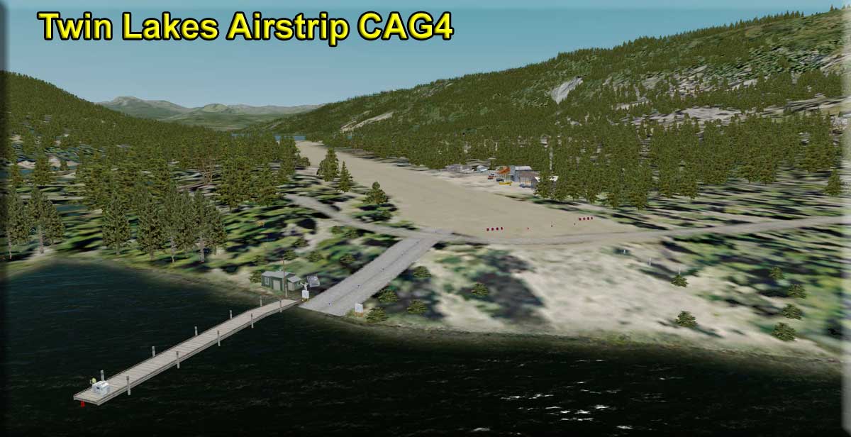 Click to Enlarge Click to Enlarge
|
Twin Lakes Airstrip (Refreshed V2.0-06.15.2019) By Doug Linn Land Start: N51 34.1261 ... W123 49.5811 ... Mag: 300 ... WP: CAG4 Water Start: N51 34.2284 ... W123 49.5034 ... Mag:191.6 Heli Start: N51 34.1233 ... W123 49.6066 The Twin Lakes airport (CAG4) is already in ORBX PNW. However, it is only a dirt strip with a couple of cabins. With this location, I've added a little airport terminal area, a helipad, a small medical center and an eating establishment. There is also an amphibian pullout that has a fuel pump. For the flight plan, we recommend you also install RTMM's Chilcotin Plateau Airfield. Twin Lakes is named for the two lakes on either end of the runway, Vedan Lake to the south and Elkin Lake to the north. Air operations and the amphibian pullout are on the north end of the strip near Elkin Lake.
|
|||||||||||||||
| Back to Top | ||||||||||||||||
 Click to Enlarge
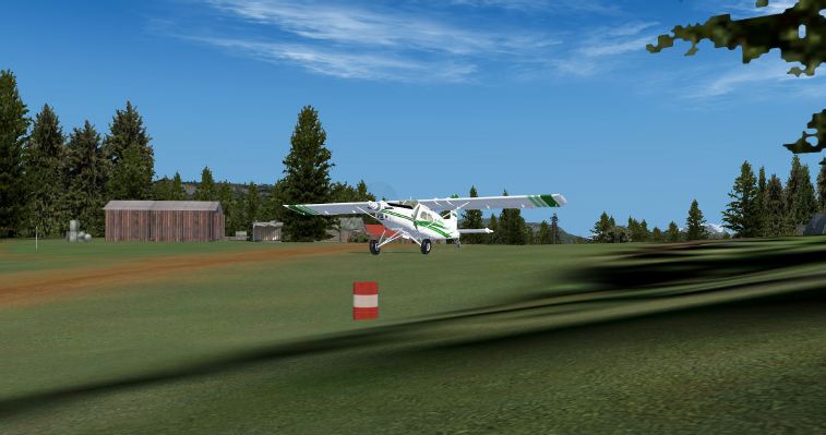 Click to Enlarge
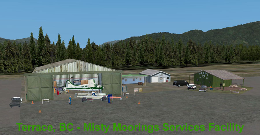 Click to Enlarge
 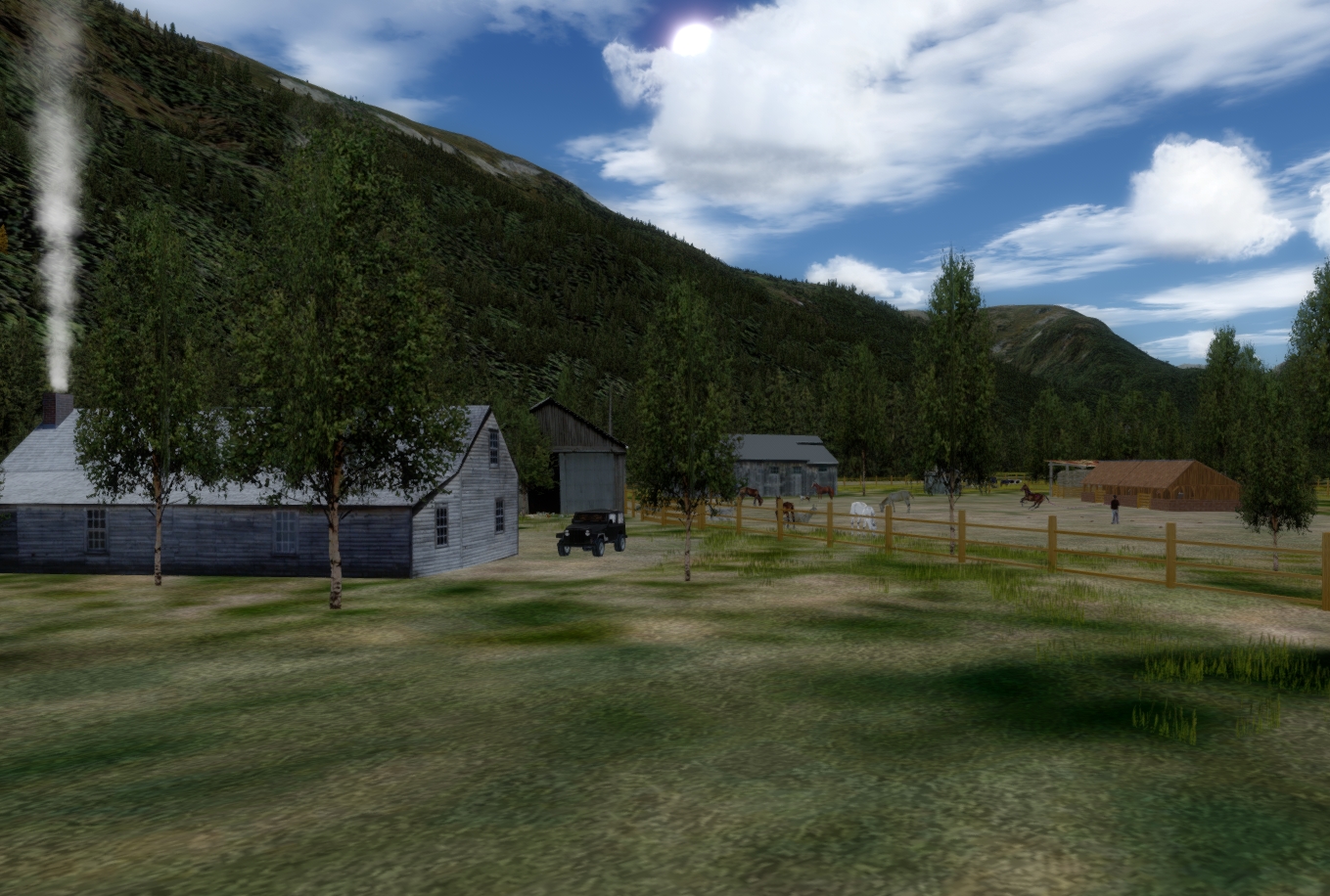 Click to Enlarge
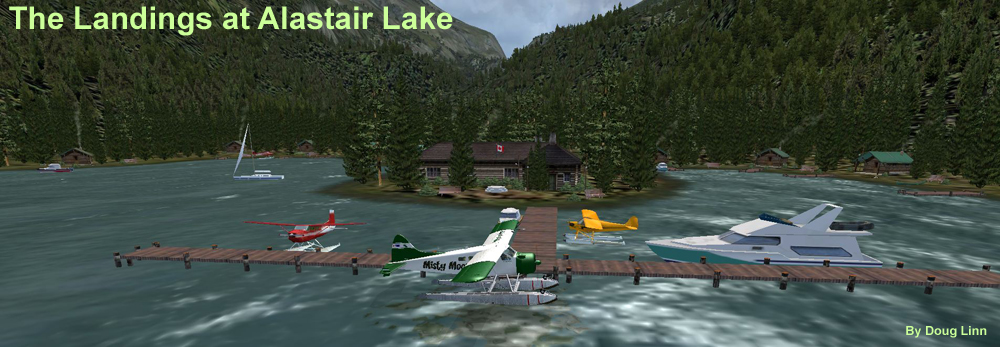 Click to Enlarge
 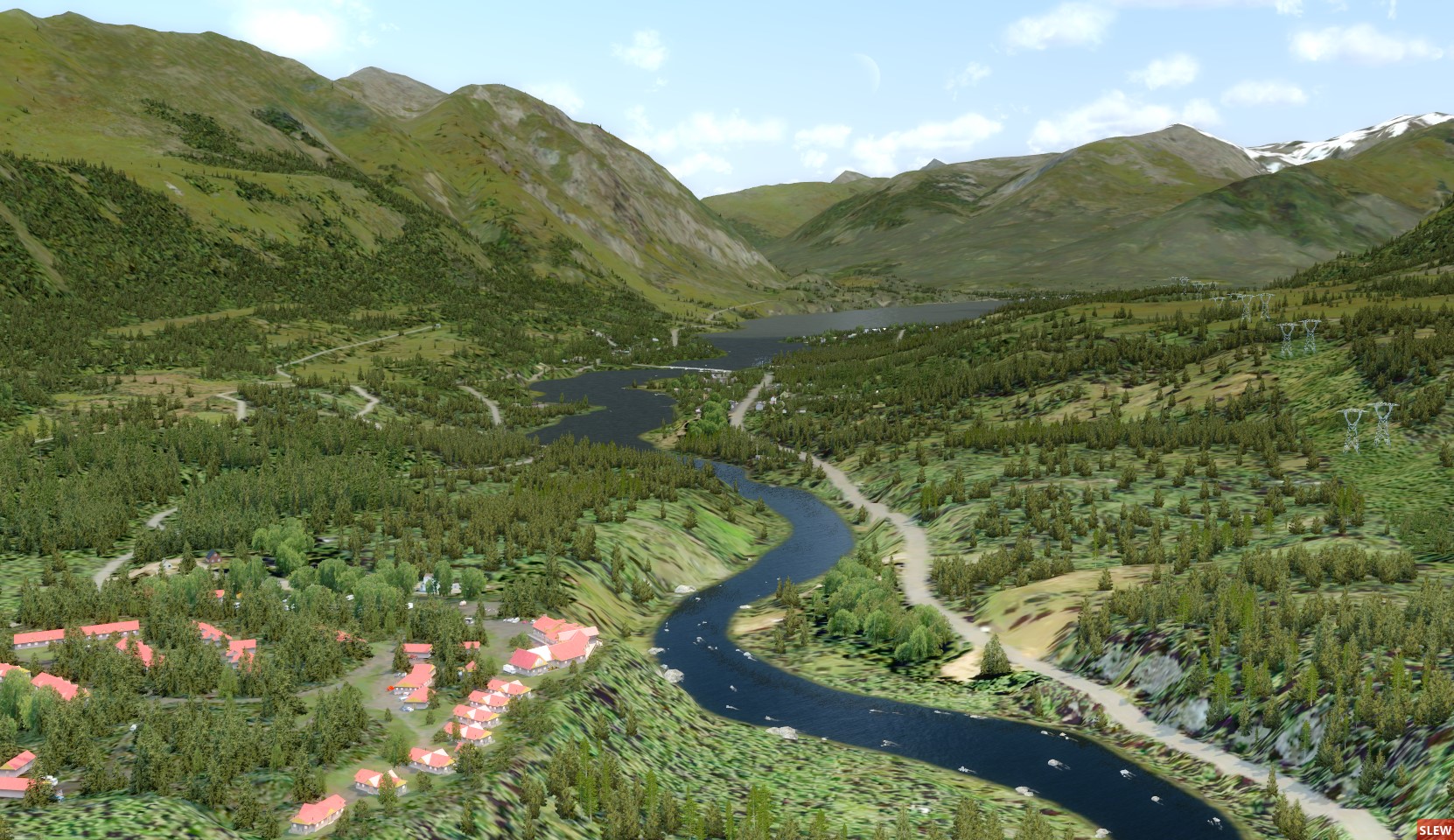 Click to Enlarge
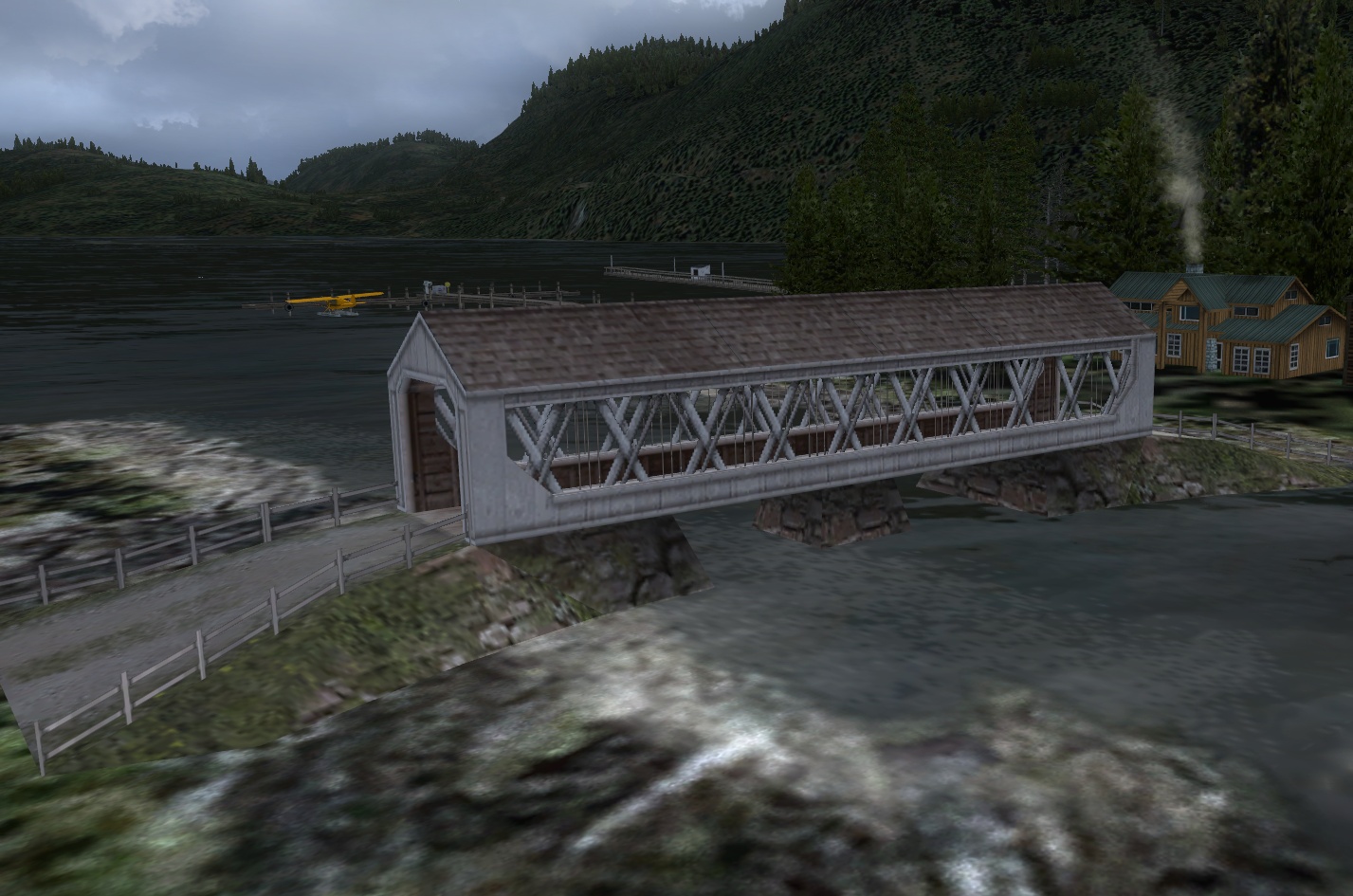 Click to Enlarge
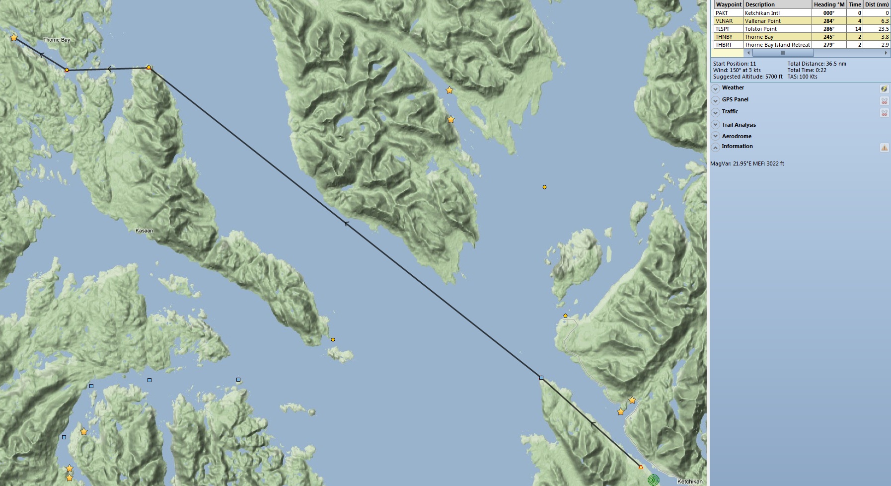
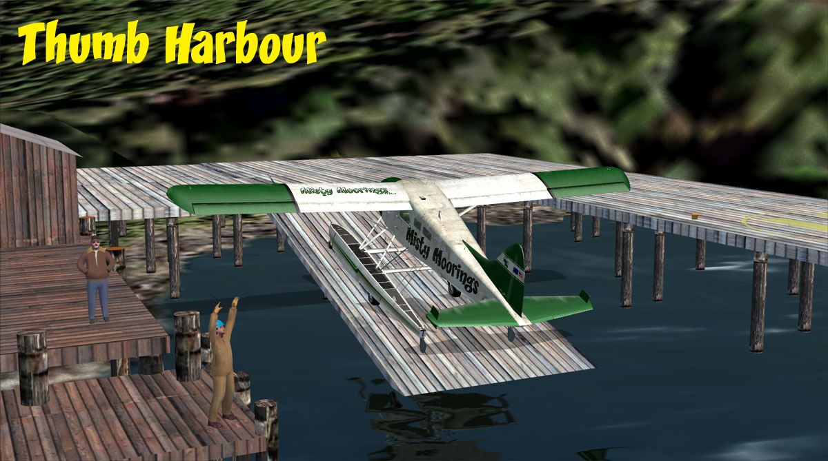 Click to Enlarge
  Click to Enlarge
 Click to Enlarge
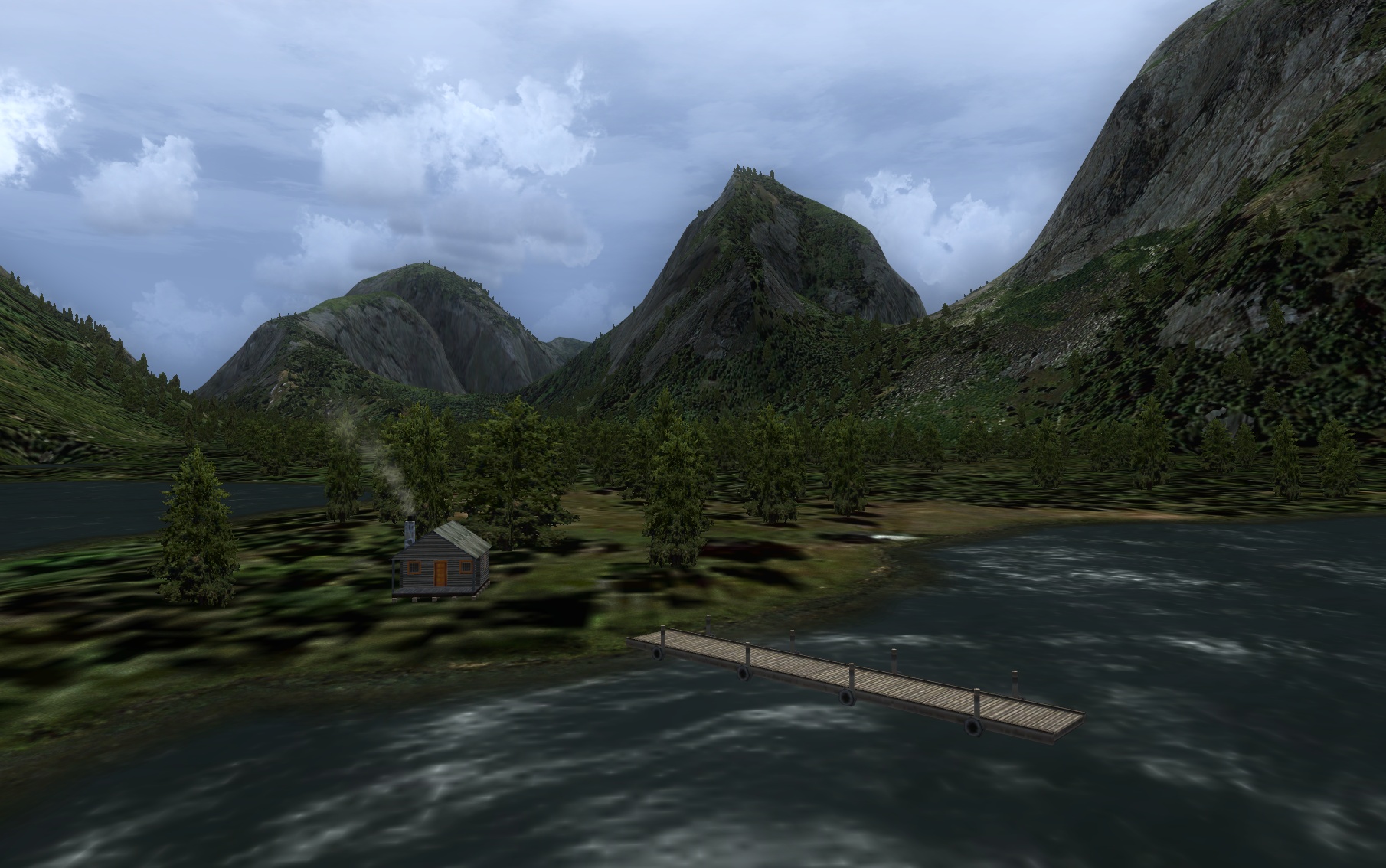 Click to Enlarge
 Click to Enlarge
  Click to Enlarge
| U | |
 See all at Link See all at Link |
[USFS] United States Forestry Service Cabins (From PFJ Service Pack 1 Update) Notam: All Starts are on the USFS Cabin Page Bill Womack has created some "look-alike" cabins and Holger Sandmann has placed them in the exact locations of the real ones in the new PFJ service pack. There are 38 new locations to find. RTMM will be supporting this addon scenery. We have a web page dedicated to the USFS Cabins. There you will find the location coordinates and even "mooring point" coordinates where you can start a flight at the cabin's mooring buoy. You will also find Trip Tics for many locations, Plan-G maps and Flight Plans them. We have also added the structure and starting points for all 12 lighthouses. This is also now on The Cabins page. Most of our scenery locations are "fantasy" but these are "real" for those who like to fly the "real thing." Each cabin is linked to the USFS Web Site's page for that cabin, so you can see an actual picture (left), see the list of items available at the facility and learn about each cabin. (You can even sign up to "rent" the real thing if you like!). |
| Back to Top | |
| V | ||||||||||||||||||||||||||||||||||||||||||||||||||||||||||||||||||||||||||||||||||||||||||||||||||||||||||||||||
|
Vancouver Project North Island by Brad Allen (Refreshed 06.18.2020) Start: (See Locations, below) The rugged north island region of Vancouver Island is a year-round outdoor adventure paradise offering a wealth of recreation opportunities and world-class sport fishing. Teeming with wildlife, the North Island provides plenty of rewarding opportunities for nature enthusiasts and photographers. Much of Vancouver Island once looked as the north island still does today. Only 3 percent of the island population lives on the northern half of Vancouver Island, and North Island communities are known for their warm hospality and friendliness. Many of the more remote resorts and hideaways are accessible only by chartered float plane or boat. Suggest using Port Hardy (CYZT) as your main airport for operations in this region of Vancouver Island. Locations:
NOTAM: Mike Mann's BC Lighthouses is a great addition to this scenery. HERE
|
|||||||||||||||||||||||||||||||||||||||||||||||||||||||||||||||||||||||||||||||||||||||||||||||||||||||||||||||
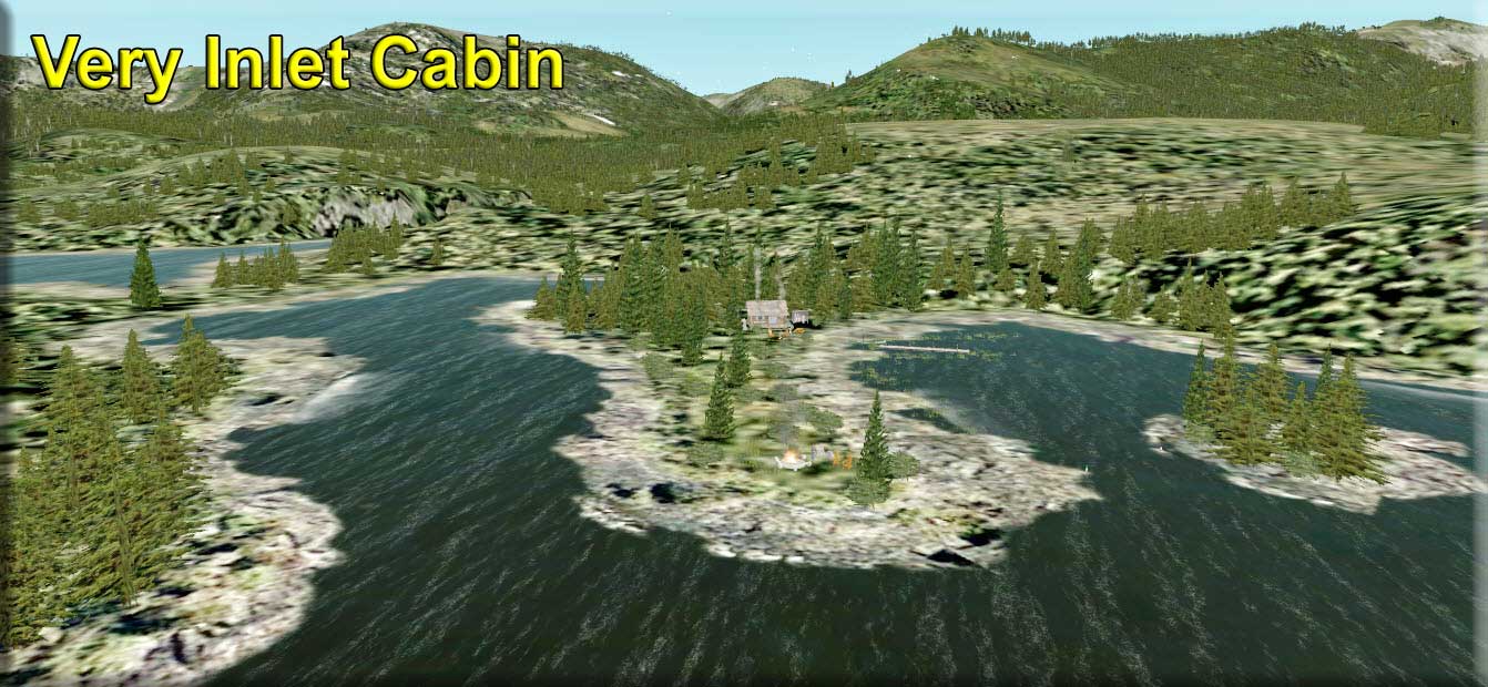 Click to Enlarge Click to Enlarge
|
Very Inlet Cabin by Doug Linn (Refreshed V2.0-06.15.2019) Start: N54 57.0996 ... W130 53.2028 ... Mag: 257 ... Water ... WP: R251A A small year-round cabin located about 35 miles southwest of Ketchikan in the Very Inlet. You can fly low and slow to this one for a nice sight-seeing flight. The landing zone is water and is "very" tricky ... there are many small islands in the inlet and you will have to select your best approach based on wind and island hazards for a safe landing. A fly-over, the first time, is recommended. Arrive at sunset and sit by the fire circle and watch the sun set and the dolphins swimming just off the shoreline. A relaxing way to end your day.
|
|||||||||||||||||||||||||||||||||||||||||||||||||||||||||||||||||||||||||||||||||||||||||||||||||||||||||||||||
| Victory Valley (Updated 06.03.2019) FSX Airport Name: "Victory Valley" - FSX ICAO Code: "PF30" Scenery Design, Custom Objects and Story by Xavier Carre Start: N53 6.6987 ... W127 9.9677 ... Mag 258.8 ... Water ... WP: PF30 Victory Valley is a beautiful valley, a marvelous valley surrounded by Mount Kastberg, Chatsquot Mountain and Sharks Teeth Peaks, in British Columbia. This is the story of its settlements. First, there was a Rangers station, very isolated, so, during 50's, an airstrip was added. Later, many hikers came here and the Rangers station became a lodge. As number of hikers got higher, a new lodge was built. But... Some airplanes accidents occurred due to crosswinds, and it was decided to add a new runway, and a hangar. You must go there ! Beware of mist and fog ! Note: The Kismquit River Run links this location to Kimsquit River Logging Camp.
|
||||||||||||||||||||||||||||||||||||||||||||||||||||||||||||||||||||||||||||||||||||||||||||||||||||||||||||||||
| Back to Top | ||||||||||||||||||||||||||||||||||||||||||||||||||||||||||||||||||||||||||||||||||||||||||||||||||||||||||||||||
 Click to Enlarge
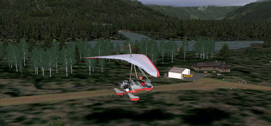 Click to Enlarge
 | W | ||||||||||||||||
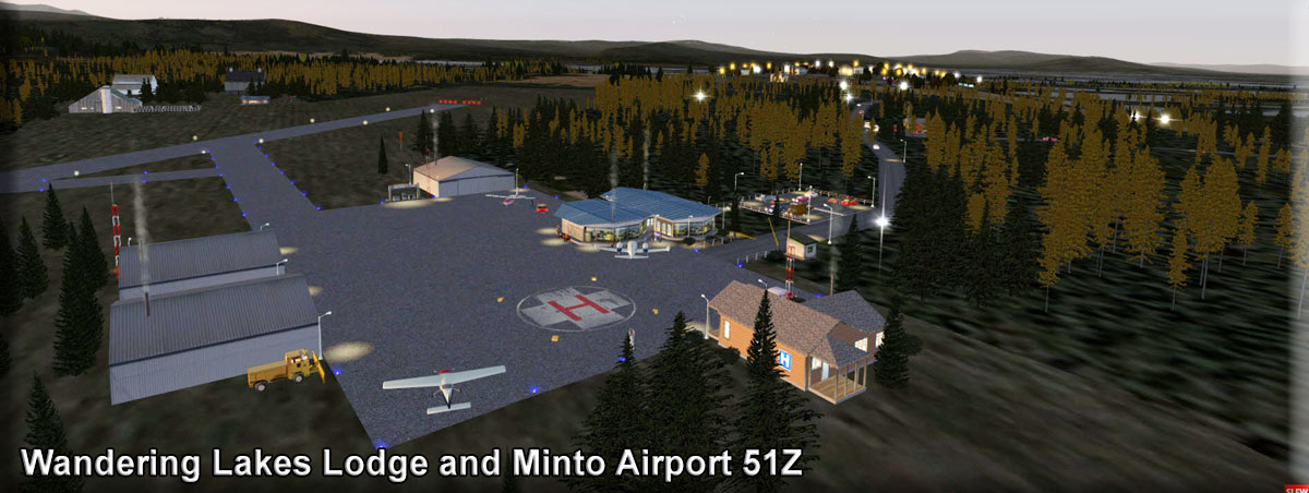 Click to Enlarge Click to Enlarge
|
Wandering Lakes Lodge (Refreshed 07.22.2020) By Doug Linn - A BWEP Addon Location (Interior) Start: N65 8.6355...W149 20.9665 ... Mag: 86 ... Land ... WP: 51Z Wandering Lakes Lodge is 3 miles from Minto, AK 51Z Airport. This scenery set updates the airport at 51Z and puts in the Wandering lakes Lodge (fictional) and a road system linking the airport and lodge to the local community of Minto. This location is an adjunct to BWEP, a location to fly to just off the BWEP INTERIOR section of pipeline. You can start from any of the four INTERIOR airports: Chatanika (PF59), Livingood Camp (4AKL), Hess Creek (PF60), and Cursed Hills (PF63). Minto is in the western part of traditional Tanana Athabaskan territory. During the late 1800s, some members of the nomadic Minto band traveled to Tanana, Rampart and Fort Yukon to trade furs for manufactured goods, tea and flour. After gold was discovered north of Fairbanks in 1902, steamboats began to travel on the Tanana River, bringing goods and people into the area. Old Minto, on the banks of the Tanana River, became a permanent settlement when some members of the Minto band built log cabins there. Other families lived there seasonally in tents. A school was established in 1937, but most families still did not live in Minto year-round until the 1950s. The people from the Minto band were eventually joined by families from Nenana, Toklat, Crossjacket and Chena. There are two versions of this, one Non Prepar3d users, and one for those who use Prepar3D V5. NonV5 Version -Below is the zip folder you should download if you DO NOT use Prepar3D V5.
V5 Version: Below is the zip folder you should download if you DO use Prepar3d V5
|
|||||||||||||||
|
Waterfall (Refreshed V2.0-06.15.2019) By Doug Linn, Dex Thomas and Rod Jackson Start: N55 17.6233 ... W133 14.6740 ... Mag: 340.9 ... Water ... WP: R252A Welcome to beautiful Waterfall, Alaska. This is the site of an historic cannery that was You can take a walk along the boardwalk to the town shopping area and dock, watch the fishing boats, drive up to the lodge, boat or fly over to the active waterfall area and many little things to explore along the way. README CLICK HERE
|
|||||||||||||||
| Westwood Inn (Refreshed 06.03.2019) Scenery created by Urs Burkhardt Start: N51 5.6833 ... W125 36.9901 ... Mag: 282.6 ... Land ... WP: R253A NOTAM: If you have a previous version, DELETE IT FIRST, then add this new, updated Scenery. Here it is, the real Westwood Inn. Located on an island at the head of the Knight Inlet, B.C., the mighty Klinaklini River (that formed a valley so beautiful only nature itself can do it), is the stage for some nice bush flying in British Columbia. And at its estuary lies an island which was once only occupied by birds and trees. That time is long gone. The Westwood Inn flying club was driven out of the Alsek River area, Alaska, by the advent of FSX and Orbx and set up shop at this specific location. The Westwood Inn Flying Club is a small, german-speaking, net community dedicated to online bush and backcountry flying, especially in the Pacific Northwest. Founded in 2005, the club mainly uses sceneries provided by H. Sandmann et al and its successors. And of course small propeller driven aircraft which are commonly found in the backcountry. So it is no surprise that flying in and out of the Westwood Inn airfield is a real challenge. There is no direct approach, and only one direction to land. The "runway" itself is dog-legged, with obstacles (a tree stump) at its side. And the place is somewhat cramped. Take care while taxiing and parking. A DHC-2 Beaver is the largest aircraft suitable for this place. You can land and take off in a Cessna 172, 182, L-19 and even in a powerful 337, but be aware that a certain proficiency is needed to master the Westwood Inn. Some of us go in and out in various ultralights and large Beavers. Anything STOL will do, Supercubs will have no troubles at all. A mere 40 miles to the north along the Klinaklini River lies Jobin Creek Cabin. This small place has a cleared field for landings, but it is only suitable for something really STOL, like Supercubs, J3 Cubs, Scouts and the like. Going in and out in a Bird Dog is manageable, but if the winds are wrong, you're stranded NOTAM: AI Boat Traffic for Westwood Inn by Dex Thomas
|
||||||||||||||||
| Whaletail Camp (Update 06.03.2019) Scenery and Storyline created by Brad Allen Start: N56 11.2690 ... W132 15.0723 ... Mag: 333.8 ... Water ... WP: R254A Nestled inside the protected Whaletail Cove is a fish camp that's perfect for anglers determined to take in the Misty Fjords in all it's glory. Whaletail Camp is a great place to use as your central location in the Whangell Islands. Fishing here is top notch and the camp offers plenty of space for larger groups of visitors. In the summer, it's booked well in advance so plan accordingly. Angling in Alaska can be incredible. Salmon runs are strong along our coasts, and there really are some giant halibut in Alaska waters. King salmon over 50 pounds are not at all uncommon. Grayling, rainbow trout and northern pike are easy to catch in many inland streams.
|
||||||||||||||||
| Whiskey Cove (Refreshed 06.03.2019) Scenery and storyline created by Brad Allen PF22 Sea Plane Base Creation, Boats\Floatplane Traffic & Sounds by Dexter Thomas Control Panel Designed and Programmed by Rod Jackson Start: N52 9.4376 ... W128 6.2107 ... Mag 245.8 ... Water ... WP: PF22 Located on Denny Island is the fishing village of Whiskey Cove. It has a water landing area and there are also several features like active AI objects, a floating dock you can drive an amphibian aircraft up onto and an animated hangar you can use to ride out any inclement weather in. This small hamlet is home to many interesting shoreline residences, docks and marina's for visitors to experience. You'll notice that this is an active area for aircraft and shipping. That's due to the two airports and two seaplane bases located nearby. There's Bella Bella, Denny Island airport (CYJQ), Bella Bella, Campbell Island airport (CAF2), Bella Bella, Waglisla SPB (CAR9) and Bella Bella, Shearwater SPB (CAW8) so plenty of aviation activity is in the area. You'll also see shipping traffic nearby if you have the RTMM Pacific Fjords AI Shipping Project installed. It is close to Bella Bella with a strategic location on the Inside Passage which makes it the major transportation hub for the Central Coast of British Columbia. Bella Bella, also known as Waglisla, is an unincorporated community and Indian Reserve community located within Bella Bella Indian Reserve No. 1 on the east coast of Campbell Island in the Central Coast region of British Columbia, Canada. Bella Bella is located 98 nautical miles (181 km) north of Port Hardy, on Vancouver Island, and 78 nautical miles (144 km) west of Bella Coola. Originally styled New Bella Bella to distinguish it from Old Bella Bella, which was on Denny Island, the community's official post office name for some time was Waglisla, meaning "river on the beach" in the Heiltsuk language. The Hudson's Bay Company's Fort McLoughlin was near the same location, which is on McLoughlin Bay. With a population of 1,400, Bella Bella is the largest community to be found on the Central Coast north of Queen Charlotte Strait. It is home to the Heiltsuk First Nation. Like many small communities on the coast, such as nearby Ocean Falls, Bella Bella has had a precarious and isolated existence. The closing of coastal cannery towns and decreased need for coastal shipping reduced the importance of Bella Bella's port. However, the resumption of ferry services by BC Ferries and the introduction of an air link from Vancouver via Port Hardy by Pacific Coastal Airlines have revived Bella Bella. It has a regional airport, BC Ferries terminal, regional hospital, regional Royal Canadian Mounted Police detachment, public dock, grocery store, post office, fuel station, fish plant, forestry company, freight company, cable vision and telecommunications infrastructure, Canadian Coast Guard Search and Rescue (SAR) facility as well as a number of bed and breakfast establishments, restaurants and small shops.
NOTAM: With the update, the RTMM Medical Libraries TEMP is needed.
|
||||||||||||||||
|
Whistler Aerodrome - ICAO CAE5 (Refreshed V2.0-06.15.2019) By Doug Linn Start: N50 8.6252 ... W122 56.9422 ... Mag: 164.4 ... Water ... WP: CAE5 Whistler Mountain Ski area is world wide ski attraction in the Vancouver area. There is a Sea Plane Base there, CAE5 that was left out of ORBX PNW. This puts in the airport for you. There is a companion file for this, Vancouver SPB. If you download and load that also, you'll have a way to use the Trip Ticket below. This base is positioned exactly as the real facility, except ours is better because of the new Brad's BBQ sitting by the shore serving up fine meals and coffee 24/7. This location works with the RTMM Season Switcher (By Rod Jackson), so it has four seasons that vary the scenery per the season. There is a Version 3 Trip Ticket that brings you from Vancouver SPB to the Whistler Aerodrome. It is about a 70 mile flight and there is "guide narration" built into the trip ticket to give you information about the area as you fly. Click on the V3 Trip Ticket Button below to view it. (If you don't know how to use the TripTics, go to the FAQ page and read about them). The Flight-Seeing flight (plan) is for "low and slow" ... 1200 feet until you begin to get into the mountains where you must go to 3500 feet for a landing at Whistler that has an altitude of 2800 feet. Watch out for the ice fishermen on the lake in the winter time ... the lake freezes so they take advantage of this and set up ice-fishing shacks out on the lake. You can read all about this in the README HERE.
|
|||||||||||||||
| Wilson River Lodge (Refreshed 06.03.2019) FSX Airport Name: "Wilson River Lodge"- FSX ICAO Code: "PF25" Story and Scenery created by Xavier Carre' and Brad Allen Start N55 23.9554 ... W130 36.6761 ... Mag:002.5 ... Land ... WP: PF25 Located at a confluence of two rivers, Wilson River Lodge welcomes visitors with a natural setting you're sure to remember. The lodge is famous for being located in such a scenic area. There's great fishing in any of the two rivers that start near the lodge. Arriving up the Wilson Arm, visiting pilots have a suitable dirt airstrip for even some of the larger operators in the area. There's a fair amount of parking for aircraft near the lodge. Boaters have a sizable amount of space all the way up the Wilson River to Wilson Lake. There's fishing spots on the floatplane dock or the nearby river pier. Fishing either Wilson River or the Blossom River is sure to yield results. Blossom River is actually a stream and fishermen will find a variety of fish including chum salmon, rock bass and chinook salmon here. Whether you’re fly fishing, spinning or bait casting your chances of getting a bite here are good. So grab your favorite fly fishing rod and reel, and head out to the Wilson River Lodge. If all goes well, the king will be hooked by your spawn sacs, the bass will be biting your grubs and the chum salmon will be grabbing your crayfish!! To "run the river" in a boat, the Wilson River Run is included in the download
|
||||||||||||||||
|
Wolverine Airstrip - CAD3 (Refreshed V2.0-06.15.2019) Scenery and Storyline by Brad Allen Start: N61 24.6594 ... W130 5.6021 ... Mag: 235.9 ... Land ... WP: CAD3 This airstrip is a great location to begin your adventure at in the Yukon. It's made of dirt and gravel and is well maintained although you will find that it needs grass cut near the edges of the airstrip in the summer months. There's a tractor left at the airstrip during the spring and summer and if you get the initiative to give the airstrip a trim, the tractor keys are kept inside the outhouse on a hook. The airstrip is also used by the Yukon Zinc Mining Corporation for supplies delivery and operations to/from the nearby Wolverine Project Mine. This scenery uses seasonal scenery so you'll need to install the RTMM Season Switcher Utility by Rod Jackson to get seasonal changes at this location.
|
|||||||||||||||
|
Wood Lake Research Station (Updated 04.21.2020) By Mike Broemme Start: N58 30.7262 ... W136 25.7856 ... Mag: 336.6 ... Land ... WP: R255A DESIGNER CREDITS : Wood Lake Research Station/Rusty's Airfield was originally created and designed by Jay Langham as part of Holger Sandmann's "Glacier Bay version 2" for FS2004 in March 2007. Rusty's Airfield now is a standalone scenery, conversion for FSX+AccPack or P3D by Mike Broemme, June 2015. This scenery is based on the old "Glacier Bay version 2" for FS2004 from 2007 and brings back some nostalgic memories. "Wood Lake Research Station" was part of Glacier Bay and has been updated to be usable in both Microsoft Flight Simulator X and Lockheed Martin Prepar3D. The Wood Lake Research Station is 'home' to a small staff of scientists and researchers for three months at a time throughout the year. Interested visitors and temporary guests to support the work are always welcome, but overnight facilities in the cabins are limited. If you do visit, you'd be well advised to bring a tent and sleeping bag, just in case. Wood Lake itself, some 3mi/5km north west of the station, has much to offer to anglers of all skill levels, so if you have room, bring your rod as well. If you're thinking of flying in, be aware that you won't get any aircraft maintenance or fuel here. Whatever you think you will need you must bring with you. A good starting point for your flight is Gustavus Airport [PAGS] where you can stock up on fuel, food and equipment before departure. The scenery is placed at 3 separate locations about the airstrip, with the main buildings situated at the turning circle at the southern end. There you will see a water tower, cabins, an old gas pump, a large hanger, a plane, various vehicles, a couple of academics plus small details such as the light poles with their lines and a fire place. The scenery is further enhanced by various wildlife sounds that lend the whole scene a certain ambiance. If you look carefully, you might spot some four-legged visitors. This is a beautiful and stunning location in which to work as you will see from the image 'Wood Lake_WI.jpg'. Well done yet again, Orbx. The scenery is lighted at night, but as you'd expect from such a remote location, it is limited.
|
|||||||||||||||
| Back to Top | ||||||||||||||||
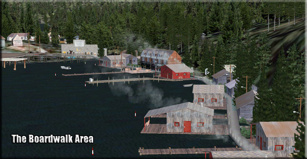 Click to Enlarge
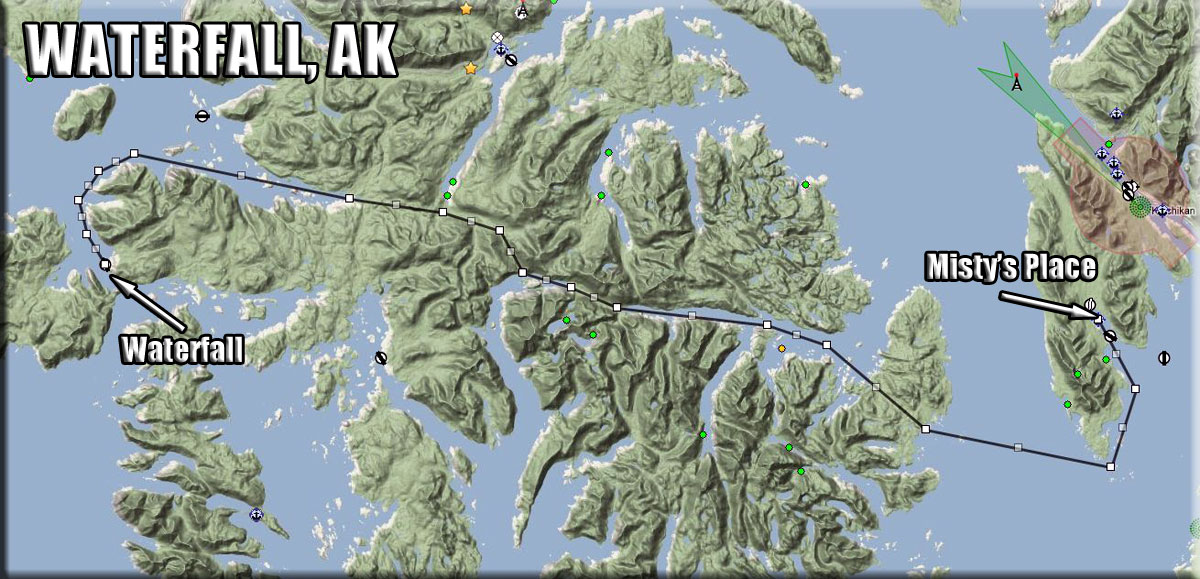
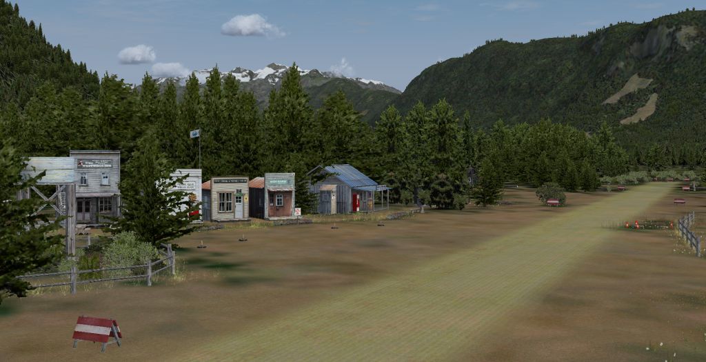 Click to Enlarge
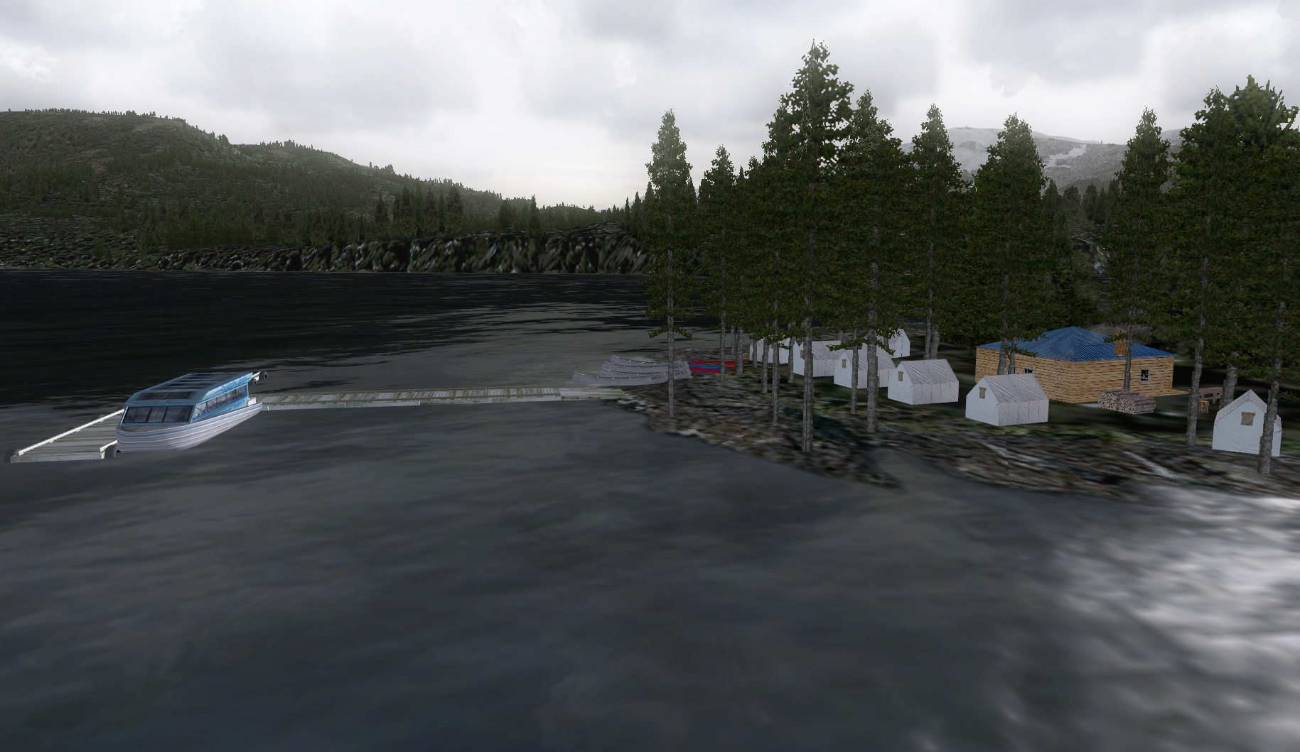 Click to Enlarge
 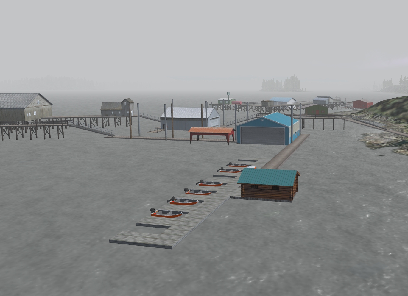 Click to Enlarge
 Click to Enlarge
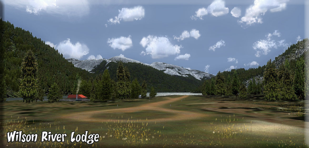 Click to Enlarge
  Click to Enlarge
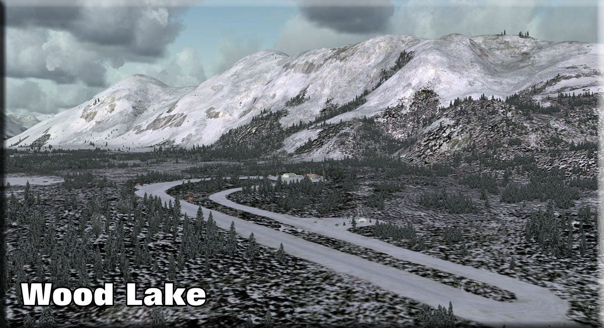 Click to Enlarge
| X | ||||||||||||||||
|
Xavier's Cabin (Refreshed V2.0-06.15.2019) Scenery and storyline created by Brad Allen Start: N52 48.8738 ... W127 40.7442 ... Mag: 214.3 ... Water ... WP: R256A Whenever Xavier has time to fly over from France during the summer months, this is his destination. This is a tribute to one of Return to Misty Moorings scenery designers, Xavier Carre'. It's a cabin placed along a very nice scenic river up high in the mountains of British Columbia. Look for a river run to be added to this scenery in the near future. (If you want to get there by water, use the "Fountain of Ute" river run.)
|
|||||||||||||||
| Back to Top | ||||||||||||||||
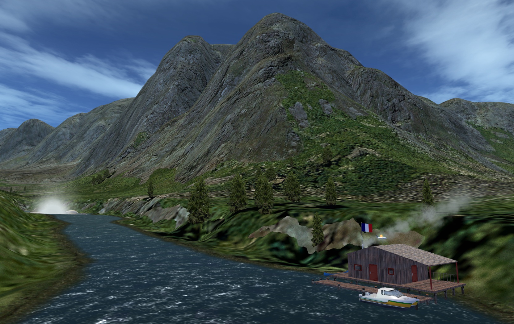 Click to Enlarge
 | Y | ||||||||||||||||
| Yakhoun Lake Cabin (Refreshed 06.03.2019) Scenery and Story created by Brad Allen Start: N53 19.6559 ... W132 16.3926 ... Mag: 027.1 ... Water ... WP: R257A A four person cabin with a small floating dock is located on the shore of Yakhoun Lake. Situated on the island of Haida Gwaii, known to the Haida as "Islands of the People", this location is a diverse archipelago of over 150 islands located on the Northwest coast of British Columbia, Canada. These islands are also known as the Queen Charlotte Islands. Nestled below the Alaskan Panhandle and separated from the British Columbia mainland by Hecate Strait, the Haida people have lived here for over 12,000 years. Made up of quaint villages, secluded inlets, and white-sand beaches that stretch as far as the eye can see, it's a place so remote that roads cannot bring you here, yet the warmest of welcomes await once you arrive.
|
||||||||||||||||
|
Yehiniko Lake and Airstrip (Refreshed 07.14.2019) Scenery and Storyline created by Brad Allen Start: N57 34.6813 ... W131 18.4675 ... Mag: 006.1 ... Water ... WP: R259A Yehiniko Lake is a lake located just 18.5 miles from Glenora, in the Kitimat-Stikine Regional District of British Columbia, Canada. There is a dirt airstrip that curves away uphill as you approach from the lake. Trying to land from the other approach direction is not advised here. Look for a small residence that calls this airstrip home. Hunting and fishing expeditions will use the small airstrip to drop off and pick up their clients in the warmer seasons. Fishing is good here and whether you’re fly fishing, baitcasting or spinning your chances of getting a bite here are very good. Located just north of Telegraph Creek, you'll find this to be a beautiful destination that has a nearby canyon set amongst a forest of trees that were burned down recently after a fire swept through the region.
|
|||||||||||||||
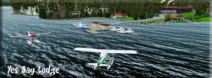 Click to Enlarge Click to Enlarge |
Yes Bay Lodge (Refreshed V2.1-06.03.2019) by Jacques Alluchon and Xavier Carré, with Dexter Thomas and Klaus Tröppner Start: N55 54.9171 ... W131 47.8351 ... Mag: 274.5 ... Water ... WP: 78K This is one of the more complex, realistic and beautiful scenery locations in RTMM. For a time we had to stop posting this beautiful contribution because of copyright problems. We have no received permission from Yes Bay Lodge to use their name in our scenery package and so we can legally offer you Yes Bay Lodge! You should look carefully at the PDF included for detailed installation instructions ... and follow them carefully! Also the PDF will give you a feeling for the incredible realism Jacques and Xavier put into this package. This is a MUST HAVE scenery location. READ PDF HERE.
|
|||||||||||||||
|
Yukon Crossing (Refreshed V2.0-06.03.2019) Outlier Location for BWEP Dalton Highway Segment By Doug Linn Starting Position: N65 52.78 - W149 43.26 – Mag: 343 ... WP: R258A This is a "real" location, duplicated as best we could from Google Earth. This is where the pipeline crosses the Yukon River. It is located about 4 miles south of Five Mile Airport (FVM). This is a great stopping off place for people traveling up and down the Dalton Highway, snacks, information and fuel are available. We've taken the liberty of turning one of the roads into a short runway so you can enjoy the location.
|
||||||||||||||||
| Back to Top | ||||||||||||||||
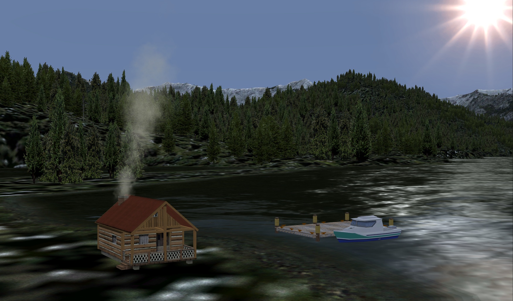 Click to Enlarge
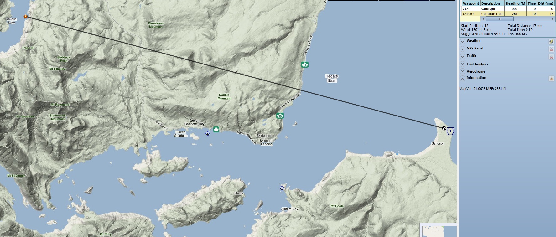
 Click to Enlarge
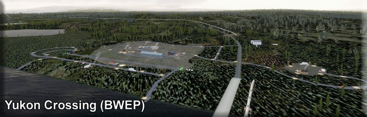 Click to Enlarge
| Z | |
| (Left Blank Intentionally ... there are no "Z" locations, we use this as a template) | |
| Back to Top | |